The best walks and hikes around Bradbury
4.8
(34)
527
hikers
56
hikes
Hiking trails around Bradbury are primarily situated within the Angeles National Forest, characterized by mountainous terrain, deep canyons, and forested slopes. The region features significant elevation changes, offering routes that ascend to peaks and traverse along ridges. This landscape provides a diverse environment for outdoor activities, ranging from shaded forest paths to exposed mountain trails.
Best hiking trails around Bradbury
- The most popular hiking route is Sturtevant Falls Trail, a 3.1 miles (5.0 km) trail that takes 1 hour…
Last updated: August 11, 2026
2
hikers
2.17km
00:41
120m
10m
Easy hike. Great for any fitness level. Easily-accessible paths. Suitable for all skill levels.
2
hikers
2.99km
00:46
20m
10m
Easy hike. Great for any fitness level. Easily-accessible paths. Suitable for all skill levels.

Sign up for free
1
hikers
7.78km
01:59
30m
20m
Easy hike. Great for any fitness level. Easily-accessible paths. Suitable for all skill levels.
14.0km
05:32
1,030m
1,030m
Hard hike. Very good fitness required. Easily-accessible paths. Suitable for all skill levels.
16
hikers
8.26km
02:30
280m
280m
Moderate hike. Good fitness required. Easily-accessible paths. Suitable for all skill levels.
Get access to more routes and recommendations from other explorers.
Sign up for free
Already have an account?
Our route recommendations are based on thousands of hikes, rides, and runs completed by other people on komoot.
Start today with a free account
Your next adventure awaits.
Login or Signup

Tips from the Community

Mostly smooth fire road through Monrovia Hillside Wilderness, but with some steep and technical sections that might challenge beginners. Ride counterclockwise from Canyon Park and follow the signs—many side trails cross private land. The descent includes tight switchbacks and a short singletrack section. You can stick to the main road or take the “advanced” trail, Cactus Road, for more climbs, exposure, and a fun technical finish.
0
0

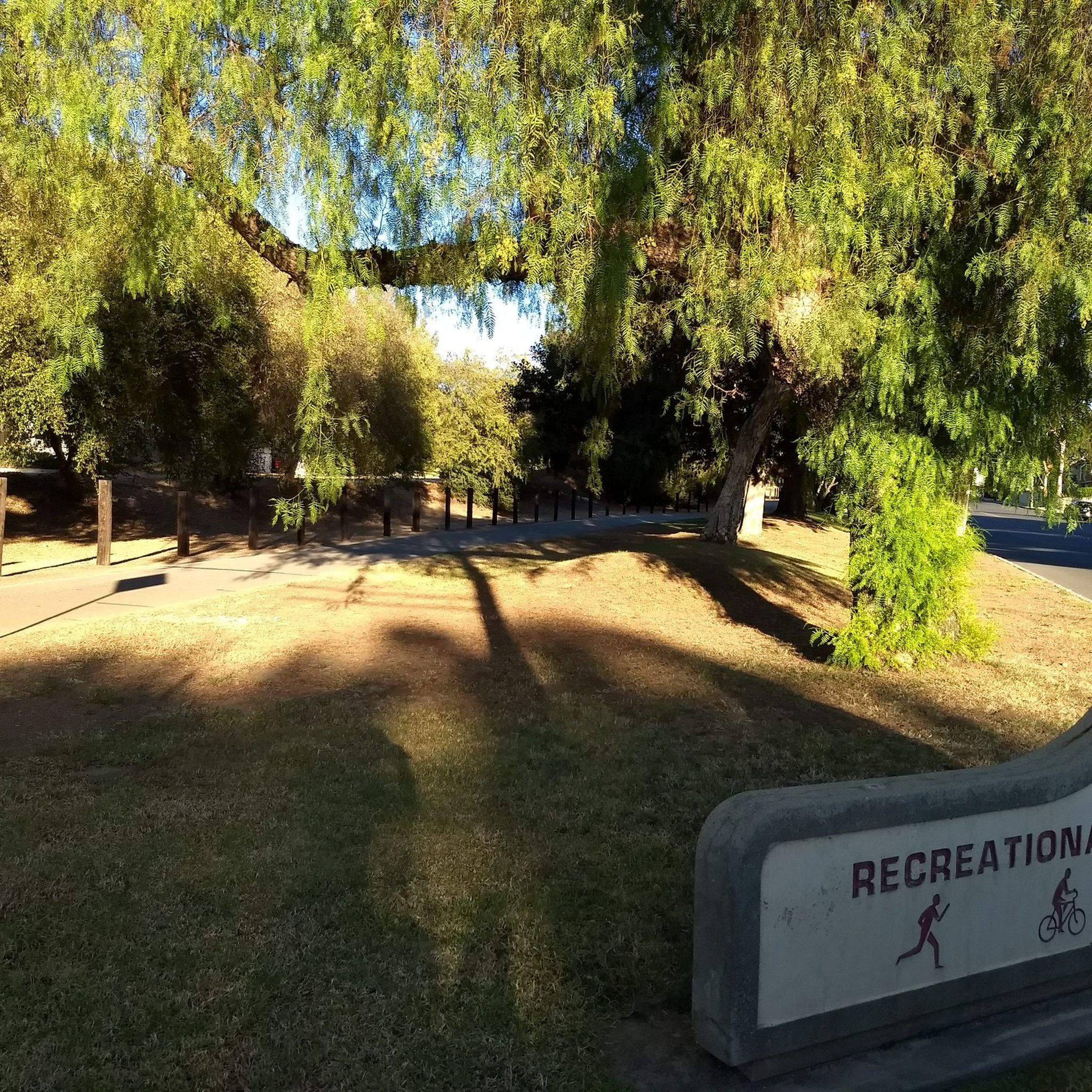
Leafy park with lawns and shaded seating, restrooms, drinking water fountains, and a bike repair station. Great for a break or as trailhead to ride west along the dedicated Duarte Bike Trail, a multi-purpose trail that was founded in 1977. It stretches 1.6 miles from Royal Oaks Park at Vineyard Avenue to Buena Vista Avenue. Next to the paved cycling path runs a dirt jogging and equestrian trail shaded by oak trees. The gently sloped trail follows the historic Pacific Electric Railway route, passing an arched bridge that once carried Red Trolley Cars to Los Angeles.
1
0

A challenging but manageable ascent takes you up to Clamshell Peak, residing at 4,360ft. The trail is fairly exposed all the way up, so plan heat conditions accordingly. You can also start this hike from Monrovia Canyon Park, but checks trail conditions prior to making the trek as wildfires have implemented temporary closures in the area. Bears are also present in the area. https://www.cityofmonrovia.org
0
0
Frequently Asked Questions
How many hiking trails are available around Bradbury?
There are over 35 hiking trails around Bradbury, catering to various skill levels. You'll find a good mix of easy, moderate, and difficult routes to explore.
Are there any easy hikes suitable for beginners or families?
Yes, there are 10 easy routes available. A popular choice is the Sturtevant Falls Trail, a 3.1-mile path that leads through a forested canyon to a notable waterfall, taking about 1 hour 33 minutes to complete.
What are some challenging hikes for experienced hikers?
For experienced hikers, there are 11 difficult routes. The Mount Wilson via Sturtevant Trail loop — Angeles National Forest is a challenging 12.0-mile path with significant elevation gain, offering expansive views. Another demanding option is the Mt. Zion loop — Angeles National Forest, a 12.4-mile trail through mountainous forest.
Are there any waterfalls to see on the trails?
Yes, the Sturtevant Falls Trail is specifically known for leading to a notable waterfall, making it a popular destination for those seeking scenic water features.
What kind of terrain can I expect on hikes around Bradbury?
The hiking trails around Bradbury are primarily situated within the Angeles National Forest, characterized by mountainous terrain, deep canyons, and forested slopes. You can expect significant elevation changes, with routes ascending to peaks and traversing along ridges, offering both shaded forest paths and exposed mountain trails.
What do other hikers say about the trails in Bradbury?
The routes in Bradbury are highly rated by the komoot community, with an average score of 4.8 stars from over 30 reviews. Hikers often praise the diverse mountain terrain, the rewarding views from higher elevations, and the variety of trails available for different skill levels.
Are there any points of interest or attractions near the hiking trails?
Yes, there are several points of interest nearby. You can explore the Duarte Bike Trail, the End of San Gabriel River Bike Path, or the Rio Hondo Greenway. These offer additional opportunities for outdoor activity and exploration.
Are there any trails that offer expansive views?
Many of the more challenging routes, such as the Mount Wilson via Sturtevant Trail loop, involve significant elevation gain and are known for offering expansive views of the surrounding mountainous landscape.
What is the typical duration for hikes in this area?
Hike durations vary significantly based on difficulty and distance. Easy trails like the Sturtevant Falls Trail can be completed in under 2 hours, while more difficult routes like the Mt. Zion loop can take over 7 hours.
Can I find trails that are less traveled for a quieter experience?
While specific 'hidden gem' trails aren't explicitly listed, the region offers a wide network of paths. Exploring some of the moderate to difficult routes, which might see less traffic than the most popular easy trails, could provide a quieter hiking experience.
Are there any trails that pass through varied mountain terrain?
Absolutely. Many trails, especially those with significant elevation changes like the Mount Wilson via Sturtevant Trail loop, traverse varied mountain terrain, including forested sections, rocky ascents, and ridge walks.
Most popular routes around Bradbury
Most popular attractions around Bradbury

Get inspired with the komoot mobile app


Explore more
Browse the best Hikes in other regions.
