The best road cycling routes around Riveristalsperre
4.7
(232)
2,397
riders
91
rides
Road cycling routes around Riveristalsperre are characterized by a diverse terrain that includes the Riveristalsperre reservoir, the wooded hills of the Osburger Hochwald, and the scenic Ruwer Valley. The region offers a mix of mostly paved surfaces, with routes following former railway lines providing relatively flat sections and gentle climbs. Cyclists can experience ascents, such as the initial climb to the 50-meter-high dam, followed by flatter sections along the reservoir. The landscape features dense forests, picturesque vineyards, and open meadows,…
Last updated: October 4, 2026
4.7
(11)
158
riders
Moderate road ride. Good fitness required. Mostly well-paved surfaces and easy to ride.
19
riders
27.7km
01:29
550m
550m
Moderate road ride. Good fitness required. Mostly well-paved surfaces and easy to ride.

5.0
(1)
8
riders
30.9km
01:45
580m
580m
Moderate road ride. Good fitness required. Mostly well-paved surfaces and easy to ride.
4.0
(1)
2
riders
24.6km
01:13
360m
360m
Moderate road ride. Good fitness required. Mostly well-paved surfaces and easy to ride.
6
riders
67.8km
03:33
1,110m
1,110m
Hard road ride. Very good fitness required. Mostly well-paved surfaces and easy to ride.
Get access to more routes and recommendations from other explorers.
Already have an account?
Our route recommendations are based on thousands of hikes, rides, and runs completed by other people on komoot.
Start today with a free account
Your next adventure awaits.

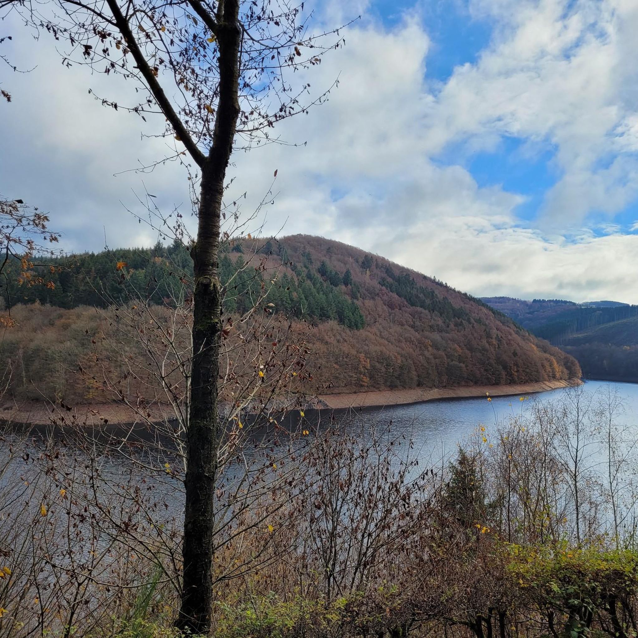
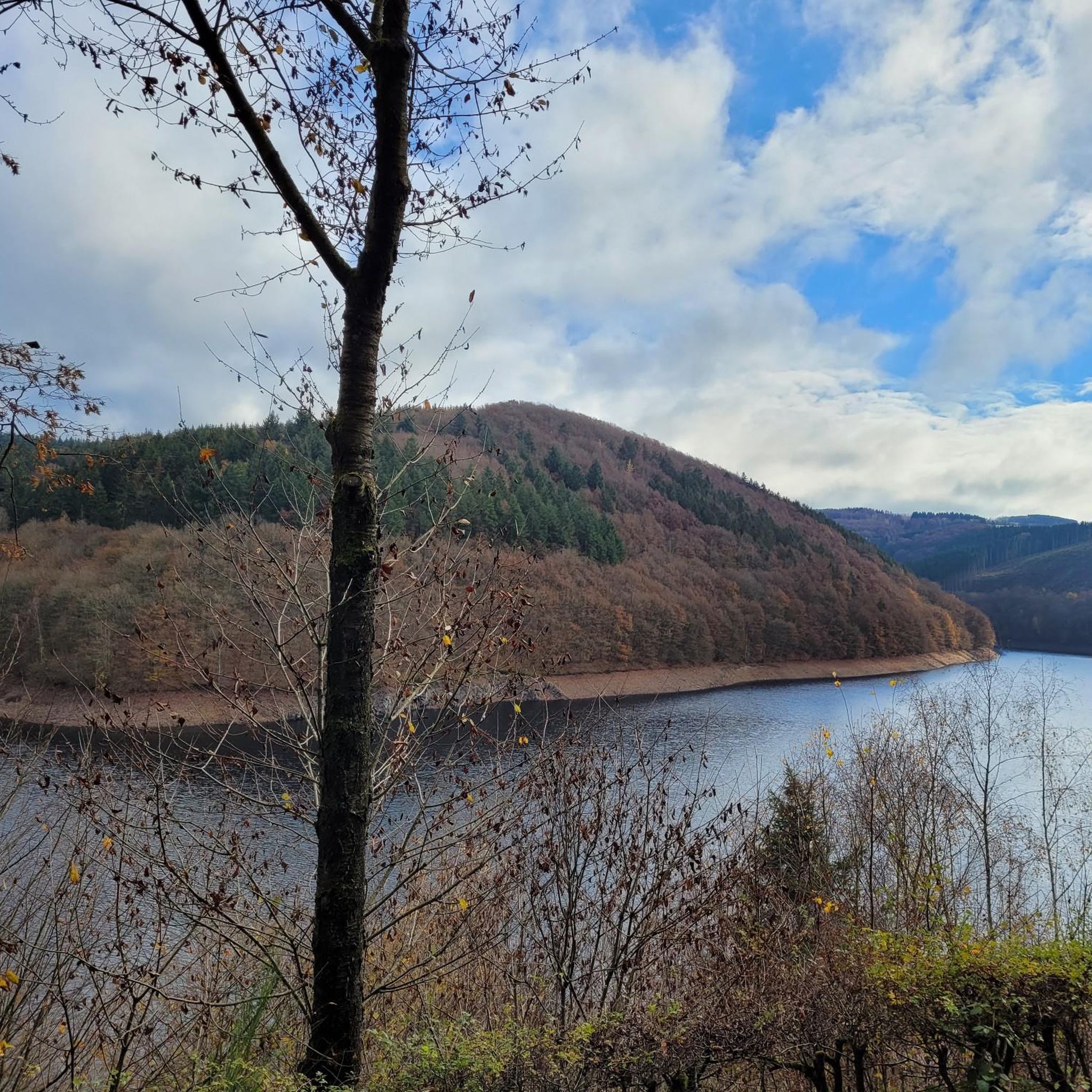
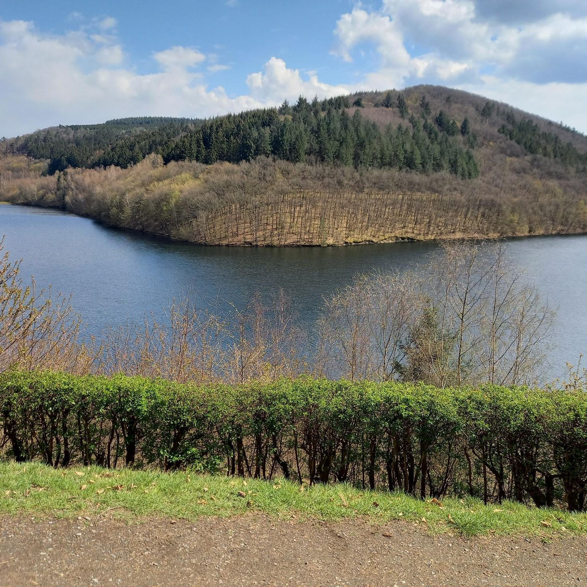
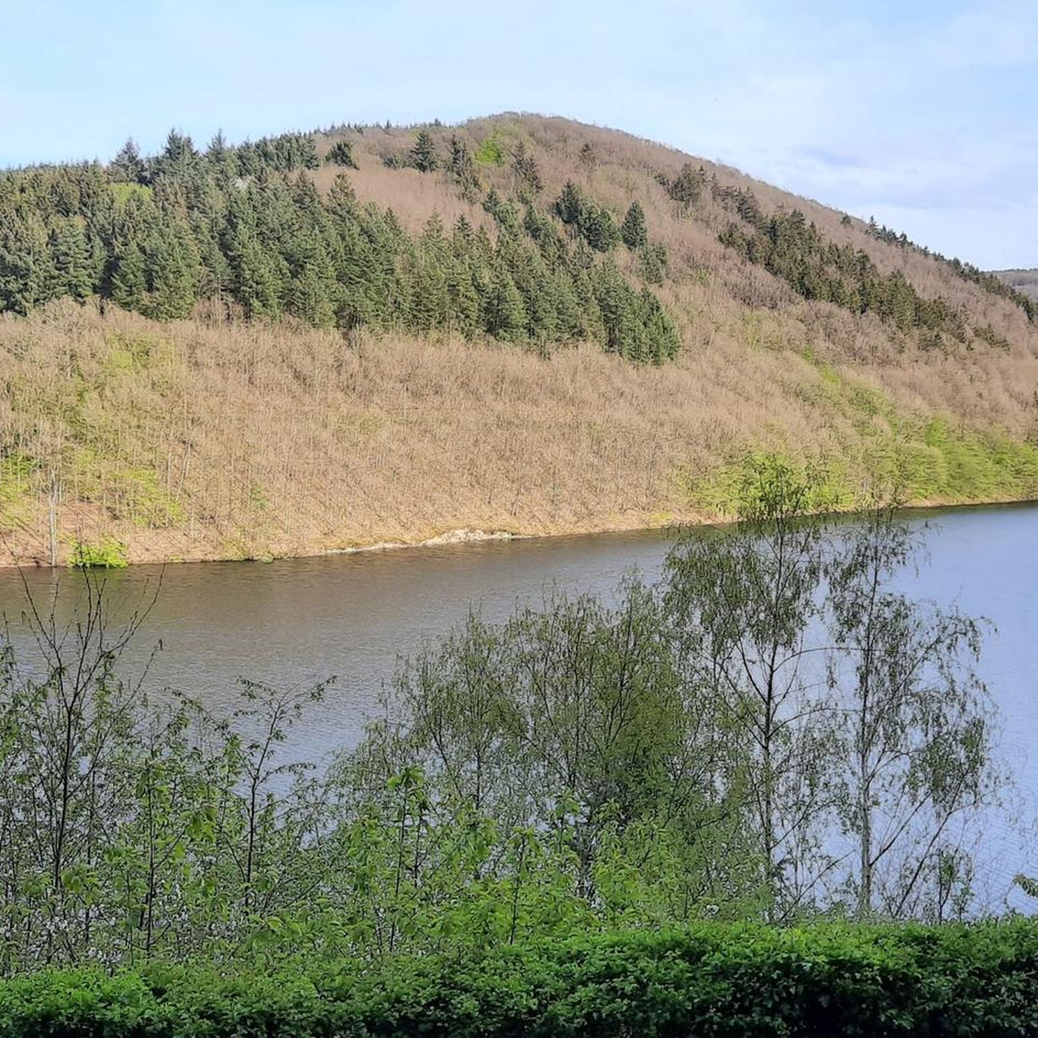
Tips from the Community

Path of the "1000" Bridges
0
0

The Ruwer-Hochwald-Radweg is a well-developed cycle path on a former railway line, therefore only a moderate gradient of on average (!) one percent - but you can still feel it, both when cycling from Trier-Ruwer to Hermeskeil (uphill, about 400 meters of altitude difference over the 50-kilometer route) and vice versa downhill. The lower section goes through beautiful forest, the upper section through more open landscape - always along the course of the Ruwer river. In the villages along the way, there are places to stop for refreshments. If you only want to cycle the route in one direction, you can use the RadBus line 222 for the other direction (from April 1st to November 1st on weekends and public holidays; daily during Rhineland-Palatinate school holidays; e-bikes also possible). Attention - it is advisable to book in advance to secure your space for the bicycle. Info at https://www.radbusse.de/pages/radbusse/hunsrueck/ruwer-hochwald-222.php, timetable inquiries at https://www.vrt-info.de/fahrt-planen.
0
0

I drove past it, but didn't take a photo
0
0

If you want to drive to the Hunsrück, e.g. Mandern or Kell am See, without electronic assistance, you have to be prepared for kilometers of slight incline. Absolutely doable, but also monotonous. The path is in great shape, however.
0
0

I really like riding this trail with my bike. It's pleasantly short and very practical when you start in the morning in Trier, have the climbs ahead of you and can then largely ride downhill.
1
0

Nice when you arrive at the top in Hockweiler
1
0

Very beautiful panorama.
1
0

Or you can speed down from Hockweiler to Irsch with a beautiful panoramic view. Both have their charm.
0
0
Frequently Asked Questions
What kind of terrain can I expect when road cycling around Riveristalsperre?
The Riveristalsperre region offers diverse terrain for road cyclists. You'll find a mix of mostly paved surfaces, including sections of the Ruwer-Hochwald Cycle Path which follows a former railway line, providing relatively flat sections with gentle climbs. There are also ascents, such as the initial climb to the 50-meter-high dam, followed by flatter sections along the reservoir. The landscape features dense forests, picturesque vineyards, and river valleys.
Are there any family-friendly road cycling options near Riveristalsperre?
Yes, the region is suitable for families. A popular and accessible option is the almost 8-kilometer circular path directly around the Riveristalsperre dam. This route is closed to car traffic, providing a safe and serene environment. Additionally, the Ruwer-Hochwald Cycle Path, which is entirely paved, is known for its family-friendly nature with relatively flat sections and gentle gradients.
Can I bring my dog on the road cycling routes around Riveristalsperre?
While the circular path around the Riveristalsperre is popular with cyclists, hikers, and joggers, it's generally suitable for dogs on a leash. For specific routes, it's always best to check local regulations or the route description on komoot for any restrictions regarding pets, especially in nature reserve areas.
What are some notable landmarks or viewpoints I can see while cycling?
Road cyclists can enjoy several impressive sights. The 50-meter-high Riveris Dam itself is a central point of interest. Along the circular route, you'll find a distinctive Rock Formation at the Riveris Reservoir. There are also designated viewpoints, such as a double viewing bench overlooking the Riveris Reservoir, offering picturesque spots to take a break and enjoy the scenery.
Are there any circular road cycling routes around Riveristalsperre?
Yes, a prominent circular route is the almost 8-kilometer path directly surrounding the Riveristalsperre dam, which is car-free. For a longer option, the Covered bridge over the Ruwer River – Ruwer Covered Wooden Bridge loop from Holzerath is a moderate 36.2 km loop that offers a scenic experience.
What is the best time of year for road cycling in the Riveristalsperre region?
The region is generally enjoyable for road cycling from spring through autumn. During these seasons, the weather is typically mild, and the natural landscapes, including the wooded hills and vineyards, are at their most vibrant. While some routes may be accessible in winter, conditions can be challenging due to cold weather or potential ice.
Where can I find parking for road cycling routes near Riveristalsperre?
Parking is generally available near the Riveristalsperre, especially for accessing the circular path around the dam. For routes starting in nearby villages like Holzerath, you can often find designated parking areas. It's advisable to check the starting point details of your chosen komoot tour for specific parking recommendations.
Are there cafes or restaurants along the road cycling routes?
While the immediate circular path around the Riveristalsperre is more natural, the broader region, especially along routes like the Ruwer-Hochwald Cycle Path and in the idyllic villages it passes through, offers opportunities for cafes and restaurants. You might find options in towns like Riveris or other communities along your chosen route.
What do other road cyclists enjoy most about road cycling in Riveristalsperre?
The area is highly rated by the komoot community, with an average score of 4.7 stars from over 160 reviews. Reviewers often praise the diverse terrain, the scenic beauty of the reservoir and surrounding forests, and the well-maintained, mostly paved surfaces, particularly the car-free sections and the Ruwer-Hochwald Cycle Path.
How many road cycling routes are available around Riveristalsperre?
The Riveristalsperre region offers a wide selection of road cycling routes, with over 90 tours available. These range from easy to difficult, ensuring options for various fitness levels and preferences.
Are there routes with significant elevation gain for more advanced cyclists?
Yes, while some routes offer gentle climbs, the region also provides options for more challenging rides with significant elevation gain. For instance, the Ruwer-Hochwald Cycle Path – View of Saarburg loop from Holzerath is a difficult 67.8 km route with over 1100 meters of elevation gain, suitable for experienced road cyclists.
Can I access the road cycling routes using public transport with my bicycle?
Public transport options to the Riveristalsperre area, particularly with bicycle transport, can vary. It's recommended to check local bus or train schedules and their bicycle carriage policies in advance. Some regional services might accommodate bicycles, especially for accessing points along the Ruwer-Hochwald Cycle Path.
What is the difficulty level of road cycling routes in this area?
The road cycling routes around Riveristalsperre cater to a range of abilities. You'll find routes classified as easy, moderate, and difficult. For example, the View of Reinsfeld – Former Train Station Rest Area loop from Holzerath is a moderate 28.4 km path, while the Scenic Forest Trail loop from Ruwer is also a moderate option.
Most popular routes around Riveristalsperre
Most popular attractions around Riveristalsperre

Get inspired with the komoot mobile app


Explore more
Browse the best Road cycling routes in other regions.
