The best cycling routes around Springdale
4.8
(37)
875
riders
63
rides
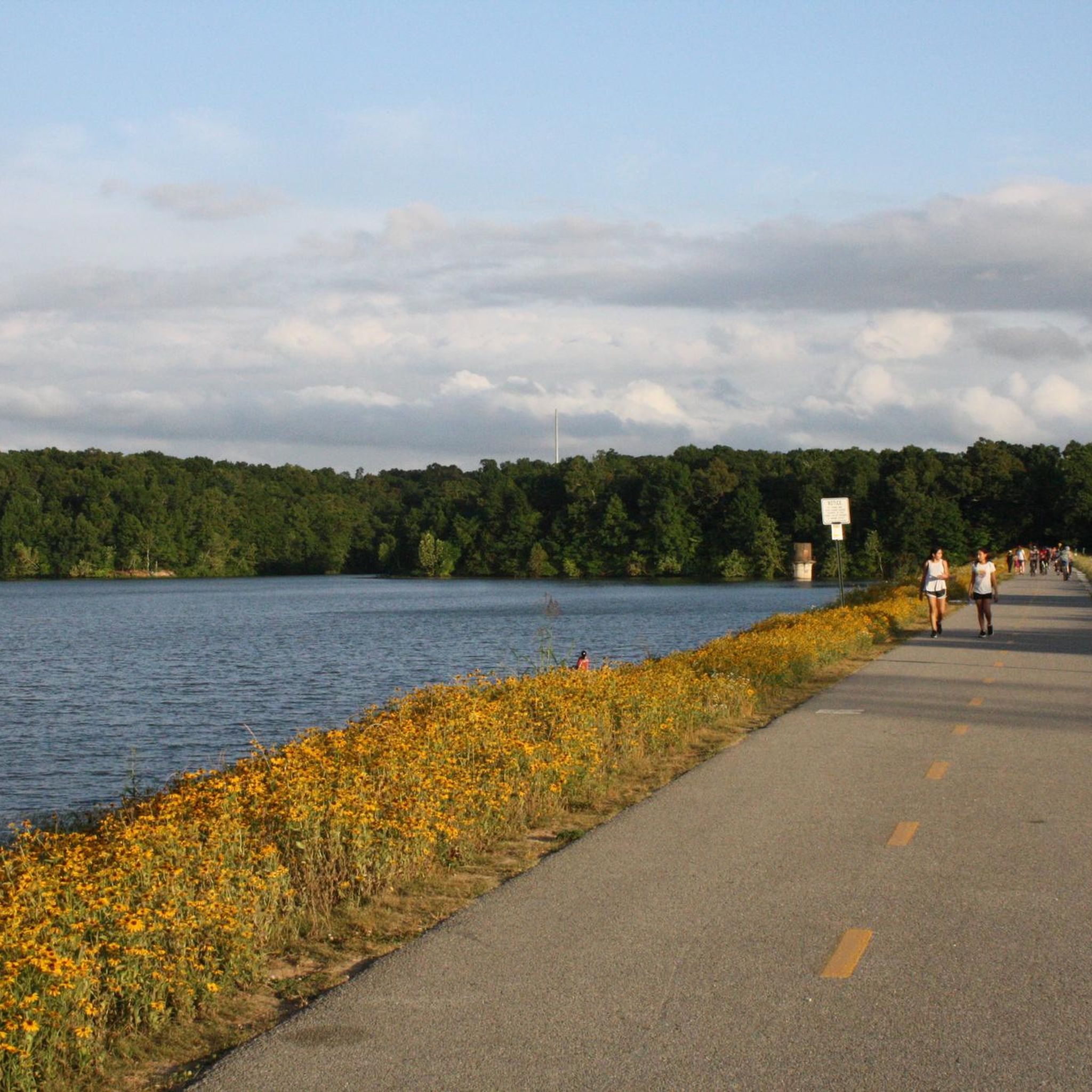
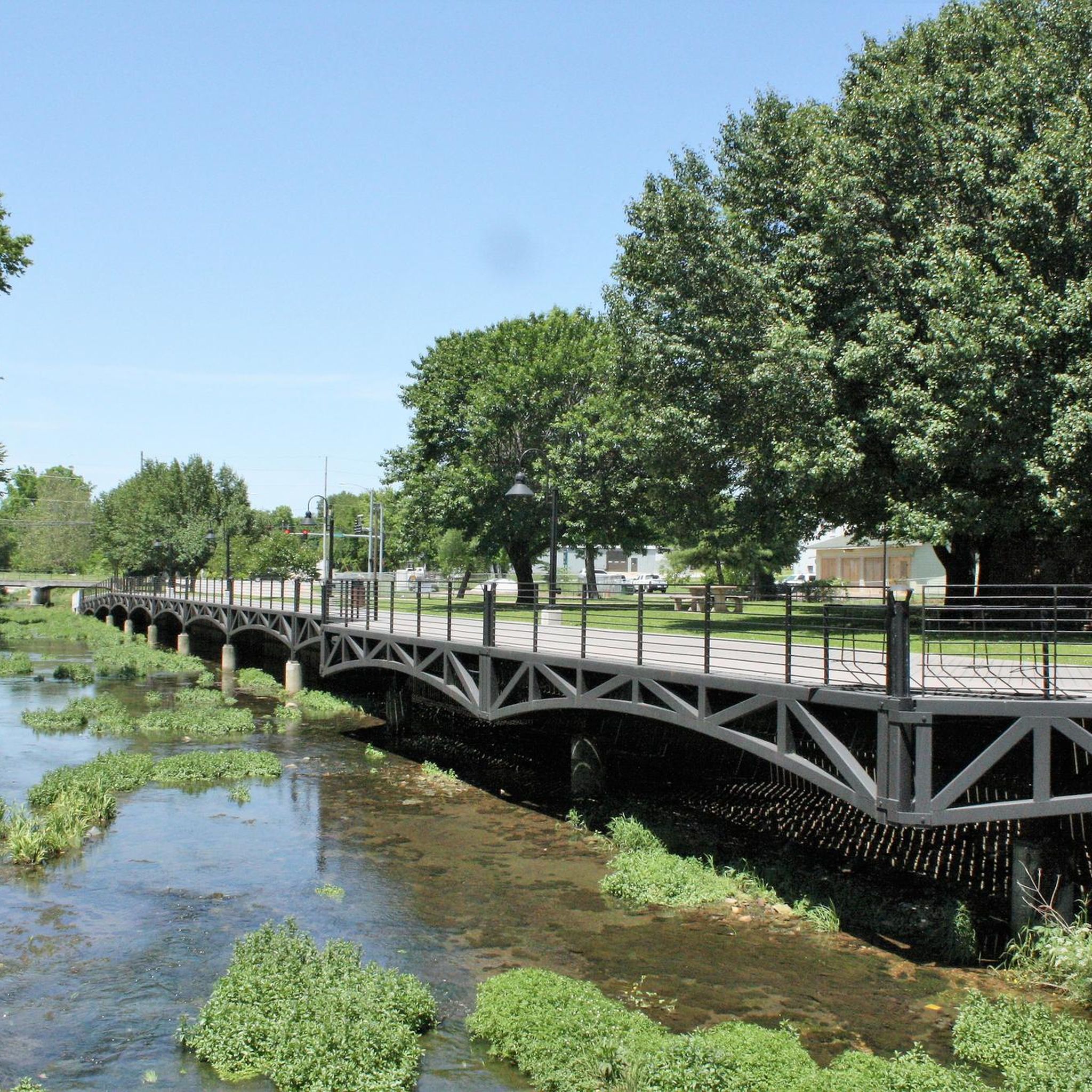
Touring cycling around Springdale offers routes through a landscape characterized by greenways, creek-side paths, and lake trails. The region features gently rolling terrain, making it suitable for various cycling abilities. Many routes incorporate established multi-use paths and boardwalks, providing accessible options for exploring the area.
Best touring cycling routes around Springdale
- The most popular touring cycling route is Clear Creek – Lake Fayetteville Trail loop from Springdale, a 29.7 miles (47.8 km) trail that takes 2 hours 46 minutes…
Last updated: October 25, 2026
4.8
(5)
60
riders
47.8km
02:47
260m
260m
Moderate bike ride. Good fitness required. Mostly paved surfaces.
5.0
(5)
47
riders
29.0km
01:41
140m
140m
Easy bike ride. Mostly paved surfaces.

29
riders
21.1km
01:14
120m
130m
Easy bike ride. Mostly paved surfaces.
5.0
(3)
37
riders
Moderate bike ride. Good fitness required. Mostly paved surfaces.
5.0
(2)
18
riders
Easy bike ride. Mostly paved surfaces.
Get access to more routes and recommendations from other explorers.
Already have an account?
Our route recommendations are based on thousands of hikes, rides, and runs completed by other people on komoot.
Start today with a free account
Your next adventure awaits.

Tips from the Community

It was fun the ride through and see the new Walmart Headquarters Campus.
0
0

Great place to people watch and it's all lit up right now for Christmas
0
0

Rabbit Foot Lodge is one of Arkansas's best examples of Adirondack-style architecture. Built in 1908 and home to J. William Fulbright from 1936 to 1941, the 3,200-square-foot chinked-log structure features pyramidal roofs, wrap-around porches, stained ceiling beams, wooden shutters, and a natural stone fireplace. This charming lodge is on the National Register of Historic Places and part of J. B. Hunt Park.
0
0
The Bentonville City Square is smack dab in the middle of downtown Bentonville. This park is a true city center with nearby access to trails, parks, retail, restaurants, and museums. The park boasts public restrooms, picnic tables, a playground, parking, water fountains, benches, and electrical plugs.
0
0
The Ledger Building is a community workspace in downtown Bentonville. This structure has six stories of exterior switchbacks for bikers and hikers to publicly use to get to the top of the building to overlook the town.
0
0
Horsebarn Trailhead Park has parking, picnic benches, restrooms, a playground, and a few water refill stations. It is just off the Razorback Regional Greenway.
0
0
The Razorback Regional Greenway spans 40 miles and is a popular multi-use trail. It extends from south Fayetteville to Bella Vista. This fully paved, primarily separated trail links numerous communities and other trails together.
0
0
This museum tells the story of Sam Walton and Walmart's history. Visitors can take a guided or self-guided tour any day from 8 a.m. to 9 p.m. There is a shop that serves ice cream and coffee inside.
0
0
Frequently Asked Questions
How many touring cycling routes are available around Springdale?
There are over 10 touring cycling routes in the Springdale area, offering a variety of experiences from easy to moderate difficulty. The region is known for its well-maintained greenways and creek-side paths.
Are there easy touring bike trails suitable for beginners in Springdale?
Yes, Springdale offers several easy touring routes perfect for beginners. The Lake Fayetteville Trail – Boardwalk along Spring Creek loop from NWACC Springdale is an easy 18.6-mile path with varied scenery. Another accessible option is the Boardwalk along Spring Creek – Razorback Regional Greenway loop from NWACC Springdale, a shorter 9.5-mile trail.
What are the typical lengths and durations of touring bike trails in Springdale?
Routes vary in length, from shorter rides like the 9.5-mile Boardwalk along Spring Creek – Razorback Regional Greenway loop from NWACC Springdale (approx. 55 minutes) to longer options such as the 29.7-mile Clear Creek – Lake Fayetteville Trail loop from Springdale, which takes around 2 hours 46 minutes.
Are there any family-friendly touring bike routes in Springdale?
Many of Springdale's routes are suitable for families, especially those utilizing the established multi-use paths and greenways. The Razorback Regional Greenway – Boardwalk along Spring Creek loop from Silent Grove is an easy 8-mile route that offers a pleasant experience for all ages.
What kind of terrain can I expect on Springdale's touring bike routes?
Springdale's touring cycling routes feature gently rolling terrain, primarily along greenways, creek-side paths, and lake trails. Many sections incorporate boardwalks, providing smooth and accessible riding surfaces.
Are there any circular touring bike routes around Springdale?
Yes, many of the touring routes in Springdale are designed as loops, allowing you to start and end at the same point. Examples include the Clear Creek – Lake Fayetteville Trail loop from Springdale and the Boardwalk along Spring Creek – Razorback Regional Greenway loop from Carley & Sunset.
What can I see along the touring cycling routes in Springdale?
Along Springdale's routes, you'll encounter scenic creek paths, expansive lake views, and greenway landscapes. For specific points of interest, consider visiting Bayyari Park or exploring the Coyote Cave Trail, which are nearby attractions.
What do other touring cyclists enjoy most about cycling in Springdale?
The Springdale area is highly rated by the komoot community, with an average score of 4.8 stars. Reviewers often praise the well-maintained greenways, tranquil creek-side paths, and the accessibility of the lake trails, making for enjoyable and scenic rides.
Are there any challenging touring bike routes in Springdale?
While Springdale's routes are generally characterized by gently rolling terrain, some longer options offer a more moderate challenge. The Clear Creek – Lake Fayetteville Trail loop from Springdale, at nearly 30 miles, provides a good workout with some elevation changes.
What is the best season for touring cycling in Springdale?
Springdale offers pleasant cycling conditions through much of the year. Spring and fall generally provide the most comfortable temperatures and vibrant scenery, while summer can be enjoyed early in the morning or late afternoon to avoid peak heat.
Are there places to explore or landmarks near the touring bike trails?
Yes, beyond the trails themselves, you can find several points of interest. The Railyard Bike Park is a notable attraction for cycling enthusiasts, and Giverny Park offers additional recreational facilities.
Is public transport available to reach Springdale trailheads?
While specific public transport connections to every trailhead can vary, Springdale has local transit options. It's advisable to check the local transit authority's website for routes and schedules that may serve areas near the greenways and trail access points.
Where can I find parking for Springdale bike trails?
Many of the major trailheads and parks along the greenways, such as those near Lake Fayetteville or the Razorback Regional Greenway access points, offer dedicated parking facilities. Look for parking areas at local parks or community centers that connect directly to the trail network.
Most popular routes around Springdale
Most popular attractions around Springdale

Get inspired with the komoot mobile app


Explore more
Browse the best Cycling routes in other regions.
