The best walks and hikes around Paupitzscher Lake
4.5
(2393)
10,574
hikers
528
hikes
Hiking trails around Paupitzscher Lake traverse a unique renaturalized post-mining landscape, part of the larger Goitzsche region and Sächsischen Seenland. This area, once an opencast lignite mine, has transformed into a diverse biotope with undisturbed ecological succession. The lake itself is a nature and bird sanctuary, largely closed to the public, but viewing platforms offer insights into the protected areas. The surrounding trails provide opportunities to explore this landscape shaped by industrial history and ecological recovery.
Best hiking trails around…
Last updated: September 29, 2026
4.5
(34)
95
hikers
Moderate hike. Good fitness required. Easily-accessible paths. Suitable for all skill levels.
4.1
(18)
91
hikers
4.25km
01:05
20m
20m
Easy hike. Great for any fitness level. Easily-accessible paths. Suitable for all skill levels.

4.6
(14)
35
hikers
Moderate hike. Good fitness required. Easily-accessible paths. Suitable for all skill levels.
5.0
(1)
6
hikers
3.72km
00:58
20m
20m
Easy hike. Great for any fitness level. Easily-accessible paths. Suitable for all skill levels.
5.0
(1)
6
hikers
Moderate hike. Good fitness required. Easily-accessible paths. Suitable for all skill levels.
Get access to more routes and recommendations from other explorers.
Already have an account?
Our route recommendations are based on thousands of hikes, rides, and runs completed by other people on komoot.
Start today with a free account
Your next adventure awaits.
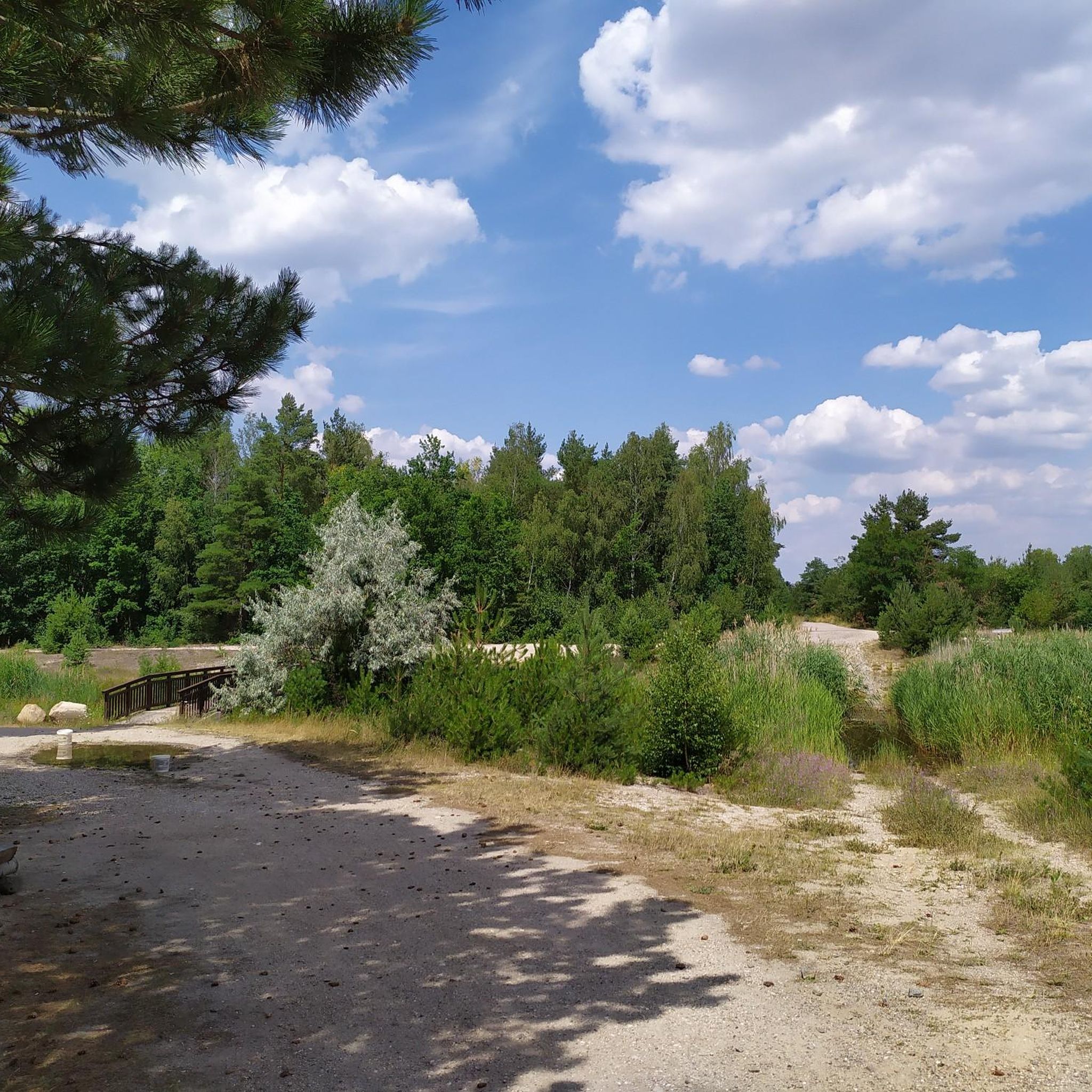
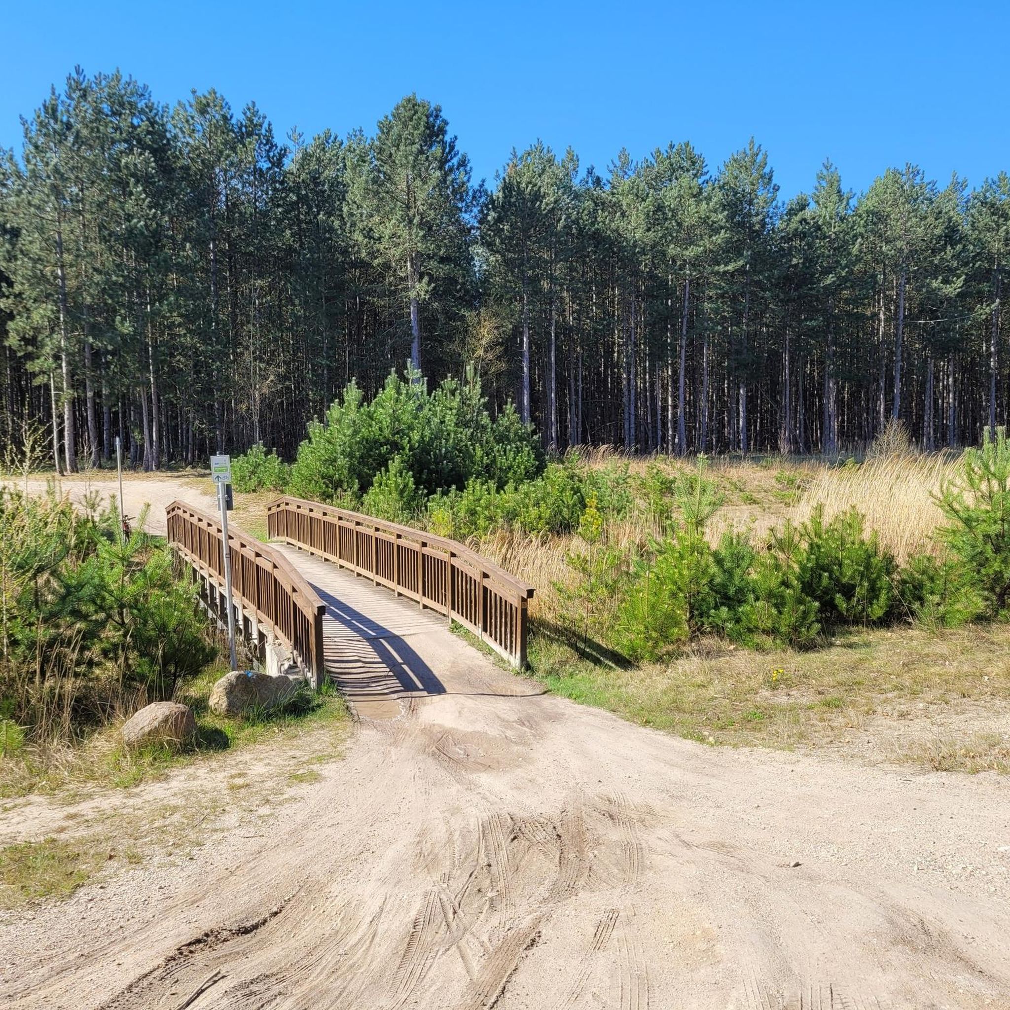
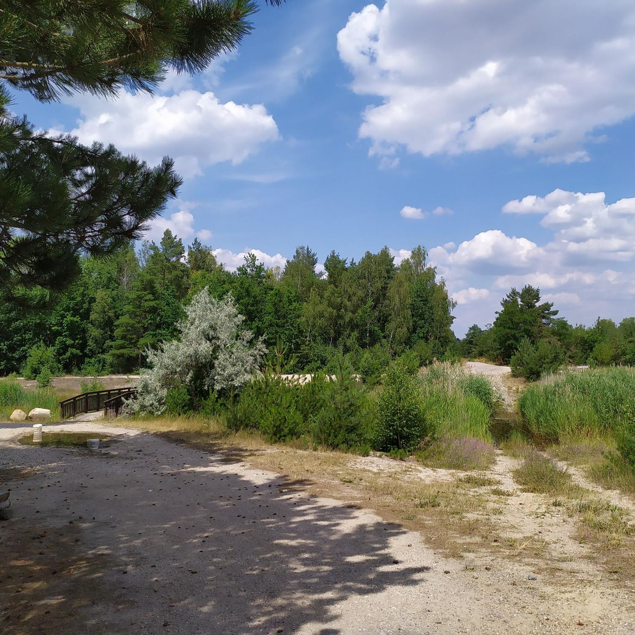
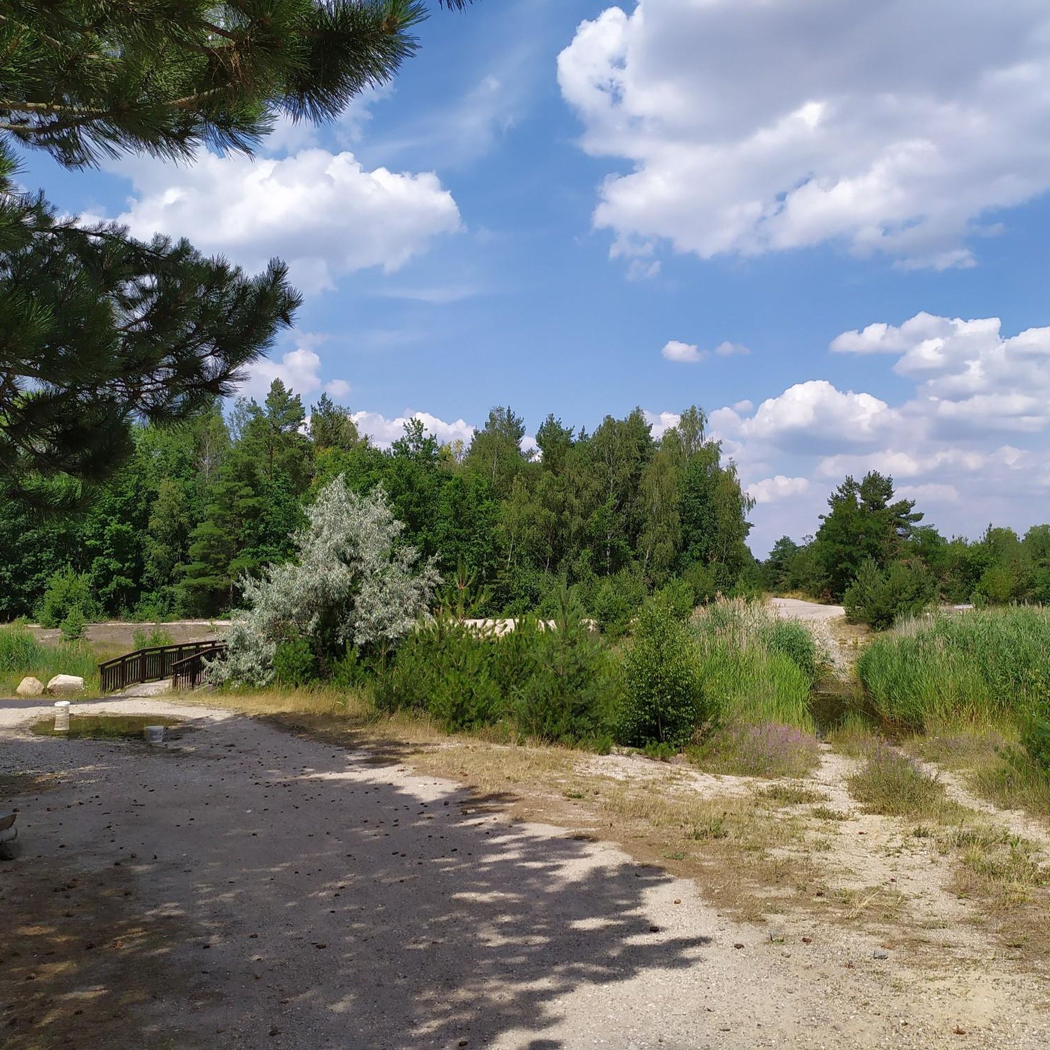
Tips from the Community

Today, an developed network of cycle paths and hiking trails with viewing platforms and information boards on the formation of the landscape extends along the Neuhäuser See. The 120 km long Kohle-Dampf-Licht cycle path from Lutherstadt Wittenberg to Markkleeberg passes by the lake. Source https://de.wikipedia.org/wiki/Neuh%C3%A4user_See
1
0
In the mid-19th century, the first mining activities began in the southwest of Goitzsche, near the villages of Petersroda and Holzweißig.[3] Following the lignite seam, mining progressed from west to east. Favored by the opening of the current Magdeburg–Leipzig and Trebnitz–Leipzig railway lines, the sales market for lignite expanded to Halle and Leipzig, among other places. The increased demand for electrical energy and fossil fuels in the 19th and 20th centuries led in 1908 to the opening of the Leopold open-cast mine (from 1945 to 1962 Holzweißig–Ost) and in 1958 to the creation of the Holzweißig-West open-cast mine.[3] The Neuhäuser See originated from the former Holzweißig-West lignite open-cast mine. It is named after the Neuhaus estate, which was demolished in 1976 along with the village of Paupitzsch. The Holzweißig-West open-cast mine was operated from 1958 to 1980. Other sources report usage until 1991. The lake was flooded from 1993 to 2005.[1] Overflowing water is channeled via the Goitzsche into the Mulde. Since 1997, the area has been renatured and stable embankments have been created. Source https://de.wikipedia.org/wiki/Neuh%C3%A4user_See
1
0
The Neuhäuser See is located on the northwestern border of the Free State of Saxony with Saxony-Anhalt, at an altitude of about 78 m above sea level. NN. South of the lake is Benndorf, a district of the North Saxon district town of Delitzsch, and to the north is the unified municipality of Bitterfeld-Wolfen in Saxony-Anhalt. It is located in the Central German Lake District, south of the Großer Goitzschesee and the waters Ludwigsee and Paupitzscher See. Quelle https://de.wikipedia.org/wiki/Neuh%C3%A4user_See
1
0
The Neuhäuser See (also Neuhauser See) is an opencast mine residual lake of approximately 155 hectares, which was created by flooding the former Holzweißig-West opencast mine. The lake is located in the Central German Lake District, south of the Goitzsche nature reserve and north of the town of Delitzsch. Source https://de.wikipedia.org/wiki/Neuh%C3%A4user_See
1
0
Definitely worth seeing
1
0
Lake Ludwig near Holzweißig (Saxony-Anhalt) is an idyllic natural bathing lake that originated from a former open-cast lignite mine in Holzweißig-West. It offers a popular sandy beach with a designated swimming area, good water quality, and is a peaceful destination for hikers and cyclists near Bitterfeld.
2
0
Definitely worth seeing
1
0
Frequently Asked Questions
How many hiking trails are available around Paupitzscher Lake?
There are over 540 hiking trails around Paupitzscher Lake, offering a wide range of options for different skill levels and preferences. This includes 381 easy routes, 153 moderate routes, and 14 difficult routes.
What kind of terrain can I expect when hiking around Paupitzscher Lake?
The terrain around Paupitzscher Lake is characterized by its unique renaturalized post-mining landscape. You'll find natural paths through areas that were once an opencast lignite mine, now transformed into a diverse biotope. The trails often offer views of the lake and the broader Goitzsche wilderness, with varying difficulty levels from easy to moderate.
Are there any circular walks around Paupitzscher Lake?
Yes, many of the trails around Paupitzscher Lake are circular routes. For example, the View of Lake Goitzsche – Guardians of the Goitzsche loop from Benndorf is a popular 18.8 km loop, and the View of Neuhäuser See – View of Neuhauser See loop from Benndorf offers an easier 4.2 km circular path.
What do other hikers enjoy about the trails around Paupitzscher Lake?
The trails around Paupitzscher Lake are highly rated by the komoot community, with an average score of 4.5 stars from over 2000 reviews. Hikers often praise the unique landscape, the tranquility of the nature reserve, and the opportunity to observe the ecological recovery of the area.
Are the hiking trails around Paupitzscher Lake suitable for families with children?
Yes, there are many family-friendly hiking options around Paupitzscher Lake. With over 380 easy routes, you can find paths suitable for all ages and fitness levels. The View of Neuhauser See – View of Neuhäuser See loop from Benndorf, for instance, is an easy 3.8 km route that families might enjoy.
Can I bring my dog on the hiking trails around Paupitzscher Lake?
Many trails in the broader Goitzsche region are dog-friendly, allowing you to explore the unique landscape with your canine companion. However, as Paupitzscher Lake itself is a nature and bird sanctuary, it's important to keep dogs on a leash and respect any specific signage regarding protected areas to minimize disturbance to wildlife.
Where can I find viewpoints to see Paupitzscher Lake?
While direct access to the entire shoreline of Paupitzscher Lake is restricted due to its nature reserve status, two dedicated viewing platforms provide excellent insights into the protected areas of the lake. These platforms allow hikers to appreciate the ongoing renaturation and observe wildlife without disturbance.
Is there parking available for hikers near Paupitzscher Lake?
Parking facilities are generally available in the vicinity of the Goitzsche region and near popular trailheads. It is advisable to check specific starting points for routes on komoot for detailed parking information.
What is the best time to visit Paupitzscher Lake for hiking?
Paupitzscher Lake offers a unique hiking experience throughout the year. Spring and autumn provide pleasant temperatures and vibrant natural colors, while summer allows for longer days. Even in winter, the transformed landscape can offer a serene and distinct atmosphere for hiking.
What makes the landscape around Paupitzscher Lake unique for hikers?
The landscape is unique due to its origin as a former lignite opencast mine that has undergone remarkable renaturation. It's now a nationally significant Fauna-Flora-Habitat and nature reserve, showcasing undisturbed ecological succession. Hikers can experience a dynamic environment where industrial history meets ecological recovery, offering a sanctuary for rare species.
Are there any easy hiking options for beginners around Paupitzscher Lake?
Absolutely. Paupitzscher Lake offers a significant number of easy routes, with over 380 trails categorized as easy. An excellent option for beginners is the View of Neuhäuser See – View of Neuhauser See loop from Benndorf, an easy 4.2 km path that provides scenic views without significant elevation changes.
What are the typical distances and durations for hikes in this area?
Hiking routes around Paupitzscher Lake vary widely in distance and duration. You can find short, easy walks like the 4.2 km View of Neuhäuser See – View of Neuhauser See loop from Benndorf, which takes about an hour. Longer, moderate trails, such as the Guardians of the Goitzsche – View of Neuhäuser See loop from Benndorf, cover about 15.1 km and can take around 3 hours 50 minutes.
Most popular routes around Paupitzscher Lake

Get inspired with the komoot mobile app


Explore more
Browse the best Hikes in other regions.
