The best road cycling routes around Olbasee
4.5
(34)
496
riders
52
rides
Road cycling routes around Olbasee traverse a landscape shaped by both natural processes and historical events, including a former lignite mining site now forming the lake itself. The region is part of the Upper Lusatian Heath and Pond Landscape, characterized by a mosaic of ponds, moors, heaths, and dunes. This area offers diverse cycling options, from predominantly paved paths suitable for various fitness levels to routes that may include unpaved sections. The terrain generally features gentle gradients across a protected…
Last updated: September 29, 2026
18
riders
Moderate road ride. Good fitness required. Some segments of this route may be unpaved and difficult to ride.
7
riders
37.8km
01:40
150m
150m
Moderate road ride. Great for any fitness level. Some segments of this route may be unpaved and difficult to ride.

3
riders
70.2km
02:50
240m
240m
Moderate road ride. Good fitness required. Some segments of this route may be unpaved and difficult to ride.
4
riders
Moderate road ride. Good fitness required. Mostly well-paved surfaces and easy to ride.
3
riders
49.0km
01:59
170m
170m
Easy road ride. Great for any fitness level. Mostly well-paved surfaces and easy to ride.
Get access to more routes and recommendations from other explorers.
Already have an account?
Our route recommendations are based on thousands of hikes, rides, and runs completed by other people on komoot.
Start today with a free account
Your next adventure awaits.
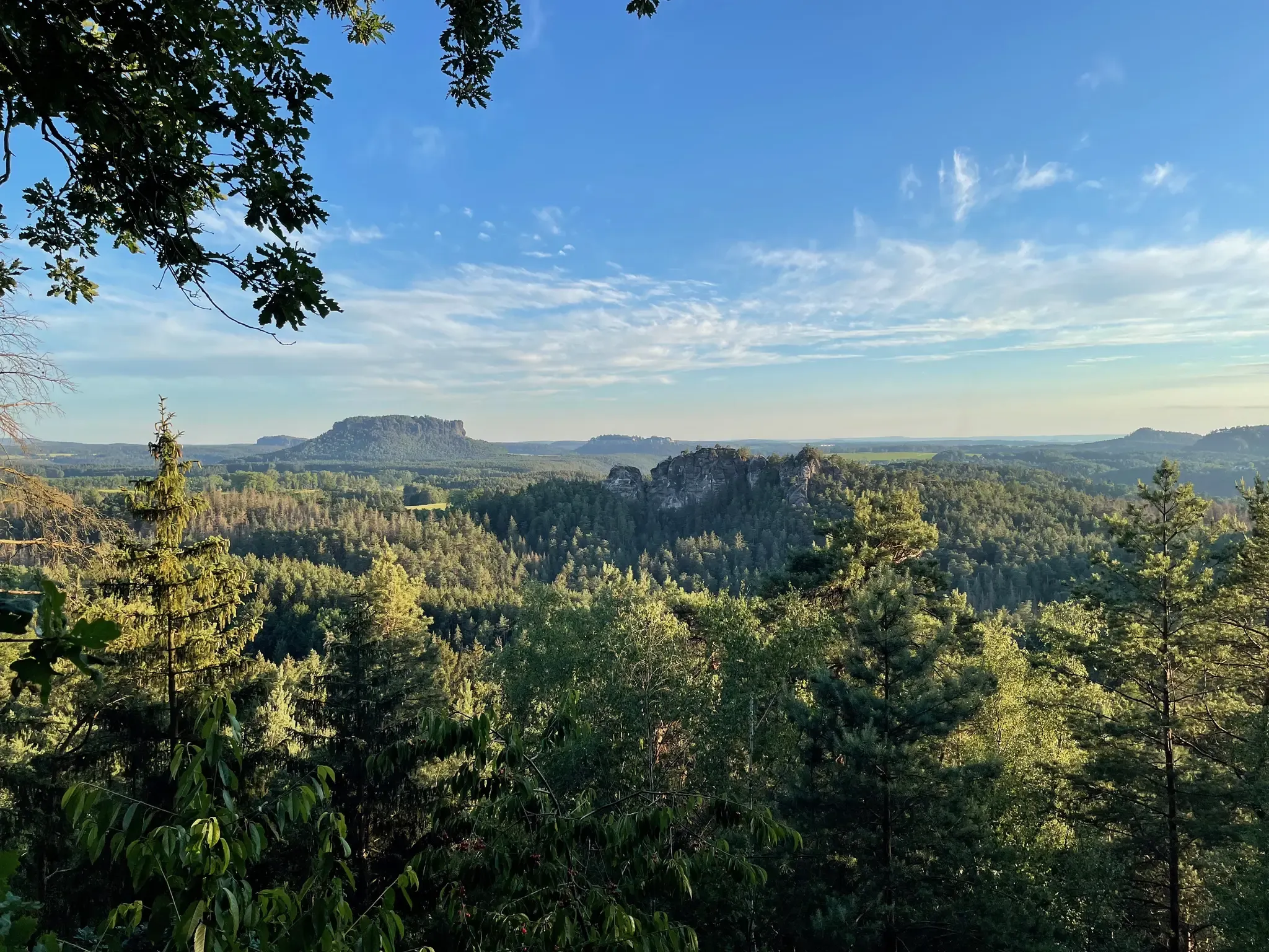
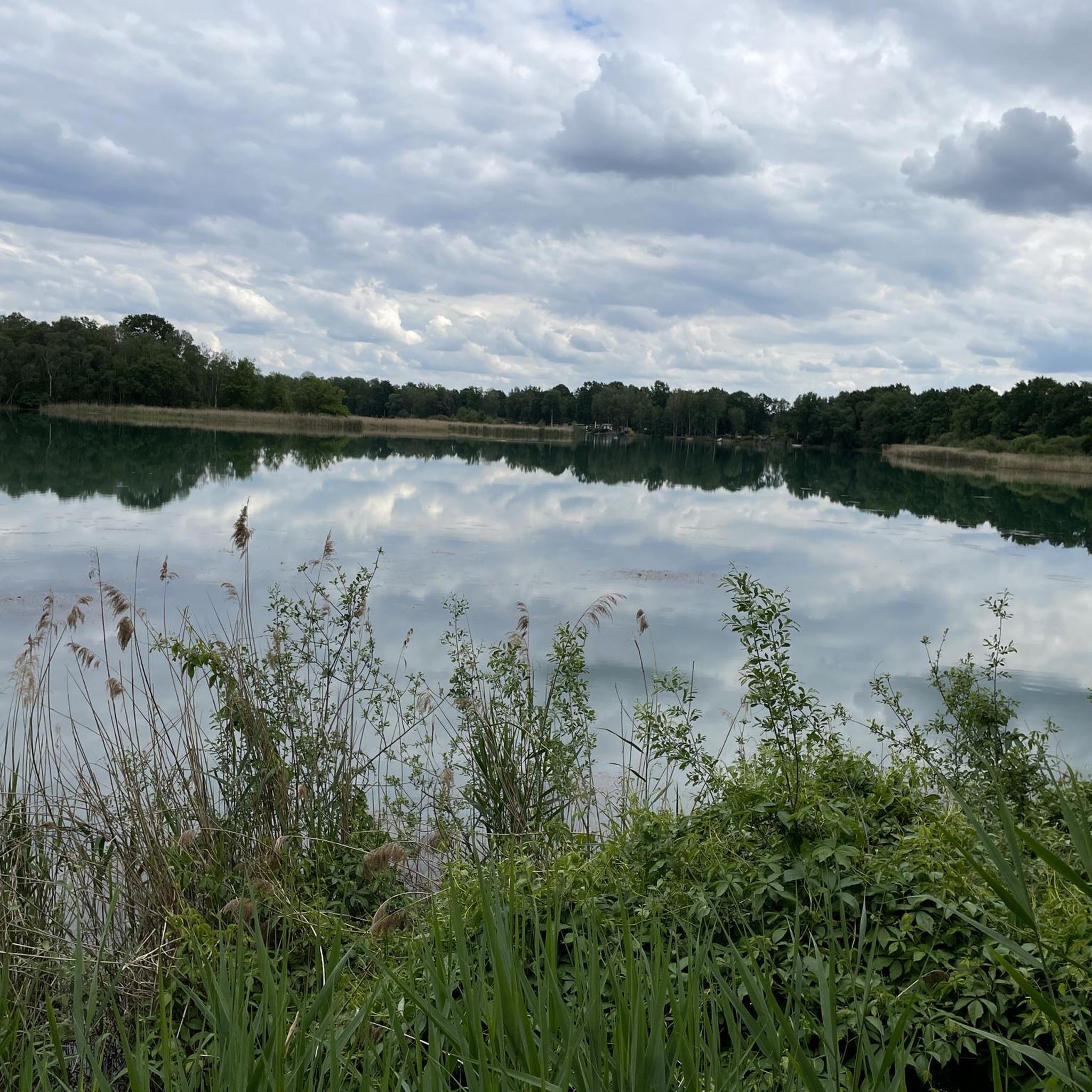
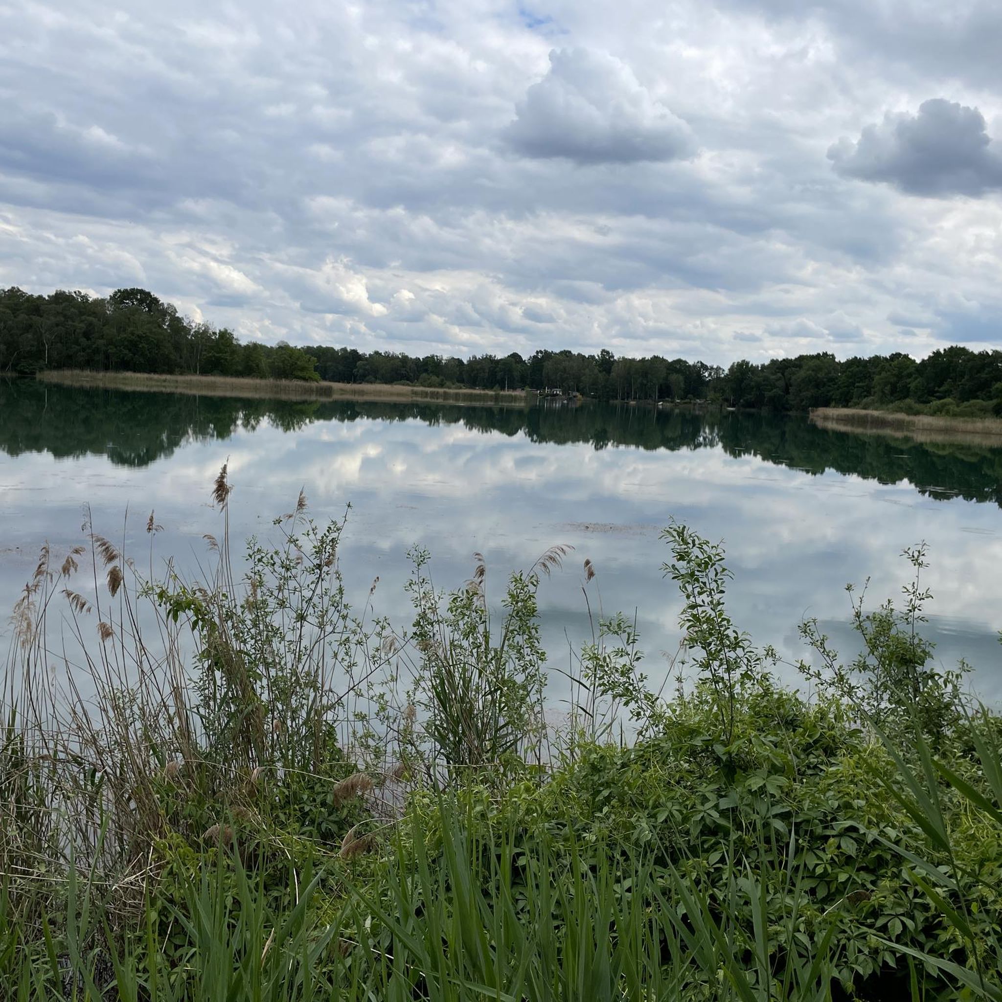
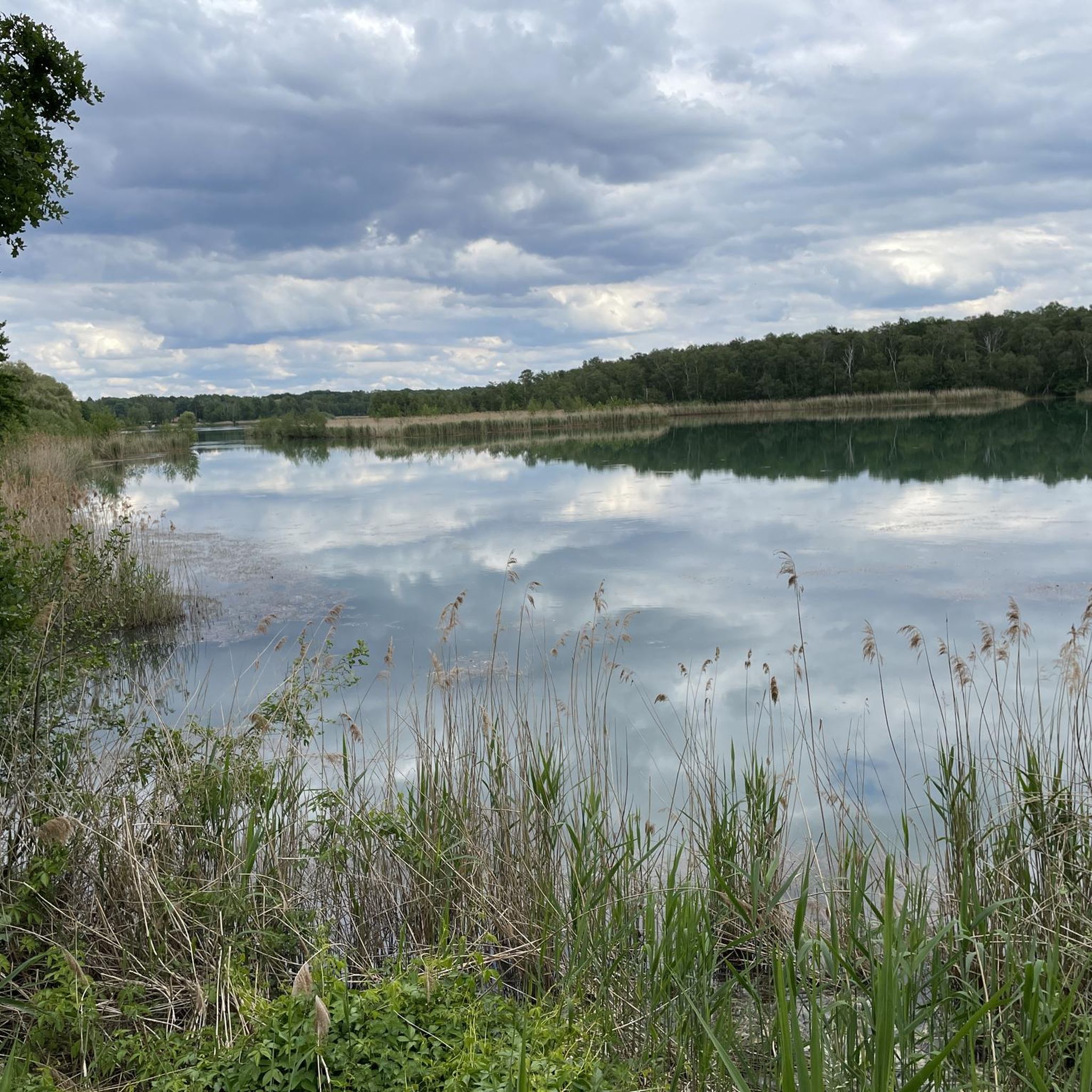

Other adventures around Olbasee

Tips from the Community

It's a great place for hiking. The Seeperle restaurant is a good place to stop for a snack.
0
0

It's a lovely shelter for cyclists. You simply have to have a little picnic here!
1
0
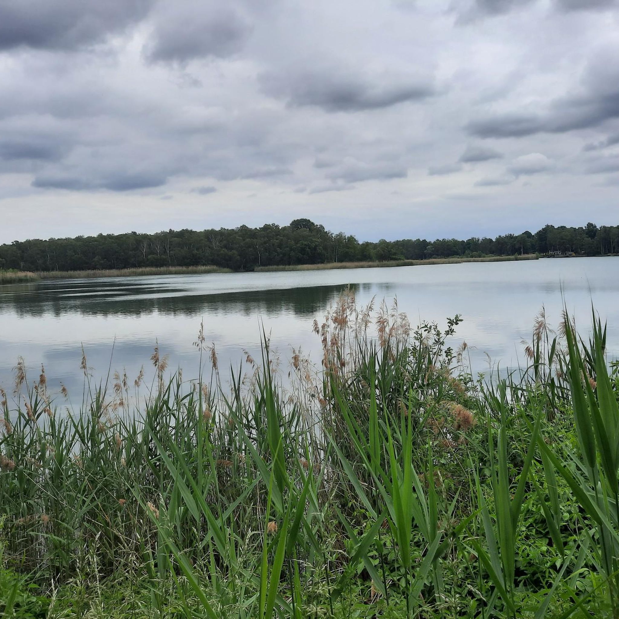
It is a beautiful view of the lake.
0
0

Church in Rietschen. Always recommended for a short tour.
0
0

Very clean, inviting, also ideal for cyclists.
1
0

The UNESCO Biosphere Reserve Upper Lusatian Heath and Pond Landscape is located in eastern Saxony. The 300-square-kilometer area is the largest contiguous pond area in Germany. Ponds, moors, heaths, and dunes provide a protected habitat for endangered animal and plant species. At the House of a Thousand Ponds in Malschwitz, you can learn fascinating facts about the region and its unique natural environment. Further information: https://nationale-naturlandschaften.de/gebiete/biosphaerenreservat-oberlausitzer-heide-und-teichlandschaft
2
0
The church was consecrated in 1916. The Rietschen church is a plastered building with a broad, east-facing west tower. The six-story tower has three sound openings on the west and east sides in the bell storey, and two sound openings on the north and south sides. The tower is topped by the beginning of a pyramidal roof with a copper-plated top with a lantern and onion dome. To the north of the tower is the single-story sacristy with a hipped roof and a round-arched entrance portal. On the south wall of the tower is a vestibule with an adjoining stair tower, which also has a round-arched portal. The nave has tall round-arched windows, with an entrance below the central window on the north side. A wooden porch with a hipped roof and a bat-shaped dormer is attached to the east wall, and in the center of the wall is the round-arched entrance to a vestibule. The nave is covered with a gable roof, at the end of which is an octagonal turret.
0
0

Frequently Asked Questions
What kind of fitness level is required for road cycling around Olbasee?
The Olbasee region offers a variety of road cycling routes catering to different fitness levels. You'll find many easy tours on predominantly paved paths, suitable for all abilities. There are also moderate routes, and a few more challenging options that might include unpaved sections or require good to very good fitness. Overall, the terrain generally features gentle gradients.
Are there any family-friendly road cycling routes near Olbasee?
Yes, the area around Olbasee is well-suited for family cycling, with many routes featuring predominantly paved paths and gentle gradients. These easy tours are ideal for families looking to enjoy the scenic landscape together. While specific 'family-friendly' routes aren't explicitly tagged, the abundance of easy routes makes it a great choice.
What natural features and landmarks can I expect to see while road cycling around Olbasee?
Road cycling around Olbasee offers views of a unique landscape, part of Germany's largest continuous pond area. You can expect to see the Olbasee itself, a former lignite mining site, and the broader Upper Lusatian Heath and Pond Landscape with its mosaic of ponds, moors, and dunes. Notable landmarks include the Replica of Radisch Fort on Olbasee Island, and the historic Wendischer Turm, which you can pass on routes like the Raderei Bicycle Shop – Wendischer Turm (Wends' Tower) loop.
Can I find circular road cycling routes around Olbasee?
Yes, many road cycling routes around Olbasee are designed as loops, allowing you to start and end at the same point. For example, the popular Bärwalder See – View of Bärwalder Lake loop and the Olbasee – Bärwalder See loop are excellent circular options that showcase the region's diverse scenery.
What are the parking options for cyclists near the Olbasee road cycling routes?
While specific parking locations aren't detailed, the region is well-equipped for cyclists. Many routes start from towns or villages that typically offer public parking. Given the presence of covered rest areas with e-bike charging stations, it's reasonable to expect convenient parking facilities near popular starting points for cycling tours around Olbasee.
Are there any cafes or places to stop for refreshments along the road cycling routes?
The Olbasee region, being a popular outdoor destination, has various amenities. While specific cafes on every route are not listed, you can often find places for refreshments in the villages and towns you pass through. Additionally, there are covered rest areas equipped with e-bike charging stations and USB ports, providing convenient spots to take a break.
What is the best time of year for road cycling around Olbasee?
The Upper Lusatian Heath and Pond Landscape, including Olbasee, is beautiful throughout the warmer months. Spring and autumn offer pleasant temperatures and vibrant scenery, making them ideal for road cycling. Summer is also suitable, though it can be warmer. The region's diverse natural features are enjoyable across these seasons.
What do other road cyclists enjoy the most about road cycling in Olbasee?
The road cycling routes around Olbasee are highly rated by the komoot community, with an average score of 4.4 stars from over 30 reviews. Cyclists often praise the diverse terrain, which includes a unique mosaic of ponds, moors, heaths, and former mining areas, offering varied and scenic rides for all abilities.
How many road cycling routes are available around Olbasee?
There are over 50 road cycling routes available around Olbasee on komoot. These routes cater to various preferences, ranging from easy rides on predominantly paved paths to more challenging options that might include unpaved sections.
Are there any specific attractions or points of interest related to the region's history or nature?
Absolutely. The region is rich in natural and historical significance. You can visit the House of a Thousand Ponds in Malschwitz for insights into the unique natural environment. The Olbasee itself is a former lignite mining site with an intriguing origin. You can also find an Information Board about the lake's transformation 'From Mining Pit to Bathing Lake'.
Can I combine road cycling with other activities like swimming or nature observation?
Yes, the Olbasee area is perfect for combining road cycling with other outdoor activities. Olbasee features a swimming area and a large sunbathing lawn, ideal for relaxing after a ride. For nature observation, you can visit the Observation Tower at Wochusteich or the White-Tailed Eagle Information Board at Sumperteich.
Are there any particularly scenic routes that offer views of the larger lakes in the area?
Yes, several routes offer expansive views of the larger lakes. The Bärwalder See – View of Bärwalder Lake loop is a popular choice, providing stunning vistas of Bärwalder Lake, Germany's largest artificial lake. Another excellent option is the Olbasee – Bärwalder See loop, which also connects these two significant bodies of water.
Most popular routes around Olbasee
Most popular attractions around Olbasee

Get inspired with the komoot mobile app


Explore more
Browse the best Road cycling routes in other regions.
