The best walks and hikes around Bornhöveder Lake
4.5
(2646)
8,621
hikers
368
hikes
Hiking around Bornhöveder Lake offers routes through a landscape shaped by glacial activity, featuring rolling hills, woodlands, and interconnected lakes. The region is characterized by small forest areas, agricultural fields bordered by hedgerows, and the Old Schwentine river, which flows through the lake. This varied terrain provides a diverse environment for outdoor activities, with numerous trails exploring the lake chain and surrounding natural areas.
Best hiking trails around Bornhöveder Lake
- The most popular hiking route is Schwentine source area – Plöner Chaussee Loop Trail loop from Bornhöved, a 1.5 miles (2.4 km) trail that takes about 37 minutes to complete, exploring the source of the Old Schwentine river.
- Another top favourite among local hikers is Fish ponds at Dieksee – Kattholz Oak loop from Bornhöved, a moderate 9.7 miles (15.6 km) path. This route traverses varied terrain including woodlands and agricultural fields.
- Local hikers also love the Bathing area at Schierensee loop from Ruhwinkel, a 3.3 miles (5.3 km) trail leading through forested areas and past the lake, often completed in about 1 hour 23 minutes.
- Hiking around Bornhöveder Lake is defined by interconnected lakes, glacial hills, and diverse woodlands. The network offers options for different ability levels, from easy walks to moderate day hikes.
- The routes in Bornhöveder Lake are highly rated by the komoot community with an average score of 4.5 stars from over 2,100 reviews. More than 8,100 hikers have used komoot to explore Bornhöveder Lake's varied terrain.
Last updated: October 8, 2026
4.7
(7)
34
hikers
Easy hike. Great for any fitness level. Easily-accessible paths. Suitable for all skill levels.
4.7
(59)
141
hikers
15.5km
04:02
90m
90m
Moderate hike. Good fitness required. Easily-accessible paths. Suitable for all skill levels.

4.7
(27)
111
hikers
9.19km
02:23
60m
60m
Moderate hike. Good fitness required. Easily-accessible paths. Suitable for all skill levels.
4.4
(5)
27
hikers
Easy hike. Great for any fitness level. Easily-accessible paths. Suitable for all skill levels.
4.5
(4)
19
hikers
Easy hike. Great for any fitness level. Easily-accessible paths. Suitable for all skill levels.
Get access to more routes and recommendations from other explorers.
Already have an account?
Our route recommendations are based on thousands of hikes, rides, and runs completed by other people on komoot.
Start today with a free account
Your next adventure awaits.
Tips from the Community

Who was Vicelin? Vicelin (c. 1086–1154) was a Christian missionary and later Bishop of Oldenburg in Holstein. He is considered the "Apostle of the Wagrians and Holsteins" because he evangelized the Slavic and Saxon populations of present-day Schleswig-Holstein in the 12th century.
2
0
Today's Significance With its 40-meter-high tower, the Vicelin Church is visible from afar and remains the spiritual center of the community today. Modern stained-glass windows, a richly decorated interior, and the park-like church grounds make it a cultural and spiritual attraction.
2
0
Historical Origins St. James's Church in Bornhöved was consecrated in 1149 by Bishop Vicelin in the Romanesque style and has dominated the town center ever since. Archaeological finds even indicate a predecessor chapel dating back to around 980, making it one of the oldest religious buildings in the region.
2
0
The chapel and cemetery belong to the Vicelin Church in Neumünster. Vicelin played a significant role there: in 1127, he founded the "Novum Monasterium" (New Münster) monastery in Neumünster and from there carried out missionary work in Holstein and Wagria.
2
0
The bench is in the shade and offers a view over the fields. Far in the distance is the former mill.
1
0
The glassworks and brickworks in Ruhwinkel consumed vast quantities of wood until the 19th century, creating large open spaces that were later sustainably reforested by Holten Fürchtegott and Magdalene von Trepka. Today, these forests serve both forestry and nature conservation, providing habitat for animals and plants, and continue to provide important data for environmental and climate research.
2
0
A wooden cross, approximately 3 meters tall, stands here on a raised meadow near Vierer Weg. From here, you have a wonderful view over Lake Schmalensee.
3
0
Information board: "To distract themselves from the arduousness of the walk, there was a lot of singing, storytelling, and teasing along the way. For the children and young people, the walk was a part of their leisure time, because once they got home, they were firmly integrated into the family's daily routine and work routine. These footpaths were chosen so that they could be used in all seasons; without leaving too many marks on shoes and clothes. These had to be cared for at all times, as funds for new clothing were limited. While routes 1, 2, and 3 primarily took children to the Lütt and Grootschools, route 4 takes a shortcut towards Altekoppel and the swimming area. The narrow path no. 6 on the back of the Vierer Berg shortened the route via the "Stech" to Belau or the former Schönböken train station."
2
0
Frequently Asked Questions
How many hiking trails are available around Bornhöveder Lake?
There are over 350 hiking routes around Bornhöveder Lake, offering a wide range of options for different skill levels and preferences. More than 250 of these are rated as easy.
Are there easy trails suitable for beginners or families with children?
Yes, Bornhöveder Lake offers many easy trails perfect for beginners and families. For instance, the Bathing area at Schierensee loop from Ruhwinkel is an easy 3.3-mile (5.3 km) trail that leads through forested areas and past the lake, typically completed in about 1 hour 23 minutes. Another accessible option is the Schwentine source area – Plöner Chaussee Loop Trail loop from Bornhöved, which is 1.5 miles (2.4 km) long and explores the source of the Old Schwentine river.
What kind of landscapes can I expect to see while hiking around Bornhöveder Lake?
The landscape around Bornhöveder Lake is shaped by its glacial origins, featuring rolling hills, small forest areas, and agricultural fields bordered by traditional hedgerows (Knicks). You'll experience a diverse environment with numerous interconnected lakes, including Bornhöveder Lake itself, and the Old Schwentine river flowing through the area.
Are there circular hiking routes available?
Yes, circular routes are a popular way to explore the area. A well-known option is the approximately 8 km long circular trail that encompasses both Bornhöveder Lake and the adjacent Schmalensee, which takes about 1.5 hours to complete. You can also find routes like the Bornhöved Chapel and Cemetery – Schwentine source area loop from Bornhöved, an easy 4.6 km circular hike.
Can I bring my dog on the hiking trails?
Many trails around Bornhöveder Lake are suitable for dogs, allowing you to enjoy the natural beauty with your canine companion. It's always recommended to keep dogs on a leash, especially in nature conservation areas, to protect local wildlife and ensure a pleasant experience for all hikers.
What natural features or wildlife might I encounter?
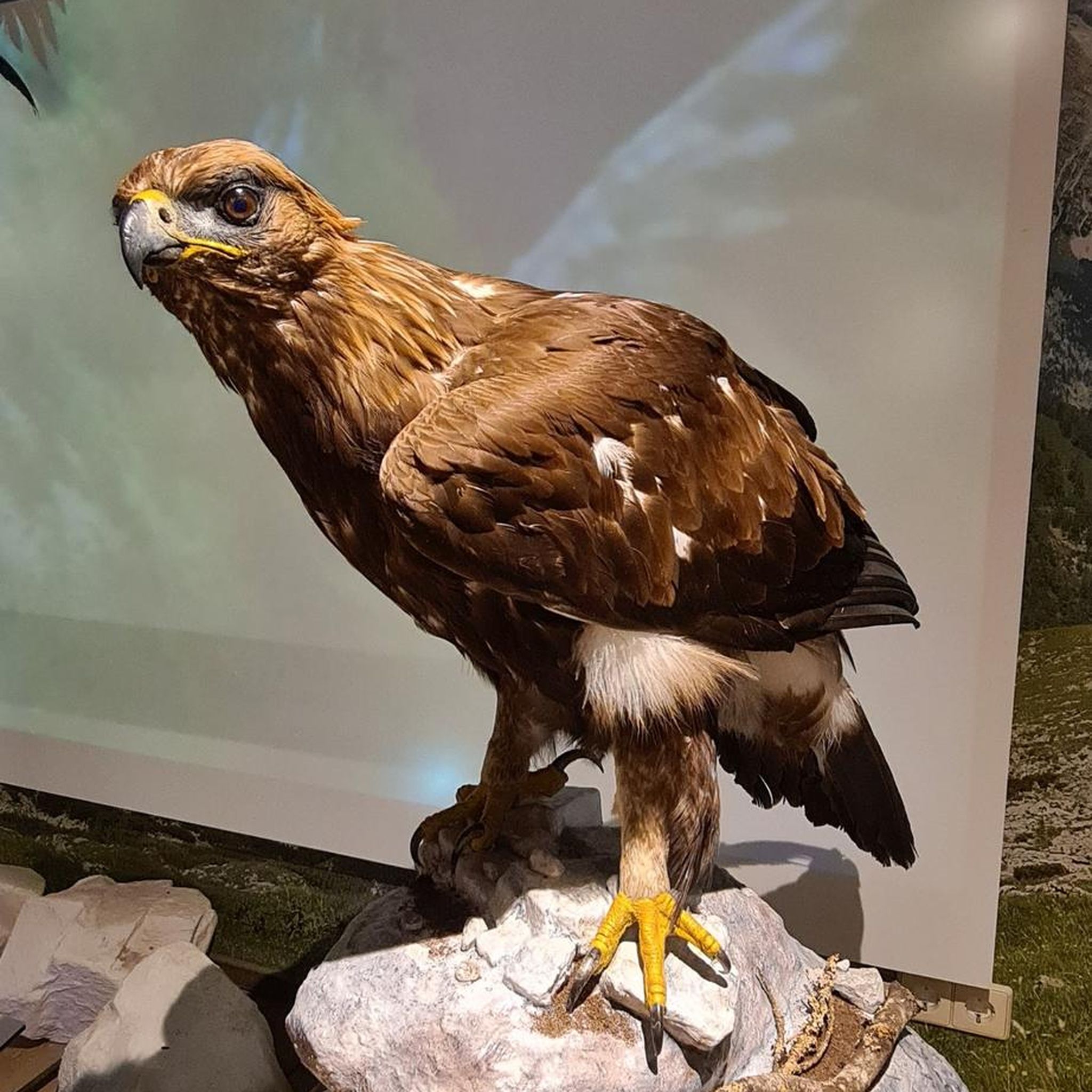
The region is rich in biodiversity. You might spot various bird species such as kingfishers, eagles, herons, and cormorants. The area is also home to ringed snakes, trout, carp, different frog and toad species, dragonflies, and bats. The source of the Old Schwentine river, a historically significant waterway, is also a unique natural attraction you can explore.
Are there places to swim or relax by the water after a hike?
Yes, Bornhöveder Lake offers several spots for relaxation and swimming. The western shore features a bathing area along Seeweg, and the southern shore has a public bathing area with a wide beach, a pier, a diving platform, and a playground, complete with sanitary facilities.
What are some interesting places to explore near the hiking trails?
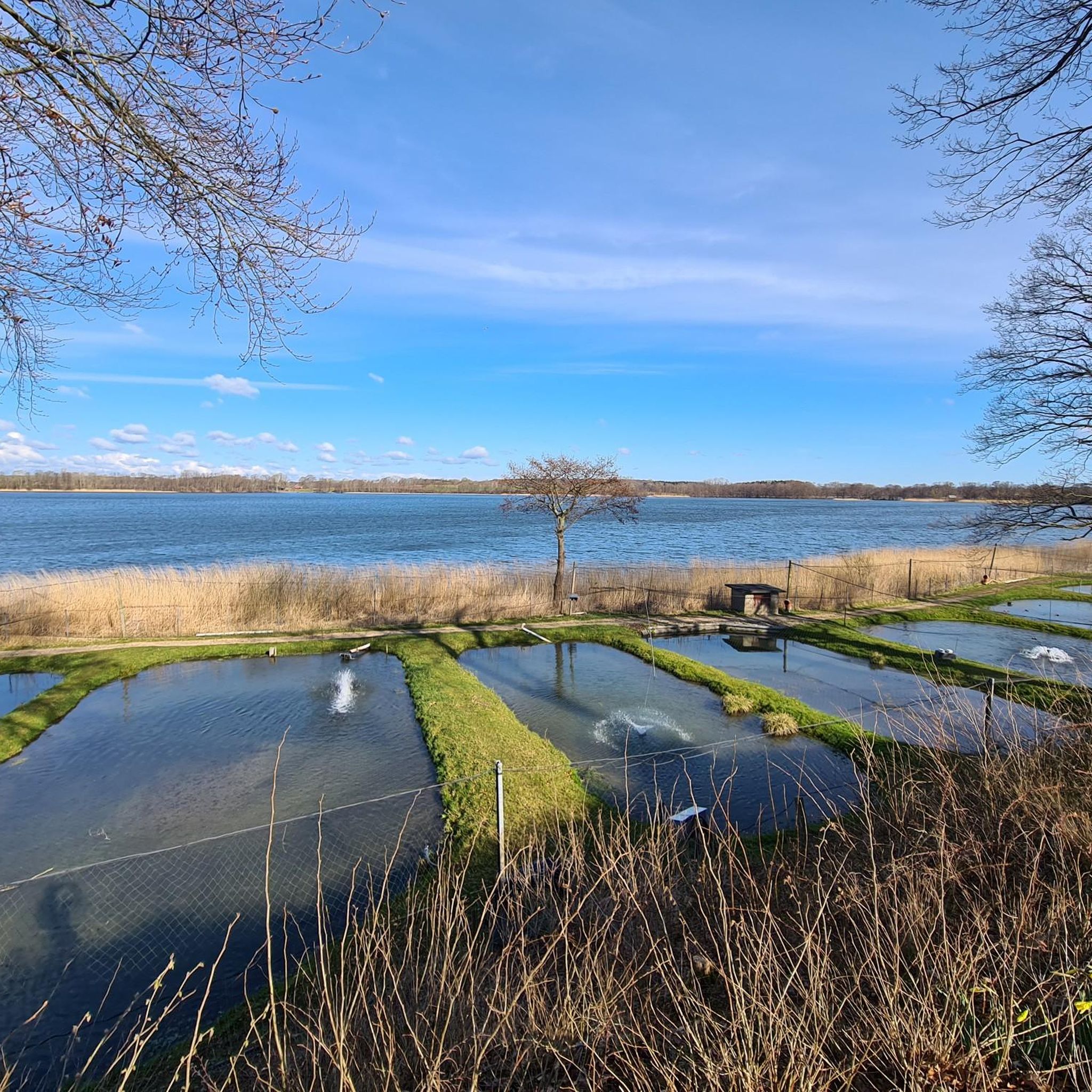
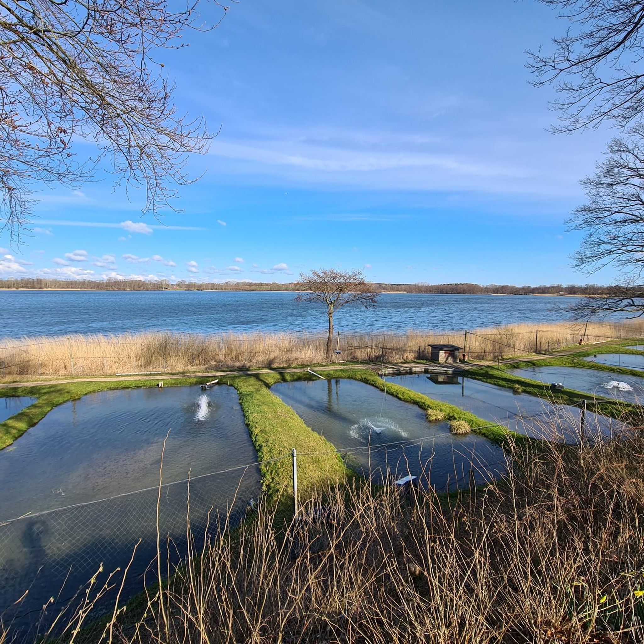
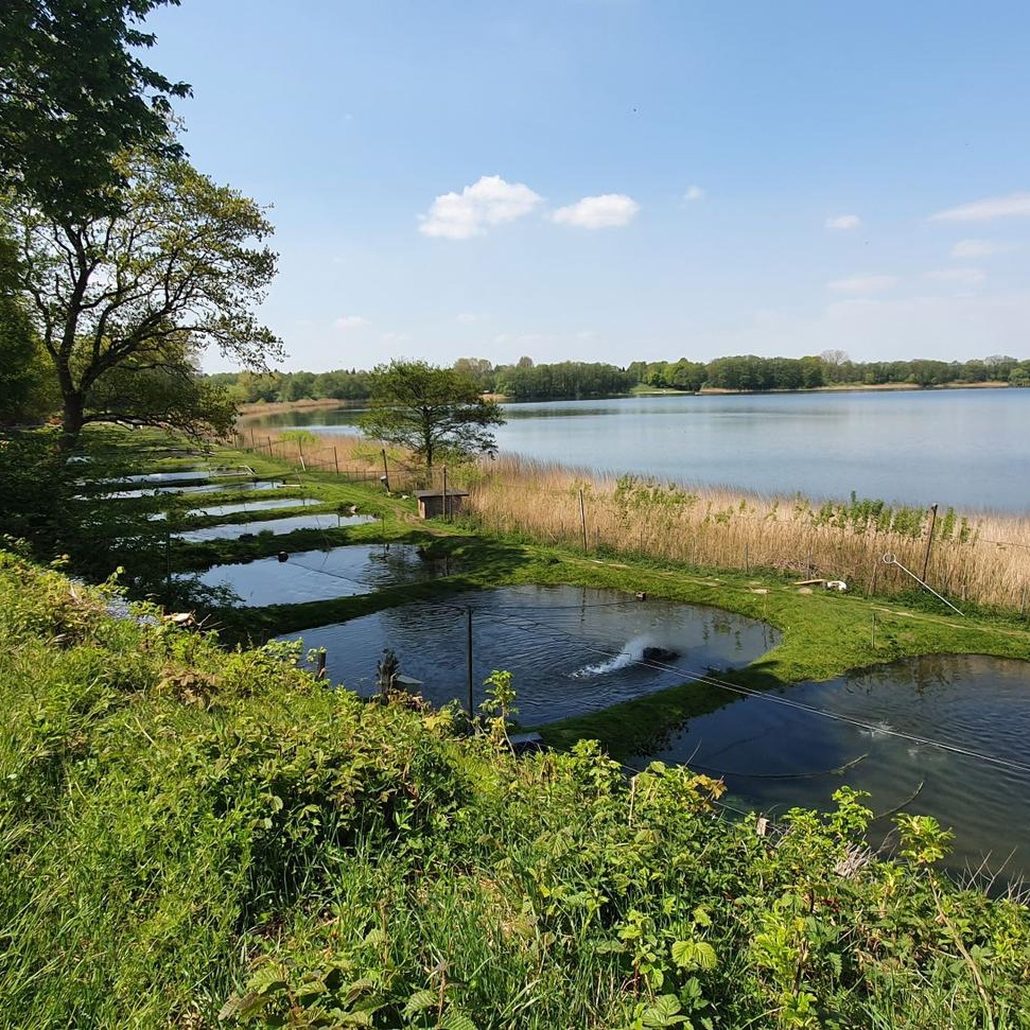
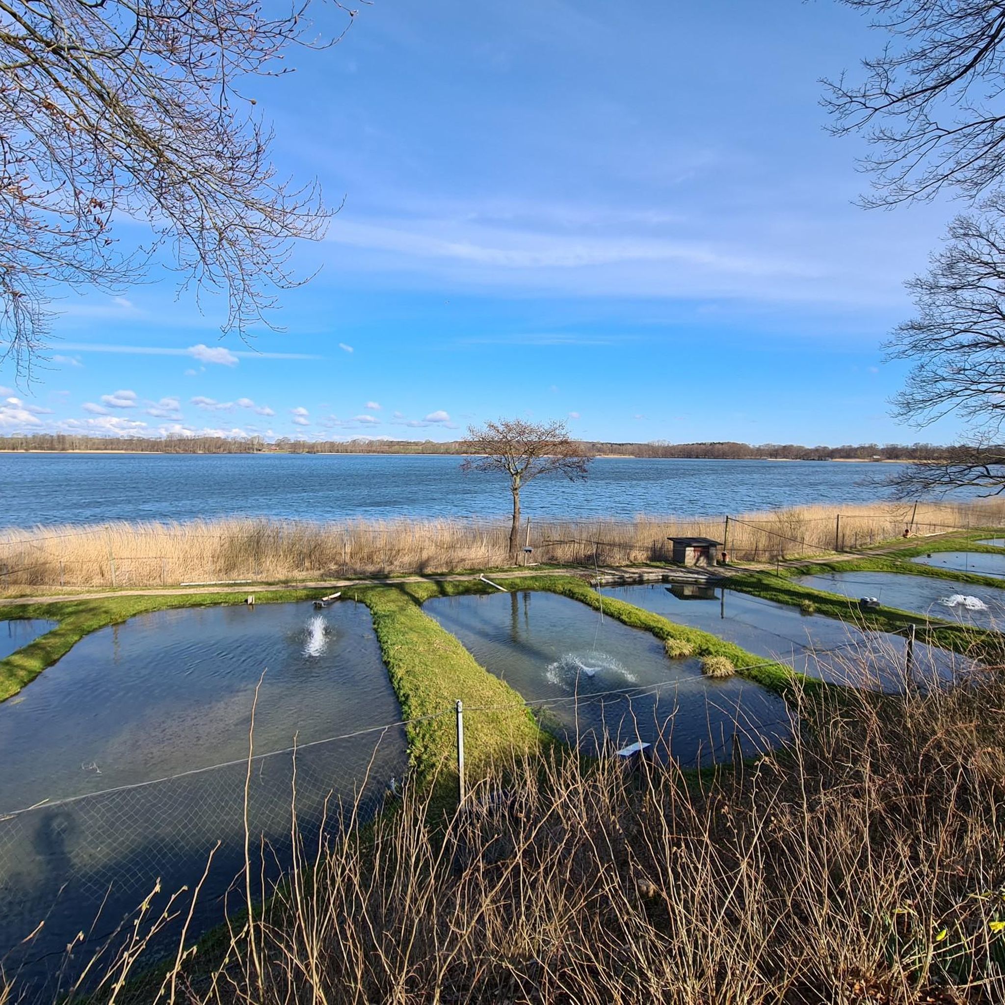
Beyond the trails, you can explore the interconnected lake chain, which includes Bornhöveder See itself and the adjacent Schmalensee. You might also discover the Fish ponds at Dieksee or the Volker Christophersen Fish Farm at Lake Bornhöved. For a unique experience, look for a Hidden Swimming Spot on the Lake.
Is parking available for hikers?
Yes, parking is generally available at various starting points for trails around Bornhöveder Lake and in the nearby villages. Specific parking information can often be found on individual route descriptions on komoot.
What is the best time of year to hike around Bornhöveder Lake?
The Bornhöveder Lake region is beautiful year-round. Spring and autumn offer pleasant temperatures and vibrant colors, while summer is ideal for combining hikes with swimming in the lakes. Even winter hiking can be an option, offering a serene and quiet experience of the glaciated landscape.
Are there options for longer, more challenging hikes?
While many trails are easy, there are options for longer, moderate hikes. For example, the Fish ponds at Dieksee – Kattholz Oak loop from Bornhöved is a moderate 9.7-mile (15.6 km) path that traverses varied terrain including woodlands and agricultural fields, offering a more extended adventure.
What do other hikers say about the trails around Bornhöveder Lake?
The trails around Bornhöveder Lake are highly rated by the komoot community, with an average score of 4.5 stars from over 2,100 reviews. Hikers often praise the diverse glaciated landscapes, the interconnected lakes, and the rich wildlife, making it a vibrant natural habitat to explore.
Are there any viewpoints along the trails?
The undulating, glacially formed terrain around Bornhöveder Lake offers various elevated spots and clearings that provide scenic views over the lakes, woodlands, and agricultural fields. Routes like the View of Belauer See loop from Ruhwinkel are specifically designed to offer picturesque vistas.
Most popular routes around Bornhöveder Lake
Most popular attractions around Bornhöveder Lake

Get inspired with the komoot mobile app


Explore more
Browse the best Hikes in other regions.
