The best road cycling routes around Rincon Valley
4.7
(38)
1,333
riders
15
rides
Road cycling routes around Rincon Valley offer diverse terrain, from accessible community parks to routes with significant elevation changes. The region, situated within Santa Rosa, California, features scenic landscapes and a variety of paths suitable for different fitness levels. Cyclists can explore routes that traverse valleys, pass by river parks, and offer views of the surrounding natural beauty. The area's infrastructure supports a vibrant cycling community, making it a notable destination for road cycling.
Best road cycling routes around Rincon…
Last updated: October 2, 2026
3.5
(4)
411
riders
Moderate road ride. Good fitness required. Some segments of this route may be unpaved and difficult to ride.
5.0
(1)
89
riders
Moderate road ride. Good fitness required. Some segments of this route may be unpaved and difficult to ride.

5.0
(4)
57
riders
Moderate road ride. Good fitness required. Mostly well-paved surfaces and easy to ride.
41
riders
Moderate road ride. Good fitness required. Some segments of this route may be unpaved and difficult to ride.
4.0
(1)
23
riders
62.8km
02:38
350m
350m
Moderate road ride. Good fitness required. Some segments of this route may be unpaved and difficult to ride.
Get access to more routes and recommendations from other explorers.
Already have an account?
Our route recommendations are based on thousands of hikes, rides, and runs completed by other people on komoot.
Start today with a free account
Your next adventure awaits.




Tips from the Community

Art can be found throughout The Loop. Both contemporary art, like this piece, and indigenous art.
1
0
A great cycle path that is made up of several sections and is over 100 miles long in total.
1
0

One of the fastest sections on the Loop. Go East to West to enjoy this fully. Its slightly downhill and normally with a tailwind from the east to give you that extra boost. The restroom area at the end is a great place to stop, rest and regroup regardless of traveling clockwise or counterclockwise. Normally light traffic also makes this a prime area to go fast.
0
0

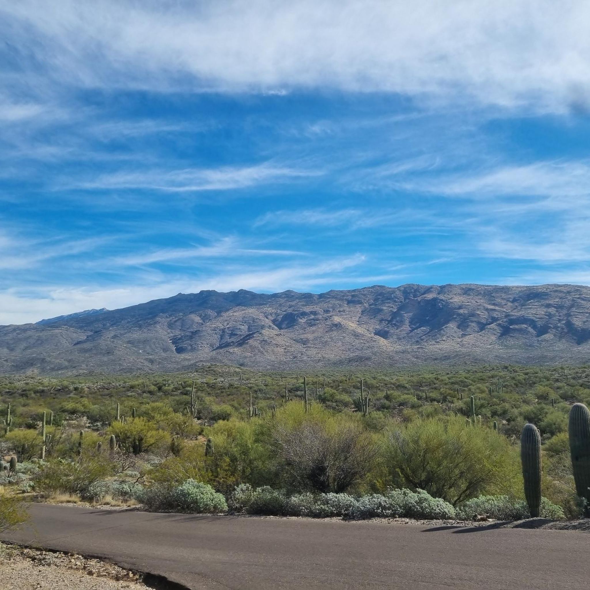
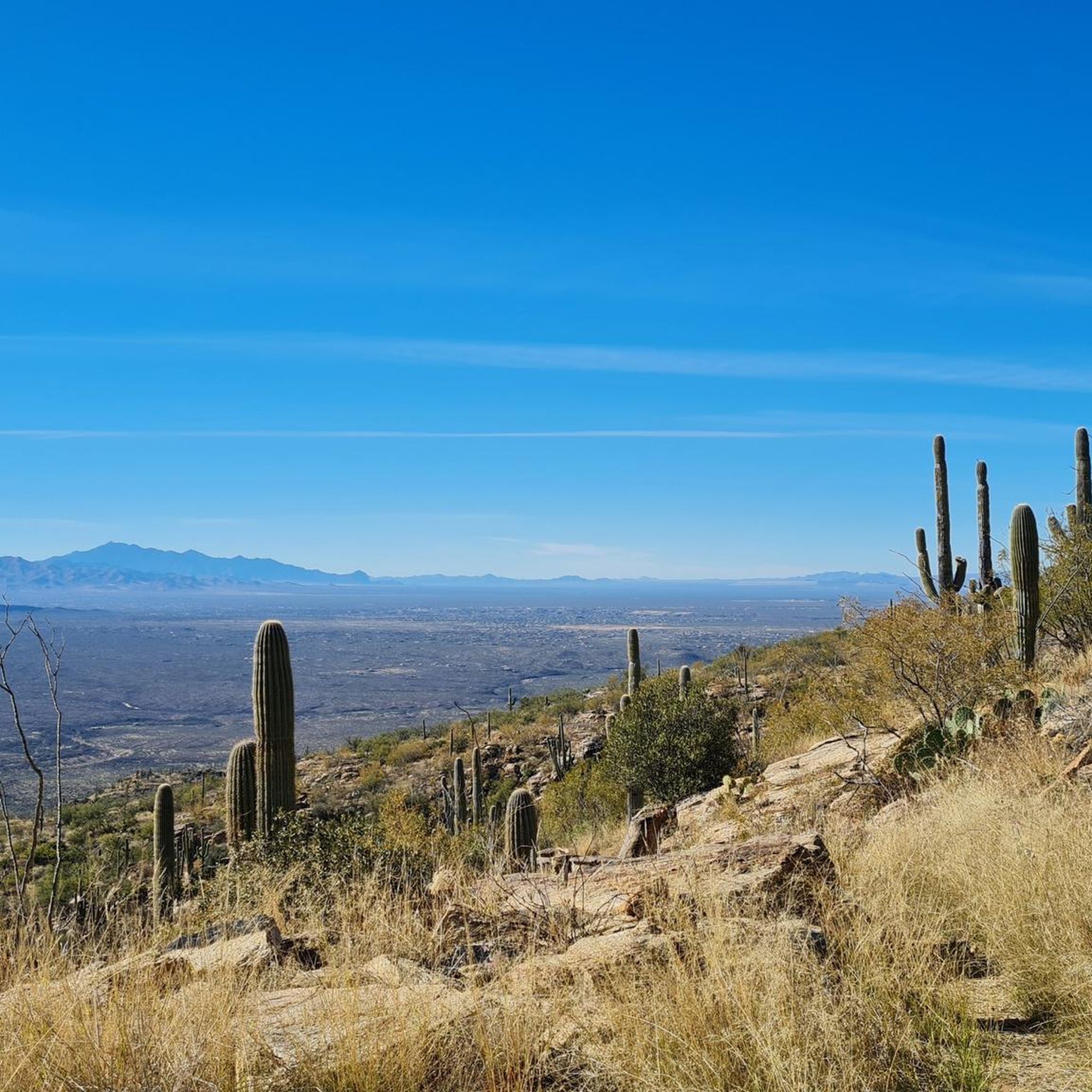
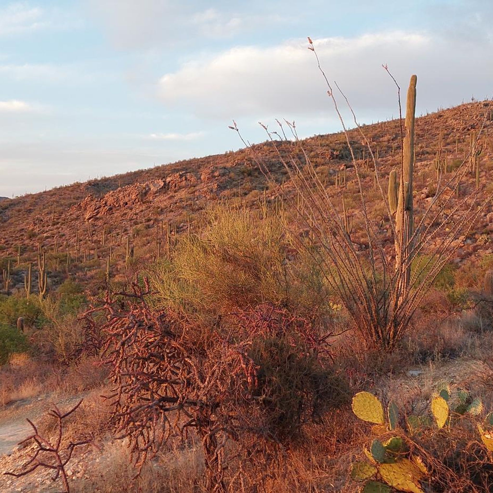
Enjoy views of the Rincon Mountains from this overview point. It's the perfect spot to pause and soak in the unique landscape, from the majestic saguaros to their delicate blooms
0
0
Future Generations Overlook is located along Cactus Forest Drive in Saguaro National Park East. It gives you views of the Rincon Mountains and the cactus forest blanketing them. Snap a photo before continuing your run or hike.
0
0

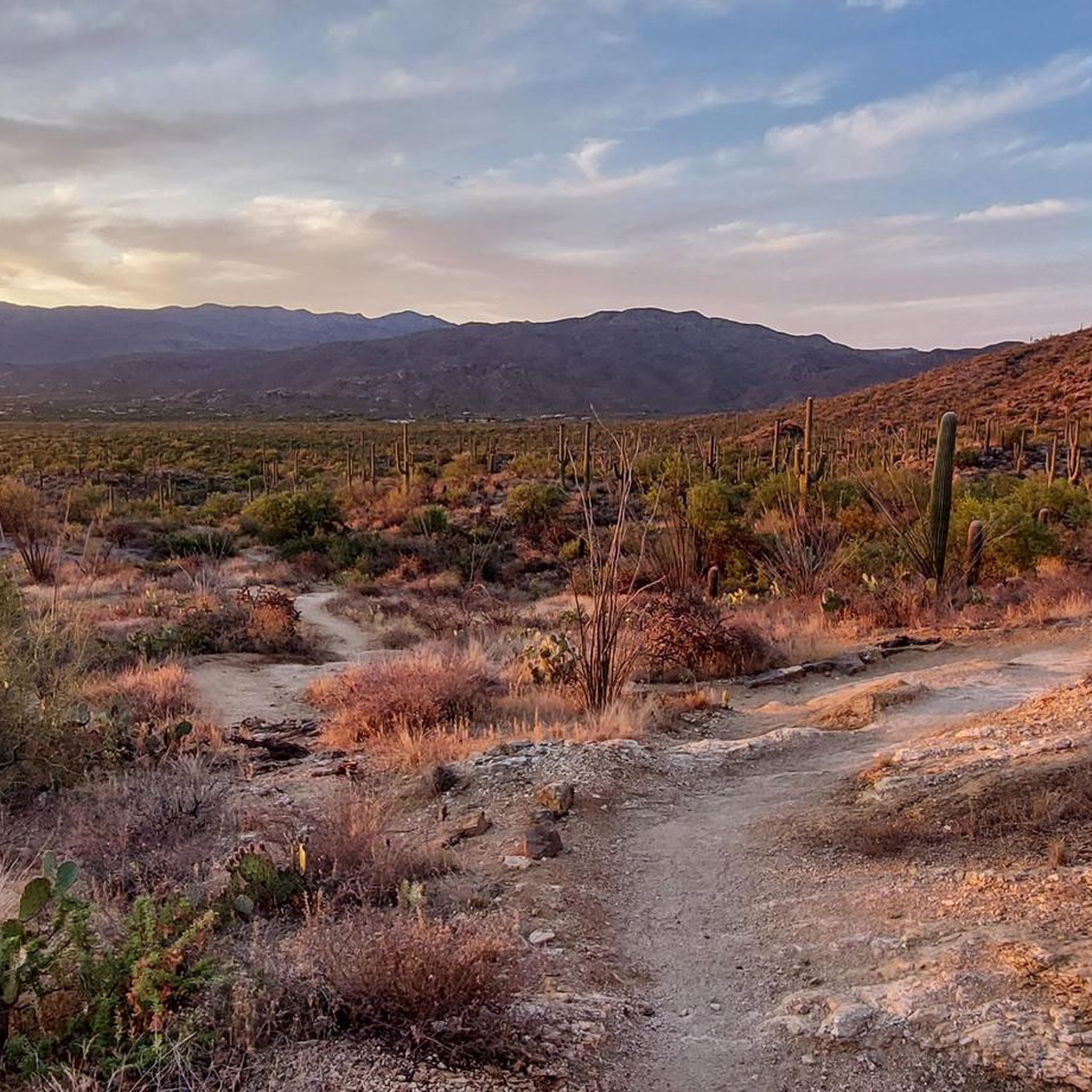
The Tanque Verde Wash/Sabino Canyon Important Bird Area (IBA) spans two connected regions: the rugged Sabino Canyon and the more open Tanque Verde Wash. It is known for its rich bird diversity, including several priority species. Primarily functioning as a natural stormwater drainage, this area is mostly dry except during the monsoon season. It's a popular birdwatching spot, attracting various species like towhees, sparrows, woodpeckers, warblers, and goldfinches, along with rare sightings of the Gray Catbird and Rufous-backed Robin.
0
0

The Julian Wash Greenway is a paved, multi-use trail that connects the Santa Cruz River Park west bank at Silverlake Road to Rita Road.
0
0

The Juan Bautista de Anza Trail passes through three states and two countries as it follows the historic route of Spanish colonizers from Mexico to what is now San Francisco. This particular spot in the trail is close to Sentinel Peak Park (yes, you can bike up the road to the peak). The trail also parallels the Santa Cruz River for a stretch.
2
0
Frequently Asked Questions
How many road cycling routes are available in Rincon Valley?
Rincon Valley offers a diverse network of over 15 road cycling routes. These routes cater to various skill levels, ranging from easy loops to more challenging moderate rides, all set within the scenic landscapes of Santa Rosa, California.
What is the best time of year for road cycling in Rincon Valley?
The region generally offers pleasant cycling conditions for much of the year. However, for optimal comfort, spring and fall are often ideal, providing mild temperatures and clear skies. Summer can be warm, so early morning rides are recommended during those months.
What do other road cyclists enjoy the most about road cycling in Rincon Valley?
The road cycling routes in Rincon Valley are highly rated by the komoot community, with an average score of 4.9 stars from over 30 reviews. Cyclists frequently praise the diverse terrain, the well-maintained paths through river parks, and the scenic valley views that make each ride enjoyable.
Are there easy road cycling routes suitable for beginners in Rincon Valley?
Yes, Rincon Valley has several easy road cycling routes perfect for beginners or those seeking a relaxed ride. An excellent option is the Robert A. Price Senior Park – Julian Wash Greenway loop from Esmond Station K-8, which is 28.0 miles (45.1 km) and offers a gentle ride through local park areas.
Where can I find challenging road cycling routes in Rincon Valley?
For those looking for a challenge, Rincon Valley offers moderate routes with significant elevation changes. The Colossal Cave – Javelina Rocks loop from Davis-Monthan Environs Open Space is a popular choice, spanning 45.1 miles (72.6 km) with varied terrain and notable climbs.
Are there any loop routes for road cycling in Rincon Valley?
Many of the road cycling routes in Rincon Valley are designed as loops, providing convenient starting and ending points. Examples include the Pantano River Park loop from Fantasy Island - Bunny Trailhead and the Robert A. Price Senior Park loop from Vandenberg Village, both offering scenic circular rides.
What natural attractions can I see while road cycling in Rincon Valley?
While road cycling in Rincon Valley, you can explore various natural monuments and scenic spots. Highlights include the Saguaro East Loop, Posta Quemada Canyon, and Wildhorse Tank. These offer glimpses into the region's diverse natural beauty.
Are there family-friendly road cycling paths in Rincon Valley?
Yes, Rincon Valley provides family-friendly options, particularly routes that utilize well-maintained community parks and greenways. These paths often have smoother surfaces and less traffic, making them suitable for riders of all ages. The easy routes mentioned, such as those around Robert A. Price Senior Park, are good choices for families.
Where can I find parking for road cycling routes in Rincon Valley?
Many road cycling routes in Rincon Valley are accessible from local parks and community centers, which typically offer parking facilities. Rincon Valley Community Park, for instance, is a popular starting point and provides ample parking for cyclists.
Can I access road cycling routes in Rincon Valley using public transport?
Santa Rosa, where Rincon Valley is located, has been expanding its cycling infrastructure, including services like Redwood Bikeshare. While direct public transport access to specific trailheads may vary, the city's focus on connecting neighborhoods via cycling encourages using bikes as a mode of transport to reach various routes.
Are there cafes or pubs along the road cycling routes in Rincon Valley?
The Rincon Valley area, being part of Santa Rosa, offers various amenities. While specific cafes or pubs directly on every route may vary, many routes pass through or near residential and commercial areas where you can find places to refuel. Planning your route with komoot can help identify points of interest for refreshments.
Are there any bike parks or specific trails for mountain biking near Rincon Valley?
While this guide focuses on road cycling, the broader area around Rincon Valley does offer options for other types of cycling. For mountain biking enthusiasts, nearby bike parks include Fantasy Island Trails Park and McKenzie Ranch Trail Park, which feature dedicated trails for off-road riding.
Most popular attractions around Rincon Valley

Get inspired with the komoot mobile app


Explore more
Browse the best Road cycling routes in other regions.
