The best walks and hikes around Surprise
4.5
(20)
581
hikers
33
hikes
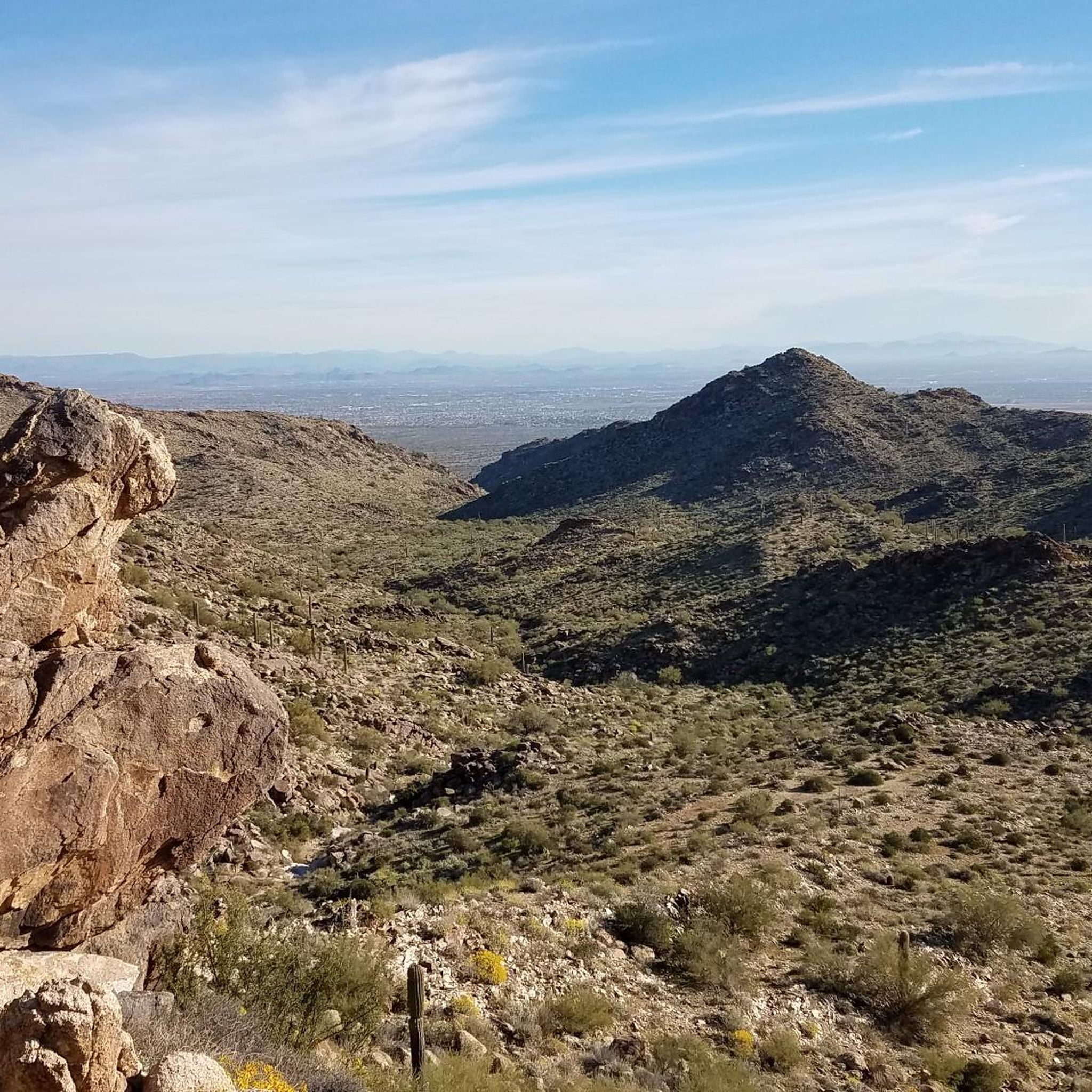
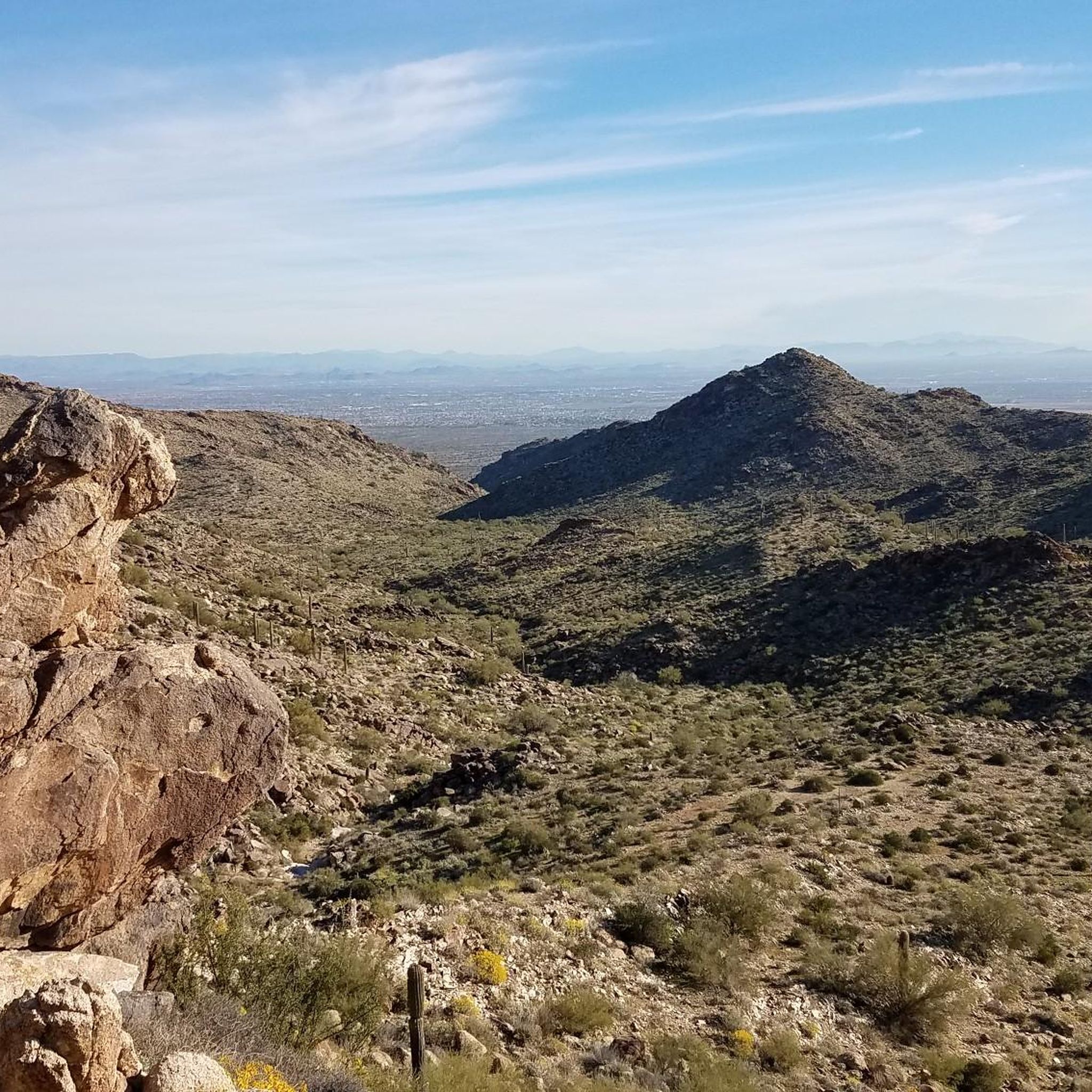
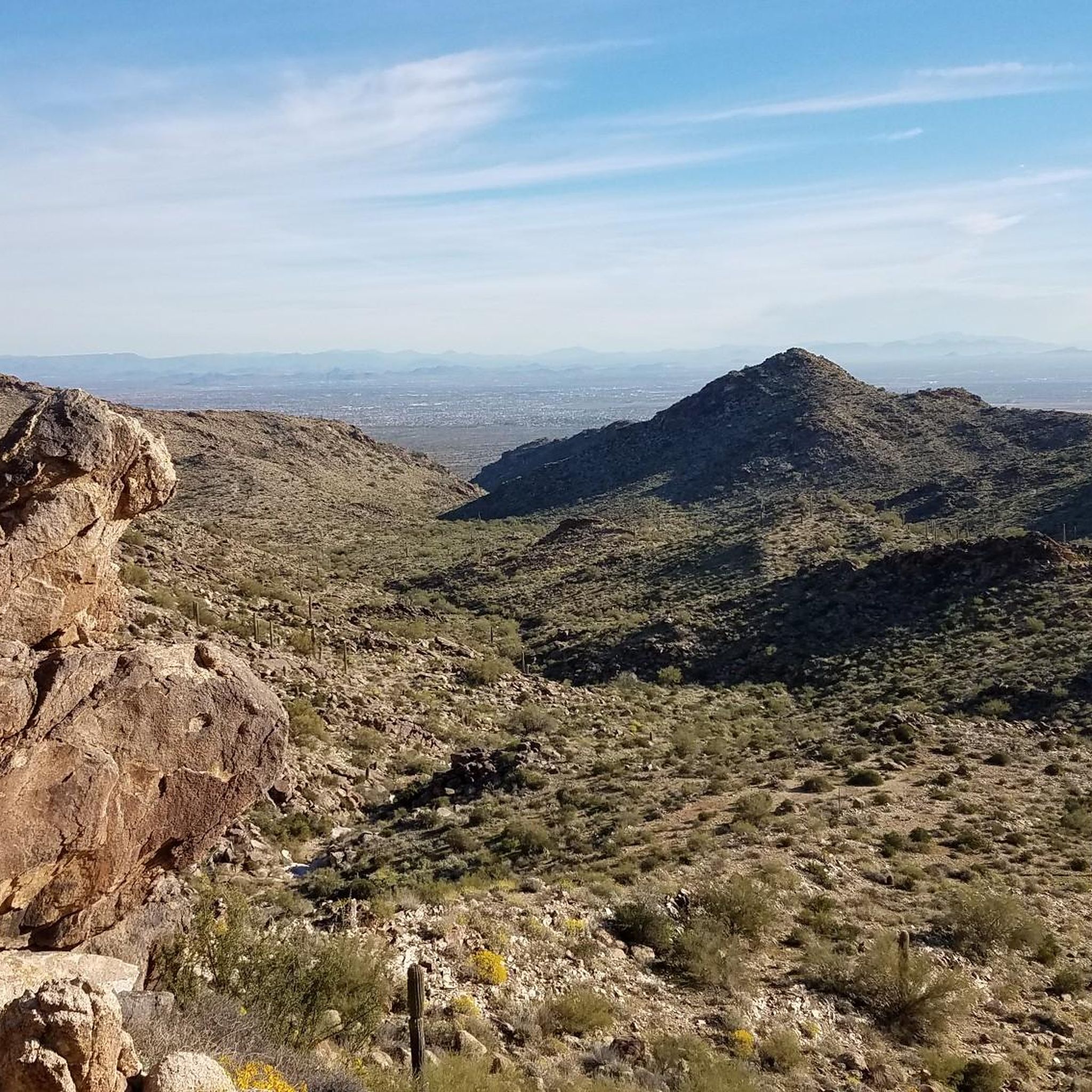
Hiking around Surprise is characterized by the rugged Sonoran Desert terrain of the White Tank Mountains. The area features deep canyons, granite ridges, and a landscape dotted with saguaro cacti. Most trails are located within White Tank Mountain Regional Park, offering routes across various elevations.
Best hiking trails around Surprise
- The most popular hiking route is Waterfall Trail — White Tank Mountain Regional Park, a 1.9 mile (3.0 km) trail that takes about 55 minutes to complete. This easy route leads to a seasonal waterfall and features ancient petroglyphs.
- Another top favourite among local hiking enthusiasts is Mesquite Canyon Trail loop — White Tank Mountain Regional Park, a moderate 8.4 mile (13.6 km) path. The trail winds through desert canyons with sustained climbs and descents.
- Local hiking enthusiasts also love the Barry Goldwater Peak via Goat Camp Trail — White Tank Mountain Regional Park, a 13.6 mile (22.0 km) trail leading through the White Tank Mountains, often completed in about 7 hours.
- Hiking around Surprise is defined by desert washes, rocky canyons, and ridges covered in saguaro cacti. The trail network provides options for different ability levels, from short, accessible paths to challenging mountain hikes.
- The routes in Surprise are highly rated by the komoot community with an average score of 4.3 stars from more than 15 reviews. More than 350 hikers have used komoot to explore Surprise's varied terrain.
Last updated: September 28, 2026
5.0
(1)
83
hikers
5.95km
01:41
130m
90m
Embark on the Waterfall and Black Rock Long Loop, an easy hike that takes you through the diverse Sonoran Desert landscape. This route spans 3.7 miles (6.0 km) with a gentle elevation gain of 411 feet (125 metres), making it perfect for a relaxed outing. You can expect to complete the loop in about 1 hour and 40 minutes, enjoying a thick forest of Saguaro cacti, especially along the Black Rock Loop section.
As you plan your visit, know that the trail is well-maintained and clearly marked, making it suitable for beginners or anyone looking for an accessible desert experience. You can choose to hike the loop clockwise or counter-clockwise, and benches are available along the way for convenient breaks. Remember that the waterfall is intermittent, best seen after significant rainfall, so check conditions if that is a highlight for you.
Beyond the scenic desert flora, the route offers unique historical insights. Keep an eye out for ancient Petroglyphs located along the northern side of the Waterfall Trail section, adding a fascinating cultural dimension to your journey. Interpretive signs also provide details about the local plants and animals, enriching your understanding of this vibrant ecosystem.
9.49km
02:23
10m
10m
Embark on a moderate hike along the Maricopa Trail: McMicken Dam Outlet Channel, a 5.9-mile (9.5 km) route that offers a unique desert experience. You will traverse open desert landscapes, following the wide, engineered waterway of the McMicken Dam Outlet Channel. With a gentle elevation gain of just 21 feet (6 metres), this trail is relatively flat and takes approximately 2 hours and 23 minutes to complete. Keep an eye out for local desert flora and fauna as you enjoy the expansive views.
When planning your visit, it is important to note that parts of the trail near McMicken Dam can be prone to flooding. Significant rainfall may lead to temporary closures of these sections. Always check local conditions and weather advisories before you set out to ensure a safe and uninterrupted hike. Choosing a dry period for your adventure is recommended.
This particular section of the Maricopa Trail stands out for its blend of human engineering and natural desert beauty. While primarily a flood control project, the area around McMicken Dam is also a focus for nature trails and wildlife conservation. It offers a distinct opportunity to observe how infrastructure coexists with the desert environment, providing a unique backdrop for your outdoor exploration.

35.5km
09:49
610m
600m
This 22.1-mile OHV route in the Hieroglyphic Mountains offers difficult hiking with 1997 feet of gain, not recommended for traditional hiker
12.7km
03:12
10m
20m
Embark on a moderate hiking adventure along the Maricopa Trail: Sun Valley Parkway to Grand Avenue, a 7.9-mile (12.7 km) route that takes approximately 3 hours and 11 minutes to complete. You'll experience the unique beauty of the Sonoran Desert, characterized by its flat terrain and diverse vegetation such as barrel cactus and palo verde. The path underfoot varies from singletrack to packed dirt and gravel, with occasional small wash crossings. As you hike, you'll enjoy expansive views of the Valley of the Sun, and you might even catch glimpses of local infrastructure like the McMicken Dam flood-control levee. With a gentle elevation gain of just 47 feet (14 metres), this trail offers an accessible way to immerse yourself in the desert landscape.
This section of the Maricopa Trail is generally less popular, providing a quieter hiking experience away from crowds. Dogs are welcome to join you on a leash, making it a great option for pet owners. While the trail features good signage, carrying GPS navigation is recommended to ensure clarity and help you stay on track. Due to its minimal elevation changes, this route is particularly suitable for beginner hikers looking to explore the desert environment.
This trail offers a unique opportunity to explore the Sonoran Desert's distinct ecosystem, showcasing its diverse flora like the iconic barrel cactus and palo verde trees. It provides a window into the natural environment of the region, contrasting with the expansive views of the Valley of the Sun. The route also offers a glimpse into local infrastructure, including the McMicken Dam flood-control levee and the Trilby Wash Basin, adding an interesting layer to your desert exploration.
2.08km
00:38
70m
70m
Embark on an easy hike along the Vietnam Memorial Trail, a 1.3-mile (2.1 km) route that takes about 38 minutes to complete. You will gain 241 feet (73 metres) in elevation as you traverse a singletrack path of dirt and rocks. Expect classic Sonoran Desert scenery, with desert plants and cacti lining your way. From the higher points, you can enjoy expansive elevated views of the valley, including the Vistancia area and the distant White Tank Mountains, which are particularly striking at sunset.
This trail is easily accessible, making it a convenient choice for a quick outdoor escape. You will find parking readily available near the trailhead, ensuring a straightforward start to your hike. To make the most of your visit, consider planning your trip during the cooler months. This will provide the most comfortable hiking experience in the desert environment.
Beyond the natural beauty, the Vietnam Memorial Trail offers a unique opportunity for reflection. As you hike, you will encounter plaques dedicated to honoring Vietnam Veterans. The path culminates at an American flag, accompanied by benches where you can pause and reflect. This trail near Surprise, Arizona, provides a meaningful and accessible outdoor experience.
Get access to more routes and recommendations from other explorers.
Already have an account?
Our route recommendations are based on thousands of hikes, rides, and runs completed by other people on komoot.
Start today with a free account
Your next adventure awaits.
Tips from the Community

The Trilby Wash Basin is also known as the Trilby Wash Detention Basin. Trilby's flood waters are now directed north by McMicken Dam down a channel that flows into Trilby Wash Basin, so there is not much water in here. There are still two bike and hiking trails with hard dirt on both sides. On the west side is the Maricopa Trail, and on the east side is the Jackrabbit Trail.
0
0

The waterfall in the White Tank Mountains is a seasonal waterfall and is best viewed after a heavy rainfall. There are pools of water at the base of the falls letting you know how much water the canyon has seen recently. The trail to the falls has some benches and viewpoint areas along the way. This is one of the more crowded trail in the White Tanks, so plan for crowds on weekends and afternoons.
0
0
There are some petroglyphs etched into the side of some boulders off of the side of the waterfall trail near the top. They are easy to blow past so keep your eyes peeled as you approach the falls.
0
0
The waterfall in the White Tank Mountains is a seasonal waterfall and is best viewed after a heavy rainfall. There are pools of water at the base of the falls letting you know how much water the canyon has seen recently. The trail to the falls has some benches and viewpoint areas along the way.
0
0
Frequently Asked Questions
Are there any easy, family-friendly hikes in the Surprise area?
Yes, the region is great for families. The Waterfall Trail is a very popular choice. It's a short, relatively flat walk that is even barrier-free for the first half-mile, making it accessible for strollers. It also leads past ancient petroglyphs, which can be exciting for kids to spot.
Are dogs allowed on the hiking trails near Surprise?
Dogs are generally welcome in White Tank Mountain Regional Park, but they must be kept on a leash at all times. It's important to bring plenty of water for your pet, especially during warmer months, and to be mindful of the hot ground surface and local wildlife.
What's a good circular hiking route?
For a rewarding loop hike, consider the Ford Canyon Trail loop. This moderate route offers a great tour of the park's varied terrain, taking you through desert canyons and offering scenic views without having to retrace your steps.
Which hike offers the most rewarding views?
For experienced hikers seeking a challenge with spectacular panoramic views, the trek to Barry Goldwater Peak via Goat Camp Trail is an excellent option. This strenuous climb rewards you with some of the most expansive vistas across the Sonoran Desert and the surrounding mountains.
What kind of wildlife might I see while hiking?
The Sonoran Desert ecosystem is rich with wildlife. Keep an eye out for mule deer, javelinas, and coyotes. The area is also a prime spot for birdwatching, with species like the Greater Roadrunner and Cactus Wren frequently seen. While more elusive, bobcats and desert tortoises also inhabit the park.
Is there an entrance fee for hiking in the White Tank Mountains?
Yes, most trails around Surprise are located within White Tank Mountain Regional Park, which requires a per-vehicle entry fee. This fee helps with the maintenance of trails, facilities, and the preservation of the park's natural environment.
What is the best time of year to hike around Surprise?
The best seasons for hiking are fall, winter, and spring, when temperatures are cooler and more pleasant. Summers in Arizona are extremely hot, and hiking is only recommended in the very early morning hours. Always carry more water than you think you'll need, regardless of the season.
Are there any historical sites to see on the trails?
Yes, the area is rich in history. Along the Waterfall Canyon Trail, you can find Petroglyph Plaza, which features a significant collection of rock art created by the ancient Hohokam people. These fascinating symbols offer a glimpse into the region's past inhabitants.
What do other hikers enjoy about the trails in Surprise?
The trails around Surprise are highly rated by the komoot community. Hikers often praise the well-maintained paths, the stunning Sonoran Desert scenery with its iconic saguaro cacti, and the variety of trails that cater to different fitness levels, from easy walks to strenuous mountain climbs.
How many hiking trails are there around Surprise?
There are over 15 designated hiking routes in the Surprise area, primarily within the White Tank Mountain Regional Park. These range from short, easy nature walks to long, difficult backcountry treks, offering plenty of options for exploration.
What's a good option for a long, challenging day hike?
If you're looking for a strenuous, full-day adventure, the Goat Camp Trail & Mesquite Canyon Trail loop is a fantastic choice. This difficult route covers significant distance and elevation, providing a true test of endurance and rewarding hikers with solitude and ruggedly beautiful desert landscapes.
Most popular attractions around Surprise

Get inspired with the komoot mobile app


Explore more
Browse the best Hikes in other regions.
