The best road cycling routes around Chandler
4.3
(62)
1,913
riders
36
rides
Road cycling routes around Chandler, Arizona, are characterized by a predominantly flat terrain, featuring an extensive network of paved paths and dedicated bike lanes. The region offers a mix of urban greenways, canal paths, and access to Sonoran Desert landscapes. Cyclists can explore routes that traverse both developed areas and natural desert environments, with minimal elevation changes.
Best road cycling routes around Chandler
- The most popular road cycling route is South Mountain Perimeter loop, a 52.2 miles (84.0 km)…
Last updated: July 21, 2026
5.0
(1)
26
riders
84.0km
03:19
180m
180m
Moderate road ride. Good fitness required. Mostly well-paved surfaces and easy to ride.
3.5
(2)
5
riders
56.0km
02:07
80m
80m
Moderate road ride. Good fitness required. Mostly well-paved surfaces and easy to ride.

Sign up for free
2
riders
48.9km
02:18
70m
70m
Moderate road ride. Good fitness required. Mostly well-paved surfaces and easy to ride.
4.2
(6)
72
riders
Moderate road ride. Good fitness required. Mostly well-paved surfaces and easy to ride.
1.0
(1)
64
riders
Moderate road ride. Good fitness required. Some segments of this route may be unpaved and difficult to ride.
Get access to more routes and recommendations from other explorers.
Sign up for free
Already have an account?
Our route recommendations are based on thousands of hikes, rides, and runs completed by other people on komoot.
Start today with a free account
Your next adventure awaits.
Login or Signup

Tips from the Community

Summit Road travels through the heart of the South Mountain Preserve. It passes a number of overlooks, lots of trailheads, and even a couple restrooms, parking lots, and water fountains. The road is entirely paved and gets steep and twisty in spots.
0
0

The views from this winding road that travels through the South Mountain Preserve are fantastic, looking down to the plains below. South Mountain Preserve stands as one of North America's most extensive urban parks, encompassing over 16,000 acres, making it the largest in the United States. Recognized as a Phoenix Point of Pride, this expansive preserve offers a remarkable natural space for locals and visitors to enjoy.
0
0

San Juan Lookout is the highest point in the South Mountain Preserve. It is found at the most western point of the preserve, and getting here by bike is a good ride.
0
0

Dobbins Lookout offers fantastic views of Phoenix. Many visitors come in the evening to watch the sunset over the city.
0
0

South Mountain Preserve is one of the largest urban parks in North America and is the largest in the United States at more than 16,000 acres. It is designated as a Phoenix Point of Pride.
0
0

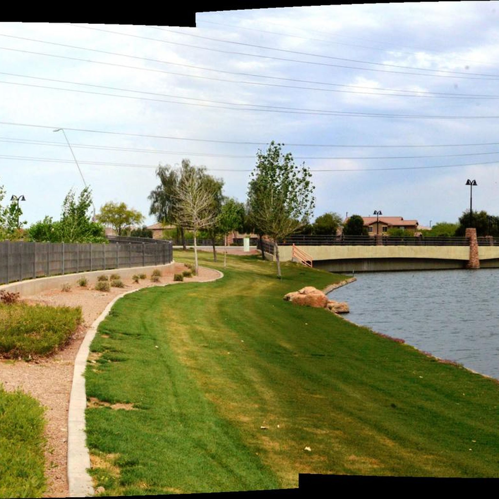
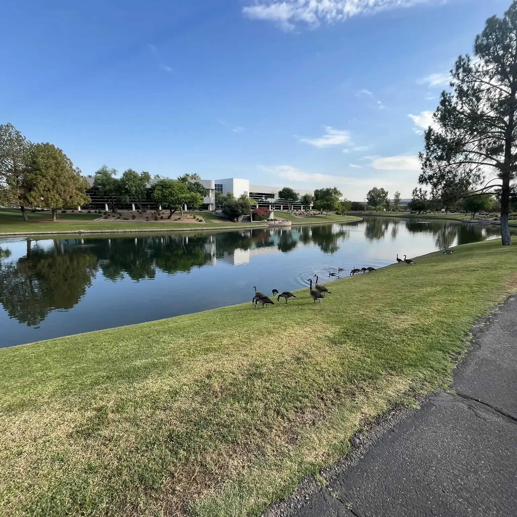
This area actively promotes the creation and conservation of scarce riparian (the interface between land and a river) areas. Abounding with lakes, it features paved paths and boardwalks along the waterfront, providing opportunities to observe a diverse range of wildlife.
1
0

Layton Lake is in a private community, but take the East Queen Creek Road over the lake for a good look at this man-made lake and grassy area. It's a nice little park in the middle of a concrete neighborhood area.
0
0
Enjoy this climb up to this South Mountain Peak! Stay hydrated and consider riding up during the cooler hours of the day. The mountain has an elevation of about 2710 feet. The road is smooth and though it's challenging to ride up the last .5 mile at 15% grade, it makes for a fun ride down.
0
0
Frequently Asked Questions
What kind of terrain can I expect on road cycling routes in Chandler?
Road cycling routes in Chandler are predominantly flat, offering an extensive network of paved paths and dedicated bike lanes. You'll find a mix of urban greenways, canal paths, and access to Sonoran Desert landscapes, with minimal elevation changes. This makes the area suitable for various skill levels, from casual rides to longer, moderate routes.
How many road cycling routes are there around Chandler?
There are over 35 road cycling routes available around Chandler, catering to a wide range of preferences and abilities. The komoot community has explored these routes over 400 times, highlighting the area's popularity for road cycling.
Are there easy or family-friendly road cycling routes in Chandler?
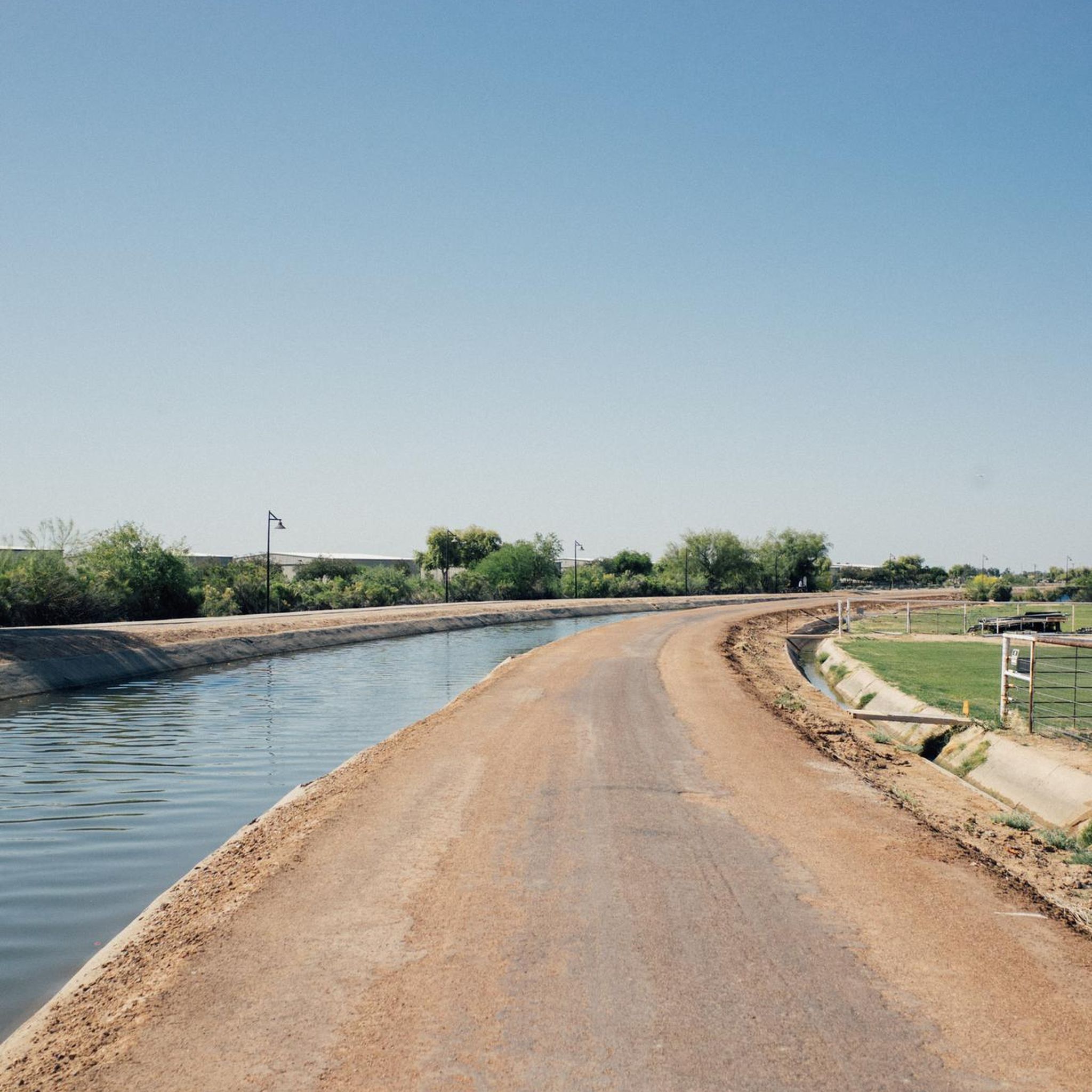
Yes, Chandler offers many easy and family-friendly options. The city has invested in bike-friendly infrastructure, including multi-use pathways like the 6.5-mile Paseo Trail, part of the Consolidated Canal Path network. These paths are mostly paved, comfortable, and feature convenient access points, parks, and restrooms, making them ideal for casual riders and families. There are 14 easy routes listed on komoot.
What are some popular loop routes for road cycling in Chandler?
Chandler offers several popular loop routes. The South Mountain Perimeter loop is a notable 52.2-mile route offering views of the South Mountain Preserve area. Another favorite is the Gilbert, Arizona loop with Riparian Preserve at Water Ranch, which connects Chandler to Gilbert. For a desert experience, consider the Desert Wells Stage Stop loop, a 30.4-mile trail through desert landscapes.
What kind of scenic viewpoints or natural attractions can I find along the routes?
Many routes offer scenic views of the Sonoran Desert and access to natural attractions. You can find highlights like South Mountain Preserve, which provides a dramatic desert backdrop. The South Mountain Perimeter loop offers expansive views of this area. The Consolidated Canal Path network also provides pleasant views along the waterways.
Are there routes suitable for advanced road cyclists in Chandler?
While Chandler's terrain is largely flat, there are routes that offer longer distances and can be combined for more challenging rides. For instance, the View of Telegraph Pass – South Mountain Preserve loop is a longer 55.5-mile route with more elevation gain, providing a moderate challenge. The extensive canal path network, including the 300-mile Sun Circle Trail, allows for very long-distance cycling with minimal street interference.
Where can I find parking for road cycling trails in Chandler?
Many of Chandler's dedicated cycling paths, especially along the canal networks like the Paseo Trail and Consolidated Canal Path, offer convenient access points with parking available. Parks such as Desert Breeze Park also serve as popular starting points with parking facilities.
What do other road cyclists say about the routes in Chandler?
The road cycling routes in Chandler are highly rated by the komoot community, with an average score of 4.8 stars from more than 10 reviews. Cyclists often praise the well-maintained paved paths, the extensive network of bike lanes, and the unique blend of urban greenways and Sonoran Desert scenery.
What is the best time of year for road biking in Chandler?
The cooler months, typically from fall through spring (October to April), are ideal for road biking in Chandler. During these times, temperatures are more moderate, making long rides more comfortable. Summer months can be very hot, so early morning or late evening rides are recommended if cycling during that season.
Are there any facilities like restrooms or cafes along the cycling routes?
Yes, many of the popular multi-use pathways, such as the Paseo Trail and Consolidated Canal Path, are equipped with restrooms along the way. While dedicated cafes directly on trails might be less common, many routes pass through or near urban areas where cafes and other amenities are easily accessible. Desert Breeze Park, a popular starting point, also offers facilities.
What kind of gear is recommended for road biking in Chandler?
Given the predominantly flat and paved nature of the routes, a standard road bike is suitable. Essential gear includes a helmet, water bottles (especially important due to the desert climate), sun protection (sunscreen, sunglasses, hat), and appropriate cycling apparel. For longer rides, consider carrying a repair kit and snacks.
Most popular attractions around Chandler

Get inspired with the komoot mobile app


Explore more
Browse the best Road cycling routes in other regions.
