The best walks and hikes around Bleilochstausee
4.6
(12325)
40,966
hikers
64
hikes
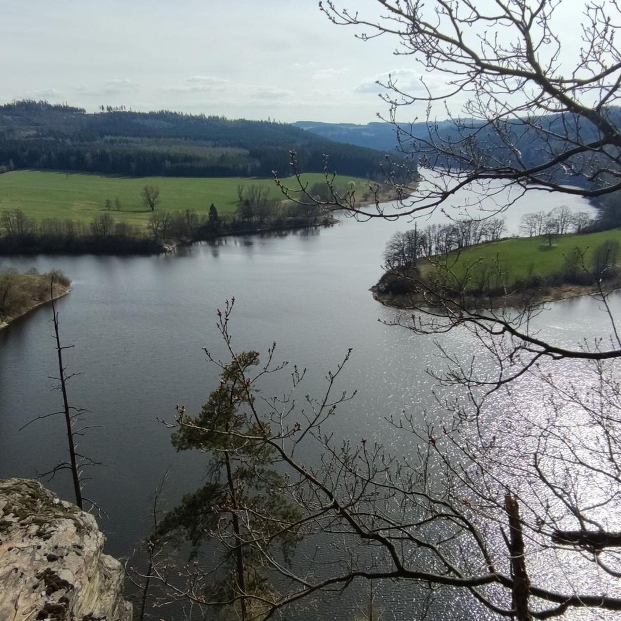
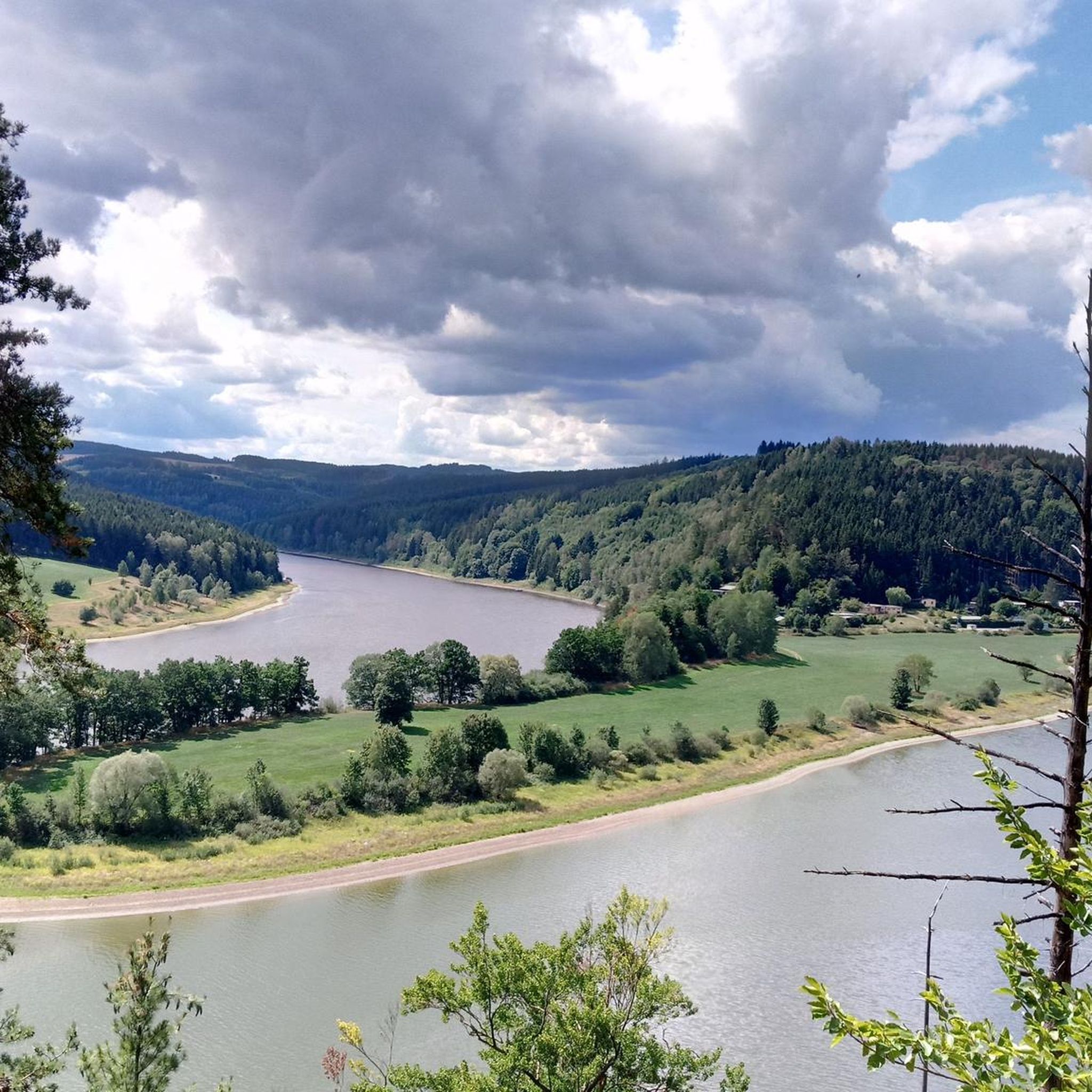
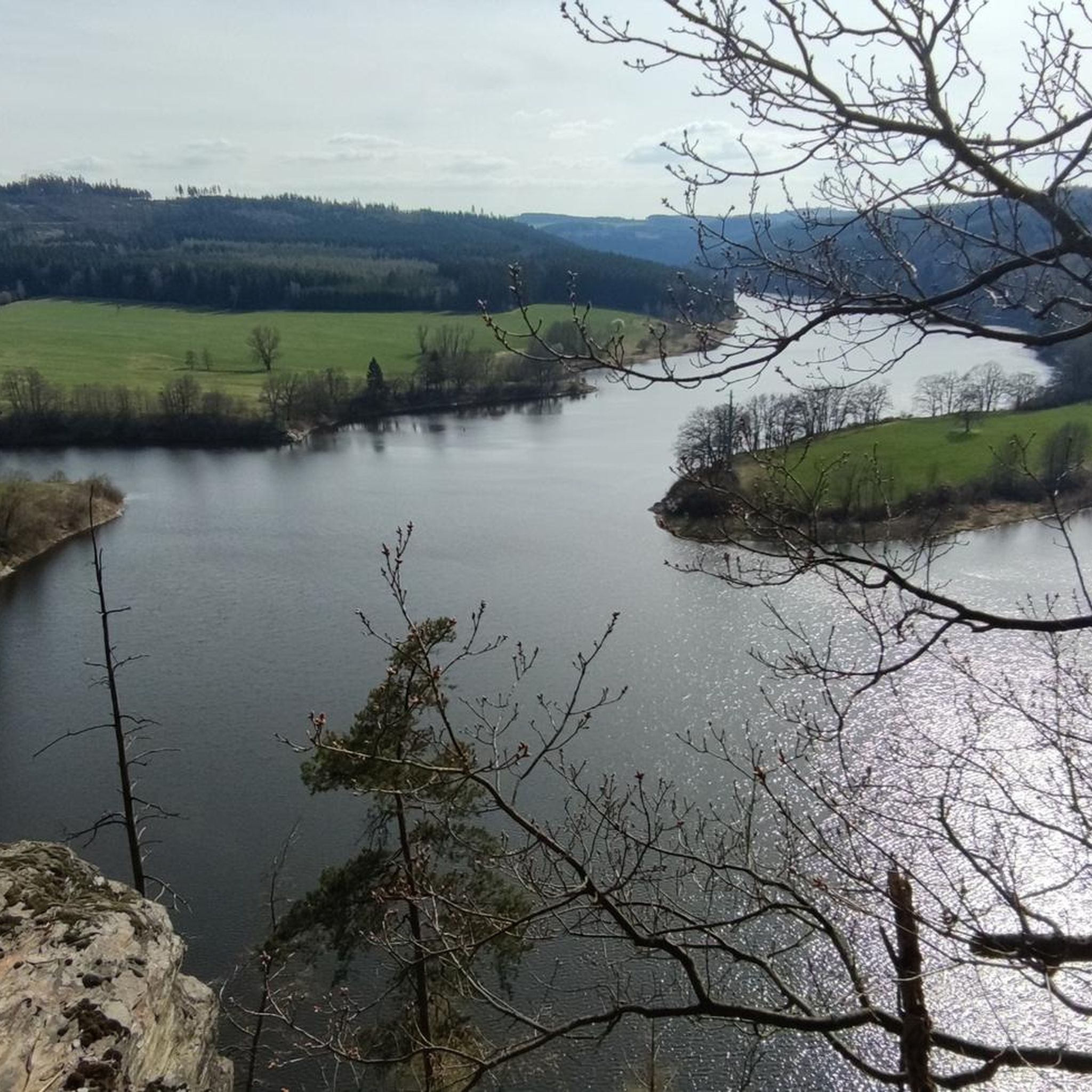
Hiking around Bleilochstausee offers a diverse landscape within the Thuringian Slate Mountains, characterized by Germany's largest reservoir by volume. The region features a distinctive fjord-like topography, surrounded by extensive mixed forests and picturesque hills. This combination of a vast water body and lush woodlands provides varied terrain for exploration. The area also includes the impressive Bleiloch Dam, an engineering structure that adds to the scenic interest.
Best hiking trails around Bleilochstausee
- The most popular hiking route is Wetterabrücke – Bleiloch…
Last updated: September 27, 2026
4.8
(153)
441
hikers
Hard hike. Very good fitness required. Easily-accessible paths. Suitable for all skill levels.
4.6
(41)
129
hikers
5.33km
01:34
150m
150m
Easy hike. Great for any fitness level. Easily-accessible paths. Suitable for all skill levels.

4.8
(21)
75
hikers
Hard hike. Very good fitness required. Easily-accessible paths. Suitable for all skill levels.
4.8
(21)
74
hikers
23.4km
06:37
490m
490m
Hard hike. Very good fitness required. Easily-accessible paths. Suitable for all skill levels.
4.4
(27)
70
hikers
Moderate hike. Good fitness required. Easily-accessible paths. Suitable for all skill levels.
Get access to more routes and recommendations from other explorers.
Already have an account?
Our route recommendations are based on thousands of hikes, rides, and runs completed by other people on komoot.
Start today with a free account
Your next adventure awaits.

Other adventures around Bleilochstausee

Tips from the Community

The view would be even more beautiful if the water were clear.
0
0
A beautiful building that stands out.
0
0
A bridge where you should keep an eye on the car drivers!
0
0

Must take with you to go around the Bleiloch 😉
0
0

really very interesting and informative
1
0

At the hiking parking lot near the Spermaauer junction, a lovingly designed information board commemorates the former Schleiz–Saalburg narrow-gauge railway, which once connected the Saale Valley. The board offers fascinating insights into the history of the railway line and shows how the landscape has changed over time. A worthwhile stop for anyone interested in regional history or who wants to combine their hike with a little historical moment. 🚂🌲
0
0


Large turbine to look at
2
0
Frequently Asked Questions
How many hiking trails are available around Bleilochstausee?
There are over 50 hiking routes available around Bleilochstausee, offering a wide range of options for different skill levels. You'll find 21 easy, 27 moderate, and 6 difficult trails to explore.
What kind of terrain can I expect when hiking around Bleilochstausee?
The terrain around Bleilochstausee is characterized by a unique fjord-like landscape, extensive mixed forests, and picturesque rolling hills. You can expect paths that wind along the reservoir's shores, through dense woodlands, and over varied elevations, providing both tranquil stretches and more challenging ascents.
What natural features or landmarks can I see while hiking around Bleilochstausee?
While hiking, you'll encounter the vast Bleiloch Reservoir itself, which is Germany's largest by volume. The region is also known for its beautiful mixed forests and the distinctive fjord-like topography. For scenic views, consider trails that pass the Singletrack Above Bleiloch Reservoir.
Are there any impressive man-made structures to explore?
Yes, the most prominent man-made structure is the Bleiloch Dam, an impressive engineering marvel built between 1926 and 1932. It stands 65 meters high and 205 meters long, offering a striking contrast to the natural surroundings. Some routes, like the Wetterabrücke – Bleiloch Dam loop from Saalburg-Ebersdorf, offer direct views of the dam.
What do other hikers enjoy most about the trails around Bleilochstausee?
The trails around Bleilochstausee are highly rated by the komoot community, with an average score of 4.5 stars from over 380 reviews. Hikers frequently praise the diverse landscape, the stunning views of the reservoir, and the well-maintained paths through the mixed forests. Many appreciate the combination of natural beauty and the impressive Bleiloch Dam.
Are there any circular hiking routes around Bleilochstausee?
Yes, the region offers several circular hiking routes. A notable option is the approximately 20 km circular trail that starts in Saalburg, traversing forest paths and offering tranquil nature views before passing the dam and returning through quaint towns. You can also explore routes like the View of the Saale River – Bleiloch Reservoir, Saalburg loop from Saaldorf.
Are the trails around Bleilochstausee suitable for families with children?
Yes, there are 21 easy trails around Bleilochstausee that are generally suitable for families. These routes often feature less elevation gain and well-maintained paths, making them enjoyable for hikers of all ages. The diverse scenery and reservoir views provide engaging experiences for children.
Can I bring my dog on the hiking trails?
Many trails around Bleilochstausee are dog-friendly, allowing you to enjoy the natural beauty with your canine companion. It's always recommended to keep dogs on a leash, especially in nature reserves or areas with wildlife, and to respect local regulations regarding pets.
How long do hikes typically take in this region?
Hike durations vary significantly depending on the route's length and difficulty. For example, a moderate trail like the Market Square Saalburg – View of the Saale River loop from Saalburg-Ebersdorf takes around 2 hours 36 minutes, while more challenging routes such as the Bench with a view of Luchsloch – View of the Saale River loop from Saalburg-Ebersdorf can take over 6 hours.
What is the best time of year to hike around Bleilochstausee?
The region is beautiful year-round, but spring and autumn offer particularly pleasant hiking conditions with mild temperatures and vibrant foliage. Summer is ideal for combining hiking with water activities on the reservoir, while winter can provide a serene, snow-covered landscape for those prepared for colder conditions.
Where can I find parking for hiking trails around Bleilochstausee?
Parking is generally available at popular starting points for trails, particularly in towns like Saalburg-Ebersdorf and Saaldorf. Many trailheads are designed with visitor access in mind, often providing designated parking areas close to the reservoir or forest entrances.
Are there places to eat or stay near the hiking trails?
Yes, towns and villages surrounding Bleilochstausee, such as Saalburg and Gräfenwarth, offer various options for refreshments and accommodation. You'll find cafes, pubs, and restaurants where you can refuel after your hike, as well as guesthouses and hotels for overnight stays.
Most popular routes around Bleilochstausee
Most popular attractions around Bleilochstausee

Get inspired with the komoot mobile app


Explore more
Browse the best Hikes in other regions.
