The best cycling routes around Stausee Scheibe-Alsbach
4.5
(384)
2,040
riders
135
rides
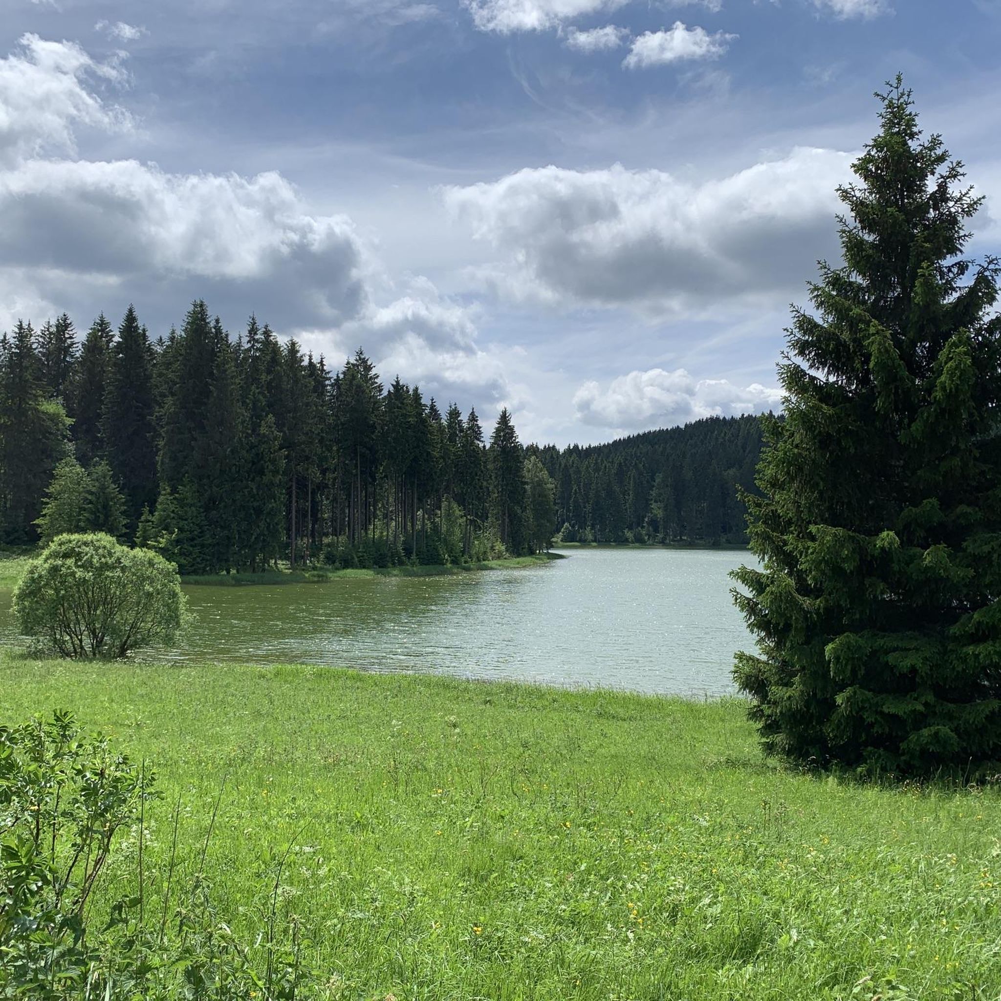
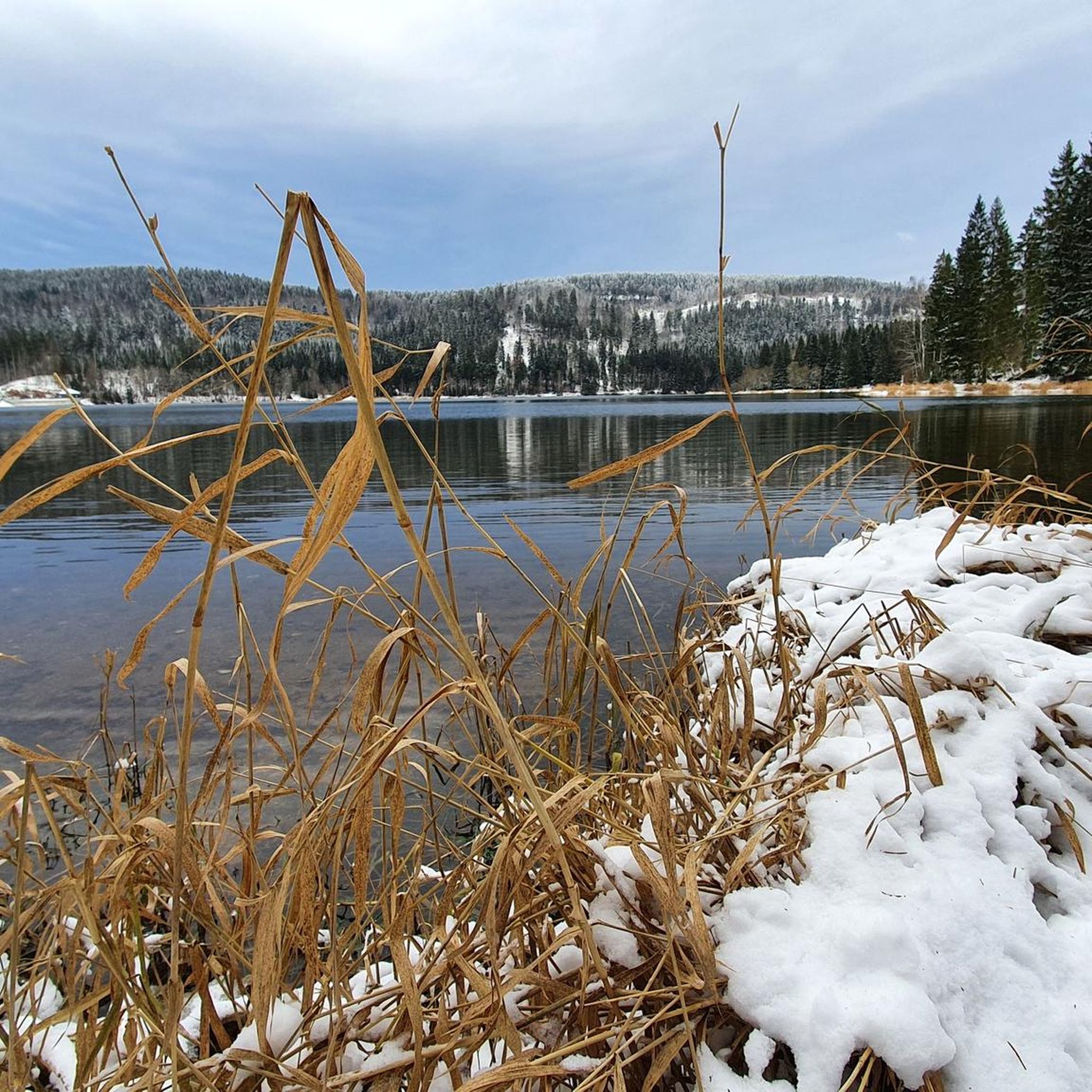
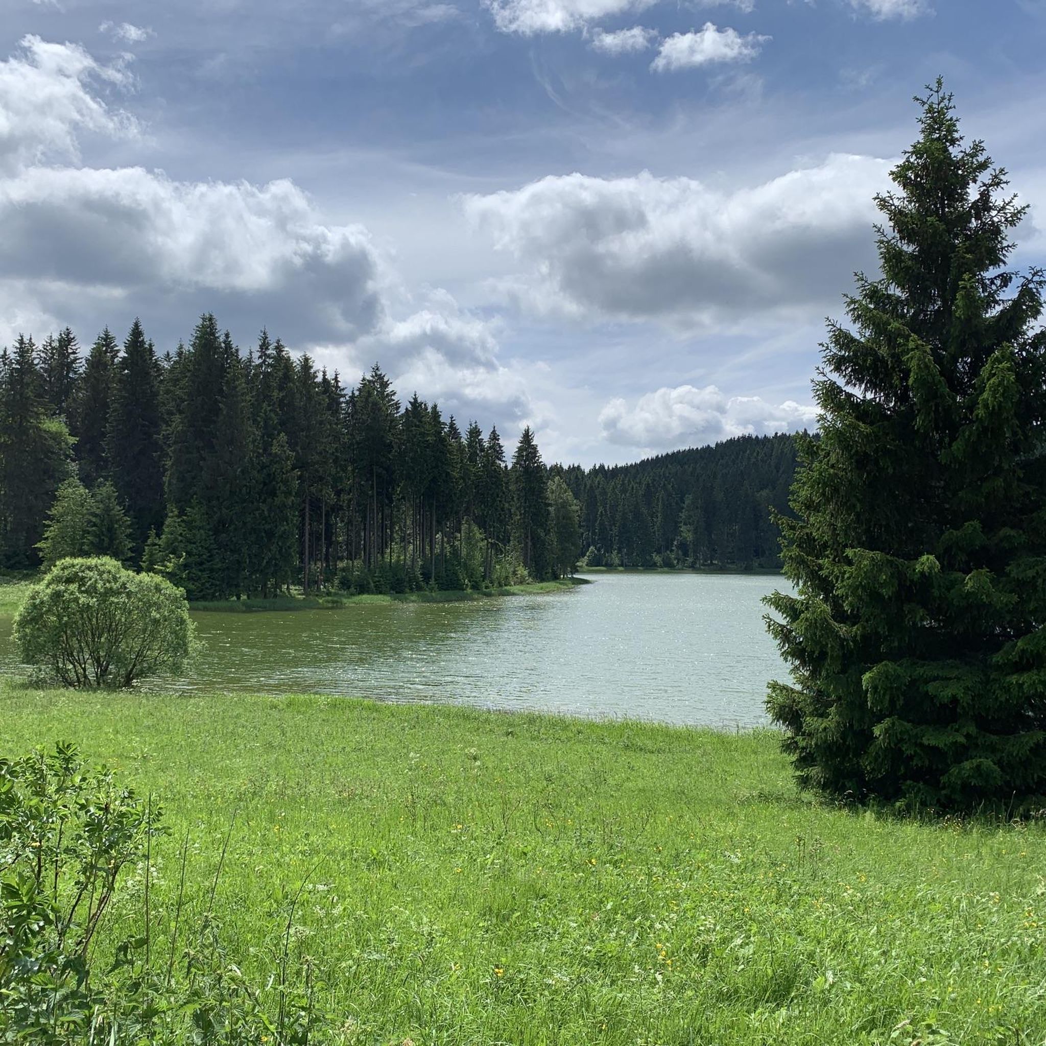
Touring cycling around Stausee Scheibe-Alsbach is characterized by its serene natural environment within the Upper Schwarzatal region of Thuringia, Germany. The area features a pristine drinking water reservoir, extensive forests, and lush meadows, providing a scenic backdrop for cycling. Situated at an elevation of 752 meters, the landscape offers varied terrain with well-maintained paths. The region's proximity to the Schwarza river's source and the Rennsteig trail adds to its natural appeal.
Best touring cycling routes around Stausee Scheibe-Alsbach
- The most popular touring cycling route is Fröbelturm – Town Church Neuhaus am Rennweg loop from Steinheid, a 23.0 miles (37.0 km) trail that takes 3 hours 1 minute to complete. This route features significant elevation gain through forested areas.
- Another top favourite among local touring cyclists is Scheibe-Alsbach Dam – Scheibe-Alsbach Reservoir loop from Löschleite, a moderate 11.6 miles (18.7 km) path. This route offers continuous views of the reservoir and surrounding nature.
- Local touring cyclists also love the Waldbad Bernhardsthal – Neuhaus am Rennweg loop from Steinheid, an 8.5 miles (13.7 km) trail leading through dense woodlands, often completed in about 1 hour 3 minutes.
- Touring cycling around Stausee Scheibe-Alsbach is defined by its pristine drinking water reservoir, extensive forests, and lush meadows. The network offers options for different ability levels, from relatively flat paths to more challenging routes with elevation changes.
- The routes in Stausee Scheibe-Alsbach are highly rated by the komoot community with an average score of 4.5 stars from over 400 reviews. More than 2000 touring cyclists have used komoot to explore Stausee Scheibe-Alsbach's varied terrain.
Last updated: July 11, 2026
4.6
(10)
23
riders
18.7km
01:18
250m
250m
Moderate bike ride. Good fitness required. Mostly paved surfaces. Suitable for all skill levels.
4.6
(5)
21
riders
37.0km
03:00
470m
470m
Hard bike ride. Very good fitness required. Mostly paved surfaces. Suitable for all skill levels.

Sign up for free
2.0
(1)
11
riders
13.7km
01:03
160m
160m
Hard bike ride. Good fitness required. You may need to push your bike for some segments of this route.
4.3
(3)
17
riders
16.3km
01:17
260m
260m
Moderate bike ride. Good fitness required. Mostly paved surfaces. Suitable for all skill levels.
5.0
(2)
7
riders
9.41km
00:45
130m
130m
Easy bike ride. Great for any fitness level. Mostly paved surfaces. Suitable for all skill levels.
Get access to more routes and recommendations from other explorers.
Sign up for free
Already have an account?
Our route recommendations are based on thousands of hikes, rides, and runs completed by other people on komoot.
Start today with a free account
Your next adventure awaits.
Login or Signup
Tips from the Community

We enjoyed the beautiful view from Fellberg, the new ski lift seems to be finished. The entire plateau did not look very inviting, everything was closed, probably there is only a bear dancing there on weekends. 😉 We quickly continued on our Griffelpfad, but made a short detour to the monument on the Fellberg summit. The Touringen stamp hangs 100 meters further on at a crossroads - for whatever reason. 🤔
0
0

Shortest route, from Steinheid to Augustental, it's constantly downhill 🚵♂️👍😉
0
0
A short stretch of the Rennsteig, with the opportunity to refresh yourself 👍
0
1

The Thuringian Forest is simply beautiful.
0
0
Rennsteig Cycle Route 👍
1
0
Frequently Asked Questions
How many touring cycling routes are available around Stausee Scheibe-Alsbach?
There are over 120 touring cycling routes in the Stausee Scheibe-Alsbach region, catering to various preferences and fitness levels. These routes are highly rated by the komoot community, with an average score of 4.5 stars.
Are there easy or family-friendly touring cycling routes in the Stausee Scheibe-Alsbach area?
Yes, the area offers several easy routes suitable for families and beginners. For instance, the Stockwiese – Steinheid loop from Steinheid is an easy 9.4 km path that takes about 45 minutes to complete, offering a gentle introduction to the region's beauty.
Can I find circular touring cycling routes around Stausee Scheibe-Alsbach?
Absolutely. Circular routes are a highlight of the area. A popular option is the Scheibe-Alsbach Dam – Scheibe-Alsbach Reservoir loop from Löschleite, which is a moderate 18.7 km path offering continuous views of the reservoir and its natural surroundings.
What kind of scenery can I expect while touring cycling around Stausee Scheibe-Alsbach?
You can expect serene natural beauty, characterized by the pristine drinking water reservoir, extensive healthy forests, and lush meadows. The routes often provide fresh mountain air and scenic views across the water and the undulating terrain of the Thuringian Forest.
Are there any specific viewpoints or rest areas along the cycling routes?
Yes, the area is known for its strategically placed 'wonderful council seats' or rest areas around the lake. These spots offer ideal opportunities to pause, relax, and enjoy panoramic views of the reservoir and the picturesque Thuringian Forest.
What is the best time of year to go touring cycling in Stausee Scheibe-Alsbach?
The Stausee Scheibe-Alsbach region is beautiful year-round, but spring, summer, and early autumn generally offer the most pleasant weather for touring cycling. During these seasons, the paths are typically in good condition, and the natural scenery is at its most vibrant.
Where can I park my car when visiting Stausee Scheibe-Alsbach for cycling?
While specific parking locations are not detailed in the route descriptions, areas around the reservoir and starting points for routes like those from Steinheid or Löschleite typically offer designated parking facilities for visitors accessing the trails. It's advisable to check local signage upon arrival.
What do other cyclists say about their experience touring cycling here?
The komoot community highly rates touring cycling in Stausee Scheibe-Alsbach, with an average score of 4.5 stars from over 400 reviews. Cyclists often praise the peaceful atmosphere, the well-maintained paths, and the beautiful natural features of the reservoir and its surrounding forests.
Are there any longer touring cycling routes for experienced riders?
Yes, for more experienced riders seeking a challenge, there are longer routes with significant elevation gain. An example is the Fröbelturm – Town Church Neuhaus am Rennweg loop from Steinheid, a difficult 37 km trail that takes over 3 hours to complete and features substantial climbs through forested areas.
Can I combine cycling with other activities like hiking in the Stausee Scheibe-Alsbach region?
Yes, the region is excellent for combining activities. Its proximity to the famous Rennsteig hiking trail and the option to visit the Schwarza spring means you can easily integrate short walks or longer hikes into your cycling tour, exploring deeper into the woods or to natural highlights.
What makes the Stausee Scheibe-Alsbach area unique for touring cyclists?
The area stands out for its tranquil environment, the pristine drinking water reservoir, and the health-promoting fresh mountain air. It offers accessible cycling paths with continuous scenic views, providing a peaceful escape from crowded tourist spots and an immersive experience in nature.
What are the typical trail conditions for touring cycling routes around the reservoir?
The routes around Stausee Scheibe-Alsbach generally feature well-maintained paths. While the circular path directly around the lake is relatively flat, other routes can include varied terrain with elevation changes through forested areas. Conditions are usually suitable for touring bicycles.
Is it possible to visit the source of the Schwarza river while cycling?
The Schwarza river, which feeds the reservoir, originates only a few hundred meters away. While not directly on a cycling route, visiting the Schwarza spring can be a short and rewarding detour, easily combined with a cycling tour in the area.
Most popular routes around Stausee Scheibe-Alsbach
Most popular attractions around Stausee Scheibe-Alsbach

Get inspired with the komoot mobile app


Explore more
Browse the best Cycling routes in other regions.
