The best road cycling routes in Harper Creek Wilderness Study Area
5.0
(1)
73
riders
4
rides
Road cycling routes in Harper Creek Wilderness Study Area offer access to the scenic mountain roads of the broader region, particularly the nearby Blue Ridge Parkway. While the Wilderness Study Area itself features rugged, unpaved terrain unsuitable for traditional road bikes, the surrounding area provides exceptional paved routes. Cyclists can expect significant elevation changes and winding roads through dense forests and past mountain vistas. This region is characterized by its challenging climbs and rewarding descents, making it a notable destination…
Last updated: May 14, 2026
5
riders
41.8km
02:11
660m
660m
Cycle 26.0 miles (41.8 km) on the Blue Ridge Parkway from Linville Falls to Yonahlossee Overlook, gaining 2175 feet (663 metres).
42.9km
02:26
820m
820m
Cycle the moderate 26.7-mile Spruce Pine - Mountains to Sea Trail Loop in the Blue Ridge Parkway, gaining 2700 feet of elevation.

Sign up for free
5.0
(1)
63
riders
60.8km
03:08
1,040m
1,040m
Hard road ride. Very good fitness required. Mostly well-paved surfaces and easy to ride.
5
riders
Moderate road ride. Good fitness required. Mostly well-paved surfaces and easy to ride.
Our route recommendations are based on thousands of hikes, rides, and runs completed by other people on komoot.
Start today with a free account
Your next adventure awaits.
Login or Signup



Tips from the Community

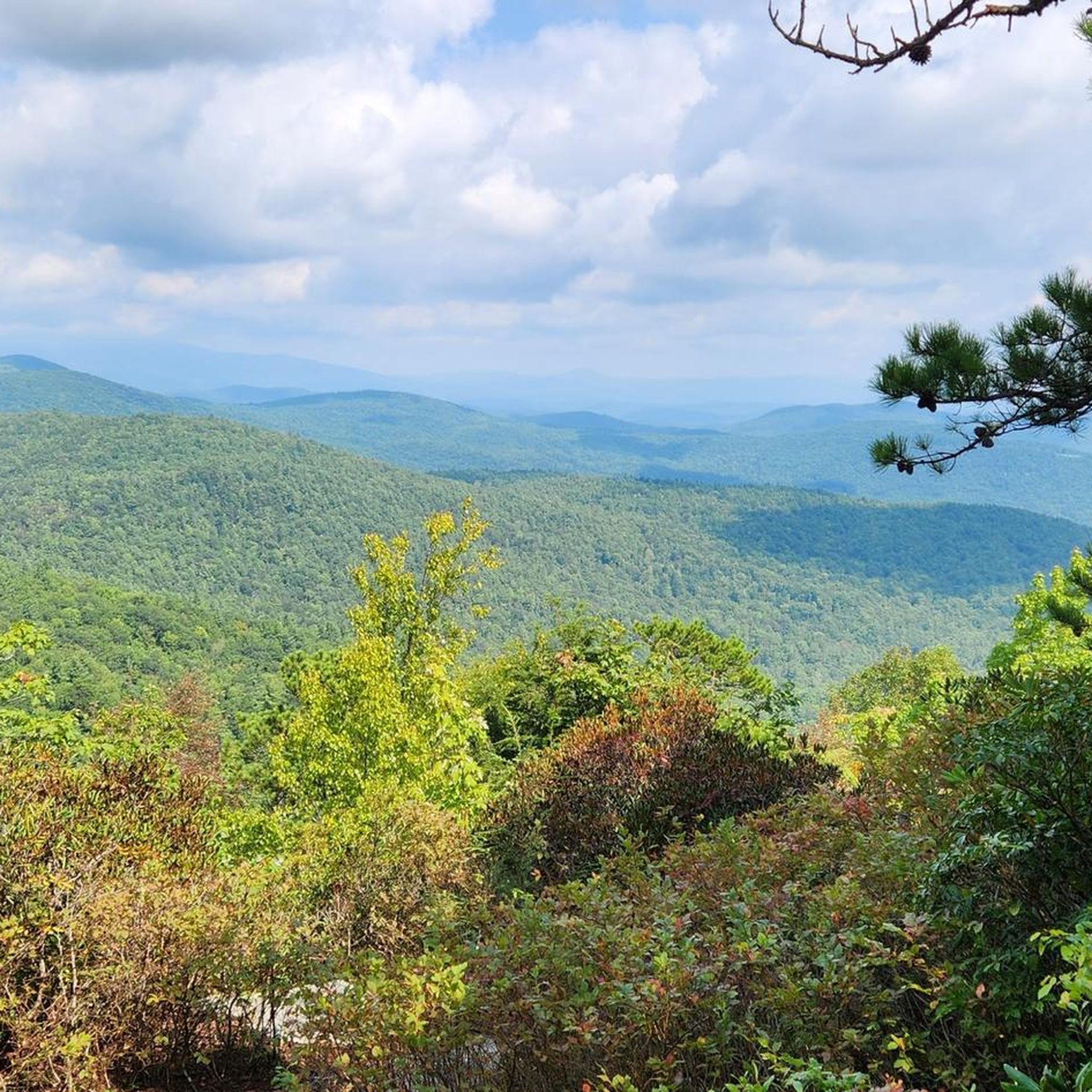
North Cove Overlook is located at Milepost 327.3 on the Blue Ridge Parkway. At 2,815 feet, it isn't one of the highest overlooks on the parkway, but it still boasts views of nearly 20 different mountains. There are also views of a historic orchard, and you can read about the history on some informational signs.
0
0
Hefner Gap Overlook is situated at Milepost 325.9 on the Blue Ridge Parkway. The overlook offers a head-on view of Linville Mountain and some other lower-lying peaks. There is also a tiny apple orchard below the overlook, and you can read about the history of farming in the area on some informational signs nearby.
0
0
The Bear Den Overlook on the Blue Ridge Parkway is located at Milepost 323 and at an elevation of 3,360 feet. This expansive view is a popular stop for both motorists and bikers, and you expect to see some other people near the viewing area. This is an especially great place to watch the sunset.
0
0
The Chestoa View Overlook is situated at Milepost 320.8 on the Blue Ridge Parkway. The main overlook is a super short walk from the parking lot (no bikes allowed), and there is a smooth, crushed-gravel hiking trail that leaves the parking area that is quiet and boasts a couple views of its own. Some people choose to not even leave the parking area.
0
0
You can find Camp Creek Overlook at Milepost 315.6 on the Blue Ridge Parkway. Near the sign at the overlook, you can find a small, super short dirt trail that leads down to the water. This is a pretty peaceful pull-off that not a lot of people frequent.
0
0
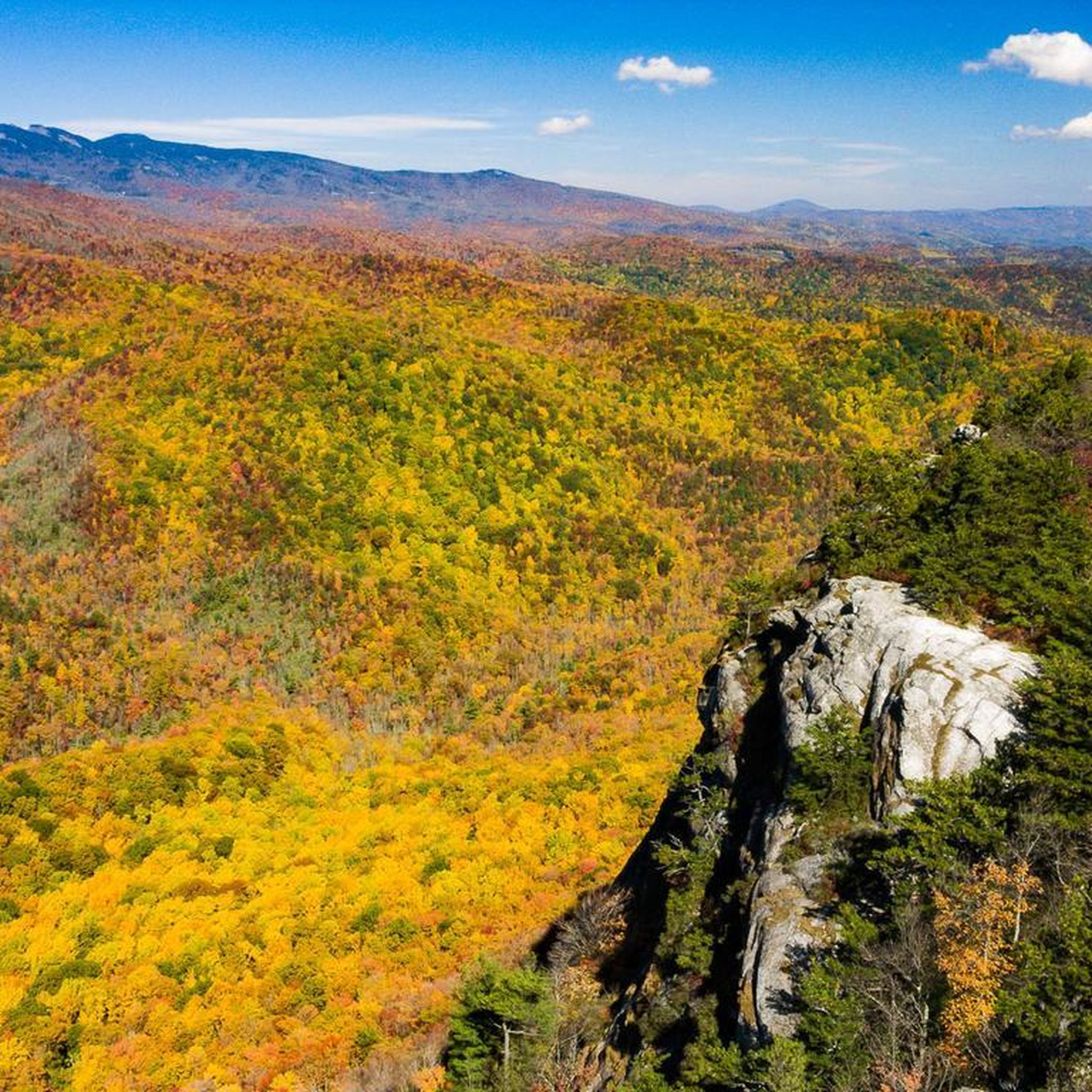
At Milepost 302.8 on the Blue Ridge Parkway, you can find the Rough Ridge Overlook. There is a trail that offers even better views from a better vantage point, but there are a few window views through the trees from the parking area. The section of the parkway bordering Grandfather Mountain State Park is especially beautiful in the fall when the colors on the trees are changing.
0
0
At Milepost 302.8 on the Blue Ridge Parkway, you can find the Rough Ridge Overlook. There is a trail that offers even better views from a better vantage point, but there are a few window views through the trees from the parking area. The section of the parkway bordering Grandfather Mountain State Park is especially beautiful in the fall when the colors on the trees are changing.
0
0
The Yonahlossee Overlook is located at Milepost 303.9 on the Blue Ridge Parkway and is one of the most frequented stop on the roadside in this area. The overlook, itself, is a bit overgrown, but you can get a great view of the Linn Cove Viaduct just south of the overlook, which is where most people who park at the overlook are headed anyway.
1
0
Frequently Asked Questions
Where can I find suitable road cycling routes near the Harper Creek Wilderness Study Area?
While the Harper Creek Wilderness Study Area itself features rugged, unpaved terrain unsuitable for traditional road bikes, the broader region offers exceptional paved routes. The legendary Blue Ridge Parkway, easily accessible from the area, is a premier destination for road cycling, providing hundreds of miles of scenic roadways.
What kind of terrain and challenges can I expect on road cycling routes in this region?
Cyclists can expect significant elevation changes, winding roads, and challenging climbs through dense forests and past mountain vistas. Routes often feature grades rarely exceeding 8-9%, making them favored by experienced road cyclists seeking a challenge. The region is characterized by its rewarding descents after strenuous ascents.
Are there any specific routes recommended for road cycling?
Yes, popular routes include Linville Falls Picnic Area to Yonahlossee Overlook, a moderate 26.0-mile ride, and the Spruce Pine - Mountains to Sea Trail Loop, which is 26.7 miles long and offers a mix of climbs and descents.
What are some longer or more difficult road cycling options available?
For more challenging rides, consider the Green Mountain Overlook – Pilot Ridge Overlook loop from Pineola Bog State Natural Area, an 82.1-kilometer route with significant elevation gain, or the View of Grandfather Mountain – Rough Ridge Overlook loop from Flat Rock, a 36.3-mile trail leading through mountain terrain.
What scenic viewpoints or landmarks can I see while road cycling in the area?
Many routes offer breathtaking vistas along the Blue Ridge Parkway. You can enjoy views of Grandfather Mountain, particularly on routes like the View of Grandfather Mountain – Rough Ridge Overlook loop from Flat Rock. The Parkway itself is renowned for its stunning landscapes, especially during fall foliage season.
When is the best time of year to go road cycling in this region?
The fall foliage season offers particularly spectacular views along the Blue Ridge Parkway. However, varying weather conditions can occur, so it's always wise to check forecasts before heading out. Spring and summer also provide pleasant cycling conditions, though summer can be warmer.
Are there any family-friendly road cycling routes or options for beginners?
While many routes in the region feature challenging climbs, there are options that cater to different ability levels. The routes listed as 'moderate' in difficulty, such as Linville Falls Picnic Area to Yonahlossee Overlook, might be more suitable for those looking for less strenuous rides, though significant elevation gain is still common.
What should I pack or be aware of for safety when road cycling here?
Given the challenging terrain and varying weather, it's essential to be prepared. Pack high-visibility clothing, wear a helmet, and have proper lighting, especially for tunnels or low-visibility conditions. Be aware that there are no designated bike lanes on the Blue Ridge Parkway, and services can be long distances apart.
What do other road cyclists enjoy most about the routes near Harper Creek Wilderness Study Area?
The area is highly rated by the komoot community, with an average score of 5.0 stars. Reviewers often praise the challenging mountain roads, the scenic overlooks, and the experience of cycling through dense forests. The network offers diverse options for various ability levels.
Can I find loop trails for road cycling in this area?
Yes, several routes are designed as loops, providing a continuous cycling experience. Examples include the Spruce Pine - Mountains to Sea Trail Loop and the View of Grandfather Mountain – Linn Cove Viaduct loop from Pineola Bog State Natural Area, which is a moderate 29.8-kilometer ride.
Are there any specific considerations for cycling on the Blue Ridge Parkway?
The Blue Ridge Parkway is a fantastic cycling destination, but it's important to note that there are no designated bike lanes. Cyclists share the road with vehicles. Be prepared for significant elevation changes, long distances between services, and varying weather conditions. For more detailed information on bicycling the Parkway, you can visit the National Park Service website: nps.gov/blri.
Most popular routes in Harper Creek Wilderness Study Area

Get inspired with the komoot mobile app


Explore more
Browse the best Road cycling routes in other regions.
