The best running trails in Sand To Snow National Monument
50
runners
6
runs
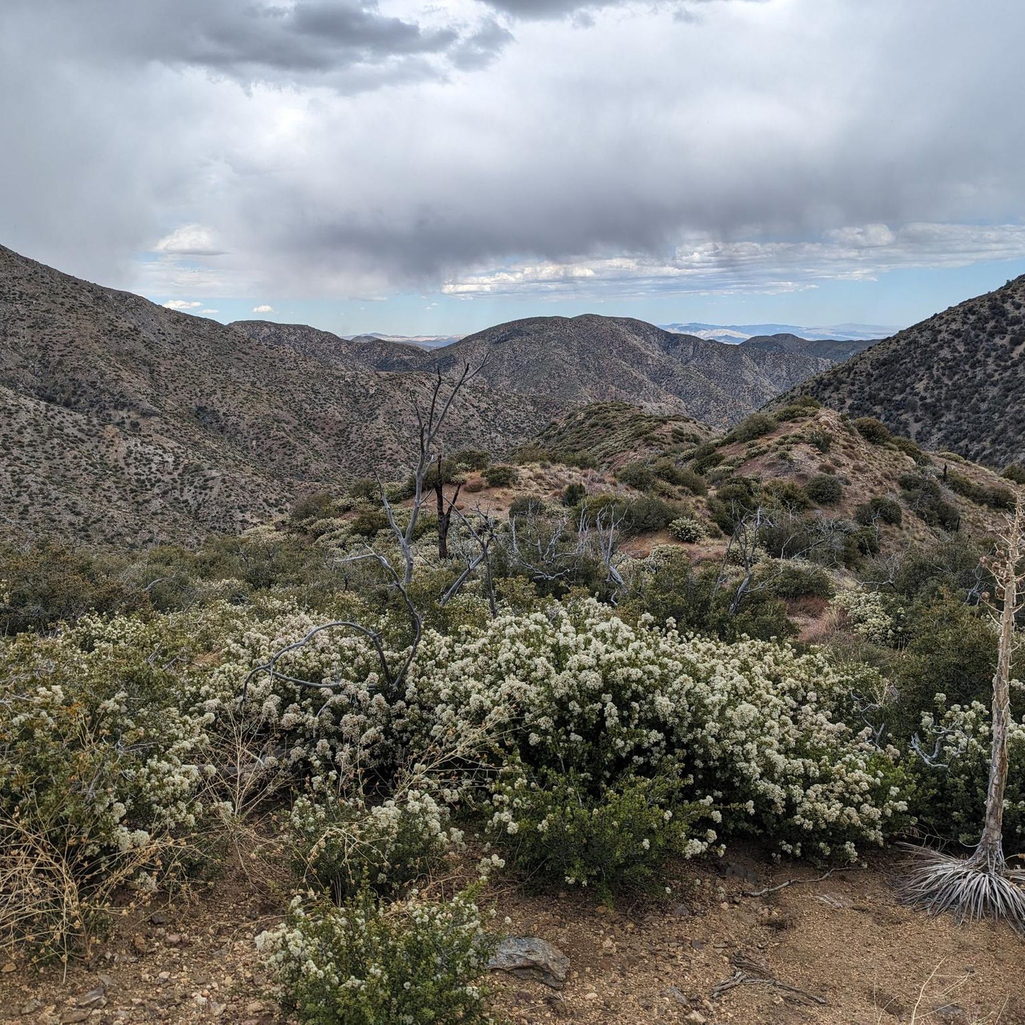
Jogging routes in Sand To Snow National Monument traverse a highly biodiverse landscape, stretching from the Sonoran Desert floor to alpine peaks over 11,000 feet. The region features dramatic elevation changes, encompassing arid desert, lush riparian forests, and alpine conifer woodlands. This varied terrain offers a constantly changing backdrop for running, from lowland desert to high mountain environments.
Best jogging routes in Sand To Snow National Monument
- The most popular jogging route is Whitewater River & Red Dome via PCT – San Bernardino National Forest, a 4.5 miles (7.2 km) trail that takes 54 minutes to complete. This moderate route follows the Whitewater River, offering views of the Red Dome basalt formation.
- Another top favourite among local runners is Castle Rock and Bluff Lake Trail, an easy 3.0 miles (4.8 km) path. This route provides a scenic experience through woodlands and near lake features.
- Local runners also love the Jepson Peak – Mount San Gorgonio Summit loop from South Fork trailhead parking lot, a 20.7 miles (33.3 km) trail leading through high-elevation alpine forests, often completed in about 4 hours 48 minutes.
- Jogging in Sand To Snow National Monument is defined by diverse ecosystems, including lowland deserts, riparian areas, and alpine peaks. The extensive network of trails offers options for various ability levels, from easy paths to challenging high-elevation routes.
- The guide includes highly-rated routes that showcase the best of the region's landscape. More than 40 runners have used komoot to explore Sand To Snow National Monument's varied terrain.
Last updated: August 9, 2026
4
runners
7.18km
00:54
120m
120m
Moderate run. Good fitness required. Mostly paved surfaces. Suitable for all skill levels.
4.75km
00:36
90m
90m
Easy run. Great for any fitness level. Mostly paved surfaces. Suitable for all skill levels.

Sign up for free
13
runners
33.3km
04:48
1,420m
1,420m
Hard run. Very good fitness required. Mostly paved surfaces. Suitable for all skill levels.
10
runners
18.2km
02:48
990m
990m
Hard run. Very good fitness required. Mostly paved surfaces. Suitable for all skill levels.
7
runners
23.5km
03:45
950m
950m
Hard run. Very good fitness required. Sure-footedness, sturdy shoes and alpine experience required.
5
runners
9.26km
01:13
280m
280m
Moderate run. Good fitness required. Mostly paved surfaces. Suitable for all skill levels.
4
runners
6.41km
00:51
210m
210m
Moderate run. Good fitness required. Mostly paved surfaces. Suitable for all skill levels.
2
runners
7.77km
00:57
240m
240m
Moderate run. Good fitness required. Mostly paved surfaces. Suitable for all skill levels.
2
runners
Hard run. Good fitness required. Sure-footedness, sturdy shoes and alpine experience required.
2
runners
8.27km
00:53
130m
130m
Moderate run. Good fitness required. Mostly paved surfaces. Suitable for all skill levels.
Our route recommendations are based on thousands of hikes, rides, and runs completed by other people on komoot.
Start today with a free account
Your next adventure awaits.
Login or Signup
Tips from the Community

The Vivian Creek Trail is a short but steep trail that takes you to the peak of Mt. San Gorgonio. There are several great viewpoints along the way as you make you way up the mountain.
0
0

Only 2+ miles from the trailhead, this hike makes for a perfect introduction to snowshoeing with great views of the surrounding mountains.
0
0

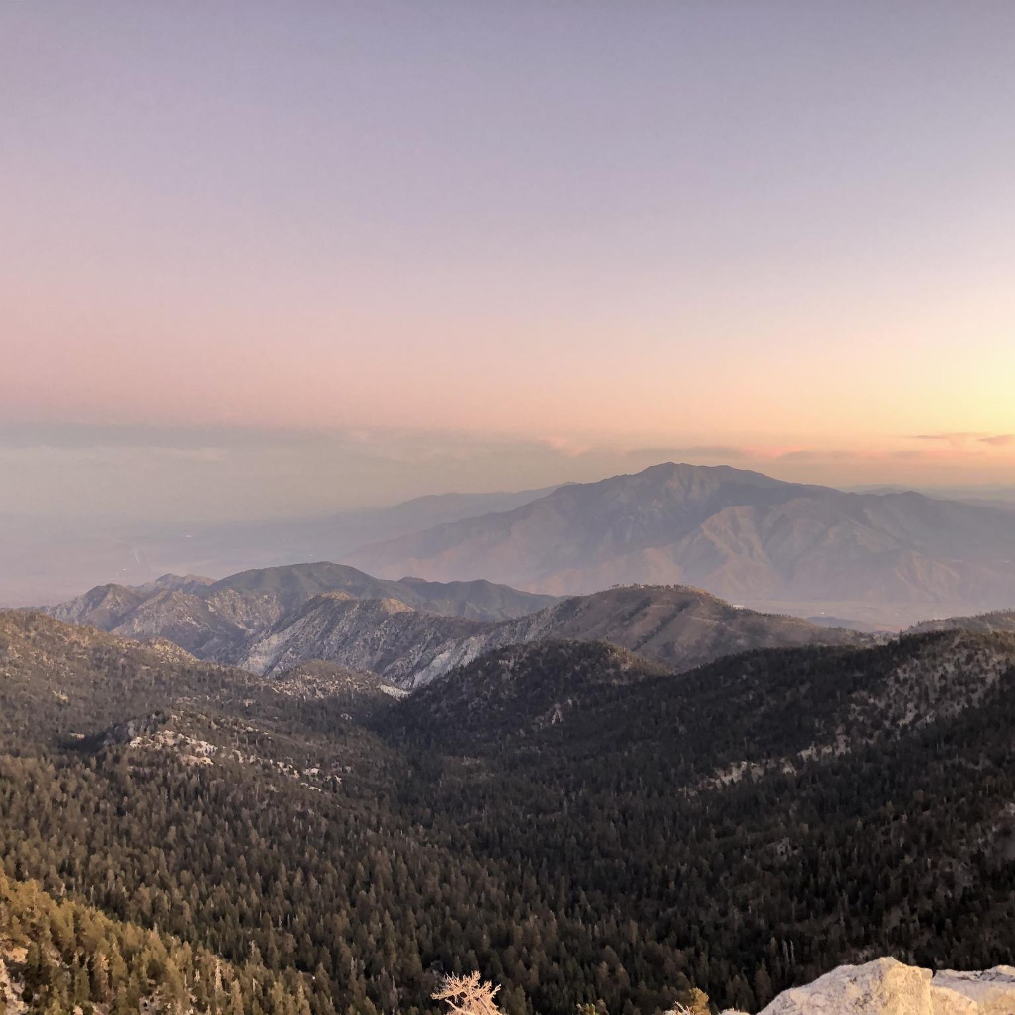
San Gorgonio Mountain, also called Mount San Gorgonio or Old Greyback, is the highest peak in Southern California, standing at 11,503 feet. The mountain has a pyramid-like shape, with a steep north face and a gentler south face. On clear days, hikers can enjoy expansive 360-degree views of San Gorgonio Wilderness and even the Pacific Ocean.
0
0
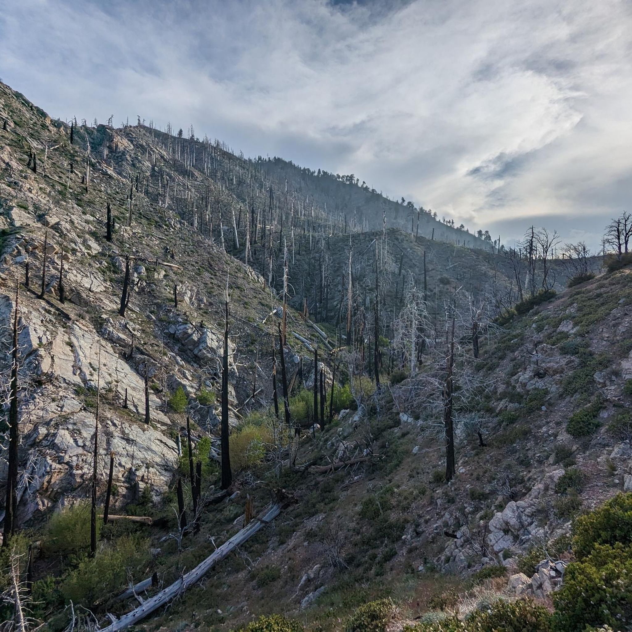
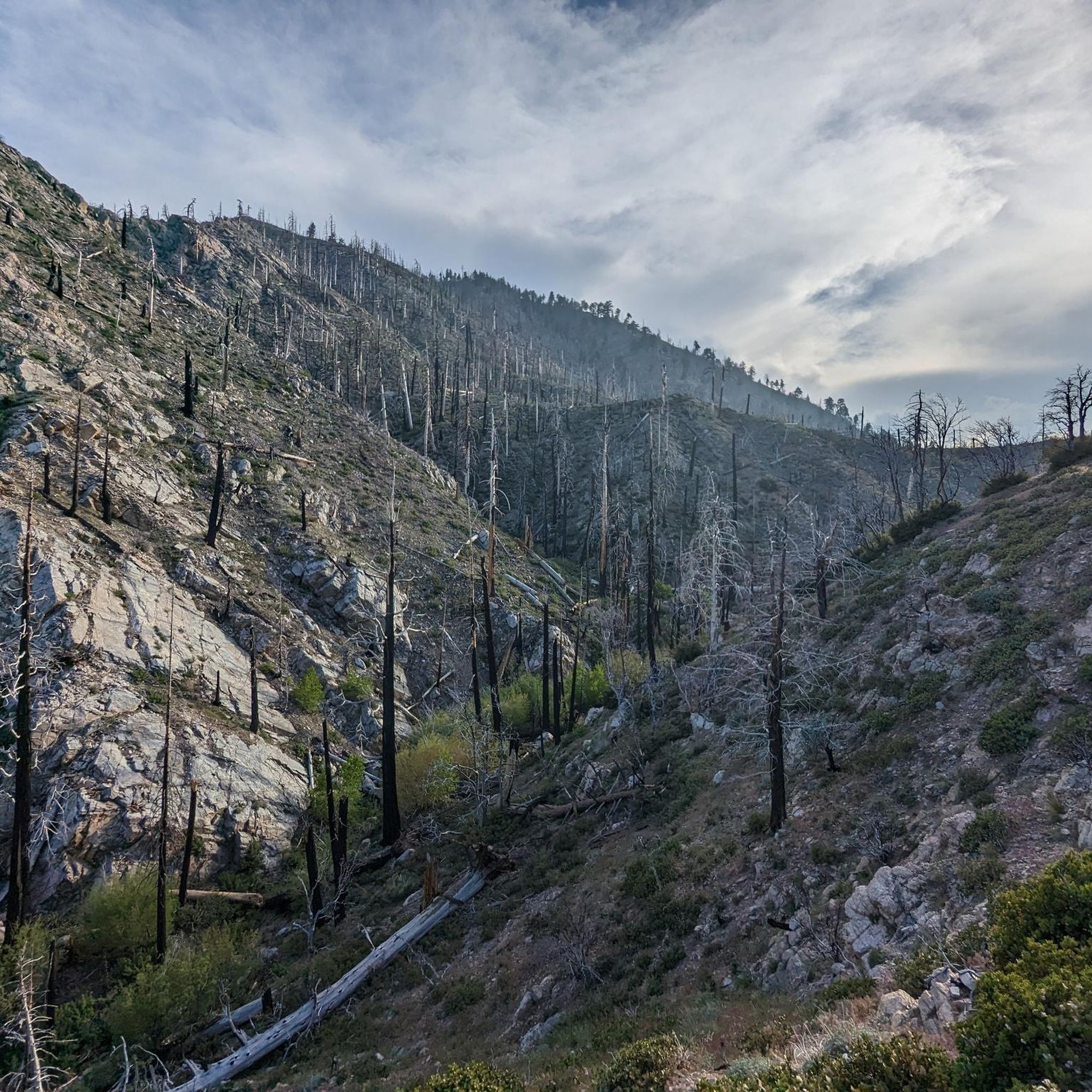
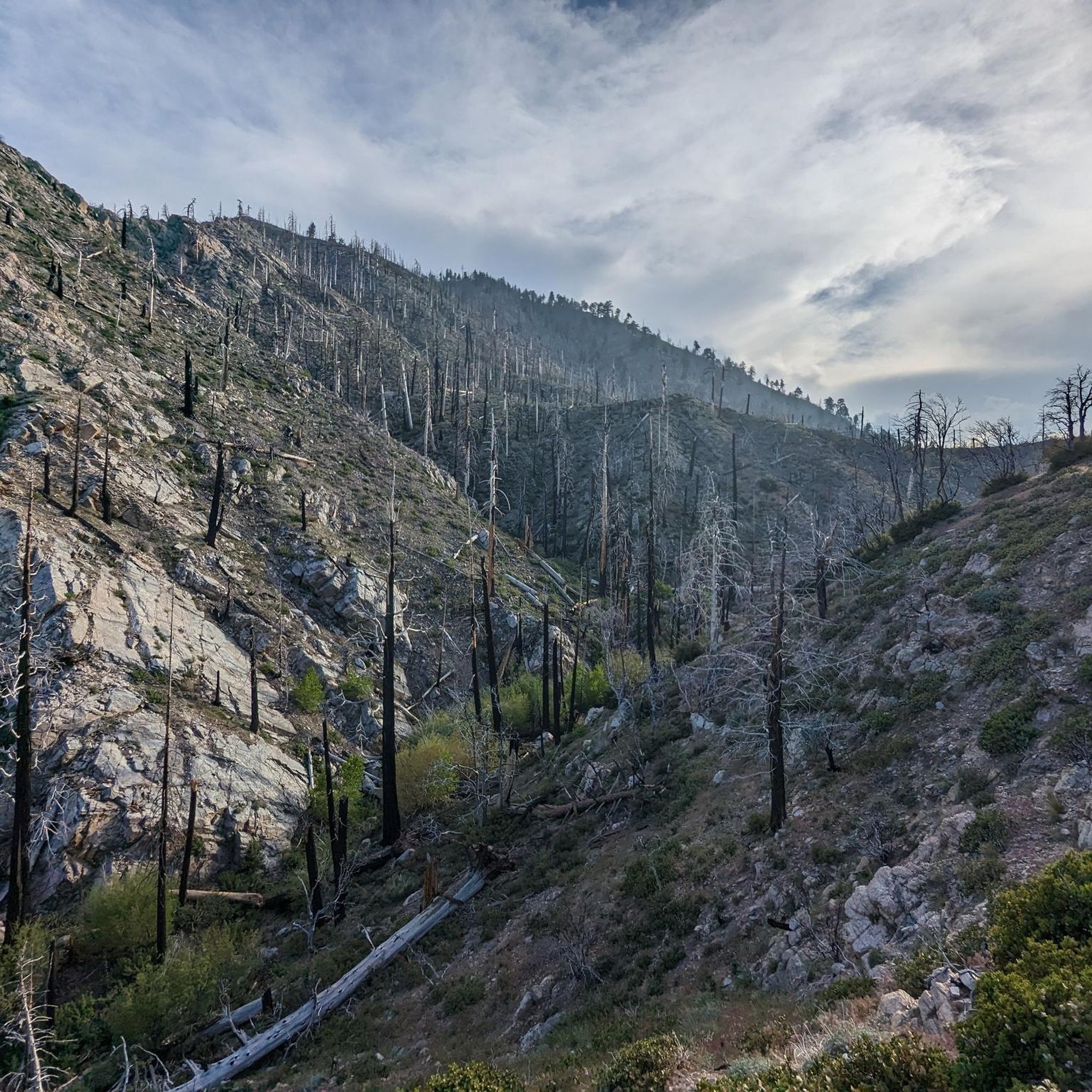
The San Bernardino Peak Divide Trail offers stunning views of the San Gorgonio Wilderness, but hikers must obtain a permit for day and overnight use. Although beautiful, the trail shows the effects of past wildfires, and hikers should prepare for a 13+ mile stretch with no water, depending on snowmelt. The trail can be dangerous in snowy conditions, so bring any necessary equipment or wait for the summer months when the snow melts.
0
0

The preserve encapsulates a serene mountain marsh with sedge, grasses, and endangered bluegrass and checkerbloom. The lake is azure and pillars of quartz monzonite decorate the landscape.
0
0
You need a decent off-road vehicle to make it up the road to the trailhead. Once you are here you can hike up Sugarloaf, through Green Canyon, south a quarter mile to Wildhorse Spring or up the spur road to a Yellow Post campsite.
0
0
As you ascend the ridge you get fantastic views towards Mount Gorgonio, Grinnell, and the rest of the San Bernardino range.
0
0
There is a small dirt loop at the end of Pine Lane with room for a few cars to park. From here you have access to a network of trails in Sands Canyon. There are plenty of trails to choose from to customize your hike, but the main trail that takes you up to Sands Canyon Road is marked by gravel surfacing.
0
0
Frequently Asked Questions
How many running routes are available in Sand to Snow National Monument?
There are currently 5 highly-rated running routes available in Sand to Snow National Monument, catering to various skill levels from easy to difficult. These routes are popular among the komoot community, with over 40 runners having explored the area.
Are there running routes suitable for beginners or those looking for an easy jog?
Yes, Sand to Snow National Monument offers easy jogging routes perfect for beginners or a relaxed run. A great option is the Castle Rock and Bluff Lake Trail, an easy 3.0-mile (4.8 km) path that provides a scenic experience through woodlands and near lake features.
What are some of the more challenging running routes in the monument?
For experienced trail runners seeking a challenge, the monument offers several demanding routes. The Jepson Peak – Mount San Gorgonio Summit loop from South Fork trailhead parking lot is a difficult 20.7-mile (33.3 km) trail leading through high-elevation alpine forests. Another strenuous option is the Poopout Hill – Mount San Gorgonio Summit loop from South Fork trailhead parking lot, a 22.1-mile (35.6 km) route with significant elevation gain.
Can I bring my dog on the jogging trails in Sand to Snow National Monument?
Many trails within Sand to Snow National Monument are dog-friendly, but it's always best to check specific trail regulations before heading out. Generally, dogs are permitted on leash on most trails, especially in areas managed by the Bureau of Land Management. Always ensure your dog is well-behaved and that you clean up after them.
Are there any family-friendly running options in the area?
Yes, the monument has options suitable for families. Easy, shorter trails like the Castle Rock and Bluff Lake Trail are great for a family jog, offering pleasant scenery without extreme difficulty. The Big Morongo Canyon Preserve also features easy routes through a vibrant desert oasis habitat.
What kind of natural features or landmarks can I expect to see while running?
Sand to Snow National Monument boasts incredible biodiversity and dramatic landscapes. You can experience everything from lowland desert flora to alpine forests. Notable features include the Whitewater River, the unique Red Dome basalt formation visible on the Whitewater River & Red Dome via PCT route, and the lush oasis of Big Morongo Canyon Preserve. At higher elevations, you'll encounter alpine conifer forests and potentially views of Mount San Gorgonio Summit, Southern California's highest peak.
Are there any running routes that feature water or riparian areas?
Absolutely. The monument is unique for its riparian forests and freshwater marshes, even within its desert landscape. The Whitewater River & Red Dome via PCT route follows the refreshing Whitewater River. Big Morongo Canyon Preserve is another excellent spot, known for its rare desert oasis habitat with vital water sources and lush vegetation.
What wildlife might I encounter while jogging in the monument?
The monument is home to diverse wildlife due to its varied ecosystems. You might spot over 240 bird species, including migratory birds in preserves like Big Morongo Canyon. Larger mammals such as bighorn sheep and black bears also inhabit the area, particularly in higher elevations. Keep an eye out for unique desert flora and fauna.
When is the best time of year to go running in Sand to Snow National Monument?
The best time to run depends on the elevation. Lower desert areas are ideal during the cooler months from fall through spring (October to April), avoiding the intense summer heat. Higher elevation trails, especially those leading to San Gorgonio Mountain, are best enjoyed in late spring, summer, and early fall (May to October) once snow has melted and before winter conditions set in. Always check weather forecasts and trail conditions before your run.
Are there any circular running routes available?
Yes, there are circular running routes for those who prefer loops. For instance, the challenging Jepson Peak – Mount San Gorgonio Summit loop from South Fork trailhead parking lot offers a significant high-elevation loop experience. The Whitewater Canyon Preserve also features the Whitewater Canyon View Loop Trail, a moderate 4.2-mile route.
Do I need a permit or reservation to access trails in Sand to Snow National Monument?
Some areas within the monument, particularly those in the San Gorgonio Wilderness, may require permits for day use or overnight stays, especially during peak seasons. It's crucial to check with the managing agencies (such as the US Forest Service or BLM) for the specific trail you plan to run, as regulations can vary. For more information, you can visit the BLM's official Sand to Snow National Monument page.
Are there parking facilities available at the trailheads?
Yes, most popular trailheads within Sand to Snow National Monument, such as those for Whitewater Canyon Preserve and the South Fork trailhead for San Gorgonio Mountain access, offer designated parking areas. However, parking can fill up quickly during busy weekends, so arriving early is recommended. Some areas might require a Adventure Pass for parking, so check local regulations.
Most popular routes in Sand To Snow National Monument
Most popular attractions in Sand To Snow National Monument

Get inspired with the komoot mobile app


Didn’t find what you were looking for?
Check out more Running Trails & Routes throughout Sand To Snow National Monument below and find the perfect route in your destination.
Explore more
Browse the best Running Trails & Routes in other regions.
