The best MTB trails in Browns Canyon National Monument
4.0
(1)
44
riders
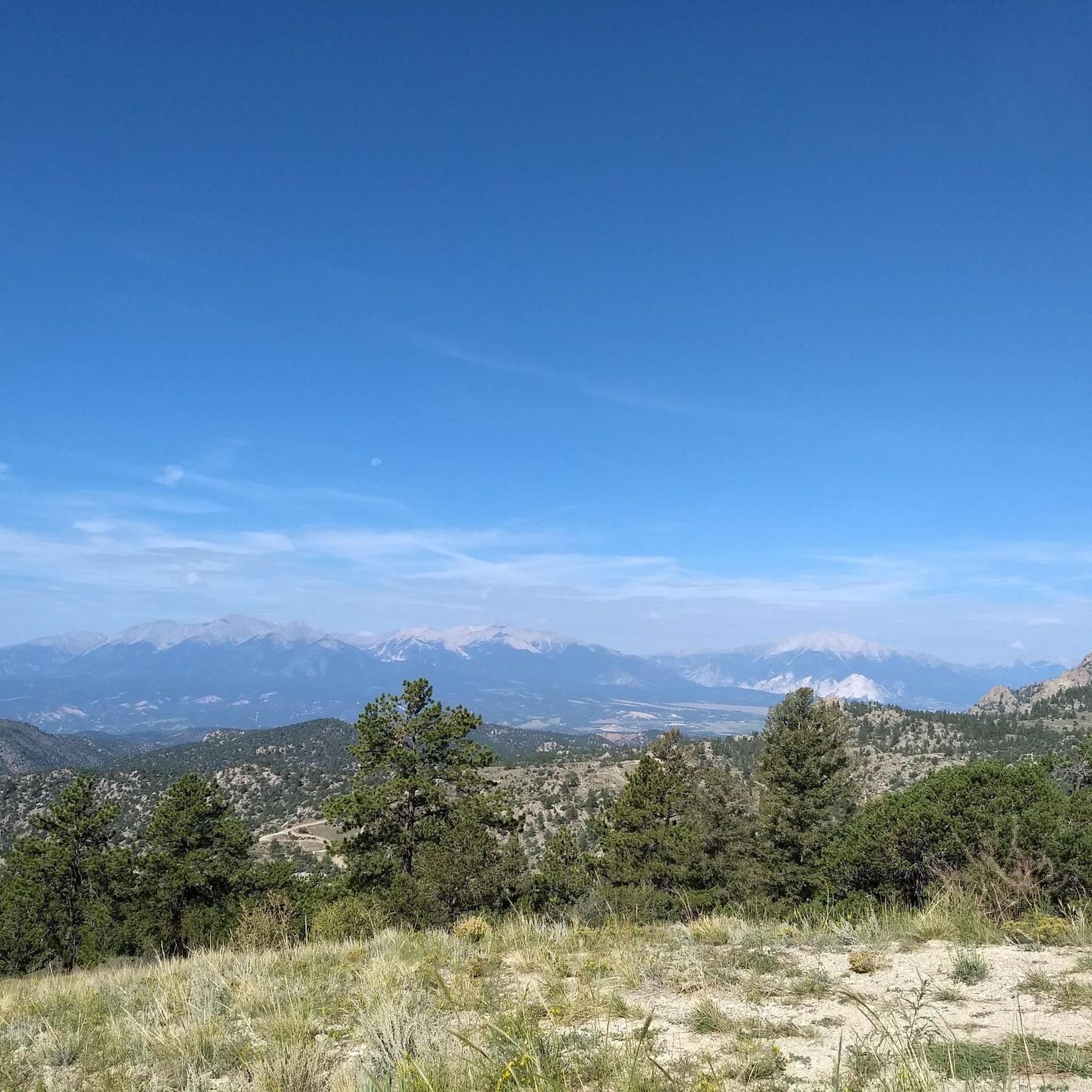
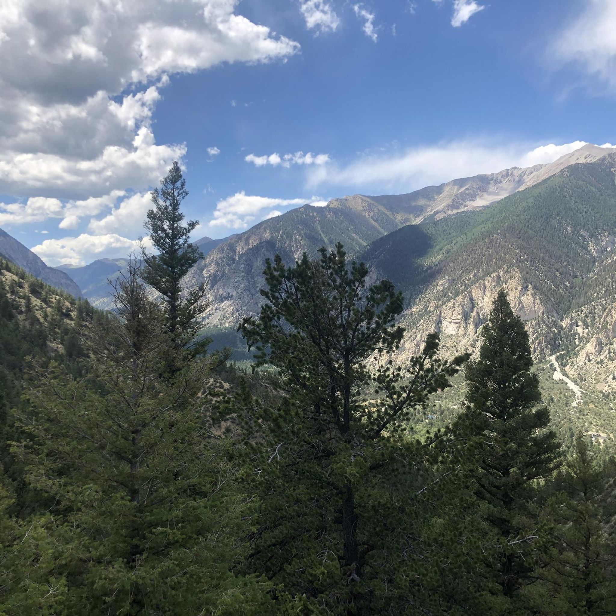
Mountain biking in Browns Canyon National Monument offers exploration across diverse landscapes, including pristine canyons, the Arkansas River, and backcountry forests. The terrain features rugged granite cliffs and colorful rock outcroppings, with elevations ranging from 7,300 feet to 10,000 feet. This area provides panoramic views of the Arkansas Valley and the Sawatch Range, making it a compelling destination for mountain bikers. Specific routes like Hefley Saddle Trail and Turret Road are available for manually powered mountain bikes.
Best mountain bike…
Last updated: July 20, 2026
4.0
(1)
7
riders
17.8km
01:44
330m
340m
Moderate mountain bike ride. Good fitness required. Advanced riding skills necessary.
5
riders
46.6km
05:27
1,760m
1,760m
Hard mountain bike ride. Very good fitness required. Advanced riding skills necessary. Some portions of the route may require you to push your bike.

Sign up for free
2
riders
26.4km
03:35
1,280m
1,280m
Hard mountain bike ride. Very good fitness required. Advanced riding skills necessary. Some portions of the route may require you to push your bike.
25
riders
58.2km
05:34
1,240m
1,250m
Hard mountain bike ride. Very good fitness required. Advanced riding skills necessary. Some portions of the route may require you to push your bike.
5
riders
Moderate mountain bike ride. Great for any fitness level. Advanced riding skills necessary.
Our route recommendations are based on thousands of hikes, rides, and runs completed by other people on komoot.
Start today with a free account
Your next adventure awaits.
Login or Signup
Popular around Browns Canyon National Monument
Tips from the Community

This section of trail is mostly above treeline and will definitely keep you on your toes. It's pretty rocky in sections, but rideable with good bike handling skills.
0
0
Midland Bike Trail is mostly flat smooth singletrack trail and follows a section of the former Midland Railroad. However there are a few short technical spots where the bridges have been removed. There are some stunning wide open views of the Collegiate Peaks and the town of Buena Vista.
0
0

Take this trail if you want to reach Pauli Trail and then Uncle Nazty Trail.
1
0
Super fun trail with lots of techy uphill features if you ride towards CR 175. The trail can be ridden in both directions and is easier – and more fun – if you start at CR 175.
1
1

Trailhead to the excellent dedicated bike Trail along the south bank of the Arkansas River
0
0
Northern trailhead of this fun trail system on the eastern side of Salida
2
1

Downtown Salida is listed on the National Register of Historic Places. Due to the cool summers and relatively mild winters, the area around Salida is nicknamed the "banana belt" of Colorado. As the city is attractive, you will also find in addition to the historical buildings many art galleries. The old town is located on the edge of the Arkansas, which makes it particularly pleasant.
1
0
Burn Pile Trail was rebuilt in 2016. Now, it is a fun, flowy downhill. It is also allowed to climb Burn Pile Trail.
0
0
Frequently Asked Questions
What kind of terrain can I expect when mountain biking in Browns Canyon National Monument?
Mountain biking in Browns Canyon National Monument offers a diverse landscape, featuring rugged granite cliffs, colorful rock outcroppings, and backcountry forests. Elevations range significantly from 7,300 feet to 10,000 feet, providing stunning panoramic views of the Arkansas Valley and the majestic Sawatch Range. Trails vary from moderate to difficult, with some routes requiring advanced skills and good fitness.
Are there mountain bike trails suitable for beginners or families in Browns Canyon National Monument?
While many trails in Browns Canyon National Monument require good fitness and advanced skills, some sections of routes like the Little Browns Creek loop offer a range of difficulties, including easier segments. For true beginners or families, it's advisable to research specific trail conditions and elevation profiles carefully, as the monument's terrain is generally rugged.
What are some challenging mountain bike routes in Browns Canyon National Monument?
For experienced riders seeking a challenge, the Mount Antero loop — Buena Vista is a difficult 28.9-mile path demanding very good fitness and advanced skills, with sections that may require pushing your bike. The Little Browns Creek loop — San Isabel National Forest also features difficult sections over its 16.4 miles.
How long do mountain bike trails typically take in Browns Canyon National Monument?
Trail durations vary significantly based on length and difficulty. For example, the Shield's Gulch loop — Buena Vista, at 11.1 miles, typically takes around 1 hour 43 minutes. More challenging routes like the Mount Antero loop — Buena Vista (28.9 miles) can take over 5 hours, while the Little Browns Creek loop (16.4 miles) often takes about 3 hours 38 minutes.
Can I mountain bike on Hefley Saddle Trail?
Yes, manually powered mountain bikes are permitted on specific routes within Browns Canyon National Monument, including the Hefley Saddle Trail. This trail offers an opportunity to explore the monument's remote and rugged interior.
What is the Turret Road (Forest Service Road 184) like for mountain biking?
Turret Road (Forest Service Road 184) is a rugged dirt path that allows manually powered mountain bikes, providing deeper access into Browns Canyon National Monument. It's important to note that this road also permits motorized traffic.
Are there any loop trails for mountain biking in Browns Canyon National Monument?
Yes, several popular mountain biking routes in the area are loop trails. Examples include the Shield's Gulch loop — Buena Vista, the Mount Antero loop — Buena Vista, and the Little Browns Creek loop — San Isabel National Forest.
Is parking available for mountain bikers in Browns Canyon National Monument?
While specific parking areas for mountain bikers within the monument are not extensively detailed, access points to trails often have designated parking. For river access and some campgrounds, the Arkansas Headwaters Recreation Area (AHRA) manages facilities at locations like Ruby Mountain and Hecla Junction, which may offer parking options.
Are permits required for mountain biking in Browns Canyon National Monument?
Generally, permits are not required for mountain biking on designated trails within Browns Canyon National Monument. However, it's always advisable to check the latest regulations from the Bureau of Land Management (BLM) or Forest Service, who jointly manage the monument, to ensure compliance.
Can I bring my dog mountain biking in Browns Canyon National Monument?
Browns Canyon National Monument is generally dog-friendly, but specific regulations may apply to certain trails or areas. It's best to keep dogs on a leash and ensure you pack out all waste. Always check for any posted restrictions at trailheads or on official BLM/Forest Service websites before heading out with your pet.
What is the best time of year to go mountain biking in Browns Canyon National Monument?
The best time for mountain biking in Browns Canyon National Monument is typically from late spring through early fall (May to October), when trails are clear of snow and weather conditions are favorable. Summer offers warm temperatures, while spring and fall provide cooler riding conditions and potentially fewer crowds. Always check local weather and trail conditions before your ride, especially at higher elevations.
Are there places to eat or stay near Browns Canyon National Monument?
Yes, the towns of Buena Vista and Salida, located near Browns Canyon National Monument, offer a variety of amenities including cafes, pubs, and accommodation options. These towns are popular hubs for outdoor enthusiasts and provide convenient services for mountain bikers visiting the area.
What natural features or landmarks can I see while mountain biking in Browns Canyon National Monument?
Mountain biking in Browns Canyon National Monument offers stunning views of the Arkansas River, which carves through rugged granite cliffs and colorful rock outcroppings. You'll also experience diverse landscapes, from pristine canyons to backcountry forests, with panoramic views of the Arkansas Valley and the majestic Sawatch Range, including peaks like Mount Yale, Mount Princeton, and Mount Antero.
Most popular routes in Browns Canyon National Monument

Get inspired with the komoot mobile app


Explore more
Browse the best MTB trails in other regions.
