The best running trails in Ozark-St. Francis National Forest
50
runners
8
runs
Jogging in Ozark-St. Francis National Forest offers diverse landscapes for runners. The region features verdant hardwood and pine forests, glistening mountain streams, and varied elevations. Joggers can experience terrain ranging from rolling hills to steeper ascents, providing both challenging workouts and scenic views. The forest is characterized by its rugged terrain, particularly in the Ozark Mountains section.
Best jogging routes in Ozark-St. Francis National Forest
- The most popular jogging route is Suspension Bridge over Lee Creek loop from Devil's Den…
Last updated: July 27, 2026
13
runners
24.4km
03:14
580m
590m
Hard run. Very good fitness required. Sure-footedness, sturdy shoes and alpine experience required.
7
runners
7.96km
00:59
210m
210m
Moderate run. Good fitness required. Mostly paved surfaces. Suitable for all skill levels.

Sign up for free
6
runners
10.1km
01:15
100m
100m
Hard run. Good fitness required. Sure-footedness, sturdy shoes and alpine experience required.
6
runners
9.28km
00:58
20m
20m
Moderate run. Good fitness required. Mostly paved surfaces. Suitable for all skill levels.
3
runners
6.34km
00:39
30m
30m
Moderate run. Good fitness required. Mostly paved surfaces. Suitable for all skill levels.
Get access to more routes and recommendations from other explorers.
Sign up for free
Already have an account?
Our route recommendations are based on thousands of hikes, rides, and runs completed by other people on komoot.
Start today with a free account
Your next adventure awaits.
Login or Signup
Popular around Ozark-St. Francis National Forest
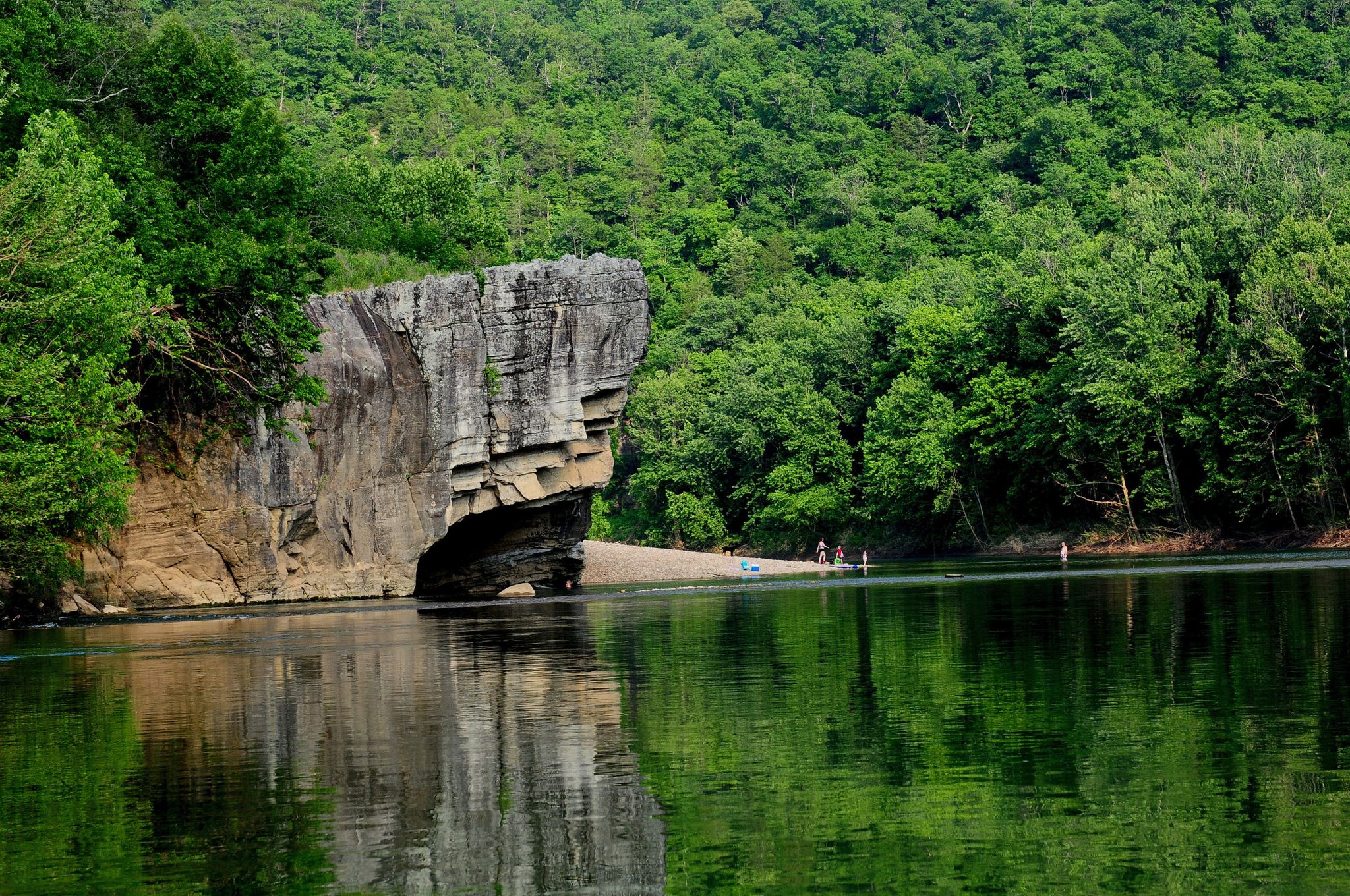
Ozark Highlands Trail: Falling Water Creek Trailhead to Dillard's Ferry — Hiking the Buffalo River corridor
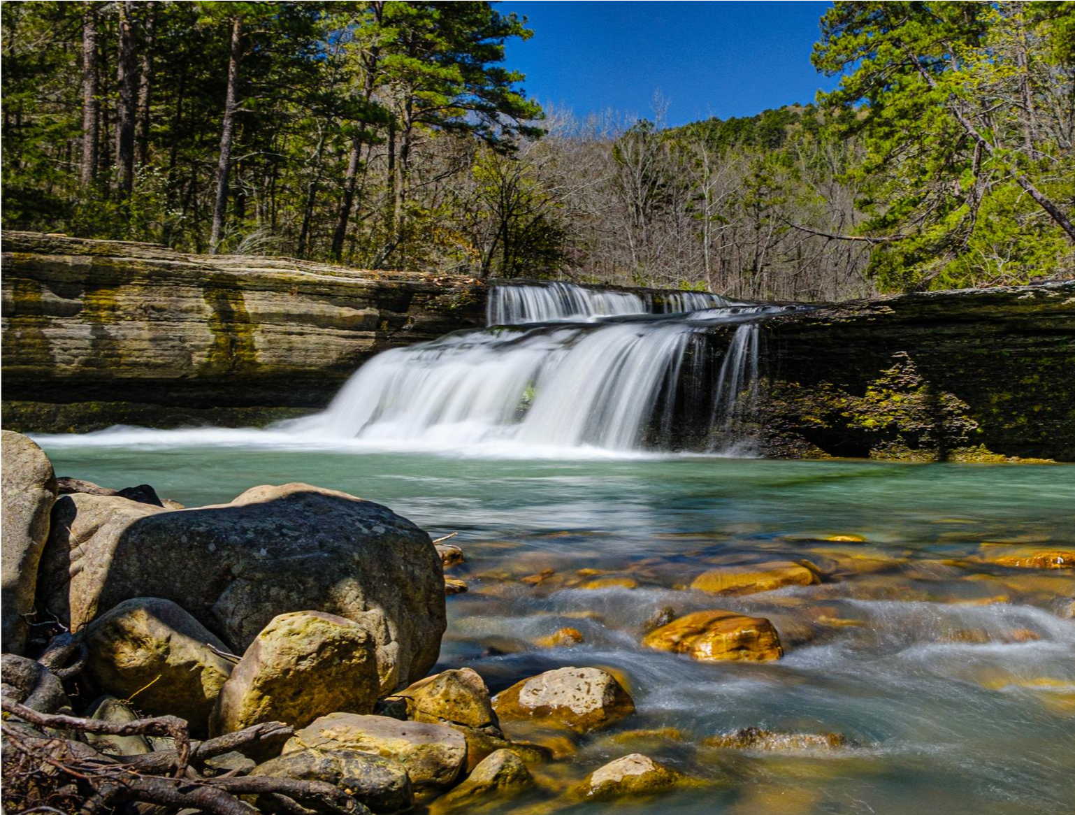
Ozark Highlands Trail — 200 miles of backcountry beauty
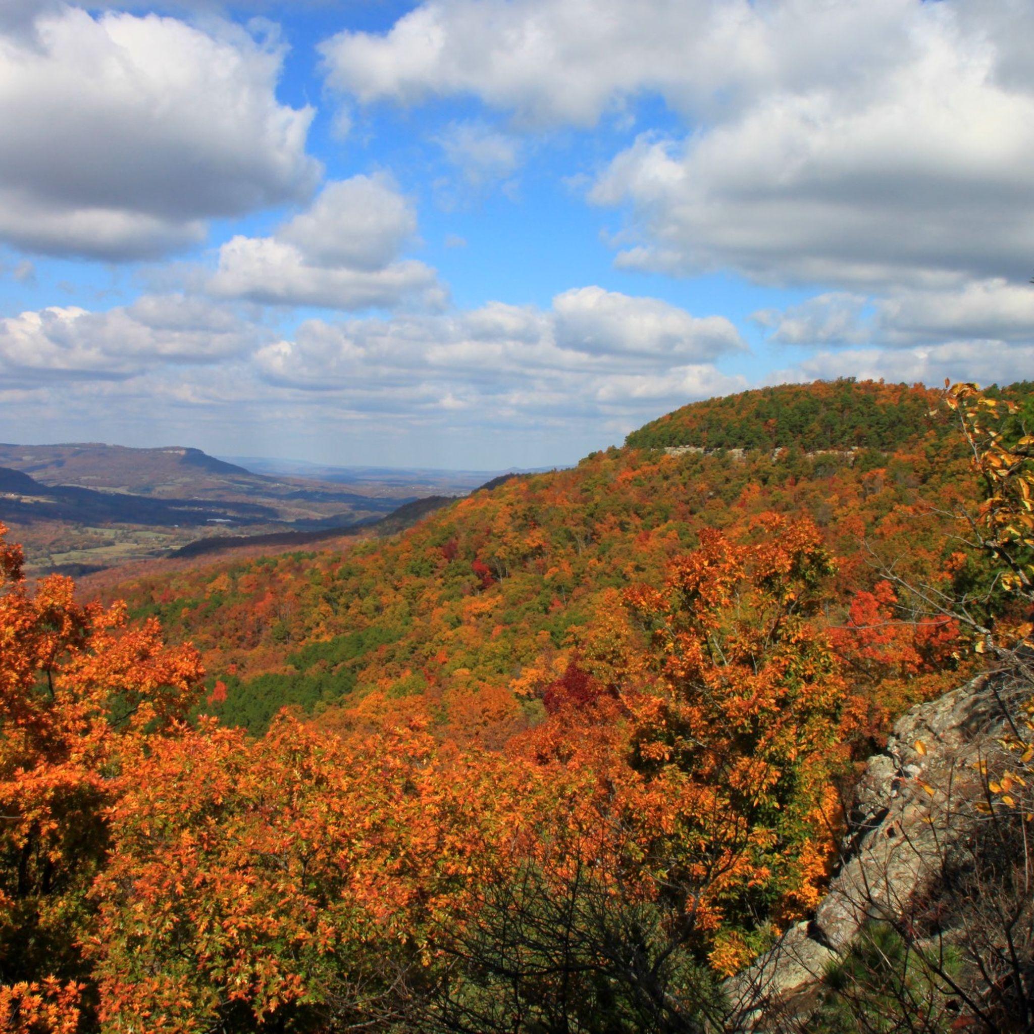
Hiking in Ozark-St. Francis National Forest
MTB Trails in Ozark-St. Francis National Forest
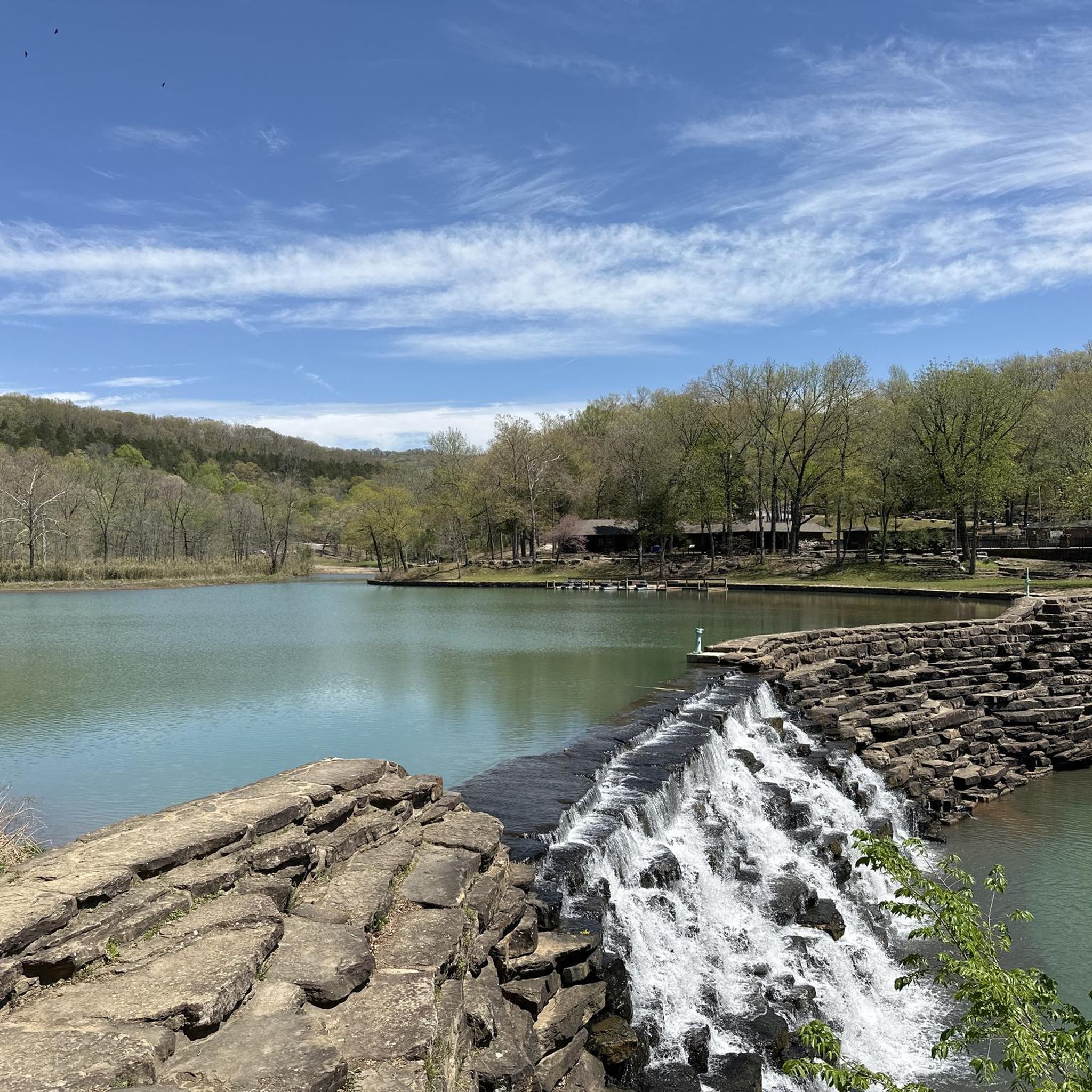
Cycling in Ozark-St. Francis National Forest
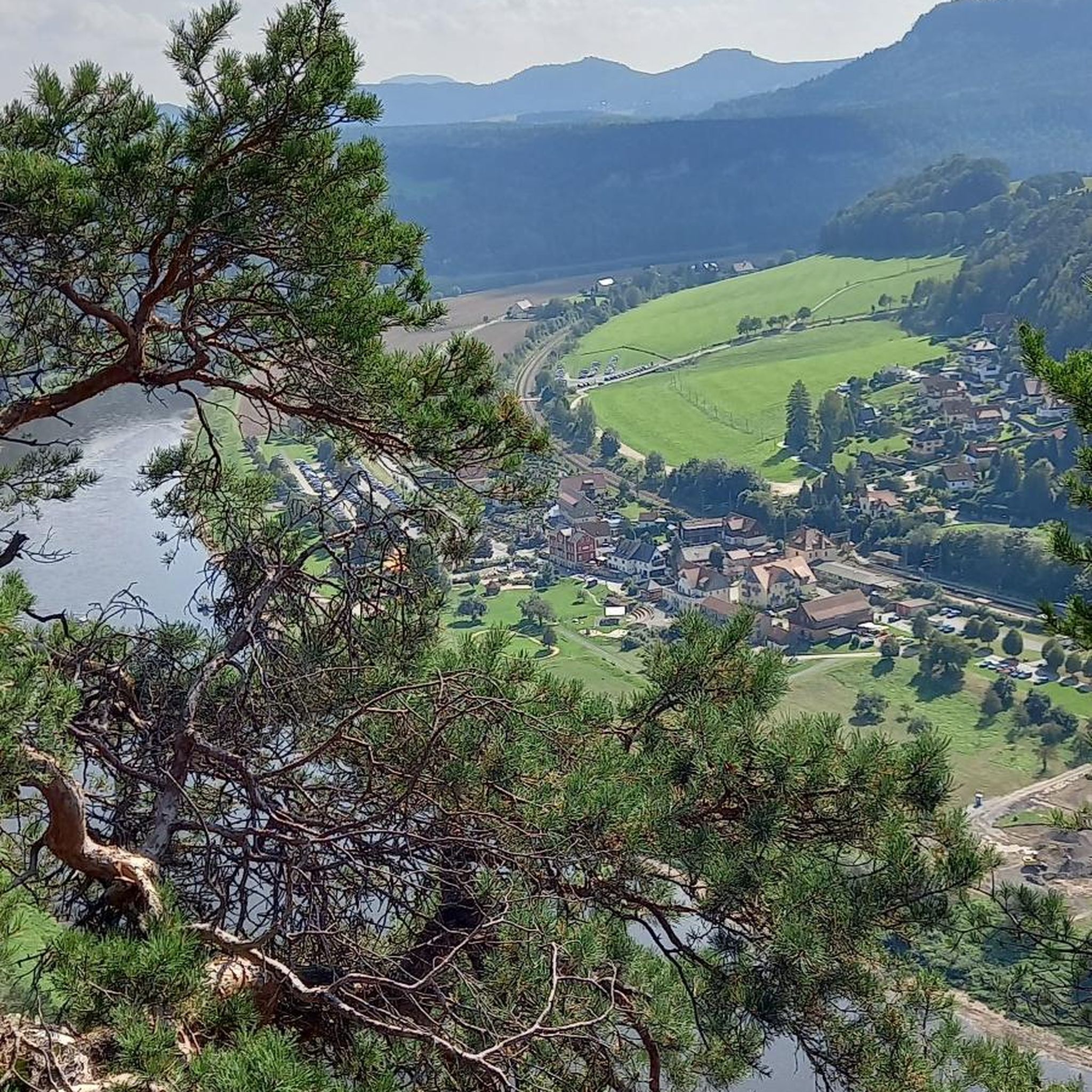
Road Cycling Routes in Ozark-St. Francis National Forest

Gravel biking in Ozark-St. Francis National Forest
Other adventures in Ozark-St. Francis National Forest

Tips from the Community

Section of the Devil's Den trail system that follows bluff lines and takes you through rock gardens and along waterfalls.
0
0
This 30 foot long pedestrian suspension bridge was built in the 1930's by the Civlian Conservation Corps. It is just south of the Welcome Center for Devil's Den State Park.
1
0

Frequently Asked Questions
How many running routes are available in Ozark-St. Francis National Forest?
The Ozark-St. Francis National Forest offers a network of 8 dedicated running routes on komoot, ranging from moderate to difficult. Many of these trails are also part of the extensive 395 miles of hiking trails, providing diverse options for runners.
Are there any easy jogging trails suitable for beginners or families?
While the guide primarily features moderate to difficult routes, the Ozark-St. Francis National Forest does offer accessible options. For a less strenuous jog with rewarding vistas, consider the easy 2-mile rim trail around White Rock Mountain. The Lake Wedington Recreation Area loop from Lake Wedington is a moderate 3.4-mile (5.5 km) path that could be suitable for those looking for a gentler experience.
Where can I find loop running routes in the Ozark-St. Francis National Forest?
Many of the routes in the Ozark-St. Francis National Forest are designed as loops, offering a convenient running experience. Examples include the Devil's Racetrack loop from Devil's Den State Park, a moderate 5.0-mile (8.0 km) path, and the Bona Dea Trails and Sanctuary loop from Arkansas Tech University, which is a moderate 5.8-mile (9.3 km) route.
Are there any challenging running trails for experienced runners?
Yes, the Ozark-St. Francis National Forest provides several challenging routes. The Suspension Bridge over Lee Creek loop from Devil's Den State Park is a difficult 15.2-mile (24.4 km) trail with significant elevation changes, perfect for those seeking a rigorous workout. Another difficult option is the Mannon Homesite loop from Devil's Den State Park, a 6.3-mile (10.1 km) trail through dense woodlands.
What kind of natural features or landmarks can I expect to see along the running routes?
The forest is rich in natural beauty. You can encounter unique rock formations at the Alum Cove Natural Bridge and Rock Formations, or discover waterfalls like Lake Trail - Devil's Den State Park and Haw Creek Falls Recreation Area. The varied terrain includes verdant hardwood and pine forests, glistening mountain streams, and scenic overlooks offering expansive views of hills and valleys.
Are there any waterfalls or water features along the running trails?
Absolutely. The Ozark-St. Francis National Forest is known for its numerous waterfalls and streams. You can find beautiful waterfalls near Mulberry Mountain, Frog Bayou, and along various creek beds. Highlights like Lake Trail - Devil's Den State Park and Haw Creek Falls Recreation Area are specific examples of water features you might encounter.
What is the best time of year to go jogging in the Ozark-St. Francis National Forest?
The forest offers beautiful scenery year-round. Spring brings vivid displays of dogwoods and redbuds, while fall showcases stunning foliage with a palette of oranges, reds, and yellows, making these seasons particularly picturesque for running. The diverse landscapes provide a beautiful backdrop in any season.
Are the running trails in Ozark-St. Francis National Forest dog-friendly?
Many trails within the Ozark-St. Francis National Forest are dog-friendly, allowing you to bring your canine companion along for a run. It's always recommended to keep dogs on a leash and to check specific trail regulations before heading out to ensure a pleasant experience for everyone.
What do other runners say about jogging in Ozark-St. Francis National Forest?
Over 50 runners have used komoot to explore the varied terrain of Ozark-St. Francis National Forest. They often praise the diverse landscapes, from rolling hills to steeper ascents, and the scenic views that provide both challenging workouts and beautiful surroundings. The extensive trail system and natural features like mountain streams and forests are frequently highlighted as enjoyable aspects.
Are there good options for long-distance running in the forest?
Yes, the Ozark-St. Francis National Forest is home to the Ozark Highlands Trail, which is the longest hiking path in the forest, stretching for 165 miles. While this is a multi-day trek, sections of it can be used for long-distance running. For a significant single-day run, the Suspension Bridge over Lee Creek loop from Devil's Den State Park offers a challenging 15.2-mile (24.4 km) route.
Are there any viewpoints or scenic overlooks along the running routes?
Yes, the forest offers numerous opportunities for scenic views. Throughout the forest, especially along trails like the Shores Lake Loop Trail or near Mulberry Mountain, joggers can encounter expansive views of hills and valleys. White Rock Mountain also features an easy 2-mile rim trail around the mountain top with rewarding vistas.
Most popular routes in Ozark-St. Francis National Forest
Most popular attractions in Ozark-St. Francis National Forest

Get inspired with the komoot mobile app


Explore more
Browse the best Running Trails & Routes in other regions.
