The best cycling routes in Columbia River Gorge National Scenic Area
4.7
(28)
692
riders
49
rides
Touring cycling in Columbia River Gorge National Scenic Area offers routes through an 80-mile canyon characterized by dramatic basalt cliffs and the Columbia River. The region transitions from verdant forests with numerous waterfalls in the west to drier, more arid plateaus in the east. This diverse landscape provides varied terrain for cycling, including dedicated car-free paths and routes with significant elevation changes.
Best touring cycling routes in Columbia River Gorge National Scenic Area
- The most popular touring cycling route is…
Last updated: November 7, 2026
5.0
(2)
39
riders
34.1km
02:21
600m
600m
If you're seeking a touring cycling adventure that combines stunning natural beauty with a challenging ride, the Historic Columbia River Highway and Memaloose Hills Loop delivers. This difficult 21.2-mile (34.1…
14
riders
44.2km
02:22
640m
640m
Hard bike ride. Very good fitness required. Mostly paved surfaces.

3
riders
23.0km
01:33
350m
350m
2
riders
38.1km
02:47
770m
770m
If you're looking for one of the best bike trails in the Columbia River Gorge, the Historic Columbia River Highway State Trail delivers a unique touring bicycle experience. This difficult…
1
riders
25.3km
01:43
400m
400m
Embark on a delightful touring bicycle ride through the Hood River Valley, where you'll encounter picturesque views of rolling vineyards and patchwork-patterned orchards. This moderate 15.7-mile (25.3 km) loop, with…
Get access to more routes and recommendations from other explorers.
Already have an account?
Our route recommendations are based on thousands of hikes, rides, and runs completed by other people on komoot.
Start today with a free account
Your next adventure awaits.
Popular around Columbia River Gorge National Scenic Area

Pacific Crest Trail from Mexico to Canada – 4,200 kilometres of wilderness
Like in the Wild West – hiking on the Oregon Trail
Hiking in Columbia River Gorge National Scenic Area
Road Cycling Routes in Columbia River Gorge National Scenic Area
Running Trails in Columbia River Gorge National Scenic Area
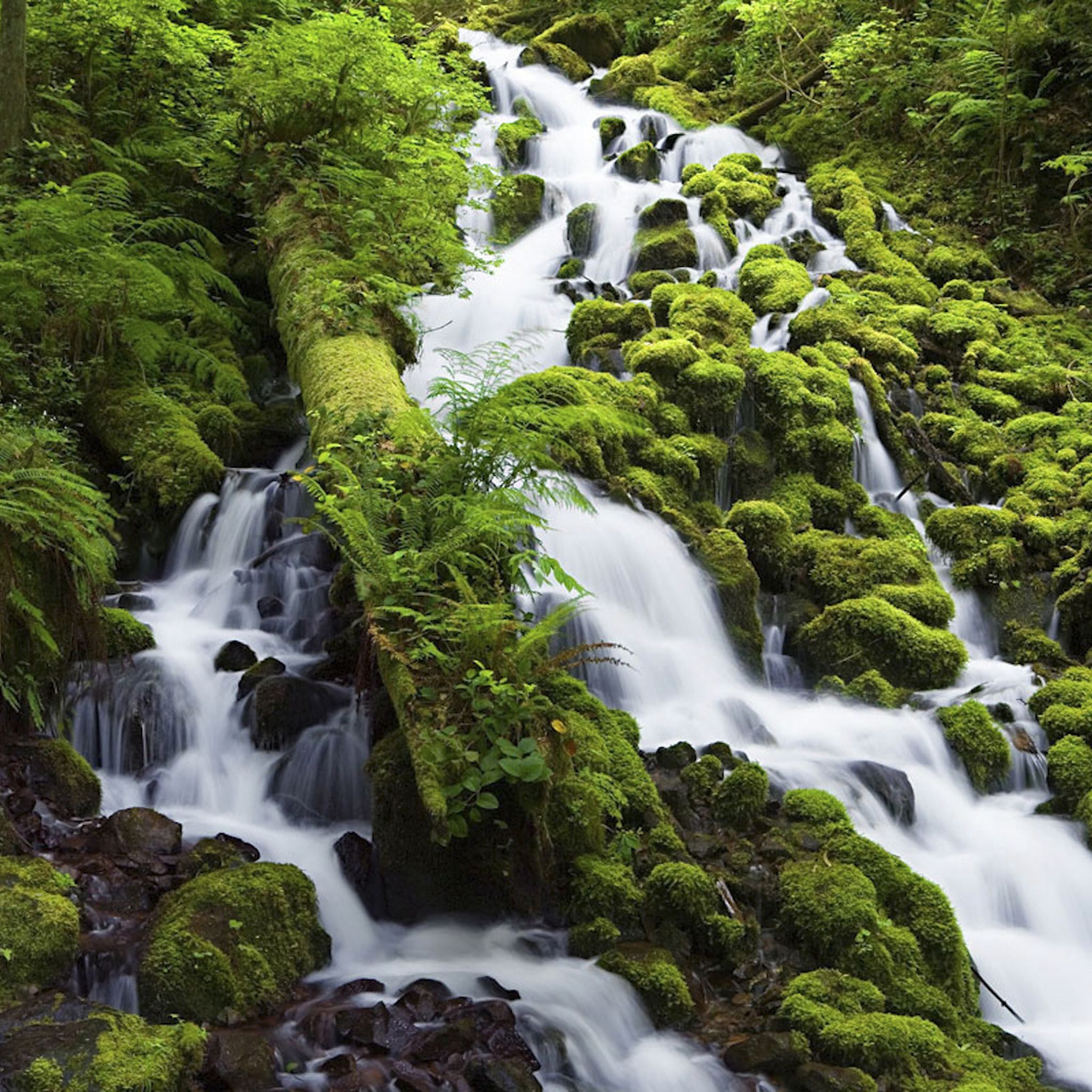
MTB Trails in Columbia River Gorge National Scenic Area
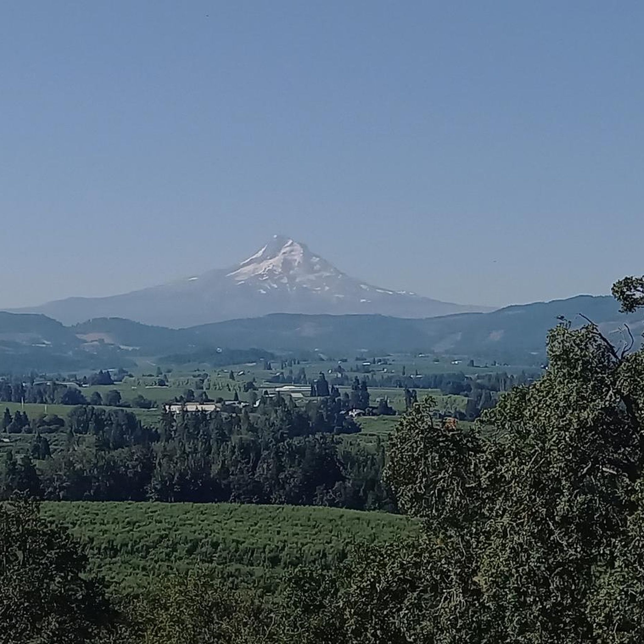
Gravel biking in Columbia River Gorge National Scenic Area
Other adventures in Columbia River Gorge National Scenic Area


Tips from the Community

Mosier is a charming small town along the beautiful Columbia River, surrounded by stunning basalt cliffs. There are lovely restaurants, a cozy coffee shop and a small local market.
0
0

Tollbridge Park is located just a few yards from the famous Bridge of the Gods that spans over the Columbia River to connect the states of Oregon and Washington. There are restrooms and lots of shade if you want to take a break here.
1
0

There are a few good eats and drinks in town, and Thunder Island Brewing is for sure one of them. There are some great home brews on tap, and they can change, so try them while they are in rotation. Dine inside the new taproom or enjoy the views on the outdoor patio, where dogs are welcome to join. Hours: Sun - Thurs 11 a.m. - 8 p.m. Friday and Saturday, 11 a.m. to 9 p.m.
0
0
Oregon has a lot of concrete arch bridges, and many are like this one named Tucker Bridge. They were designed by engineer Conde McCullough, who focused on the aesthetics of bridge design. Tucker Bridge has not been changed much over the years and still has its original railings.
0
0
Ruthton County Park is just above a point jutting into the Columbia River. It was created by ancient lava from a nearby Intracanyon volcano, or possibly from the Quaternary Underwood Mountain volcano across the river. There is a lookout point here, and if you get back on the US 30 heading west and make the next right, you can get to Ruthton Point.
0
0
Wah Gwin Gwin Falls is also known as Lullaby Falls, or in the Native language, the Place of Rushing Waters. It is technically located on the grounds of the Columbia Gorge Hotel and is easy to find just off exit 62. It has a height of 207 feet and flows into the Colombia River gorge.
0
0
The Gorge White House is a winery that has hard cider, craft cider, a farm fresh food fart, a fruit stand, U-Pick fruit and flowers, mountain views, and picnic bench-style outdoor seating. It is on over 30 acres of orchard. Visitors do not need a reservation or dress code. Grab some artisanal farm-fresh food from the food cart or Hard Ciders & Wines.
0
0
About 50 feet off the highway, the pavement takes riders to an overlook of the Memaloose Hills, called the Memaloose Lookout. Memaloose Overlook has a viewpoint of Memaloose Island and is a great photo opportunity, especially on a clear day.
0
0
Frequently Asked Questions
How many touring cycling routes are available in the Columbia River Gorge National Scenic Area?
There are over 40 touring cycling routes available in the Columbia River Gorge National Scenic Area, catering to various skill levels. You'll find 4 easy routes, 15 moderate routes, and 25 difficult routes to explore.
What kind of terrain and elevation can I expect on touring cycling routes in the Columbia River Gorge?
The Columbia River Gorge offers diverse terrain. In the west, routes often feature verdant forests and numerous waterfalls, while the east transitions to drier, more arid plateaus. You can expect routes with significant elevation changes, as the Columbia River has carved canyon walls up to 4,000 feet high. For example, the Historic Columbia River Highway and Memaloose Hills Loop involves over 590 meters of elevation gain.
Are there easy touring cycling routes suitable for beginners or families?
Yes, there are easy touring cycling routes. The region offers dedicated car-free paths, such as sections of the Historic Columbia River Highway State Trail, which are ideal for beginners and families. While specific family-friendly routes aren't detailed in the data, the presence of 4 easy routes suggests accessible options.
What natural features and landmarks can I see along the touring cycling routes?
The Columbia River Gorge is rich in natural beauty and historical landmarks. You can expect dramatic basalt cliffs, panoramic river views, and numerous waterfalls. Notable attractions include the iconic Multnomah Falls and Benson Bridge, Crown Point with its stunning vistas, and the historic Bridge of the Gods. Other waterfalls like Wiesendanger Falls and Punch Bowl Falls are also accessible.
Are there any circular touring cycling routes in the Columbia River Gorge?
Yes, there are several circular touring cycling routes. For instance, the Historic Columbia River Highway and Memaloose Hills Loop is a popular 34.1 km loop, and the Historic Columbia River Highway State Trail Loop offers a 23.0 km circular ride.
When is the best time of year to go touring cycling in the Columbia River Gorge?
The Columbia River Gorge is beautiful year-round, but late spring is particularly recommended for touring cycling. This is when wildflower displays are vibrant, especially at locations like Rowena Crest. Waterfalls are also especially full in winter and spring, offering spectacular views.
What is the Historic Columbia River Highway State Trail like for cycling?
The Historic Columbia River Highway State Trail is an exceptional feature for touring cyclists. It utilizes portions of the original scenic highway, with several sections exclusively for pedestrians and cyclists, offering car-free riding. Routes like the Historic Columbia River Highway State Trail Loop provide stunning views of the Gorge, waterfalls, and historic bridges, including the Mosier Twin Tunnels.
What do other touring cyclists say about the routes in the Columbia River Gorge?
The touring cycling routes in the Columbia River Gorge National Scenic Area are highly rated by the komoot community, with an average score of 4.6 stars from over 25 reviews. More than 700 touring cyclists have used komoot to explore the varied terrain, often praising the dramatic basalt cliffs, numerous waterfalls, and diverse forests.
Are there options for more challenging touring cycling routes?
Yes, the Columbia River Gorge offers plenty of challenging routes for experienced touring cyclists. With 25 routes classified as difficult, you can find options with significant elevation gain and longer distances. The Bridge of the Gods Ride, for example, is a difficult 44.2 km path with over 630 meters of elevation gain.
Can I find amenities like cafes or shops along the touring cycling routes?
Yes, the region features charming towns like Hood River, which is a hub for outdoor adventure and offers amenities such as craft breweries and fresh seafood. Many routes also showcase vineyards and orchards, and local shops often provide bike rentals and support. E-bike rentals are also widely available, making scenic routes accessible to more riders.
Are there specific routes known for wildflower viewing?
Yes, the Columbia River Gorge is renowned for its wildflower displays, especially in late spring. Locations like Rowena Crest, Catherine Creek, and Dog Mountain are particularly beautiful during this season, offering vibrant backdrops for your touring cycling adventures.
What are the parking options for touring cyclists in the Columbia River Gorge?
While specific parking locations for each route are not detailed, the popularity of the Historic Columbia River Highway State Trail suggests designated parking areas near trailheads. Many state parks and viewpoints along the Gorge typically offer parking facilities for visitors accessing trails and scenic areas.
Is public transport available to access touring cycling routes in the Columbia River Gorge?
Public transport options to access specific cycling routes in the Columbia River Gorge can vary. While the region is well-trafficked by tourists, it's advisable to check local transit services or shuttle options in towns like Hood River for connections to trailheads or specific sections of the Historic Columbia River Highway State Trail.
Most popular routes in Columbia River Gorge National Scenic Area
Most popular attractions in Columbia River Gorge National Scenic Area

Get inspired with the komoot mobile app


Explore more
Browse the best Cycling routes in other regions.
