The best MTB trails in Cibola National Forest
4.9
(39)
563
riders
37
rides
Mountain biking in Cibola National Forest offers diverse landscapes and extensive trail systems across its 1.6 million acres. The region features a dramatic elevation range from approximately 5,000 feet to over 11,000 feet, encompassing various terrains from high Sonoran desert to sub-alpine forests. Mountain ranges like the Sandia, Manzano, and Mt. Taylor provide varied climates and ecological zones, creating opportunities for massive climbs, furious descents, and technically challenging sections. These "sky islands" rise above the surrounding landscape, offering unique habitats…
Last updated: October 2, 2026
70
riders
23.8km
02:18
430m
430m
Moderate mountain bike ride. Good fitness required. Advanced riding skills necessary.
5.0
(8)
42
riders
Hard mountain bike ride. Good fitness required. Advanced riding skills necessary. Some portions of the route may require you to push your bike.

30
riders
12.3km
01:13
240m
240m
Moderate mountain bike ride. Great for any fitness level. Advanced riding skills necessary.
23
riders
10.1km
01:02
230m
230m
Easy mountain bike ride. Great for any fitness level. Suitable for all skill levels.
23
riders
12.5km
01:17
300m
300m
Hard mountain bike ride. Great for any fitness level. Advanced riding skills necessary. Some portions of the route may require you to push your bike.
Get access to more routes and recommendations from other explorers.
Already have an account?
Our route recommendations are based on thousands of hikes, rides, and runs completed by other people on komoot.
Start today with a free account
Your next adventure awaits.
Popular around Cibola National Forest

Great Divide Mountain Bike Route — Cycling the spine of a continent

Grand Enchantment Trail — Slot canyons, spruce peaks & desert solitude

New Mexico Off-Road Runner

Historic Route 66 – curiosities, selfie spots and diners
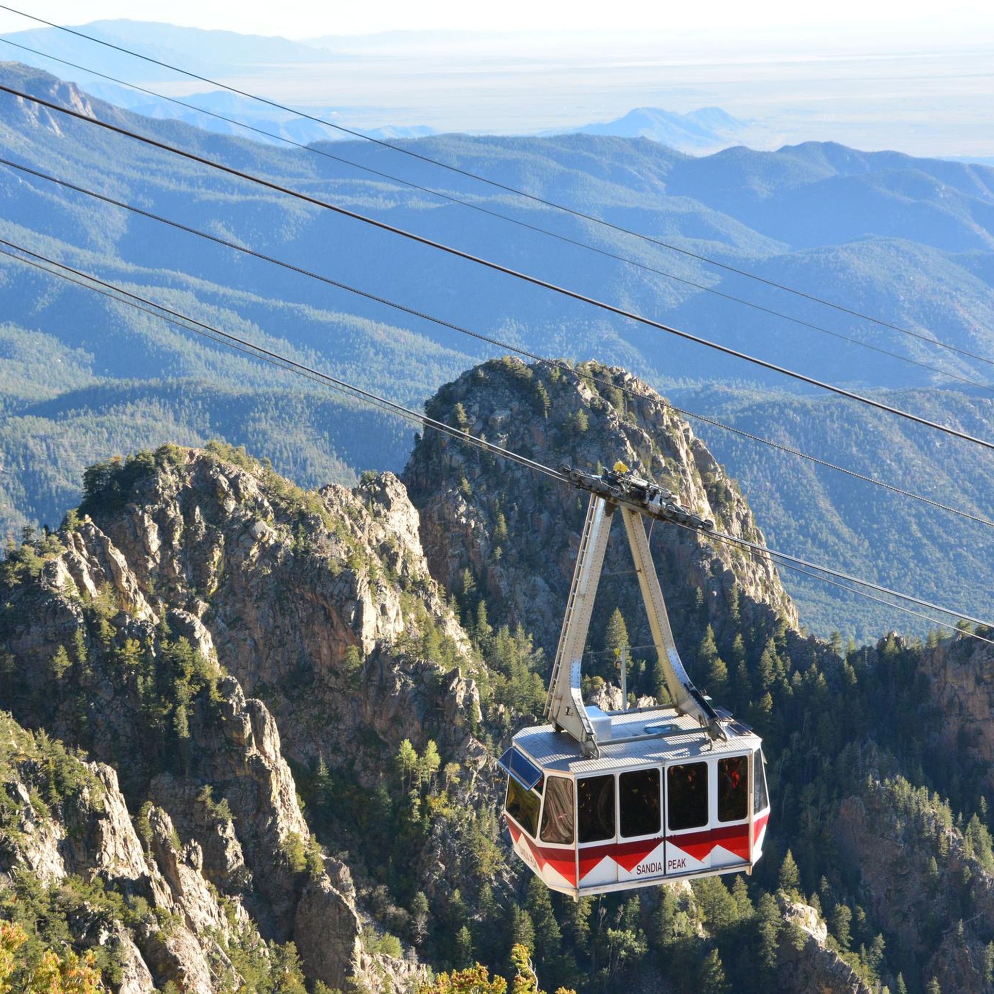
Hiking in Cibola National Forest
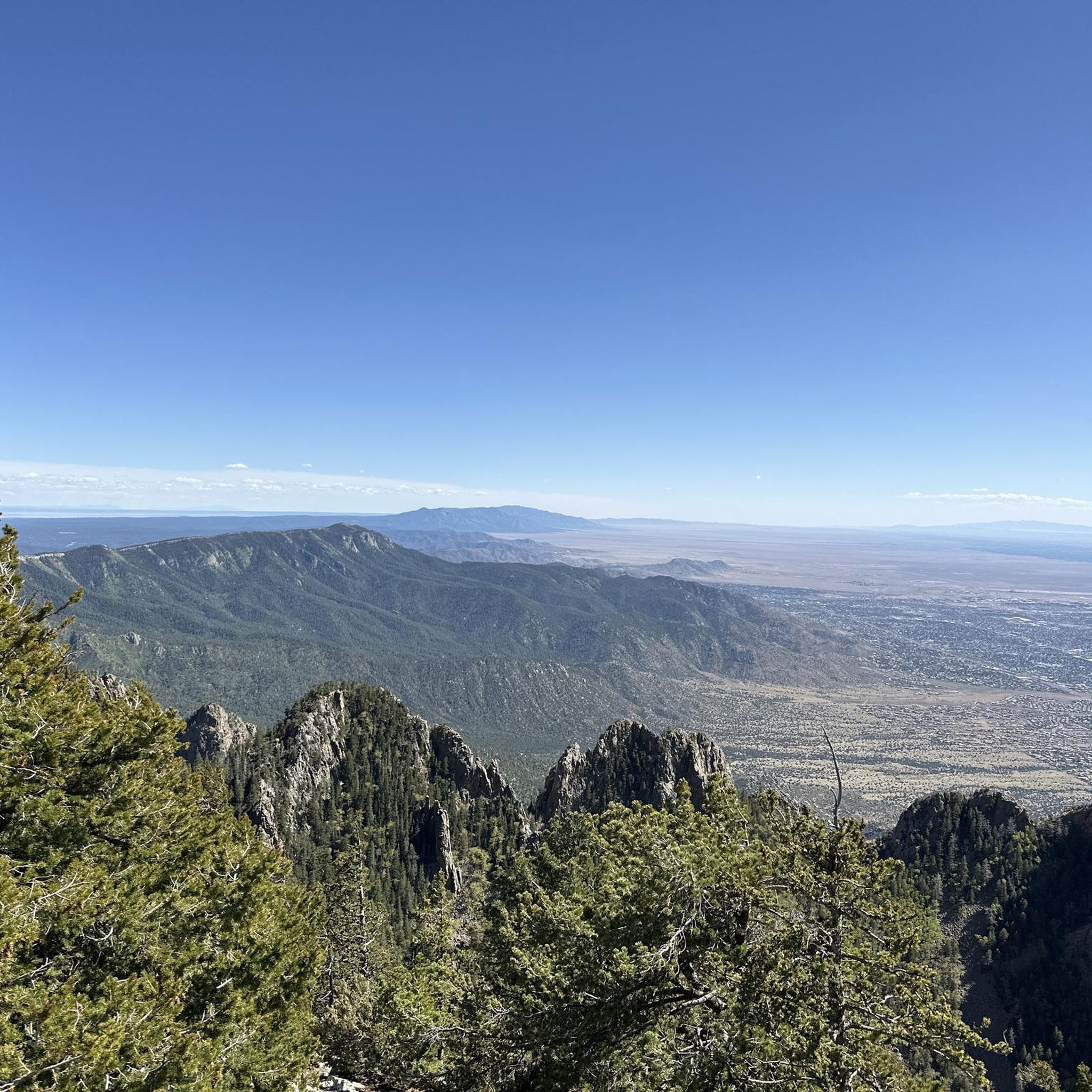
Running Trails in Cibola National Forest
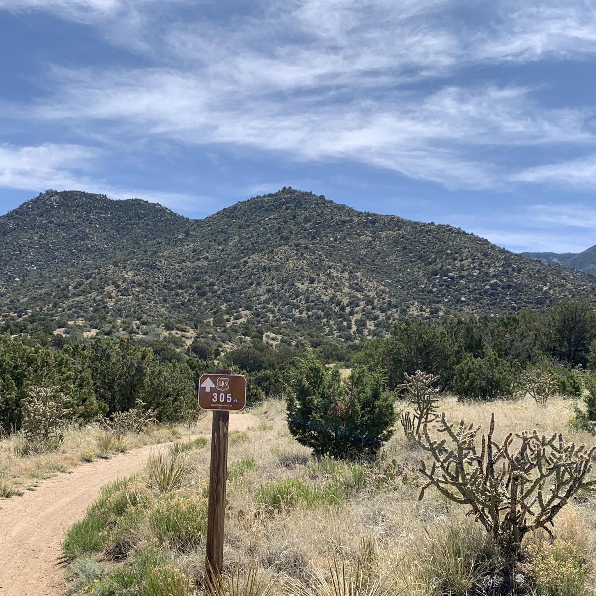
Road Cycling Routes in Cibola National Forest
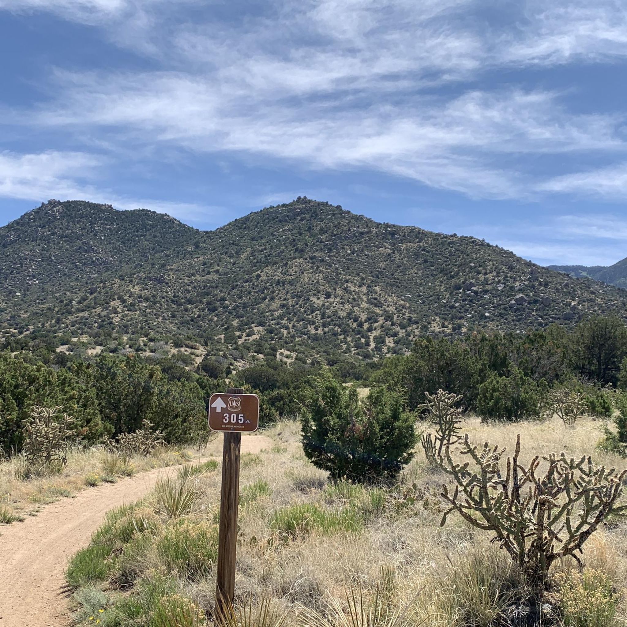
Cycling in Cibola National Forest

Gravel biking in Cibola National Forest
Other adventures in Cibola National Forest


Tips from the Community

Sandia Foothills Open Space spans 2560 acres at the base of the Sandia Mountains. It is a desert wonderland with plenty of opportunities for hikers, runners and mountain bikers to enjoy the outdoors without heading too far from the city. There are multiple trails and steeply sloped hills to explore dotted with wildflowers, prickly pear cacti, and cane cholla amidst the juniper and piñon trees.
0
0

This trail spans 12.7 miles from Sandia Peak Tramway to Camino de la Sierra, offering views of the city and the unique U-Mound, a mound of boulders popular for rock climbing.
0
0

Chalk Dust Trail is, in the dry season, a dusty trail used by runners and mountain bikers, so if the trail is busy, a bandana or neck buff can help with dust in the air. This area is managed by the Cibola National Forest Office, and the trail is 1.6 miles in length.
0
0
Strip Mine Trail is a well-marked trail that is shared with bikers and takes runners through the Placitas trail system. It can be ran as an out-and-back, but it also leads to the Chalk Dust Trail which can be taken to make a loop. The elevation on this run ranges from 5,660 feet to 6,040 feet above sea level.
0
0
The Bootleg Trail connects the Bobsled Trail to the Mustang Alley Trail in the network of the the Placitas Trails. These trails are for hikers and bikers to both enjoy.
0
0
From this spot on the Strip Mine Trail, get a close-up view of Red Hill. The trails around Red Hill have a mix of red and white sand.
0
0
Chalk Dust Trail is, in the dry season, a dusty trail used by hikers and mountain bikers, so if the trail is busy, a bandana or neck buff can help with dust in the air. This area is managed by the Cibola National Forest Office, and the trail is 1.6 miles in length.
0
0

Part of Elena Gallegos exchange lands, Juan Tomas Open Space boasts 1,290 acres of pinon-juniper forests, ponderosa pines, scrub oak, and meadows. Home to mule deer and wild turkeys, it's a haven for horseback riders on the Ponderosa Trail.
0
0
Frequently Asked Questions
How many mountain bike trails are available in Cibola National Forest?
Cibola National Forest offers over 35 mountain bike trails, catering to various skill levels. You'll find a good mix of easy, moderate, and difficult routes to explore across its diverse landscapes.
Are there mountain bike trails suitable for beginners or families?
Yes, Cibola National Forest has 6 easy mountain bike trails perfect for beginners or families looking for a less challenging ride. These routes often feature smoother paths and less elevation gain, allowing for a more relaxed experience.
What kind of terrain can I expect on the mountain bike trails?
The terrain in Cibola National Forest is incredibly diverse, ranging from high Sonoran desert to piñon-juniper woodlands and sub-alpine spruce forests. You can expect everything from smooth singletrack to technically challenging sections, with massive climbs and furious descents, especially in areas like the Manzanita Mountains.
Are there any loop mountain bike trails in Cibola National Forest?
Yes, many trails in Cibola National Forest are designed as loops, offering varied scenery without retracing your steps. For example, the Bootleg Trail – View of Red Hill loop from Placitas Trail Head is a popular moderate option, and the View of Red Hill – Chalk Dust Trail loop from Placitas Trail Head offers a longer moderate ride.
What are some challenging mountain bike trails for experienced riders?
For experienced riders seeking a challenge, Cibola National Forest offers 21 difficult mountain bike trails. The Juan Tomas Open Space loop from Pine Flat Picnic Site is a notable difficult route, exploring varied terrain and demanding sections. Another challenging option is the Juan Tomas Open Space loop from Oak Flat Trailhead.
What natural features or landmarks can I see while mountain biking?
While mountain biking, you can encounter diverse landscapes from high desert to ponderosa pine forests. Notable landmarks and viewpoints include Mount Taylor Summit, an extinct stratovolcano, and Sunset View from Sandia Crest. You might also spot Travertine Falls, a beautiful waterfall.
What is the best time of year to go mountain biking in Cibola National Forest?
The best time to mountain bike generally depends on the specific elevation. Lower elevation trails are often enjoyable in spring and fall, while higher elevation areas, like those around Mt. Taylor or Sandia Peak, are ideal in summer to avoid snow. Always check local conditions before heading out, especially during winter months.
Are there any permits required for mountain biking in Cibola National Forest?
Generally, permits are not required for mountain biking on most trails within Cibola National Forest. However, it's always a good idea to check the specific regulations for the area you plan to visit, as some designated wilderness areas or special events might have different rules. Information can usually be found on the official Cibola National Forest website.
What do other mountain bikers enjoy most about the trails here?
The mountain bike trails in Cibola National Forest are highly rated by the komoot community, with an average score of 4.9 stars. Riders often praise the diverse landscapes, the extensive singletrack, and the variety of routes that cater to different ability levels, from smooth paths to technically challenging descents.
Is there parking available at the trailheads?
Yes, many popular mountain biking areas within Cibola National Forest, such as the Placitas Area and the Manzanita Trail system, offer designated parking at trailheads. It's advisable to research specific trailhead locations in advance to confirm parking availability and any potential fees.
Can I bring my dog on the mountain bike trails?
Cibola National Forest is generally dog-friendly, and many trails allow dogs, typically on a leash. However, specific regulations can vary by district or wilderness area. Always check for signage at trailheads or consult the Cibola National Forest website for the most current rules regarding pets on trails.
Are there any places to eat or stay near the mountain bike trails?
Given the forest's proximity to Albuquerque, you'll find various cafes, pubs, and accommodation options within a reasonable driving distance. The Sandia Ranger District, for example, is conveniently located near Albuquerque, offering easy access to amenities after your ride.
Most popular routes in Cibola National Forest
Most popular attractions in Cibola National Forest

Get inspired with the komoot mobile app


Explore more
Browse the best MTB trails in other regions.
