The best walks and hikes around Dahme/Mark
4.6
(89)
341
hikers
31
hikes
Hiking around Dahme/Mark offers routes through the relatively flat landscape of Brandenburg, characterized by forests, agricultural fields, and numerous small water bodies. The region features gentle terrain with minimal elevation changes, making it accessible for various activity levels. Trails often lead past historic villages and natural areas, providing opportunities to observe local flora and fauna. The area's geography is shaped by its position within the glacial lowlands, resulting in a mix of woodlands and open spaces.
Best hiking trails around…
Last updated: November 10, 2026
4.6
(11)
21
hikers
Moderate hike. Good fitness required. Easily walkable paths.
4.6
(5)
16
hikers
6.48km
01:38
10m
10m
Easy hike. Easily walkable paths.

4.5
(2)
12
hikers
Moderate hike. Good fitness required. Easily walkable paths.
4.6
(9)
20
hikers
8.50km
02:11
30m
30m
Moderate hike. Good fitness required. Easily walkable paths.
3
hikers
9.99km
02:35
60m
60m
Moderate hike. Good fitness required. Easily walkable paths.
Get access to more routes and recommendations from other explorers.
Already have an account?
Our route recommendations are based on thousands of hikes, rides, and runs completed by other people on komoot.
Start today with a free account
Your next adventure awaits.
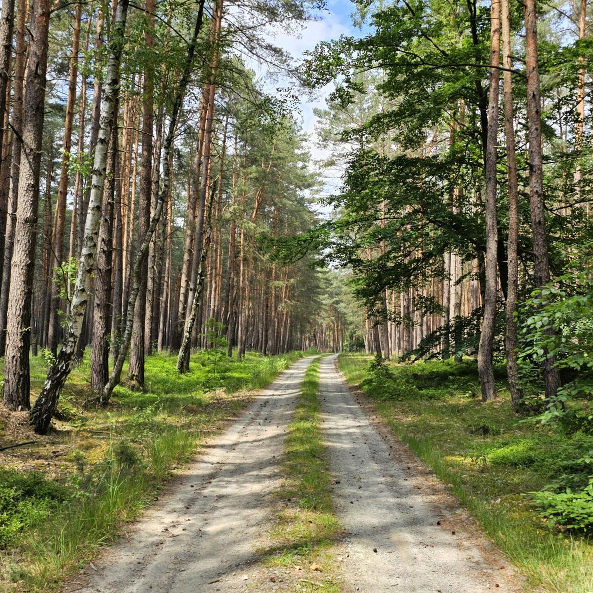
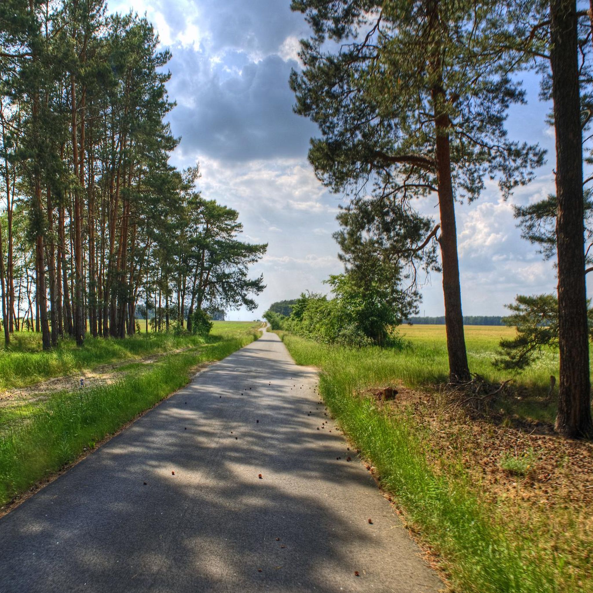
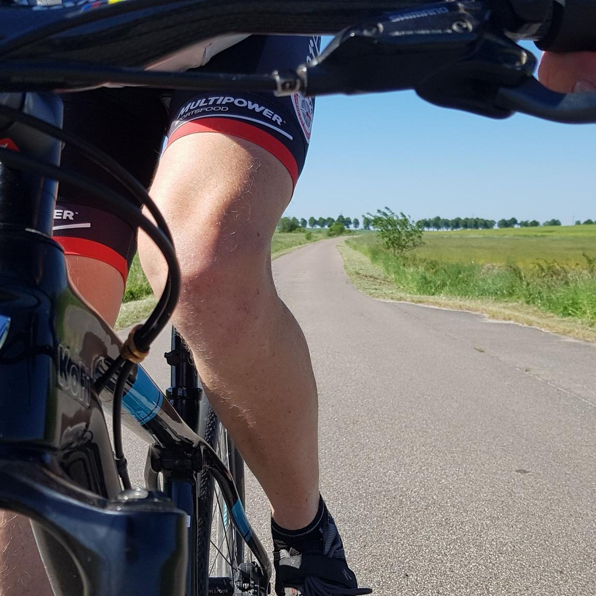


Tips from the Community

Hut, which is reached via a few steep steps. In the hut, you can just about lie down on the benches.
0
0

Located on a small hilltop, you can take a break in the rustic mountain hut and enjoy the original forest around you.
0
0

Wahlsdorf is a district of the independent town of Dahme/Mark in the Brandenburg district of Teltow-Fläming. It is located about 80 kilometers south of Berlin and, together with the inhabited part of the municipality of Liepe, has about 350 inhabitants. The village is located northwest of the town center and thus borders Charlottenfelde, a residential area of the town of Baruth/Mark, to the northwest, as well as the Baruth district of Petkus to the northwest. To the east, Buckow, another district of Dahme/Mark, borders the village. To the south lies the district of Heinsdorf, and to the west lies the district of Schlenzer in the municipality of Niederer Fläming. Source: Wikipedia
1
0

This is a pond, probably artificially created, on the Alte Elbe forest nature trail. There is also a covered rest area next to it.
0
0

A beautiful building, one would not expect in such a small town.
1
0
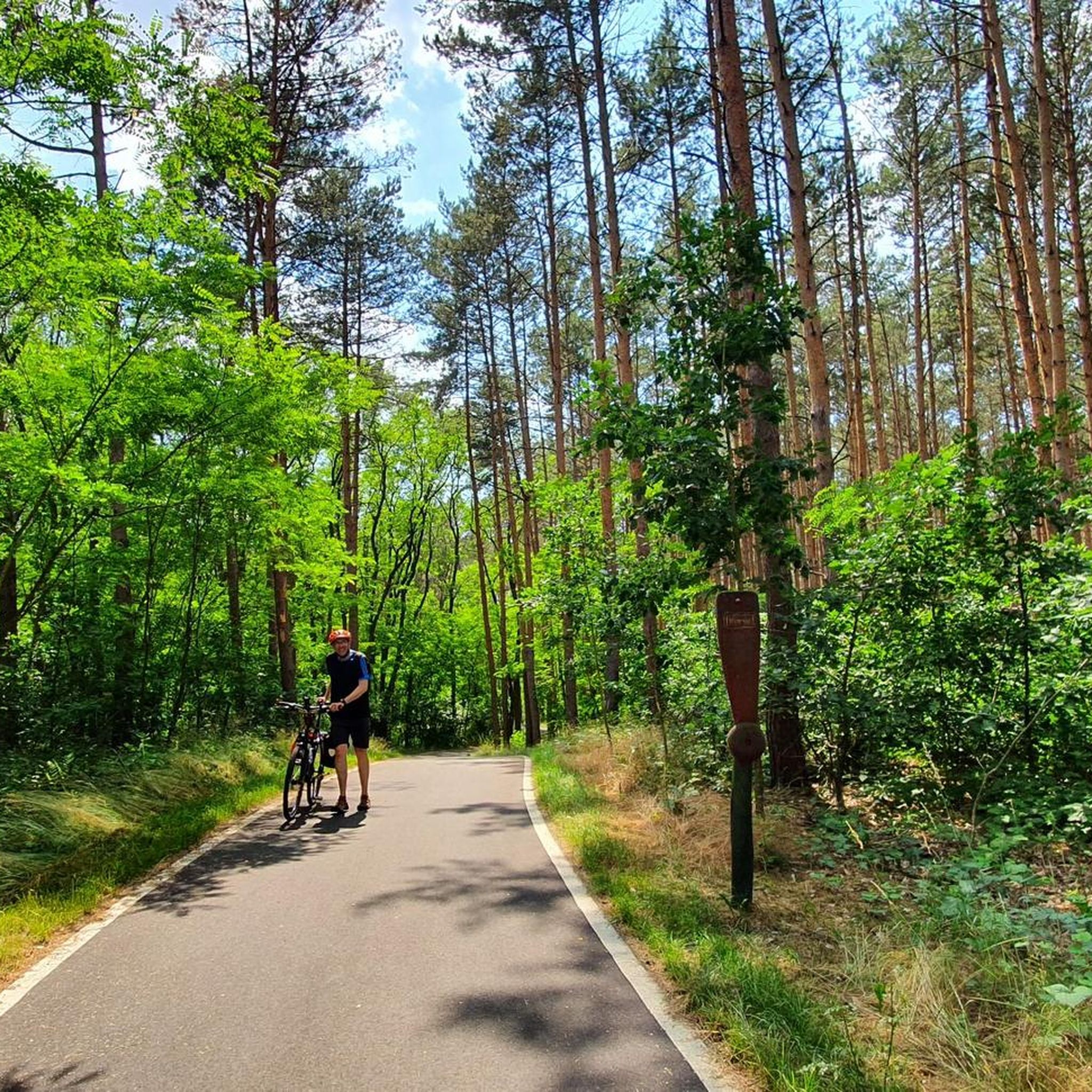
Located on a small hill, this small shelter offers space for a comfortable break and also protection from wind and weather. Outside there is a table with two benches. However, this seating area is already a little old. Still a wonderfully quiet place in the middle of the forest. The climb to the hut can be a little difficult with a bike and you will have to push.
4
0
Fieldstone building from the 13th century with west tower from 1888, neo-Gothic furnishings
0
0

Relatively early, namely in a document from 1229, the place appears as Walistorp. His name refers to a man with the then German first name Wal. Wahlsdorf's church consists of a west tower slightly wider than the nave, the nave, a recessed chancel and a semicircular apse. It is therefore a late Romanesque complex of the so-called complete type. However, the entire church is heavily neo-Gothic. The west tower also dates from the major renovations of 1887/88 and deceptively imitates the regular ashlar masonry of the original building sections. It is not impossible that material from a previously existing collapsed tower was used for its construction. On the south side we come across an added community portal on the nave - another one is opposite in the north - and on the chancel a priest's door with a round arch that was also added. This can be assumed at the portals, but can no longer be determined, since modern windows intersect them. In the eastern area of the south side of the ship, the outline of one of the high, small original windows has been preserved. A floor plan of the complete type as well as the round ends of the still recognizable openings clearly indicate that the church dates from the first half of the 13th century. Unfortunately, the 19th-century remodeling erased much of its original appearance. Source http://www.askanier-welten.de/dorfkirchen/wahlsdorf/
0
0
Frequently Asked Questions
How many hiking trails are available in Dahme/Mark?
There are over 30 hiking routes available in Dahme/Mark, offering a variety of experiences through the region's forests, fields, and near water bodies. These include 14 easy and 18 moderate trails.
What do other hikers enjoy most about the trails in Dahme/Mark?
The trails in Dahme/Mark are highly rated by the komoot community, with an average score of 4.7 stars from over 90 reviews. Hikers frequently appreciate the gentle terrain, the peaceful natural surroundings, and the well-maintained paths that make the area accessible for various activity levels.
Are there easy hikes suitable for beginners or families in Dahme/Mark?
Yes, Dahme/Mark offers 14 easy hiking routes. A great option for a relaxed outing is the Vogelturm – Town Hall & Post Office Dahme loop from Dahme/Mark, which is 3.9 miles (6.3 km) long and features minimal elevation changes, suitable for all ages.
Can I find circular walks in Dahme/Mark?
Many of the routes in Dahme/Mark are designed as circular walks, allowing you to start and end at the same point. For example, the Wahlsdorf Village Church – Kiekebank Selfie Chair loop from Wahlsdorf is a 6.0-mile (9.6 km) circular path that takes you through rural landscapes and past a village church.
Are there any trails that pass by interesting landmarks or natural sights?
Yes, several trails lead to notable points of interest. You can explore the Former Carmelite Monastery – Vogelturm loop from Dahme/Mark, which takes you past historic sites and to a viewing tower. Additionally, you might encounter natural monuments like the Dahme Spring or the Luther Oak (1510–2010) on various routes.
What is the best time of year for hiking in Dahme/Mark?
Dahme/Mark is enjoyable for hiking throughout much of the year due to its gentle terrain. Spring and autumn offer pleasant temperatures and beautiful scenery with blooming flowers or colorful foliage. Summer is also popular, especially around the numerous small water bodies. Even in winter, the relatively flat paths can be suitable for walks, though conditions may vary.
Are there any challenging hikes in Dahme/Mark?
The region of Dahme/Mark is characterized by its relatively flat landscape with minimal elevation changes, so there are no routes classified as 'difficult'. The most challenging trails are moderate in difficulty, offering longer distances rather than steep climbs. These moderate routes are suitable for hikers looking for a longer day out without significant ascents.
Are dogs allowed on the hiking trails in Dahme/Mark?
Generally, dogs are welcome on the hiking trails in Dahme/Mark. It's always recommended to keep your dog on a leash, especially in nature protection areas or near wildlife, and to be mindful of other hikers and local regulations. The open landscapes and forests provide ample space for walks with your canine companion.
Are there places to eat or stop for refreshments along the trails?
While specific pub stops are not integrated into every trail, many routes pass through or near historic villages where you can find local eateries or cafes. Planning your route to include a village stop can provide an opportunity for refreshments. It's advisable to check opening times in advance, especially in smaller communities.
What kind of wildlife can I expect to see while hiking in Dahme/Mark?
Dahme/Mark's diverse landscape of forests, fields, and water bodies supports various wildlife. Hikers might spot deer, wild boar, and a wide array of bird species, especially near the ponds and wetlands. Keep an eye out for smaller mammals and amphibians. Early mornings or late evenings often provide the best opportunities for wildlife observation.
Is public transport available to access hiking trails in Dahme/Mark?
Public transport options to access hiking trails in Dahme/Mark can be limited, as is common in more rural areas. While there are bus connections to the main town of Dahme/Mark, reaching specific trailheads outside the town might require a car. It's best to check local bus schedules and routes if you plan to rely on public transport.
Where can I park my car when hiking in Dahme/Mark?
Parking is generally available in the towns and villages that serve as starting points for many trails, such as Dahme/Mark itself or Wahlsdorf. Look for designated parking areas near village centers or trailheads. Always ensure you park legally and considerately, especially in residential areas.
Most popular routes around Dahme/Mark
Most popular attractions around Dahme/Mark

Get inspired with the komoot mobile app


Explore more
Browse the best Hikes in other regions.
