The best cycling routes in Corredor Biológico Chichinautzin
5.0
(9)
46
riders
8
rides
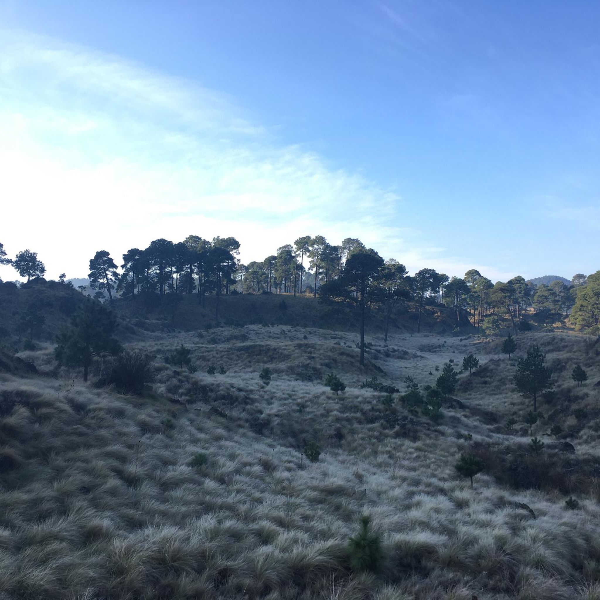
Touring cycling in Corredor Biológico Chichinautzin offers routes through a diverse landscape of volcanic terrain, extensive forests, and mountain ranges. This federally protected area, situated within the Trans-Mexican Volcanic Belt, features peaks such as Cerro Chichinautzin and Cuatzin. The region's forests are primarily composed of pine, oyamel, and oak trees, providing varied environments for cyclists.
Best touring cycling routes in Corredor Biológico Chichinautzin
- The most popular touring cycling route is Descent from the Viewpoint loop from Antigua Estación de Ferrocarril…
Last updated: May 21, 2026
5.0
(5)
17
riders
Hard bike ride. Very good fitness required. Mostly paved surfaces. Suitable for all skill levels.
5.0
(1)
7
riders
Hard bike ride. Very good fitness required. Mostly paved surfaces. Suitable for all skill levels.

Sign up for free
4
riders
Hard bike ride. Very good fitness required. Mostly paved surfaces. Suitable for all skill levels.
5.0
(1)
4
riders
46.9km
03:02
600m
600m
Hard bike ride. Very good fitness required. Mostly paved surfaces. Suitable for all skill levels.
2
riders
23.2km
01:37
390m
390m
Moderate bike ride. Good fitness required. Mostly paved surfaces. Suitable for all skill levels.
Get access to more routes and recommendations from other explorers.
Sign up for free
Already have an account?
Our route recommendations are based on thousands of hikes, rides, and runs completed by other people on komoot.
Start today with a free account
Your next adventure awaits.
Login or Signup
Popular around Corredor Biológico Chichinautzin

Tips from the Community

If they don't grip the brakes well, get off the bike and walk.
0
0

Frequently Asked Questions
How many touring cycling routes are available in Corredor Biológico Chichinautzin?
There are 8 touring cycling routes available in Corredor Biológico Chichinautzin, offering a range of experiences through volcanic landscapes and dense forests.
What kind of terrain can I expect on touring cycling routes in Corredor Biológico Chichinautzin?
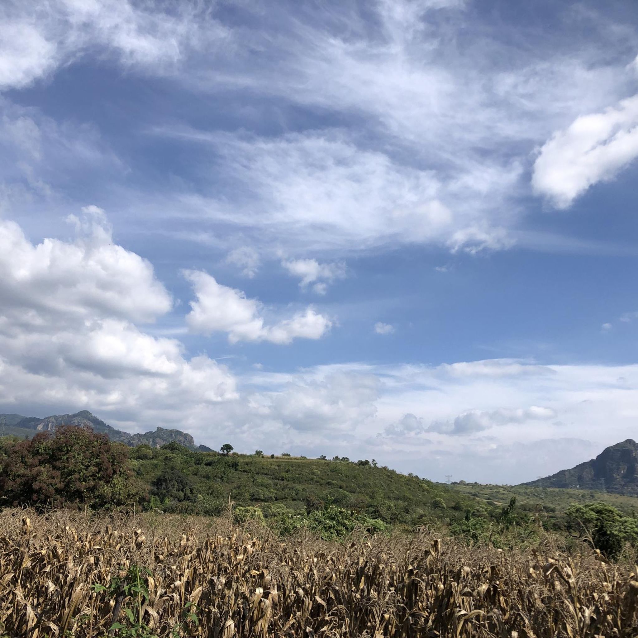
The region features diverse terrain, from unique volcanic landscapes with significant peaks like Cerro Chichinautzin and Cuatzin, to extensive forests of pine, oyamel, and oak trees. You'll encounter both paved surfaces and potentially unpaved, more challenging sections, providing a dynamic experience for touring cyclists.
Are there any family-friendly touring cycling routes in the Corredor Biológico Chichinautzin?
While many routes in the Corredor Biológico Chichinautzin are rated moderate to difficult, the Fuente tlaltenango loop from Cuernavaca is a moderate 23.2 km route that might be suitable for families with some cycling experience. It offers a shorter distance and less extreme elevation changes compared to the more challenging options.
Can I bring my dog on touring cycling routes in Corredor Biológico Chichinautzin?
The Corredor Biológico Chichinautzin is a federally protected area known for its rich biodiversity. While specific regulations for dogs on cycling routes can vary, it's generally advisable to keep dogs on a leash and ensure they do not disturb wildlife. Always check local park rules or signage for the most current information regarding pets in protected natural areas.
What are some notable natural features or landmarks I might see while cycling?
The region is rich in natural beauty and cultural significance. You can explore the Chichinautzin Ecological Zone, experience the challenging Climb from Calle Hidalgo to Tres Marías, Huitzilac, or pass through scenic areas like Montecasino Curves. The area also connects to other protected areas like Lagunas de Zempoala National Park and El Tepozteco National Park, offering diverse landscapes.
Are there any circular touring cycling routes in the region?
Yes, many of the touring cycling routes in Corredor Biológico Chichinautzin are loops. Examples include the Descent from the Viewpoint loop from Antigua Estación de Ferrocarril de Cuernavaca, the Descent from the Viewpoint – San Carlos Sports Complex loop, and the Narnia Restaurant – Tepexi loop. These circular routes allow you to start and end at the same point, making logistics easier.
What is the best time of year for touring cycling in Corredor Biológico Chichinautzin?
The Corredor Biológico Chichinautzin, located south of Mexico City, generally experiences a temperate climate. The dry season (roughly November to May) typically offers more stable weather conditions with less rain, making it ideal for touring cycling. However, the lush forests are beautiful year-round, and the cooler temperatures at higher elevations can be pleasant during warmer months.
What are the difficulty levels of touring cycling routes in Corredor Biológico Chichinautzin?
The routes in Corredor Biológico Chichinautzin cater to various fitness levels. You'll find a mix of moderate and difficult routes. For instance, the Descent from the Viewpoint loop and the Descent from the Viewpoint – San Carlos Sports Complex loop are rated as difficult due to significant elevation gains and varied terrain. There are also moderate options like the Fuente tlaltenango loop.
Are there opportunities for wildlife spotting while cycling in the Corredor Biológico Chichinautzin?
Absolutely. The Corredor Biológico Chichinautzin is a biodiversity hotspot, home to an impressive array of flora and fauna. Cyclists might encounter various bird species (including 36 exclusive to the region), reptiles, amphibians, and a vast number of insects and spiders. The extensive pine, oyamel, and oak forests provide habitats for this rich wildlife, offering opportunities for observation during your rides.
What do other touring cyclists enjoy the most about touring cycling in Corredor Biológico Chichinautzin?
The area is highly rated by the komoot community, with an average score of 5.0 stars. Reviewers often praise the stunning volcanic landscapes, the immersive experience of cycling through dense, biodiverse forests, and the challenging yet rewarding climbs that offer spectacular views. The variety of terrain and the sense of being immersed in nature are frequently highlighted.
Are there places to eat or rest near the touring cycling routes?
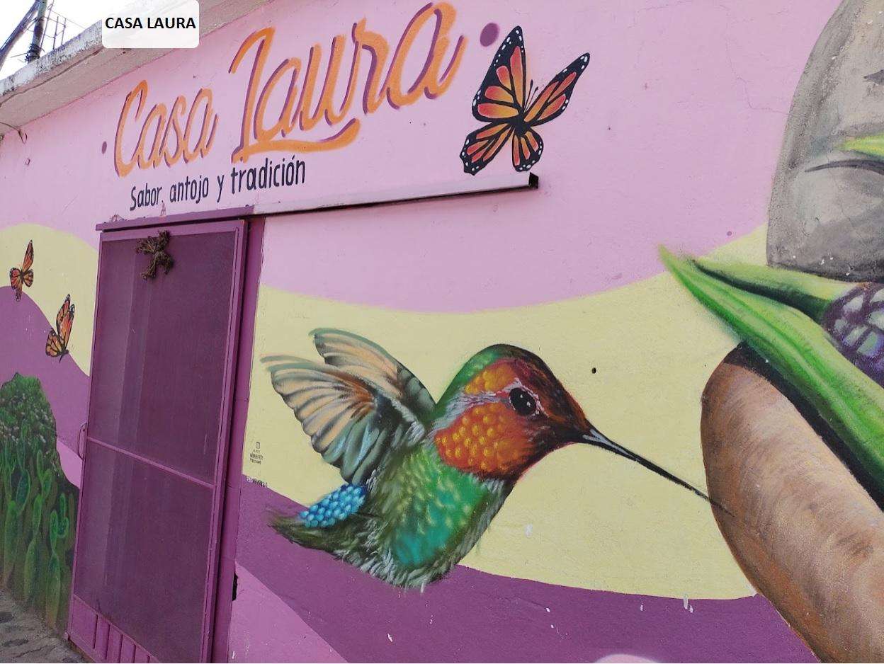
Yes, you can find places to eat and rest. For example, the Narnia Restaurant – Tepexi loop and the Narnia Restaurant loop both pass by the Narnia Restaurant, offering a convenient stop. Additionally, the Casa Laura Tlacoyos, San José de los Laureles is another option for food near some routes.
What should I bring for a touring cycling trip in Corredor Biológico Chichinautzin?
Given the varied terrain and potential for significant elevation changes, it's advisable to bring appropriate gear. This includes a well-maintained touring bicycle, a helmet, sufficient water and snacks, sun protection, and layers of clothing suitable for changing weather conditions. A basic repair kit and a first-aid kit are also recommended. For routes with unpaved sections, consider tires with good grip.
Is public transport available to access the touring cycling routes?
The Corredor Biológico Chichinautzin is located south of Mexico City, and while public transport options exist to reach towns within or near the corridor, direct access to specific trailheads might require additional planning. It's best to research local bus services or shared taxis from nearby cities like Cuernavaca to get closer to your desired starting points. Parking is also available at various access points.
Most popular routes in Corredor Biológico Chichinautzin
Most popular attractions in Corredor Biológico Chichinautzin

Get inspired with the komoot mobile app


Explore more
Browse the best Cycling routes in other regions.
