The best walks and hikes around Tange Sø
4.3
(16)
145
hikers
32
hikes
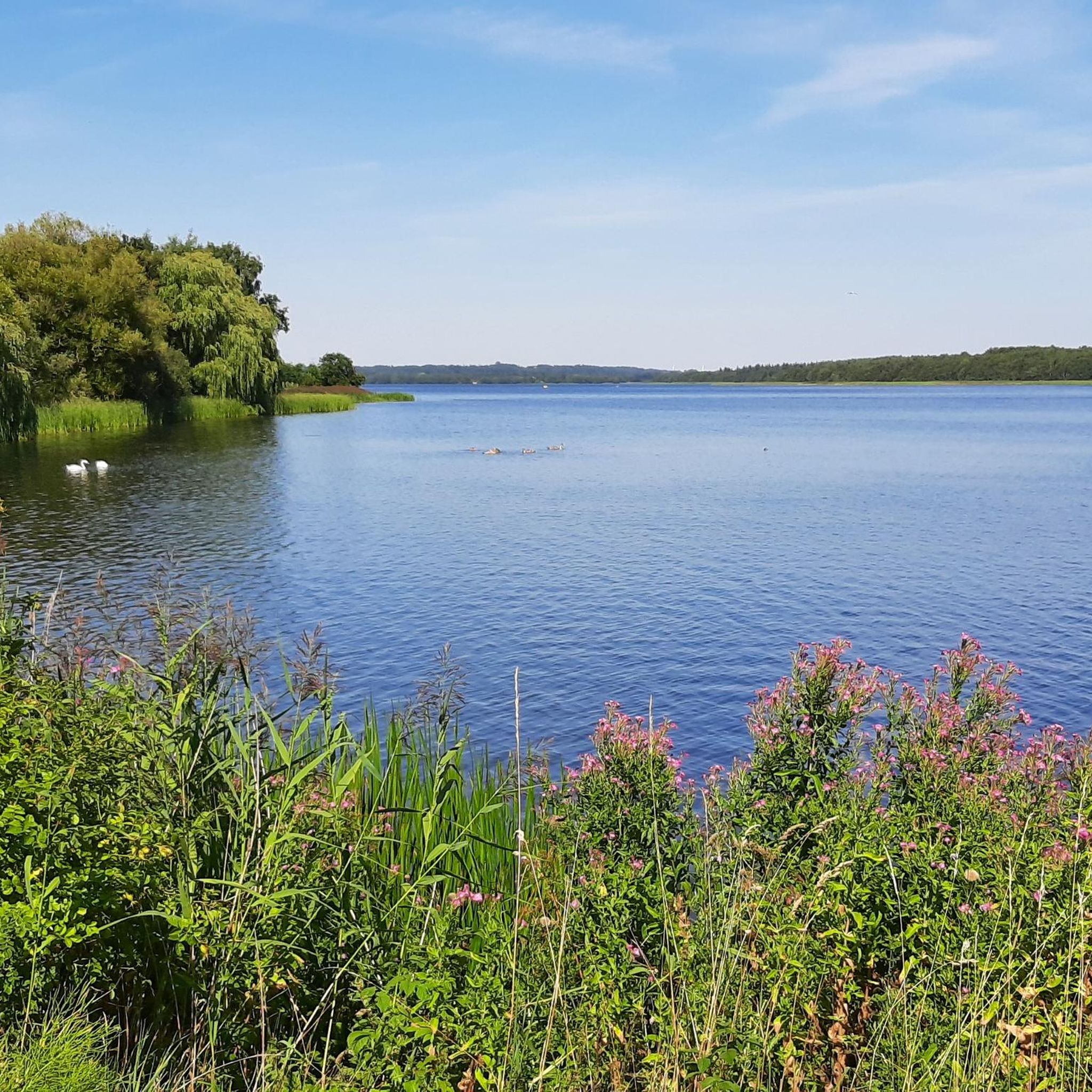
Hiking around Tange Sø offers a variety of routes exploring the lake's perimeter and surrounding landscapes in Central Denmark. The region is characterized by the large artificial lake, gentle hills, and areas of forest and open fields. Trails often follow the lake's edge or meander through the nearby countryside, providing accessible options for outdoor activity.
Best hiking trails around Tange Sø
- The most popular hiking route is Tange Sø Loop, a 11.0 miles (17.8 km) trail that takes 4…
Last updated: October 10, 2026
6
hikers
17.8km
04:33
60m
60m
Moderate hike. Good fitness required. Easily-accessible paths. Suitable for all skill levels.
5.0
(3)
26
hikers
Hard hike. Very good fitness required. Easily-accessible paths. Suitable for all skill levels.

5.0
(1)
5
hikers
16.3km
04:09
40m
40m
Moderate hike. Good fitness required. Easily-accessible paths. Suitable for all skill levels.
3
hikers
7.60km
01:56
20m
20m
Easy hike. Great for any fitness level. Easily-accessible paths. Suitable for all skill levels.
4.0
(2)
8
hikers
14.9km
03:50
80m
80m
Moderate hike. Good fitness required. Easily-accessible paths. Suitable for all skill levels.
Get access to more routes and recommendations from other explorers.
Already have an account?
Our route recommendations are based on thousands of hikes, rides, and runs completed by other people on komoot.
Start today with a free account
Your next adventure awaits.
Tips from the Community

On the occasion of the Danish electricity supply's 100th anniversary.
0
0

- very new, partly accessible shelter place with six shelters and a large covered area with picnic tables, water, electricity, shower for online payment -In season, it is advisable to reserve online! www.bookenshelter.dk -Payment online -Approach the peninsula via the east side, exit via two metal walkways - Most shelters have no direct view of the water, - Almost no possibility to pitch a tent and no idea if it is allowed. It is also not selectable when booking. -Location very quiet
0
0

Tange Lake is Denmark's largest artificial lake, which was created in 1920 to power the nearby Tange Power Plant. This scenic lake offers a tranquil setting for a variety of outdoor activities. You can appreciate the unique history of the area by visiting the power plant itself, which stands as a landmark of Danish engineering. It's a perfect place to enjoy the quiet beauty of central Jutland's landscape.
1
0


Interesting, very special in this beautiful environment!
0
0

The impressive Tangeværket power station was built between 1918 and 1920 at a location where the Gudenå has a natural gradient of about 10 metres. In addition, the Gudenå was raised slightly and a large artificial lake was formed, which supplies the power station with sufficient water.
2
0
“Høj Stene” is one of the largest Iron Age burial monuments in northern Europe. The impressive monument is located directly on the river Gudenå and is easily accessible from the Trækstien hiking trail.
1
0
Frequently Asked Questions
How many hiking trails are available around Tange Sø?
There are over 45 hiking trails around Tange Sø, offering a variety of options for different skill levels. This includes 29 easy routes, 18 moderate routes, and one more challenging trail.
Are there easy or beginner-friendly hikes in the Tange Sø area?
Yes, Tange Sø offers many easy and beginner-friendly hikes. With 29 routes classified as easy, you'll find plenty of gentle paths suitable for a relaxed walk. A good option for a shorter, easy walk is the Hiking loop from Tangeværket, which is just under 3 km.
What kind of terrain can I expect on the hiking trails around Tange Sø?
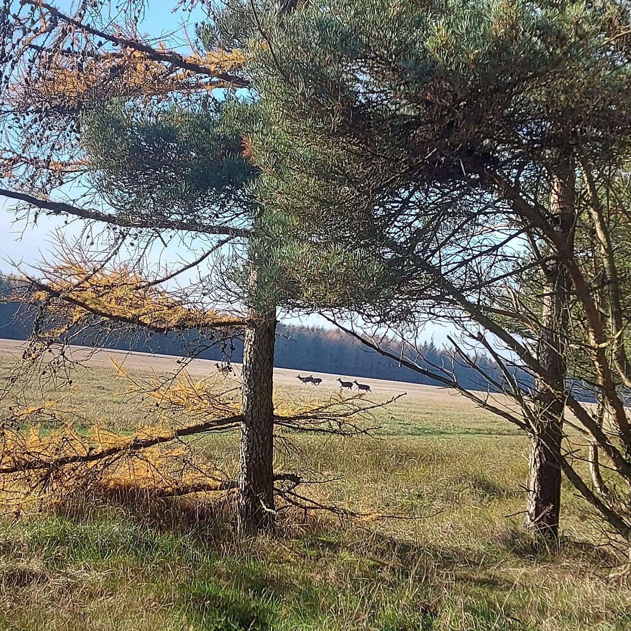
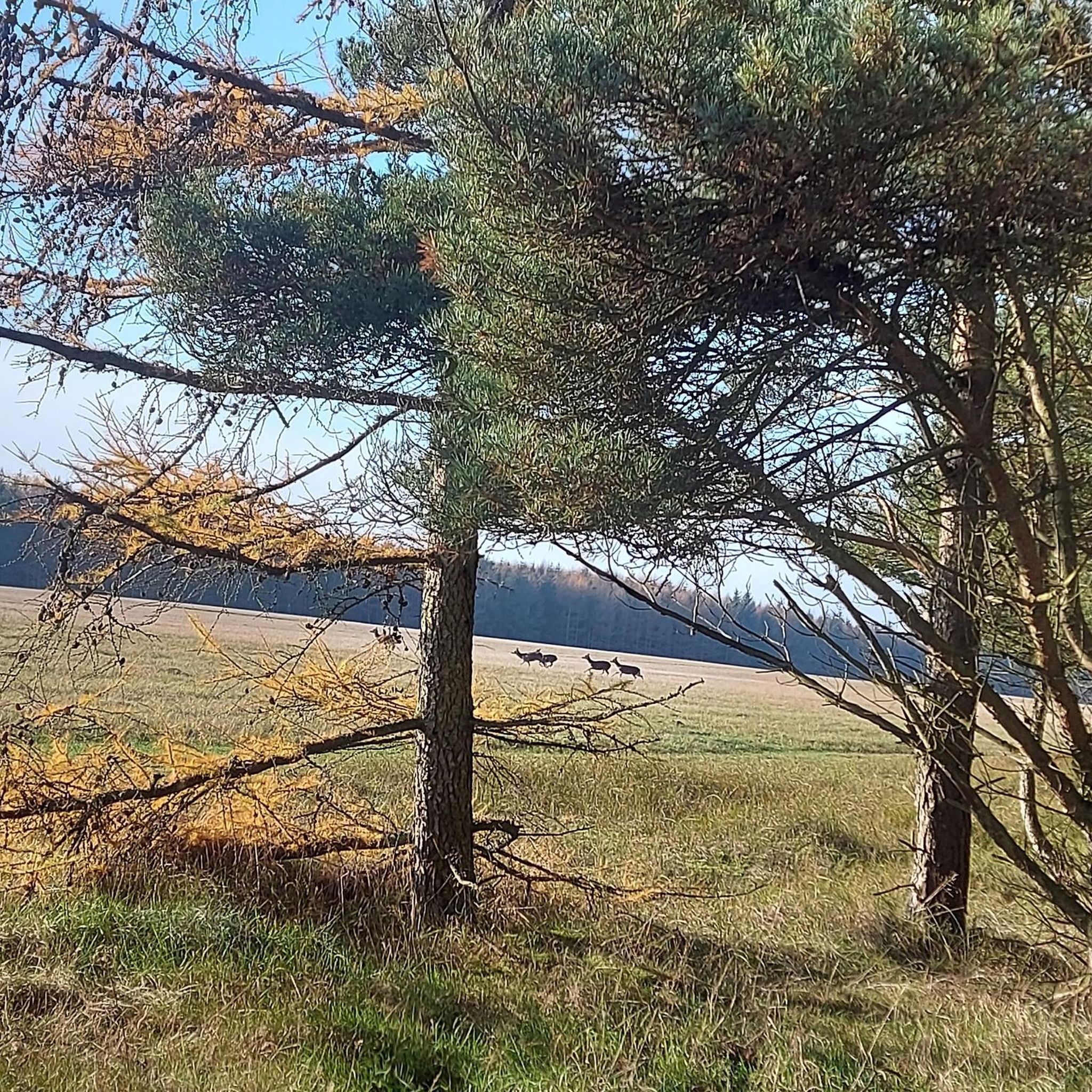
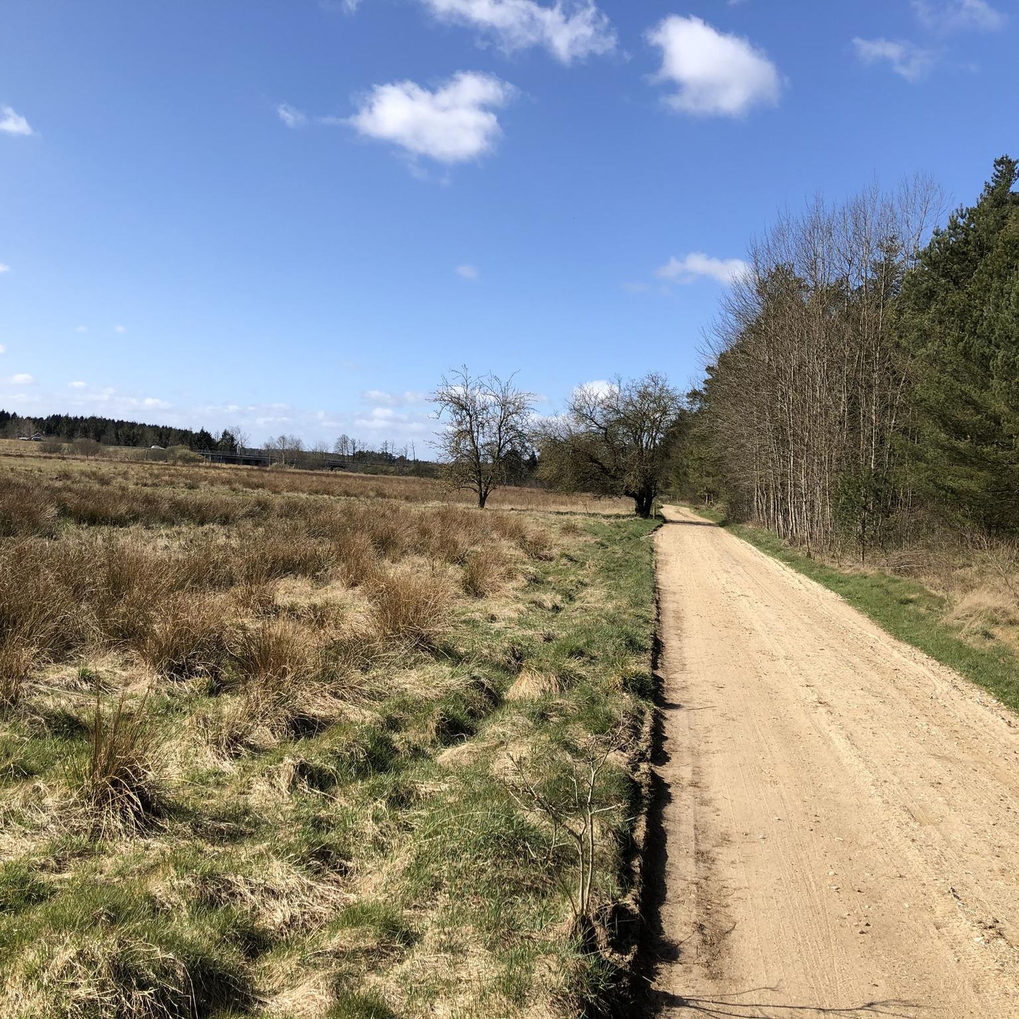
The terrain around Tange Sø is generally characterized by gentle hills, lakeside paths, and sections through forests and open fields. Many trails follow the lake's edge, providing continuous water views, while others meander through the surrounding countryside.
Are there any circular routes for hiking around Tange Sø?
Yes, many of the trails around Tange Sø are designed as circular routes, allowing you to start and end at the same point. A prominent example is the Tange Sø Loop, which offers continuous views of the lake.
Are the hiking trails around Tange Sø suitable for families with children?
Absolutely. The Tange Sø area has many easy and moderate trails with gentle gradients, making them suitable for families. Look for the shorter, easy routes, which often provide pleasant walks without being too strenuous for younger hikers.
Can I bring my dog on the hiking trails at Tange Sø?
Yes, dogs are generally welcome on the hiking trails around Tange Sø. However, it's important to keep your dog on a leash, especially in nature areas, to protect wildlife and ensure a pleasant experience for all visitors. Always clean up after your pet.
Where can I find parking for hiking around Tange Sø?
Parking is typically available at various starting points around the lake, including near Tangeværket and in towns like Ans. Specific parking information is often detailed on individual route pages on komoot.
What is the best time of year to go hiking in Tange Sø?
The best time to hike around Tange Sø is generally from spring through autumn (April to October) when the weather is milder and the natural scenery is at its most vibrant. Summer offers longer daylight hours, while spring and autumn provide beautiful colors and fewer crowds. Winter walks can also be peaceful, though conditions may be colder and paths potentially icy.
Are there any cafes or places to eat near the hiking trails?
Yes, you can find cafes and eateries in the nearby towns and villages surrounding Tange Sø, such as Ans or Kongensbro. For example, the Kongensbro Kro – Tange Lake loop from Tangeværket route passes by Kongensbro Kro, offering a potential stop for refreshments.
What do other hikers enjoy most about hiking in Tange Sø?
The area is highly rated by the komoot community, with an average score of 4.3 stars. Reviewers often praise the continuous lake views, the peaceful atmosphere, and the variety of accessible trails that cater to different fitness levels.
Are there any historical or cultural points of interest along the trails?
Yes, some routes incorporate historical elements. For instance, the Høj Stene stone circle loop from Ans leads through areas with historical significance, including ancient stone circles, offering a blend of nature and cultural exploration.
Are there any forest walks or trails through wooded areas?
Yes, while many trails follow the lake, the region also features areas of forest and woodland. For example, the Gudenåcentralens Plantage loop from Ans takes you through the Gudenåcentralens Plantage, offering a pleasant forest experience.
Most popular routes around Tange Sø
Most popular attractions around Tange Sø

Get inspired with the komoot mobile app


Explore more
Browse the best Hikes in other regions.
