The best road cycling routes around Cumlosen
4.6
(67)
814
riders
59
rides
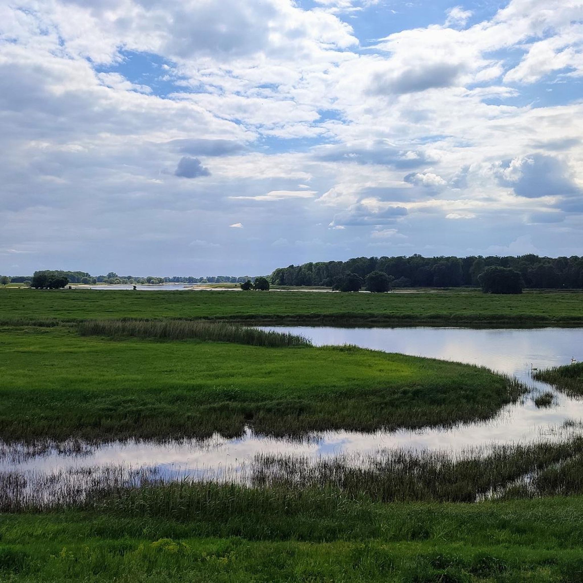
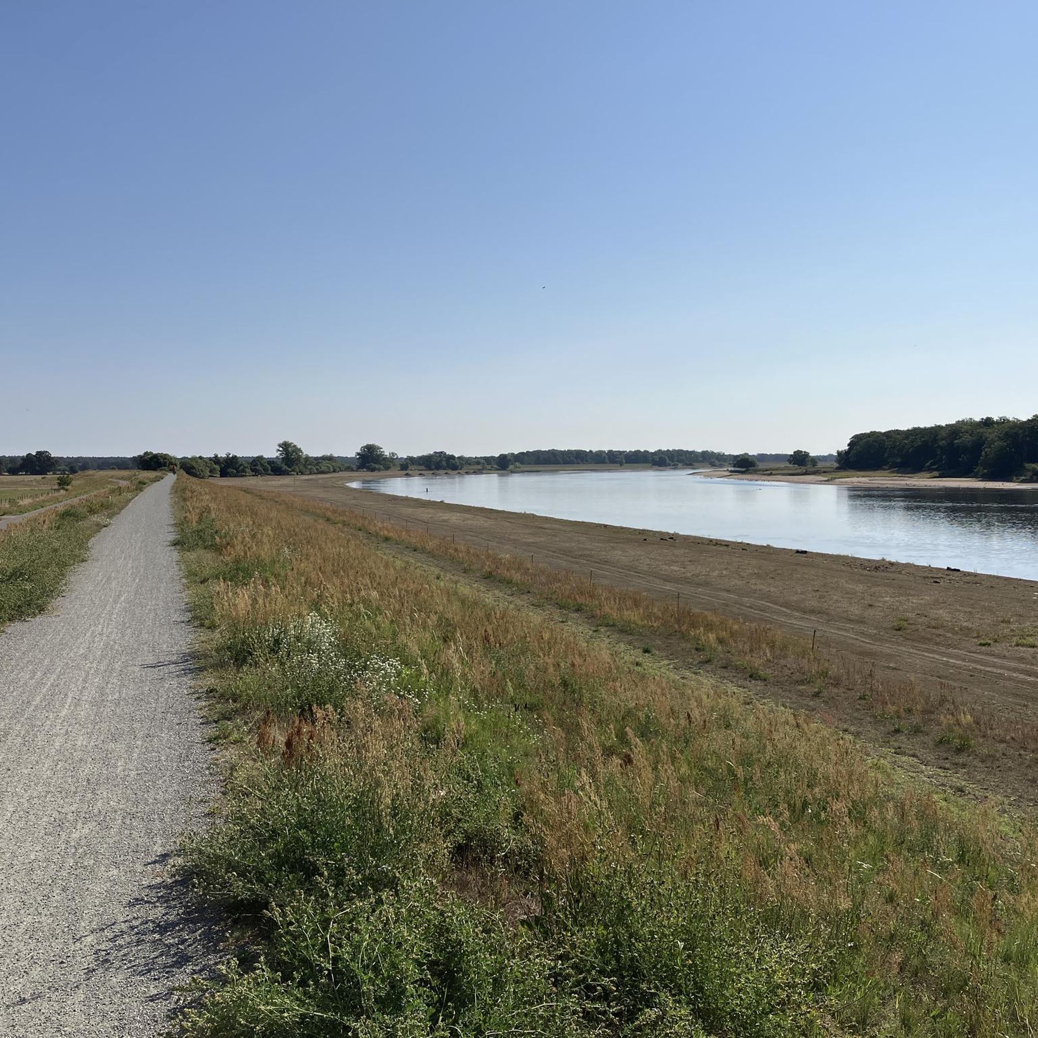
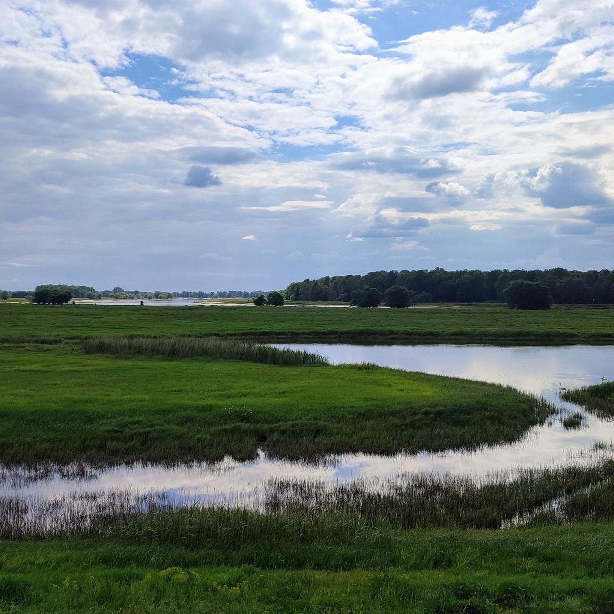
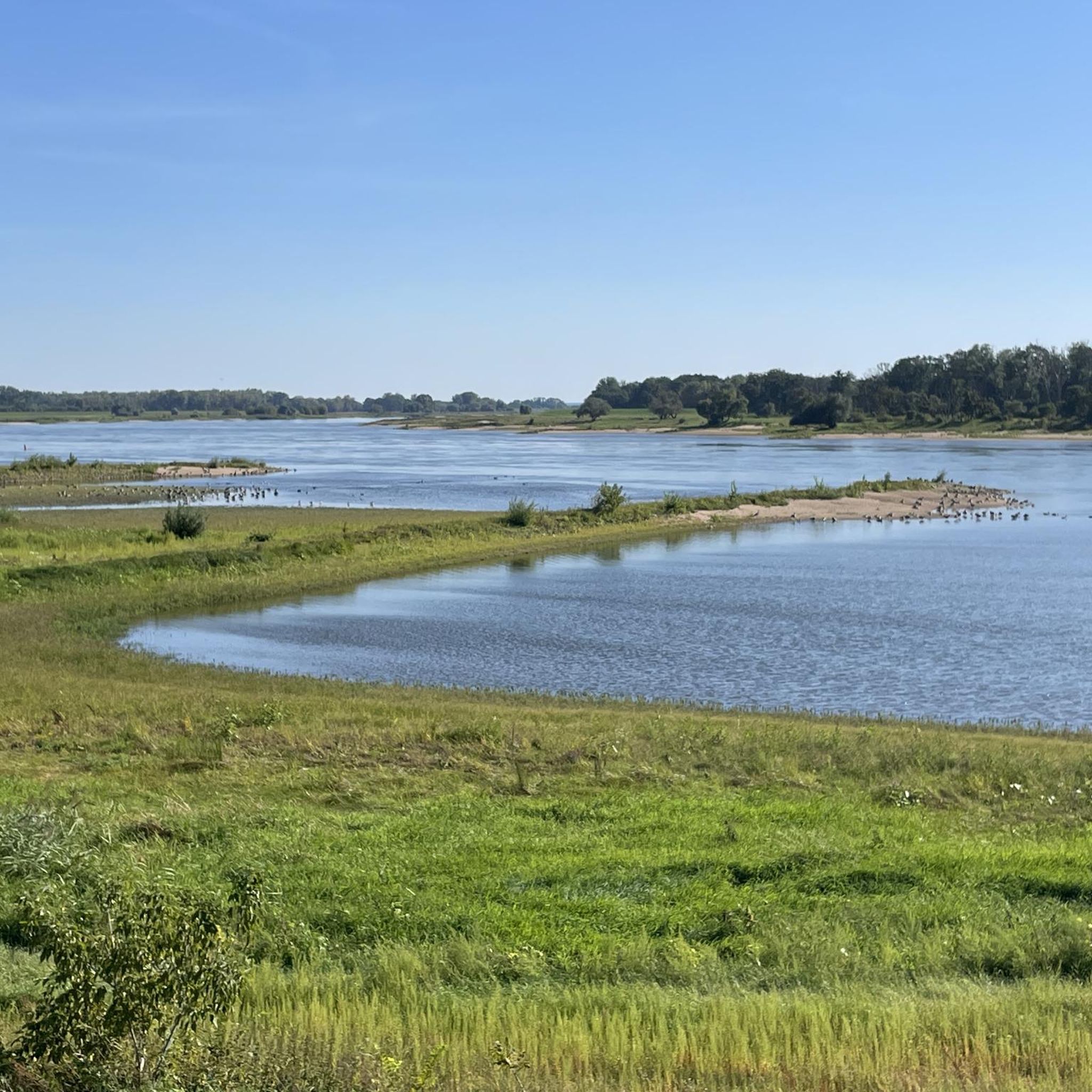
Road cycling routes around Cumlosen are predominantly flat, traversing the Brandenburg Elbe River Floodplain Biosphere Reserve. The region features well-maintained paths, often running atop dikes, offering expansive views of the Elbe valley and its meadows. Cyclists can also find alternative paths behind the dikes, providing shelter from the wind. The landscape includes forests, rolling hills, and wide fields, with the Stepenitz River adding to its natural character.
Best road cycling routes around Cumlosen
- The most popular road cycling route is…
Last updated: May 16, 2026
5.0
(2)
75
riders
Moderate road ride. Good fitness required. Some segments of this route may be unpaved and difficult to ride.
5.0
(7)
111
riders
77.1km
03:50
130m
130m
Moderate road ride. Good fitness required. Some segments of this route may be unpaved and difficult to ride.

Sign up for free
4.3
(6)
46
riders
Easy road ride. Great for any fitness level. Mostly well-paved surfaces and easy to ride.
4.8
(4)
34
riders
Easy road ride. Great for any fitness level. Mostly well-paved surfaces and easy to ride.
5.0
(2)
24
riders
70.7km
02:53
90m
90m
Moderate road ride. Good fitness required. Some segments of this route may be unpaved and difficult to ride.
Get access to more routes and recommendations from other explorers.
Sign up for free
Already have an account?
Our route recommendations are based on thousands of hikes, rides, and runs completed by other people on komoot.
Start today with a free account
Your next adventure awaits.
Login or Signup

Tips from the Community

The village church of Rühstädt, also known as Quitzow Church, dates back to the 15th century. It was built under the influence of the noble von Quitzow family, who shaped the village for a long time. The original late Gothic brick building with a semicircular apse was remodeled in the Baroque style in the 18th century and a striking west tower was added. Important furnishings have been preserved inside, including a late Gothic carved altarpiece, several tombstones of the von Quitzow family, and a historic organ from 1738. A late Gothic mural of the Last Judgment in the apse is particularly noteworthy. Today, the church is a listed building and part of the Open Churches Initiative, meaning it is often open to visitors.
1
0
The village church of Bälow, a striking brick building, dominates the village landscape. It was erected in 1914/15 according to plans by the Royal Building Councilor Georg Büttner, reusing building materials from the older church dating back to 1661. The rectangular structure with its projecting tower and spire was built after several relocations of the village due to Elbe River floods, as well as the fire and subsequent demolition of the earlier timber-framed church. Now a listed historical monument, the church stands today as a testament to the eventful history of the village and the religious life of the Prignitz region along the Elbe River.
0
0
The bridge over the Stepenitz is an important crossing just before the river flows into the Elbe. It connects central urban areas with adjacent residential and recreational areas and is used by vehicular traffic, pedestrians, and cyclists. Its location in the river and floodplain landscape offers unobstructed views of the Stepenitz and the surrounding countryside. It is a defining element of Wittenberge's cityscape.
0
0

Initially, the road is paved with interlocking concrete slabs, but the road is easy to ride. Then, it's a perfect glide along the top of the dike with excellent asphalt. Plus, the view of the Elbe and Havel rivers, as well as the beautiful floodplain landscape. A great section.
2
0
Coming from the Elbe Cycle Path, the classic "entrance door" to Wittenberge.
2
0
Truly impressive as you approach Wittenberge. The bridge has a truly monumental quality, yet blends well into the landscape. It has recently been reopened to cyclists.
2
0
For the view, the drive along the top of the dike is preferable to the farm track; the asphalt is also excellent. Of course, the lower section is more sheltered from crosswinds.
2
0
When hunger strikes, perhaps...
2
0
Frequently Asked Questions
What is the general terrain like for road cycling around Cumlosen?
Road cycling routes around Cumlosen are predominantly flat, traversing the Brandenburg Elbe River Floodplain Biosphere Reserve. You'll find well-maintained paths, often running atop dikes, which offer expansive views of the Elbe valley and its picturesque meadows. For those seeking shelter from the wind, alternative paths behind the dikes are often available. The landscape also includes forests, rolling hills, and wide fields, with the Stepenitz River adding to its natural character.
Are there road cycling routes suitable for beginners in Cumlosen?
Yes, the network of routes in Cumlosen offers options for various ability levels. While many are moderate, there are also easy loops available. For example, the Village Church Rühstädt – Stork Village Rühstädt loop from Wittenberge is an easy 19.8-mile (31.9 km) trail, and the Stepenitz Bridge – Elbe Cycle Route: Gnevsdorf – Bälow loop from Wittenberge is another easy option.
What is the best time of year for road cycling in Cumlosen?
The best seasons for exploring the landscapes around Cumlosen are spring and autumn. During these times, you can expect mild weather, vibrant flora, and colorful foliage, making for a very pleasant cycling experience.
What natural features can I expect to see while cycling near Cumlosen?
The region is defined by the Brandenburg Elbe River Floodplain Biosphere Reserve, offering a dreamlike river landscape and nature at its purest. You'll cycle along the Elbe River, often on dikes, with views of meadows and the Stepenitz River. The area is also known for its high biodiversity.
Are there any notable landmarks or attractions along the road cycling routes?
Yes, several points of interest can be found. You might pass by the Old Oil Mill in Wittenberge, a revitalized historical site. The Wittenberge Riverside Promenade and Historic Old Town is also a pleasant stop. The routes themselves are often part of the renowned Elbe Cycle Route.
Can I observe wildlife during my road cycling tours in the Cumlosen area?
Absolutely. The Brandenburg Elbe River Floodplain Biosphere Reserve is known for its high biodiversity. You have ample opportunities for observing wildlife, including various bird species, migratory birds, Elbe beavers, otters, and even wild boars.
Where can I find parking for my road cycling trip in Cumlosen?
Wittenberge, a bike-friendly town situated directly on the Elbe, offers good infrastructure and is a convenient starting point with parking options. For specific parking locations near trailheads, it's advisable to check local signage or online maps for public parking facilities in Cumlosen and surrounding villages.
Is Cumlosen accessible by public transport for cyclists?
Wittenberge, a nearby town, offers convenient railway connections to major cities like Berlin and Hamburg, making it a good hub for accessing the region by public transport. From Wittenberge, you can easily reach the cycling routes around Cumlosen.
Are there any circular road cycling routes around Cumlosen?
Yes, many of the road cycling routes around Cumlosen are designed as loops, allowing you to start and end in the same location. An example is the popular Former Cumlosen Border Tower – Elbe Dike Near Cumlosen loop from Wittenberge, which offers open views of the river landscape.
What do other road cyclists enjoy most about the routes in Cumlosen?
The road cycling routes in Cumlosen are highly rated by the komoot community, with an average score of 4.6 stars from more than 60 reviews. Cyclists often praise the predominantly flat terrain, the well-maintained paths along the Elbe dikes, and the expansive views of the river valley and its picturesque meadows.
Are the road cycling routes around Cumlosen suitable for families?
Yes, the predominantly flat terrain and well-maintained paths, especially those along the Elbe Cycle Route, make many of the routes around Cumlosen suitable for families. There are easy loops available, such as the Village Church Rühstädt – Stork Village Rühstädt loop from Wittenberge, which are great for a family outing.
How many road cycling routes are available in the Cumlosen area?
There are over 60 road cycling routes available around Cumlosen on komoot, catering to various skill levels. This includes 11 easy routes, 48 moderate routes, and 1 difficult route, ensuring options for every cyclist.
Are there options for longer road cycling tours in the region?
Yes, the region offers routes for longer tours. The Neuwerben Weir – View of Havelberg loop from Wittenberge is a moderate 47.9-mile (77.1 km) path that provides extensive cycling through the Elbe valley. The area is also part of the renowned Elbe Cycle Route, which is Germany's most popular long-distance cycling path, offering vast opportunities for extended rides.
Most popular attractions around Cumlosen

Get inspired with the komoot mobile app


Explore more
Browse the best Road cycling routes in other regions.
