The best MTB trails around Dam Těrlicko
4.7
(40)
282
riders
8
rides
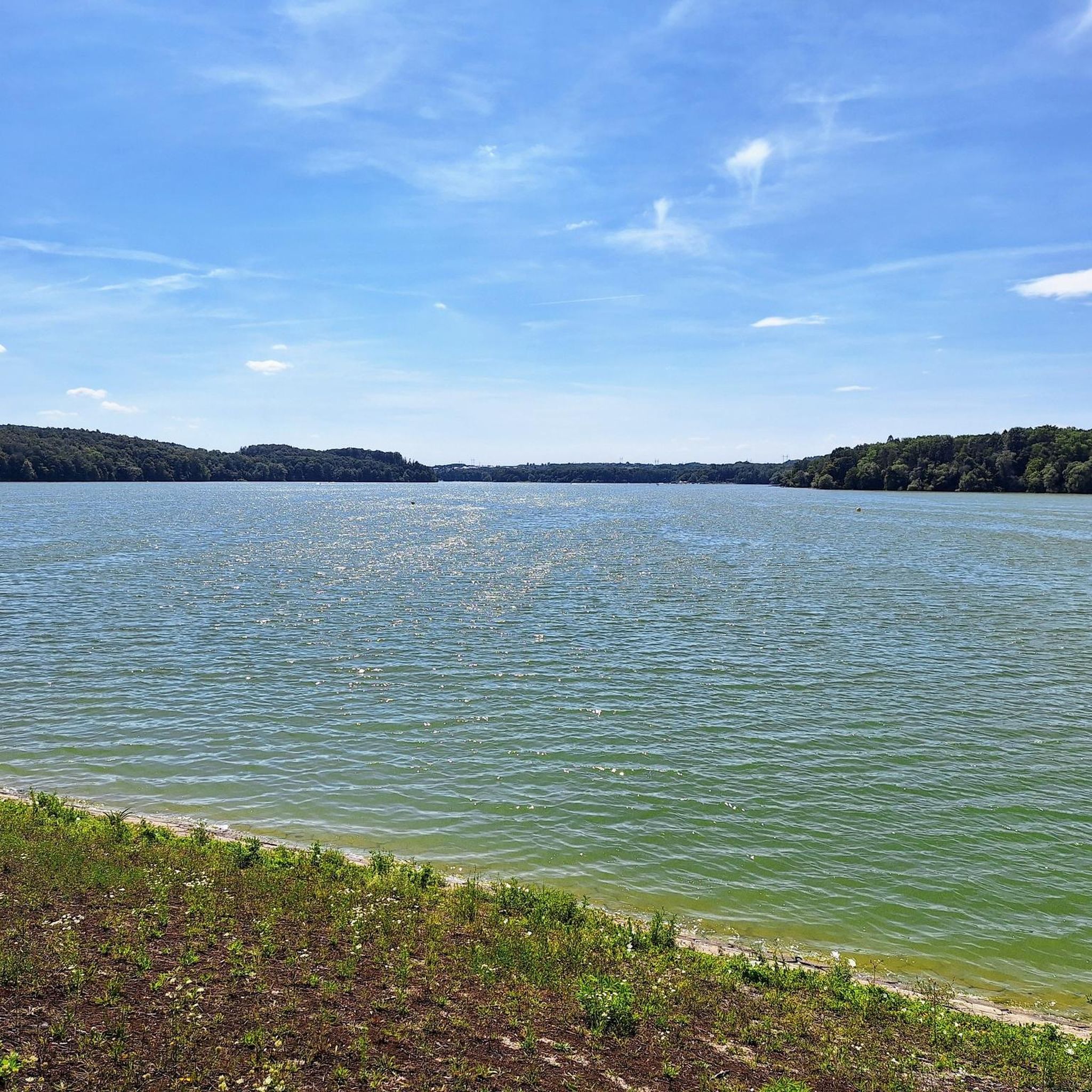
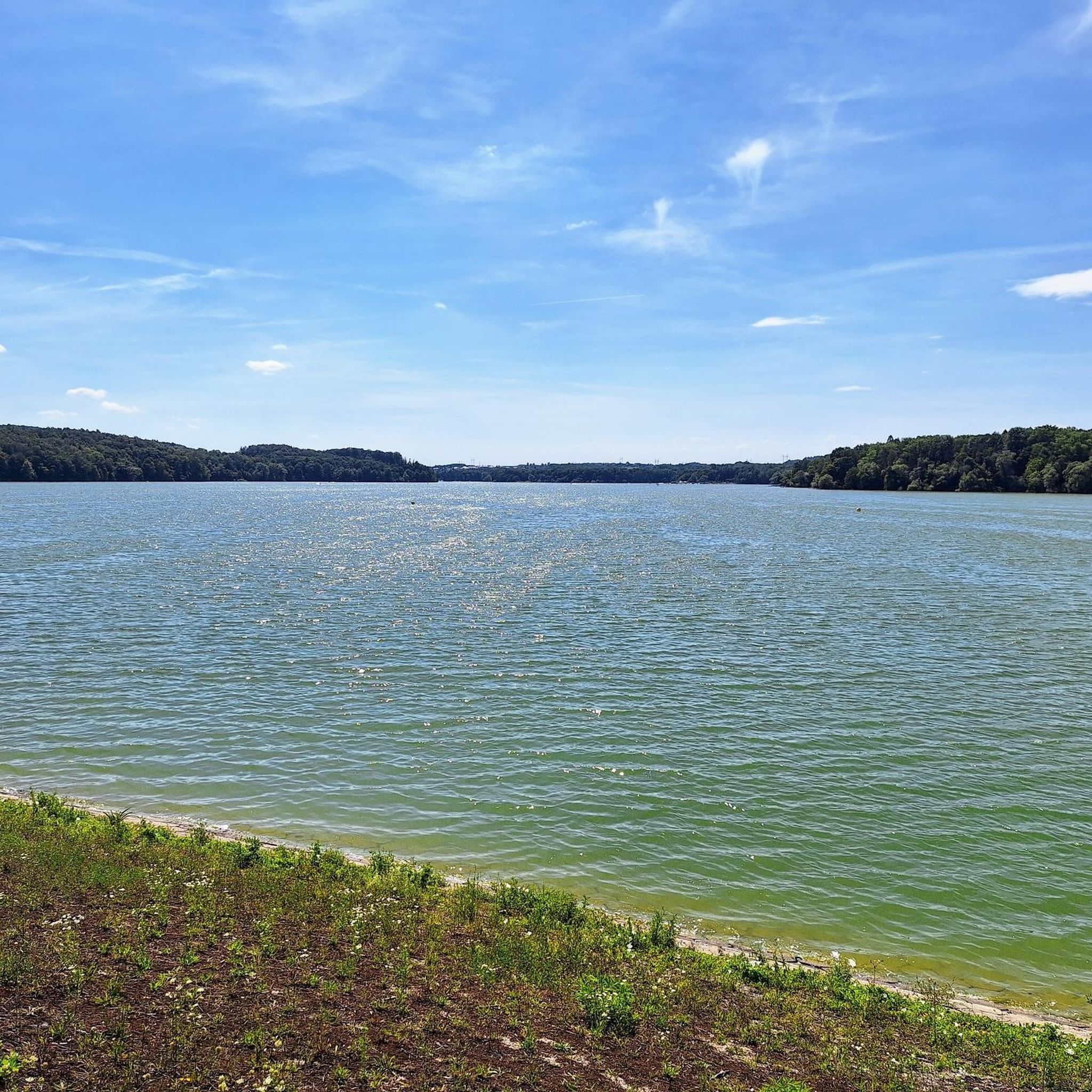
Mountain bike trails around Těrlicko Dam offer a diverse landscape for cycling, characterized by the large reservoir and surrounding natural features. The area features a mix of flat paths along the water's edge and routes extending into the broader Karviná district, with views of the Moravian-Silesian Beskids Mountains. Terrain includes riparian forests and open areas, providing varied riding experiences. The region's network of routes caters to different skill levels, from easy lakeside loops to more challenging climbs.
Best mountain bike…
Last updated: July 28, 2026
2
riders
25.4km
01:47
340m
340m
Moderate mountain bike ride. Good fitness required. Suitable for all skill levels.
2
riders
30.9km
01:48
180m
180m
Easy mountain bike ride. Great for any fitness level. Suitable for all skill levels.

Sign up for free
7
riders
60.2km
05:30
1,430m
1,430m
Hard mountain bike ride. Very good fitness required. Advanced riding skills necessary.
6
riders
85.7km
06:01
1,270m
1,270m
Hard mountain bike ride. Very good fitness required. Advanced riding skills necessary. Some portions of the route may require you to push your bike.
7
riders
51.3km
03:20
630m
630m
Moderate mountain bike ride. Good fitness required. Suitable for all skill levels.
Get access to more routes and recommendations from other explorers.
Sign up for free
Already have an account?
Our route recommendations are based on thousands of hikes, rides, and runs completed by other people on komoot.
Start today with a free account
Your next adventure awaits.
Login or Signup
Tips from the Community

A stylish wooden mountain cottage with a lookout tower, belonging to the Club of Czech Tourists, is located in the protected landscape area of Beskydy at an altitude of 706 m. Its location is an ideal starting point for year-round hiking and other sports activities. Next to the cottage, there is also a wooden church from 1640.
1
0
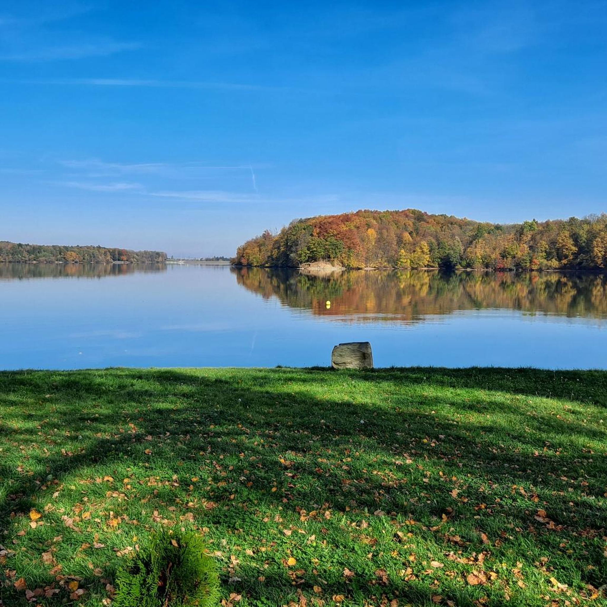
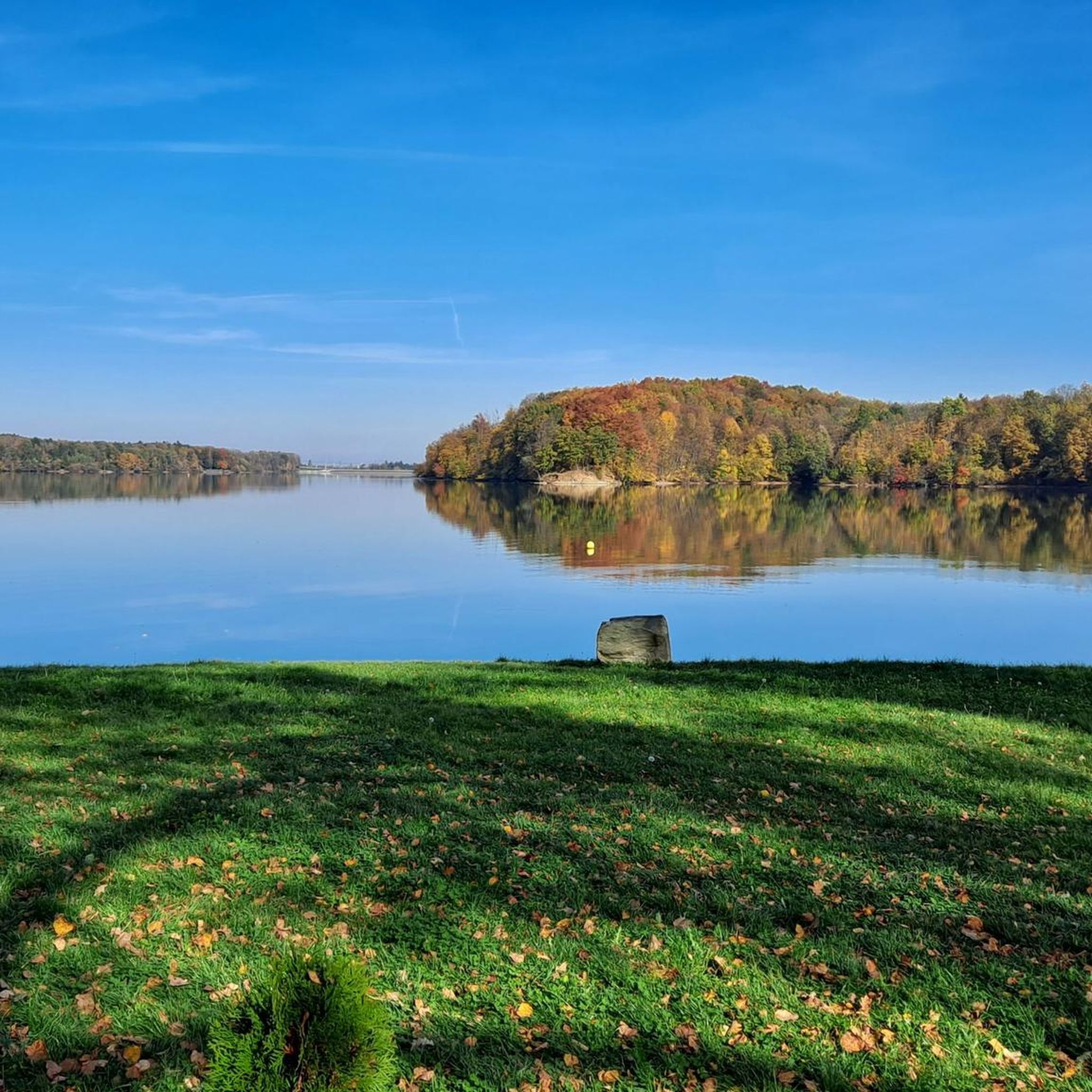
The Morávka water reservoir is a valley dam reservoir on the Morávka River near the village of the same name in the Moravian-Silesian Beskids, built in the 1960s. The main purposes of the reservoir are collecting reserves for drinking water production and flood protection. The area around the reservoir is subject to sanitary protection and swimming in it is not permitted.
1
0
The summit of Lysá hora (1324 m a.s.l.) is located in the Moravian-Silesian Beskids mountain range. Lysá hora (1324 m a.s.l.) is the highest peak of the Moravian-Silesian Beskids and the third most prominent Czech mountain.
0
0
Lysá hora (German Kahlberg; 1324 m a.s.l., previously reported height 1323 m a.s.l.) is the highest mountain in the Moravian-Silesian Beskids and Těšínsko region. It lies on the border of the municipalities of Krásná, Malenovice, Ostravice, and Staré Hamry. This peak was also the highest point of the Protectorate of Bohemia and Moravia between 1939–1945 (although it lies in Silesia). On the bare (lysá) summit, which is accessible by a road from Krásná, there is a characteristic telecommunication transmitter, a meteorological station, and several mountain huts.
0
0

Karwińskie Morze celebrates 10 years in 2026. To celebrate the 10th anniversary of the reservoir's opening, the city, in cooperation with the Dokořán initiative, the Regional Library in Karwina, and the "Juventus" Leisure Centre, is organizing a jubilee festival, which will take place on Saturday, August 29, 2026. Admission to the event is free. Concerts of live music, a beach party with a DJ, and improvised theatre performances await participants. For children and families, a path with tasks and prizes, creative activities, sensory play, and water attractions have been prepared. The program also includes sports activities, including yoga on the beach, exercises for families, and recreational competitions. https://gloslive.cz
0
0

A great place to relax. You can also take some great photos.
0
0

Probably the vast majority of people walking on their own cry when overcoming this section. and on a bike??? Mord.
0
0

a cottage on the route, crowded on weekends, I recommend
1
0
Frequently Asked Questions
What kind of terrain can I expect on mountain bike trails around Dam Těrlicko?
The terrain around Dam Těrlicko is quite varied. You'll find relatively flat paths along the reservoir's shoreline, suitable for relaxed rides, as well as routes that extend into the broader Karviná district, offering more challenging climbs and descents. The landscape includes riparian forests and open areas, with distant views of the Moravian-Silesian Beskids Mountains.
Are there mountain bike trails suitable for beginners or families around Dam Těrlicko?
Yes, there are options for beginners and families. For an easy ride, consider the Karviná Lake – Most Sokolovských Hrdinů loop from Havířov-Suchá. This 19.2-mile (30.9 km) path offers a gentle ride around the lake, suitable for all fitness levels. The area also features accessible paths like Cycling Route No. 56 along the reservoir shore.
What are some more challenging mountain bike routes near Dam Těrlicko?
For experienced riders seeking a challenge, the area offers routes with significant elevation gain. The Javorový Vrch Mountain Hut – Morávka Reservoir loop from Dobratice-Vojkovice is a difficult 38.3-mile (61.6 km) trail leading through mountainous terrain. Another demanding option is the Lysá Hora Summit – Morávka River loop from Havířov, which covers 85.7 miles (85.7 km) with substantial climbing.
Are there any scenic viewpoints or natural attractions to see while mountain biking near Dam Těrlicko?
Absolutely. The dam itself offers pleasant views, and the surrounding area provides picturesque scenery with the Moravian-Silesian Beskids Mountains in the background. You can also explore the Těrlické mokřady nature trail, a 2.5 km educational path through riparian forest and wetlands along the Stonávka River, showcasing local ecosystems and protected bird species.
What is the best time of year to go mountain biking at Dam Těrlicko?
The area is generally enjoyable for mountain biking from spring through autumn. During these seasons, the weather is typically mild, and the trails are in good condition. While winter cycling is possible, conditions can vary, with potential for ice or snow, especially on more elevated routes.
Are there any circular mountain bike routes around Dam Těrlicko?
Yes, many of the routes in the area are designed as loops, allowing you to start and end at the same point. Examples include the popular Babí hora loop from Havířov-Suchá, a moderate 15.8-mile (25.4 km) trail, and the easier Karviná Lake – Most Sokolovských Hrdinů loop from Havířov-Suchá.
Can I find places to eat or drink along the mountain bike trails near Dam Těrlicko?
Yes, the recreational infrastructure around Dam Těrlicko includes local establishments. You can find dining options with views of the reservoir at places like Jaškovská Krčma and Hájenka, which are popular spots for visitors to refuel after their rides.
Is there parking available for mountain bikers at Dam Těrlicko?
While specific parking locations for trailheads are not detailed, the area around Dam Těrlicko is a popular recreational hub with developed infrastructure. It is reasonable to expect parking facilities near key access points and recreational centers around the reservoir.
What do other mountain bikers say about the trails around Dam Těrlicko?
The mountain bike trails around Dam Těrlicko are highly rated by the komoot community, with an average score of 4.7 stars from over 10 reviews. Riders often praise the diverse terrain, from lakeside paths to more challenging climbs, and the scenic views of the reservoir and surrounding mountains.
Are there any other activities besides mountain biking available at Dam Těrlicko?
Yes, Dam Těrlicko is a versatile outdoor destination. The reservoir is popular for swimming, fishing, and various water sports like paddleboarding and boating, with rentals often available. In winter, it can transform into a spot for ice skating. There are also children's playgrounds and beaches like Pacalůvka and Hawaii.
How many mountain bike trails are available to explore in the Dam Těrlicko area?
There are at least 9 mountain bike trails available in the Dam Těrlicko area, catering to various skill levels from easy to difficult. This network provides a good range of options for exploring the region's diverse landscape.
Are the mountain bike trails around Dam Těrlicko suitable for dogs?
While specific regulations for dogs on trails are not provided, many natural areas in the Czech Republic allow dogs on trails, often requiring them to be on a leash. It's always best to observe local signage and ensure your dog is well-behaved and doesn't disturb wildlife or other trail users.
Most popular routes around Dam Těrlicko

Get inspired with the komoot mobile app


