The best road cycling routes around Dam Carlsfeld - Weiterswiese
4.5
(30)
527
riders
14
rides
Road cycling around Dam Carlsfeld - Weiterswiese offers routes through the high-altitude Erzgebirge (Ore Mountains), characterized by undulating terrain and significant elevation changes. The region features dense forests and the Dam Carlsfeld reservoir, providing a mix of challenging climbs and scenic descents. Well-paved roads and former railway lines offer varied surfaces for road cyclists. The landscape includes panoramic views from higher vantage points and tranquil environments within the woodlands.
Best road cycling routes around Dam Carlsfeld - Weiterswiese
- The most…
Last updated: May 14, 2026
10
riders
48.8km
02:16
640m
640m
Moderate road ride. Good fitness required. Mostly well-paved surfaces and easy to ride.
5.0
(1)
9
riders
29.0km
01:26
410m
410m
Moderate road ride. Good fitness required. Some segments of this route may be unpaved and difficult to ride.

Sign up for free
5.0
(1)
7
riders
41.4km
02:03
630m
630m
Moderate road ride. Good fitness required. Some segments of this route may be unpaved and difficult to ride.
4.4
(8)
104
riders
78.7km
03:47
1,010m
1,010m
Hard road ride. Very good fitness required. Some segments of this route may be unpaved and difficult to ride.
8
riders
77.2km
03:58
1,270m
1,270m
Hard road ride. Very good fitness required. Mostly well-paved surfaces and easy to ride.
Get access to more routes and recommendations from other explorers.
Sign up for free
Already have an account?
Our route recommendations are based on thousands of hikes, rides, and runs completed by other people on komoot.
Start today with a free account
Your next adventure awaits.
Login or Signup

Tips from the Community


World's Largest Freestanding Candle Arch On December 15, 2012, the world's largest freestanding candle arch was inaugurated in Johanngeorgenstadt at the 20th Original Johanngeorgenstadt Candle Arch Festival. This giant is 25 meters wide and, including the candles, 14.5 meters high, and consists of 700 tons of reinforced concrete and 15 tons of stainless steel. The new attraction, as well as the giant pyramid, was donated by Johanngeorgenstadt entrepreneur Siegfried Ott. - Symbols in the candle arch: ° Wonder flower represents the legends of the Ore Mountains. ° Lacemaker represents one aspect of Ore Mountain folk art. ° Miners represent mining in Saxony. ° Upward-reaching flower signifies that folk art found fertile ground in the Ore Mountains. ° Crossed swords symbolize the Free State of Saxony. The horseshoe is a reminder that a mountain blacksmith invented the Schwibbogen (candle arch). The hammer and chisel are further symbols of mining. The light angel, woodcarver, and incense smoker represent the folk art of the Ore Mountains.
0
0

Commemoration The suffering of the people of Johanngeorgenstadt at that time, against the backdrop of the mining town's renewed threat of losing its identity. When land subsidence and uranium ore mining occurred, the GDR government, at the urging of the Soviet Union, decided in 1951 to demolish the historic town center.
0
0

Here you can buy cheap coffee, cigarettes, etc. Even on "normal days" it's busy.
0
1

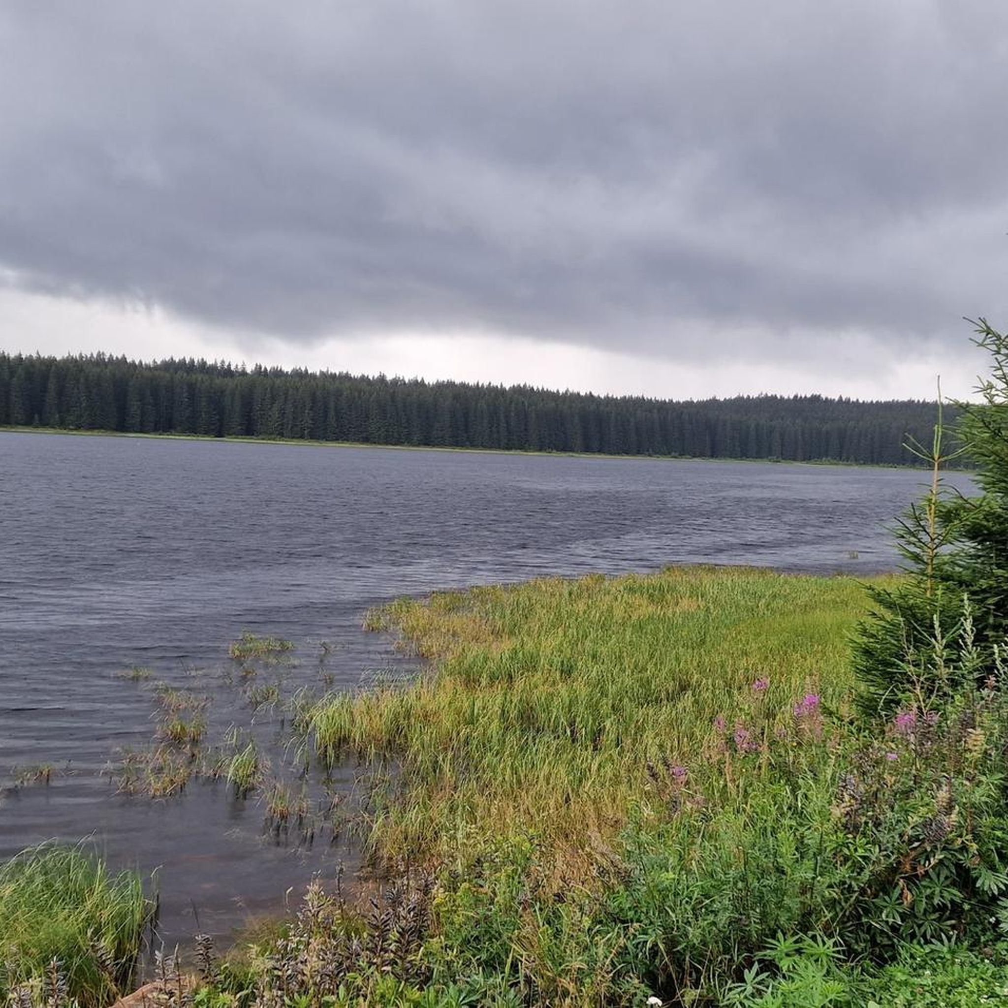
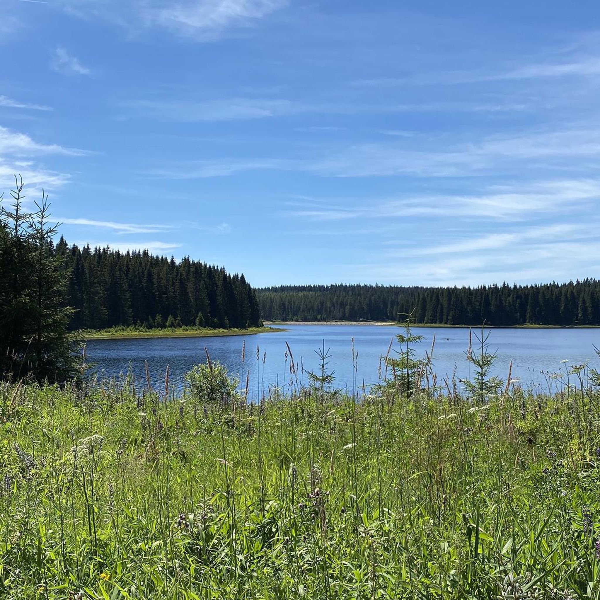
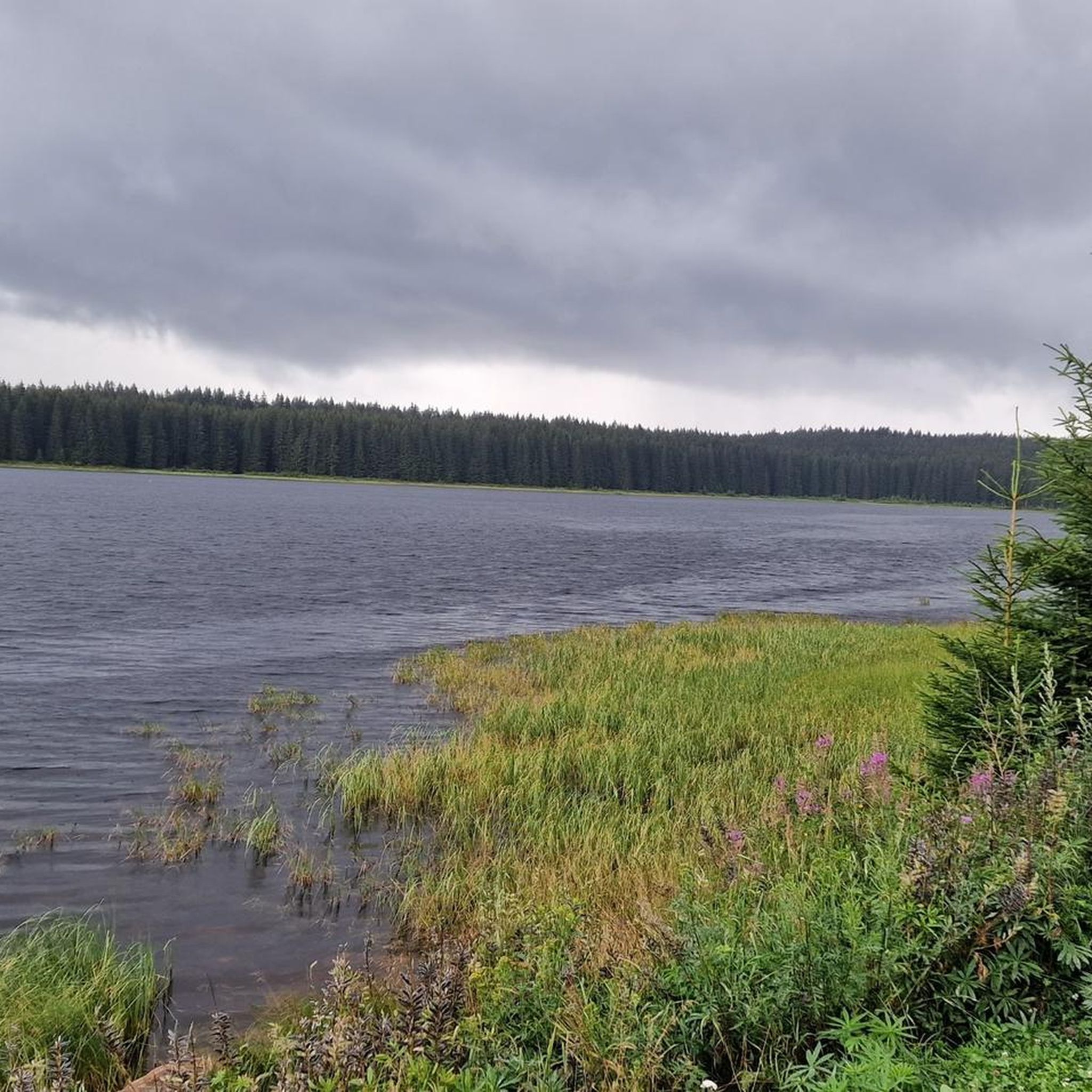
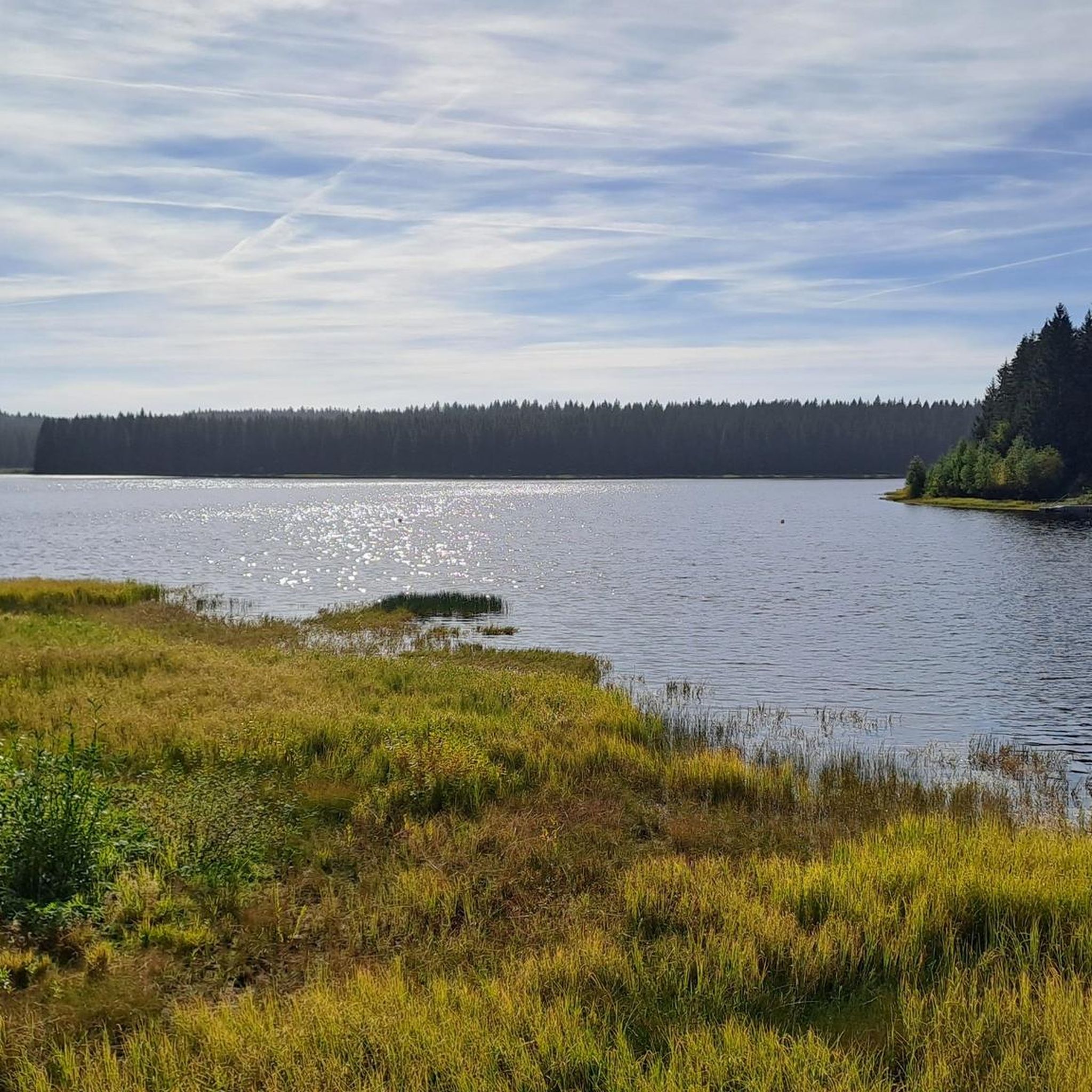
great view of an offshoot of the Eibenstock dam
0
0


The largest free-standing candle arch in the world is located in Johanngeorgenstadt. It is 25 m wide, 14.5 m high and consists of 700 tons of reinforced concrete and 15 tons of stainless steel.
1
0

Very worth seeing, you have to see it
0
0
Frequently Asked Questions
What kind of terrain can I expect when road cycling around Dam Carlsfeld - Weiterswiese?
The region is characterized by the high-altitude Erzgebirge (Ore Mountains), offering an undulating landscape with numerous ascents and descents. You'll find challenging climbs and rewarding descents, with many routes featuring well-paved surfaces through dense forests and along scenic valleys. The Dam Carlsfeld itself is situated at approximately 905 meters above sea level, contributing to significant elevation changes.
How many road cycling routes are available in the Dam Carlsfeld - Weiterswiese area?
There are 14 dedicated road cycling routes around Dam Carlsfeld - Weiterswiese listed in this guide. These routes cater to various fitness levels, with 10 moderate and 4 difficult options available.
Are there any easy road cycling routes for beginners in this area?
The road cycling routes around Dam Carlsfeld - Weiterswiese are generally designed for moderate to difficult fitness levels, with no routes specifically categorized as easy. Cyclists should be prepared for significant elevation changes and undulating terrain.
What are some notable landmarks or natural features to see along the road cycling routes?
Cyclists can enjoy breathtaking panoramic views of the Ore Mountains and lush valleys, especially from higher vantage points. The Carlsfeld Reservoir (Wilzsch Reservoir) itself is a prominent landmark, with its historic dam wall accessible for crossing. Other points of interest include the View of Weitersglashütte Reservoir and the Boundary Stones in Carlsfeld.
What is the best time of year for road cycling in Dam Carlsfeld - Weiterswiese?
Given the high-altitude setting and challenging terrain, the warmer months from late spring to early autumn are generally the most favorable for road cycling. During this period, you can expect more stable weather conditions and enjoy the full beauty of the forested landscapes and panoramic views.
Are there any circular road cycling routes around Dam Carlsfeld - Weiterswiese?
Yes, many of the routes in the area are circular. For example, the View of Eibenstock Reservoir loop from Eibenstock offers a moderate 29 km ride, and the Sauschwemme Inn – Teufelssteine Rock Formation loop from Eibenstock is a 41.3 km option through varied terrain.
What do other road cyclists enjoy most about the routes in this region?
The area is highly rated by the komoot community, with an average score of 4.4 stars from over 20 reviews. Cyclists often praise the challenging climbs, the stunning natural beauty of the Ore Mountains, and the generally low traffic on many routes, which allows for a more relaxed and safer cycling experience.
Are there road cycling routes between 30-50 km in length?
Yes, there are several road cycling routes in this distance range. For instance, the View of Schönheide – Wernesgrüner Brewery loop from Eibenstock is 48.8 km, and the Sauschwemme Inn – Teufelssteine Rock Formation loop from Eibenstock covers 41.3 km.
What are the traffic conditions like on the road cycling routes?
Many routes in the Dam Carlsfeld - Weiterswiese area, particularly those on public roads or converted railway lines, are noted for having modest traffic. This allows for a more relaxed and safer cycling experience, away from busy main roads.
Are there any challenging road cycling routes for experienced riders?
Absolutely. The Erzgebirge provides plenty of opportunities for significant elevation gain. Routes like the Schwarzenberg Castle – Old Bockau railroad tunnel loop from Schönheide Süd (78.7 km with over 1000m elevation gain) and the View of Klingenthal – Mühlleithen Pass summit (860 m) loop from Schönheide Süd (77.1 km with over 1200m elevation gain) are categorized as difficult and are ideal for very good fitness levels.
Is there parking available for road cyclists in the Dam Carlsfeld - Weiterswiese area?
While specific parking locations are not detailed, the region is well-equipped for outdoor activities. Cyclists typically find parking in or near the starting points of routes, especially in towns like Eibenstock or Schönheide Süd, which serve as common access points for the trails.
Most popular routes around Dam Carlsfeld - Weiterswiese
Most popular attractions around Dam Carlsfeld - Weiterswiese

Get inspired with the komoot mobile app


Explore more
Browse the best Road cycling routes in other regions.
