The best walks and hikes around Area H (Robson Valley/Canoe)
4.7
(326)
2,180
hikers
18
hikes
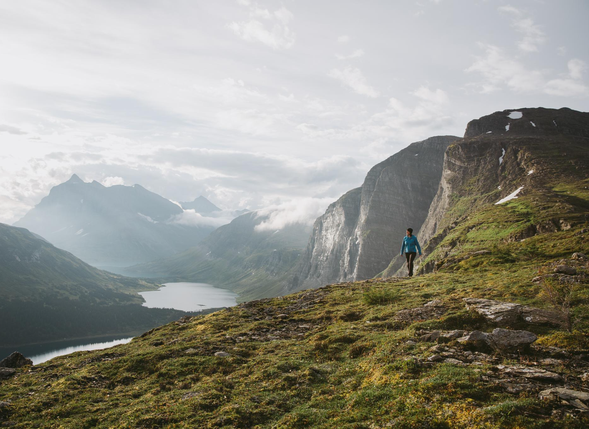
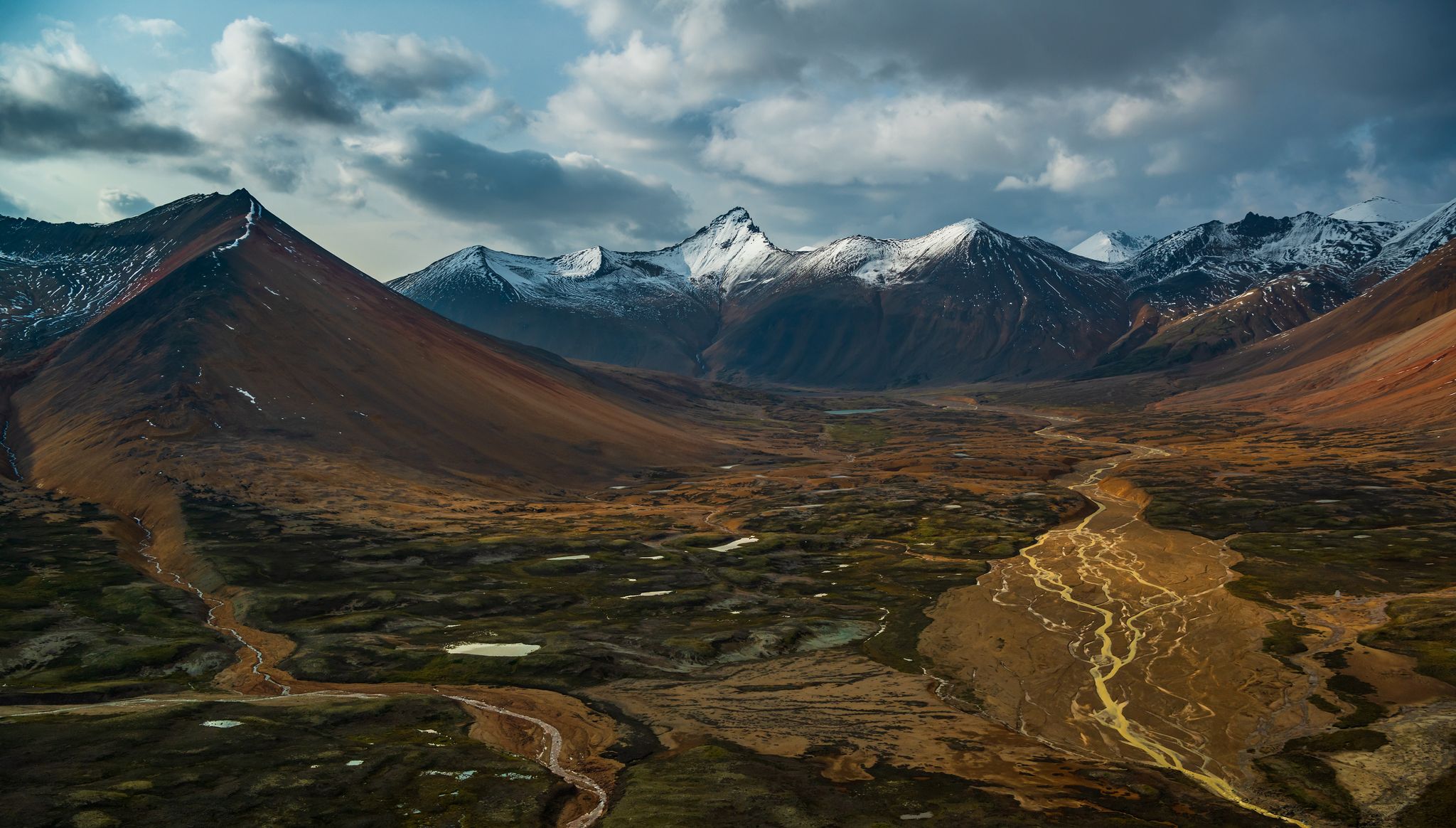
Hiking around Area H (Robson Valley/Canoe) offers diverse experiences across a landscape defined by the Rocky Mountains to the east and the Cariboo Mountains to the west. This region features Mount Robson, the highest peak in the Canadian Rockies, alongside the world's most extensive inland rainforest. The terrain includes river valleys, ancient cedar-hemlock stands, and alpine environments, with the Fraser River headwaters contributing to its varied ecosystems.
Best hiking trails around Area H (Robson Valley/Canoe)
- The most popular hiking route…
Last updated: November 8, 2026
4.9
(165)
1,241
hikers
13.4km
03:41
230m
230m
Moderate hike. Good fitness required. Easily walkable paths.
4.4
(31)
113
hikers
9.33km
02:37
180m
180m
Moderate hike. Good fitness required. Easily walkable paths.

4.6
(5)
54
hikers
708m
00:12
10m
10m
Easy hike. Easily walkable paths.
14.1km
06:11
1,310m
1,310m
Hard hike. Very good fitness required. Easily walkable paths.
4.3
(33)
161
hikers
5.86km
01:29
20m
20m
Easy hike. Easily walkable paths.
Get access to more routes and recommendations from other explorers.
Already have an account?
Our route recommendations are based on thousands of hikes, rides, and runs completed by other people on komoot.
Start today with a free account
Your next adventure awaits.
Other adventures around Area H (Robson Valley/Canoe)


Tips from the Community

blue and very still water that perfectly reflects the summit of Mt. Robson in the background
0
0

Enjoy magnificent views towards Canoe Mountain from this bench on the trails by Swift Creek. While you admire its north-facing aspect, consider that the mountain features the highest drivable road in the Canadian Rockies. ATV tours on the mountain are common.
0
0
This is as far up the valley as the trail alongside Swift Creek goes. Your reward is a lovely footbridge crossing and excellent views of the creek below.
0
0
Even a relatively short hike along Swift Creek opens up marvellous views towards Canoe Mountain to the south and the Premier Range. It's possible to complete a loop of just less than 10 kilometres (6 mi) taking in both sides of the creek.
0
0

This short trail leads you to Rearguard Falls, which is the upper reach of the annual salmon spawning run. There's a wheelchair accessible viewpoint a short distance from the parking area, and a second one at the end of the trail that looks directly over the falls.
1
0

A very beautiful mountain lake and a great ensemble with the mountains.
1
0

Parking for the Mount Terry Fox Trail is located on Tinsley Pit Road, in a small dirt pullout. The higher the road goes, the rougher it gets, so gauge how far you drive up to the trailhead based on conditions and your vehicle's off-road capability.
0
0
Mount Terry Fox Trail begins in thick forest and climbs up 1,500 meters before breaking into alpine terrain. Tackle the Mount Terry Fox Trail between Mid-July and late September, and keep in mind it can be windy above treeline year-round.
0
0
Frequently Asked Questions
How many hiking trails are available in Area H (Robson Valley/Canoe)?
Area H (Robson Valley/Canoe) offers a diverse range of hiking experiences, with over 15 trails documented on komoot. These routes cater to various skill levels, from easy strolls to challenging multi-day treks.
What kind of terrain can I expect on hikes in Area H (Robson Valley/Canoe)?
The region features incredibly varied terrain, from the majestic peaks of the Rocky and Cariboo Mountains to the unique ancient inland rainforests. You'll find river valleys, alpine environments, and trails winding through old-growth cedar-hemlock stands. Expect dramatic mountain vistas, lush forests, and sometimes rugged paths.
Are there any notable waterfalls to see while hiking in Area H (Robson Valley/Canoe)?
Yes, the region is home to impressive waterfalls. You can visit Overlander Falls, the largest waterfall on the Fraser River, which is easily accessible via the Overlander Falls Trail. Another significant waterfall is Rearguard Falls, known as the final upstream barrier for Chinook salmon migration.
Can I see ancient forests or unique natural features on the trails?
Absolutely. The Robson Valley is renowned for harboring the world's most extensive inland rainforest in the Northern Hemisphere. You can explore areas like the Ancient Forest / Chun T'oh Whudujut and Primordial Grove, which feature massive Western Redcedar trees, some over 1200 years old, often with boardwalks for easy access.
What kind of wildlife might I encounter on the trails?
Area H is rich in wildlife. Hikers often spot bears, elk, moose, foxes, and coyotes. The region is also a haven for birdwatchers, with over 182 species. Uniquely, the Robson Valley is the only place in the Rocky Mountains where grizzly bears still feed on wild ocean-going salmon, making it an exceptional area for wildlife viewing.
Are there easy or family-friendly hiking options in Area H (Robson Valley/Canoe)?
Yes, there are many easy and family-friendly trails. For instance, the Overlander Falls Trail is a short, accessible loop. The Berg Lake Trail to Kinney Lake offers a beautiful, moderate walk to Kinney Lake. In Valemount, the Cranberry Marsh loop provides an interpretive trail perfect for wildlife observation.
Are there any challenging multi-day hikes for experienced hikers?
For experienced hikers seeking a challenge, the region offers several options. The renowned Berg Lake Trail, while starting with an accessible section to Kinney Lake, extends into a world-class backcountry route with breathtaking views of glaciers and alpine meadows. Other longer adventures include trails around Mount Fitzwilliam and the multi-night Moose River Route.
What do other hikers say about the trails in Area H (Robson Valley/Canoe)?
The trails in Area H (Robson Valley/Canoe) are highly regarded by the komoot community, boasting an average rating of 4.7 stars from over 240 reviews. Hikers frequently praise the stunning mountain vistas, the unique ancient rainforests, and the diverse range of trails suitable for all abilities.
Are there any circular hiking routes in the area?
Yes, you can find several circular routes. The Overlander Falls Trail is a popular loop that takes you to the impressive waterfall. Near Valemount, the Cranberry Marsh loop offers an easy, scenic walk around the marsh.
What are the best seasons for hiking in Area H (Robson Valley/Canoe)?
The best seasons for hiking are typically late spring, summer, and early fall (May to October). During these months, trails are generally snow-free, and the weather is more favorable. Summer offers wildflowers and warmer temperatures, while fall brings vibrant colors. Some higher elevation trails may still have snow into early summer.
Is public transport available to reach trailheads?
Public transport options directly to many remote trailheads in Area H are limited. Most visitors rely on personal vehicles. However, some popular areas, particularly within Mount Robson Provincial Park, may have shuttle services or be accessible via main roads where hitchhiking is sometimes an option for longer routes. It's best to plan for private transportation.
Are permits required for hiking in Mount Robson Provincial Park?
Yes, for backcountry camping and some longer trails like the Berg Lake Trail within Mount Robson Provincial Park, permits and reservations are mandatory. It's crucial to book these well in advance, especially for popular routes, as spaces are limited. For day hikes on shorter trails, permits are generally not required, but always check the latest BC Parks regulations.
Are there any specific viewpoints of Mount Robson itself?
Absolutely. Mount Robson, the highest peak in the Canadian Rockies, is a dominant feature. Excellent viewpoints are available from the Mount Robson Visitor Centre. The Berg Lake Trail to Kinney Lake also offers increasingly spectacular views of the mountain as you progress. The Robson Meadows Lookout Trail near Valemount provides another short climb to a viewpoint overlooking Mount Robson and the valley.
Most popular routes around Area H (Robson Valley/Canoe)
Most popular attractions around Area H (Robson Valley/Canoe)

Get inspired with the komoot mobile app


Explore more
Browse the best Hikes in other regions.
