RoutesPlannerFeaturesUpdates
App
Login or Signup
Get the App
Login or Signup
Routes
Hikes
Canada
British Columbia

Area B (Shelter Bay/Mica Creek)

Routes
Hikes
Canada
British Columbia

Area B (Shelter Bay/Mica Creek)

The best walks and hikes around Area B (Shelter Bay/Mica Creek)

4.4

(365)

2,815

hikers

39

hikes

Hiking around Area B (Shelter Bay/Mica Creek) offers diverse and rugged landscapes within the Columbia-Shuswap Regional District of British Columbia. The region features significant mountainous terrain, ancient forests with massive Western Red Cedars, and serene subalpine lakes. Hikers can explore trails that traverse river valleys and provide views of glaciers and waterfalls.

Best hiking trails around Area B (Shelter Bay/Mica Creek)

  • The most popular hiking route is Mount Begbie Trail, a 10.4 miles (16.8 km) trail that takes 8โ€ฆ

Last updated: November 9, 2026

4.6

(5)

68

hikers

#1.

Broken Bridge Trail

1.78km

00:37

100m

100m

Easy hike. Easily walkable paths.

Navigate with deviceSend to Phone
Save
Easy

5.0

(3)

25

hikers

16.8km

08:31

2,000m

2,000m

Hard hike. Very good fitness required. Easily walkable paths.

Hard
guide_signup
Let us show you the way with the komoot mobile app
With aย free komoot account, you can easily find, customize, and navigate endless outdoor adventures.
Sign up for free

4.0

(3)

15

hikers

Easy hike. Easily walkable paths.

Easy

5.0

(3)

14

hikers

7.48km

03:47

880m

880m

Moderate hike. Good fitness required. Easily walkable paths.

Moderate

Moderate hike. Good fitness required. Easily walkable paths.

Moderate
Sign up for free to see 35 more hikes around Area B (Shelter Bay/Mica Creek).

Get access to more routes and recommendations from other explorers.

Sign up for free

Already have an account?

Our route recommendations are based on thousands of hikes, rides, and runs completed by other people on komoot.

Start today with a free account

Your next adventure awaits.

Login or Signup

Popular around Area B (Shelter Bay/Mica Creek)
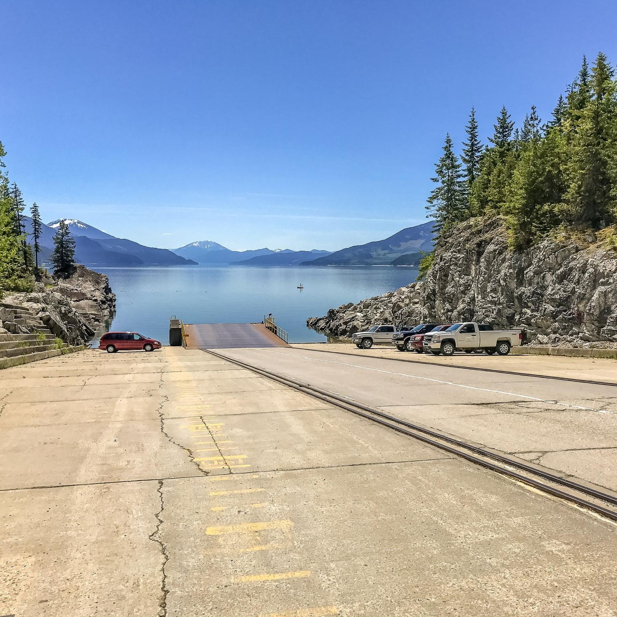
MTB Trails around Area B (Shelter Bay/Mica Creek)
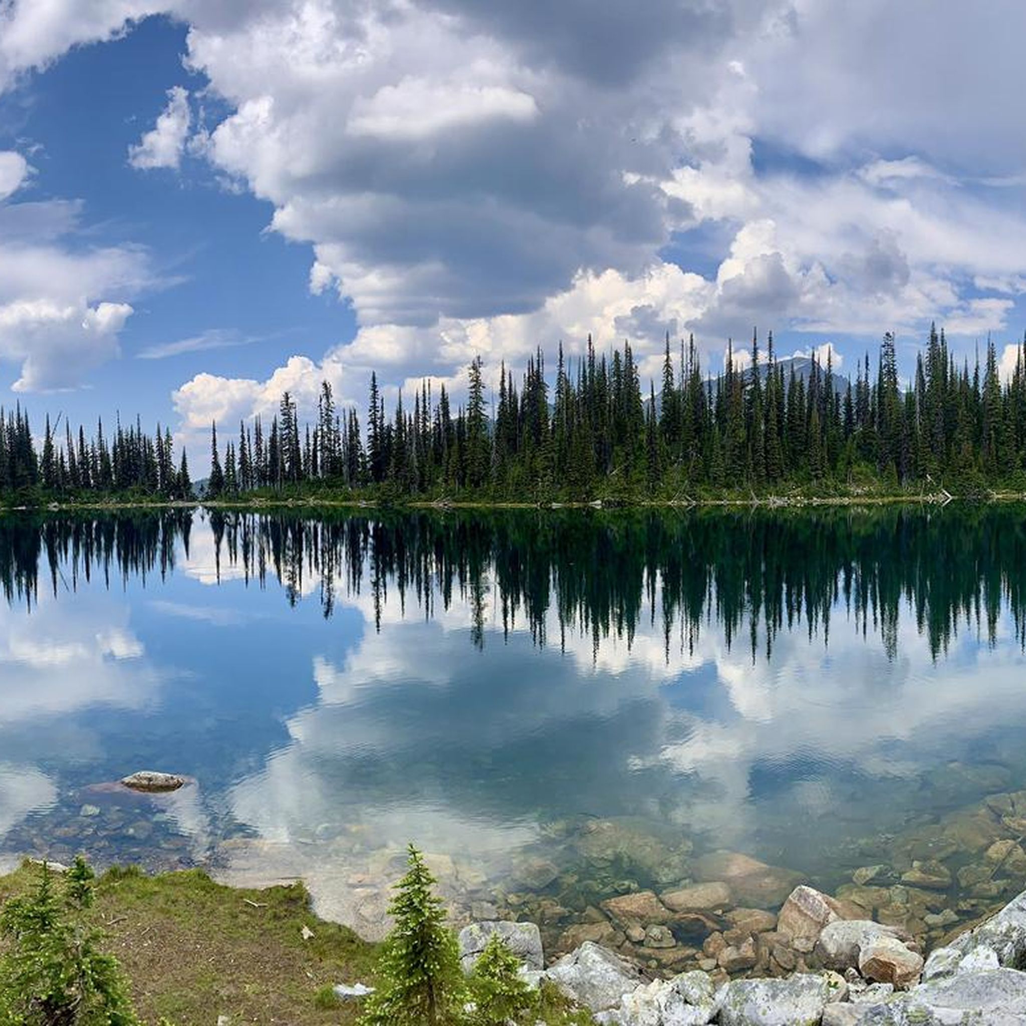
Running Trails around Area B (Shelter Bay/Mica Creek)
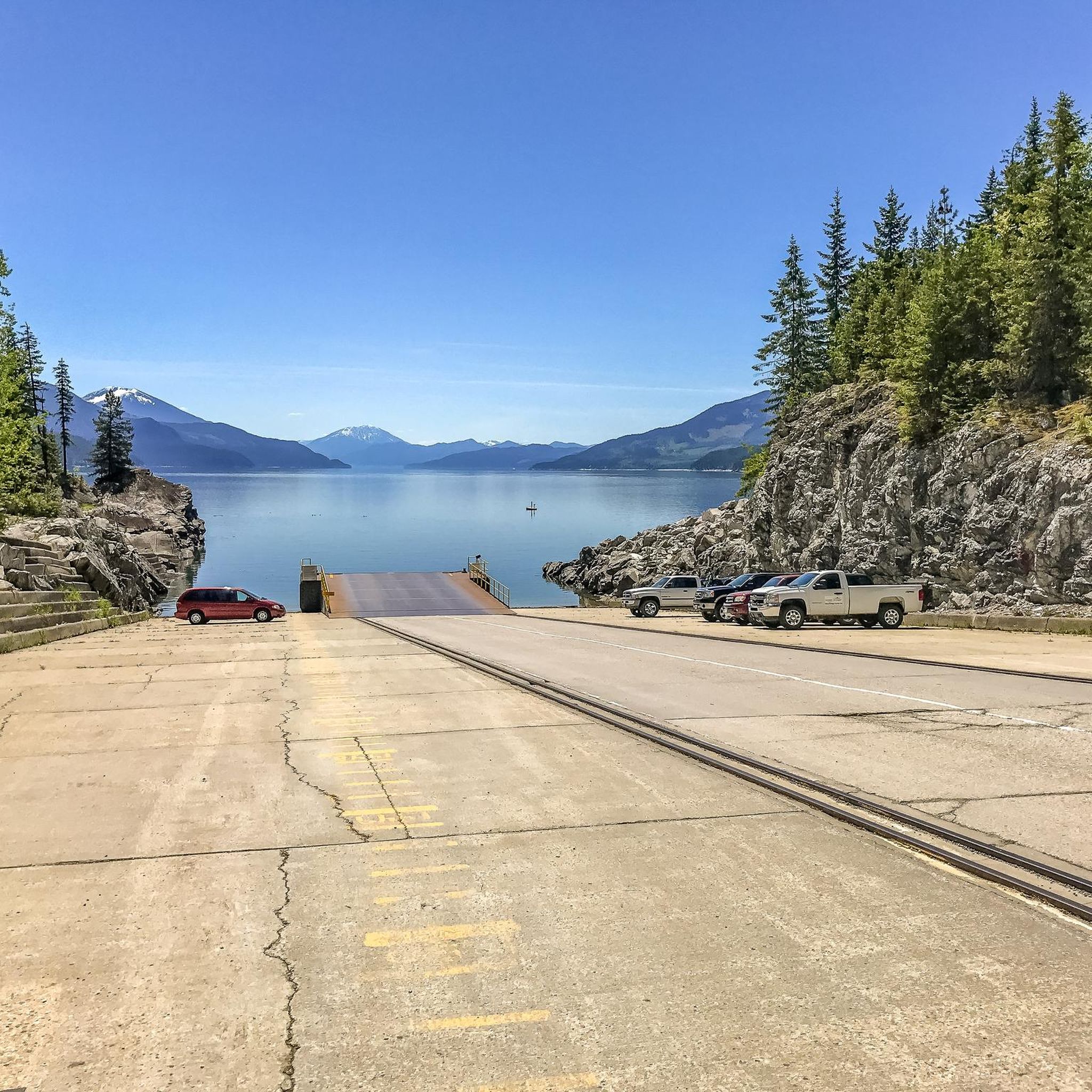
Cycling around Area B (Shelter Bay/Mica Creek)

Tips from the Community

Andrus
September 28, 2026, Sutton Place Hotel

This ski-in ski-out hotel sits at the base of Revelstoke Mountain Resort and has everything you need for your visit, no matter the time of year. Of course skiing and snowboarding dominate during with, but Revelstoke has a lot to offer in the summer as well with plenty of hiking and mountain biking trails starting right from the hotel and surrounding area.

0

0

Andrus
September 28, 2026, Bottoms Up Trail

This trail is one for those looking to get some quick elevation gain as it rises nearly 300 metres in 3 kilometres. Your legs and lungs will definitely feel the climb, but there are some great viewpoint on the way for you to stop and catch your breath before continuing onward.

0

0

velovan
June 16, 2026, Columbia River

Nice walk along the Columbia River shore

0

0

The Broken Bridge Trail is a very pleasant nature walk ending in a waterfall. It was closed for about 25 years but has since reopened. There is limited parking along the Meadiws-in-the-Sky Parkway, and from there you can walk to the trailhead, which is on the edge of the forest off the road. The trail itself is short but beautiful, forested hike with a great view of the waterfall at the end.

1

0

Revelstoke Mountain Resort is one of North Americaโ€™s premier mountain destinations, located in the Selkirk Mountains near the town of Revelstoke. Known for having the greatest vertical drop in North America, the resort offers expansive terrain for skiing, snowboarding, and backcountry adventures. Summer activities include alpine hiking, mountain biking, and scenic gondola rides. The resort offers stunning views from high above the Columbia River Valley.

0

0

Revelstoke Mountain Resortโ€™s mid-station is accessed via the Revelation Gondola and provides excellent access to alpine hiking and panoramic mountain views. The mid-station also features a 75-meter suspension bridge, the Pipe Mountain Coaster, and several dining options.

0

0

The Kill the Banker Trail runs 3.8 kilometers from the mid-station to the Mackenzie Outpost beneath the Revelation Gondola. The trail gets its name from the steep ski run located directly underneath the gondola. The first half of the route is relatively mellow, while the second half zigzags through a boulder field and along a cliff face. Recently it's become a popular uphill running route.

0

0

This is a small backpacker campground that sits just below the glacier on Mount Begbie. The campground consists of four tent pads and a toilet.

0

0

Frequently Asked Questions

How many hiking trails are available in Area B (Shelter Bay/Mica Creek)?

Area B (Shelter Bay/Mica Creek) offers a diverse network of over 35 hiking trails. These range from easy walks suitable for all abilities to challenging multi-day treks through mountainous terrain.

What types of landscapes can I expect to see while hiking in Area B?

Hikers in Area B will encounter a variety of stunning landscapes. The region is characterized by significant mountainous terrain, ancient forests with massive Western Red Cedars, and serene subalpine lakes. Trails often traverse river valleys and provide views of glaciers and waterfalls, offering a truly immersive natural experience.

Are there any easy, family-friendly hiking options in the area?

Yes, there are several easy trails suitable for families. The Giant Cedars Boardwalk Trail loop is a short, accessible option, perfect for all skill levels. Another easy choice is the McCrea Lake Trail, which winds through dense forest to a peaceful lake.

What are some notable natural attractions or landmarks to explore?

The region is rich in natural beauty. You can visit the Giant Cedars Boardwalk to experience ancient forests. Other highlights include serene subalpine lakes like Eva Lake and Miller Lake, and viewpoints such as Views of Jade Lake.

Are there any circular hiking routes in Area B?

Yes, for those who prefer circular routes, the Greenbelt Pathway loop โ€” Revelstoke is a popular choice. This 7.2 km trail leads through the scenic Columbia River Valley and typically takes about 1 hour 50 minutes to complete.

What is the best season for hiking in Area B (Shelter Bay/Mica Creek)?

The best season for hiking in Area B is generally from late spring to early autumn. During these months, trails are typically clear of snow, and the weather is most favorable for exploring the mountainous terrain and ancient forests. Some higher elevation trails may remain snow-covered into early summer.

Are there any challenging hikes for experienced trekkers?

Absolutely. For experienced trekkers seeking a challenge, the Mount Begbie Trail is a demanding option. This 16.8 km route features significant elevation gain, offering panoramic views of the Selkirk Mountains and requiring good fitness and alpine experience.

What do other hikers enjoy most about the trails in Area B?

The trails in Area B are highly rated by the komoot community, with an average score of 4.5 stars from over 270 reviews. Hikers frequently praise the stunning scenery, the diversity of landscapes from ancient forests to subalpine lakes, and the rewarding views from challenging routes.

Is public transport available to reach trailheads in Area B?

Public transport options directly to many remote trailheads in Area B (Shelter Bay/Mica Creek) are limited. It is generally recommended to have personal transportation to access the diverse hiking opportunities throughout the region.

Can I expect to see wildlife while hiking in this region?

Yes, Area B's diverse ecosystems support a variety of wildlife. Hikers may encounter creatures such as black bears, caribou, moose, and bighorn sheep. It's always advisable to be aware of your surroundings and follow wildlife safety guidelines.

Are there any trails that feature waterfalls or glaciers?

The mountainous terrain of Area B, particularly its proximity to areas like Jasper National Park, means that glaciers and waterfalls are prominent features. While specific routes are not listed, many trails in the region offer views of these natural wonders, especially at higher elevations and along river valleys.

Most popular routes around Area B (Shelter Bay/Mica Creek)

Easy hikes around Area B (Shelter Bay/Mica Creek)

Most popular attractions around Area B (Shelter Bay/Mica Creek)

Places to see

Store rating

Get inspired with the komoot mobile app

With aย free komoot account, you can easily find, customize, and navigate endless outdoor adventures.

or

Join komoot Now
Store rating

Explore more

Browse the best Hikes in other regions.

Rocky MountainsSelkirk MountainsMonashee MountainsElectoral Area AAlberni-ClayoquotVancouver IslandVancouverArea C (Pemberton Valley/Mount Currie/D'Arcy)Metro Vancouver Regional ParksArea A (Kicking Horse/Kinbasket Lake)Area D (Oyster Bay/Buttle Lake)Area D (Elaho/Garibaldi)Yoho National ParkBurnabyBeaver Lodge Forest LandsSaanichNanaimoEast Central Okanagan Electoral AreaColony Farm Regional ParkCentral Okanagan JFraser River Delta -- RamsarCowichan Valley GArea G (Forster Creek/Mount Assiniboine)Okanagan LakeArea B (South Fraser Canyon/Sunshine Valley)Area A (Baynes Sound)Purcell MountainsSunshine Coast Regional DistrictArea E (Chilliwack River Valley)SurreyArea P (Rivers and the Peaks)Area F (McConnell Creek/Hatzic Prairie)Area F (Columbia Lake/Windermere Lake)Hazelton MountainsArea D (Falkland/Silver Creek)Stave West Forest & Recreation AreaSpallumcheenNorth Okanagan BAbbotsfordArea L (Grasslands)North CowichanArea A (Upper Flathead/Elk Valley)Kanaka Creek Regional ParkBurns Bog Ecological Conservancy AreaFraser Islands Regional Park ReserveNanaimo GTynehead Regional ParkLangleyArea C (Arrowsmith-Benson)Upper Trent River WoodlandsSurrey Bend Regional ParkArea C (Moyie/Bull River)Coquitlam WatershedArea F (Grindrod/Ashton Creek/Mabel Lake)Maple RidgeStephens Coyote Ridge Regional ParkKootenay National ParkOkanagan Mountain Provincial ParkArea C (Puntledge/Black Creek)Woodley Range Ecological ReserveCariboo MountainsRichmondBeaufort East WoodlandsArea H (Lighthouse Country)Area G (Deroche/Dewdney/Sumas Mountain)K'ร“moks Royston LandsArea A (Kyuquot/Nootka/Sayward)Tsable Lakes WoodlandsRobert'S Lake Regional ParkGlen Valley Regional ParkAkamina-Kishinena Provincial ParkArea A (Wells Gray Country)Upper Puntledge River WoodlandsArea C (Sasquatch Country)Central SaanichUpper Qualicum River WoodlandsStave LakePacific Rim National Park Reserve - Long Beach UnitStrathcona Provincial ParkCypress Provincial ParkArea H (The Slocan Valley)Fraser Valley DCrown Land ReservePacific Rim National Park Reserve - West Coast Trail UnitStikine RegionUpper Little Qualicum River WoodlandsShuswap LakeOkanagan-Similkameen DWells Gray Provincial ParkBurnaby Lake Regional ParkVictoriaEagle Mountain Recreation SiteSumas Mountain Regional ParkDawley Passage Provincial ParkIona Beach Regional ParkArea N (Beautiful Nicola Valley - South)Area E (Moberly Lake/Sukunka Valley)Blackcomb Glacier Provincial ParkArea C (Chilako River/Nechako)DeltaStanley Park National Historic SiteAyum Creek Regional Park ReservePowell LakeArea E (Eagle River Valley)Callaghan ConservancyElk Falls Provincial ParkTantalus Provincial ParkMount Geoffrey Escarpment Provincial ParkGaribaldi Provincial ParkBoyle Point Provincial ParkBlaney Bog Regional Park ReserveCapital GArea H (Robson Valley/Canoe)Gowlland Tod Provincial ParkArea B (Shawnigan Lake)Blue Mountain Recreation SiteColumbia National Wildlife AreaArea F (Alberni Highway)Juan De Fuca Provincial ParkArea C (Blind Bay/Sorrento)Telemark Cross-Country Ski Trails Recreation SiteTษ™mtษ™mรญxสทtษ™n/Belcarra Regional ParkStawamus Chief Provincial ParkCapilano River Regional ParkComox Valley B (Lazo North)Deas Island Regional ParkBurnaby Mountain Conservation AreaSooke Hills Wilderness Regional ParkInland Lake Provincial ParkLarch Hills Trails Recreation SiteSeal Bay Regional Nature ParkWhistler Interpretive ForestUbc Malcolm Knapp Research ForestArea B (Paradise Valley)Area A (Malaspina/Toba)Area B (Lake Koocanusa)Showh Lakes-Ancient Cedars Trail Recreation SiteSayres Lake Recreation SiteLittle Qualicum Falls Provincial ParkArea H (Manning Park/Tulameen/Siwash)Koksilah River Provincial ParkBrackendale Eagles Provincial ParkHelliwell Provincial ParkArea B (Discovery Islands/Mainland Inlets)Pacific Spirit Regional ParkCowichan Valley FCodd Wetland Ecological Conservancy AreaArea D (Lardeau Valley/Duncan Lake)Harrison LakeMount Revelstoke National ParkArea F (Scotch Creek/Seymour Arm)Kennedy Lake Provincial ParkAlberni - Ash River Woodlandsศฝรกu,Welแน‰ewฬฑ/John Dean Provincial ParkRathtrevor Beach Provincial ParkMount Fernie Provincial ParkAlberni Beaufort Range WoodlandsE.C. Manning Provincial ParkSxฬฑร“tsaqel / Chilliwack Lake Provincial ParkSalt Spring Island Electoral AreaArea E (Saint Mary/Skookumchuck)Cowichan River Provincial ParkCoquihalla Summit Recreation AreaNorth SaanichMount Seymour Provincial ParkVictoria Harbour Migratory Bird SanctuaryArea J (Copper Desert Country)Mount Arrowsmith Regional Park (Acrd)Strathcona Park - Upper Puntledge River WatershedArea F (Willow River/Upper Fraser)Lynn Headwaters Regional ParkPinecone Burke Provincial ParkEpper Passage Provincial ParkArea I (Youbou / Meade Creek)Minnekhada Regional ParkGrouse Mountain Regional ParkArea A (North Skeena)Area C (Inkaneep/Willowbrook)Buntzen Lake Recreation AreaGoldstream Provincial ParkMacmillan Provincial ParkCultus Lake Provincial ParkThwaytes Landing Regional ParkPitt LakeArea D (Trinity/West Creighton)Area E (Balfour/Cottonwood Lake)Mount Arrowsmith Massif Regional Park (Rdn)Alberni - Great Central Lake WoodlandsStamp River Provincial ParkLower Seymour Conservation ReserveCrippen Regional ParkMyra-Bellevue Provincial ParkBrandywine Falls Provincial ParkArea C (Lois Lake/Saltery Bay)Cougar Canyon Ecological ReservePitt MeadowsThacker Regional ParkArea A (Upper Bridge River Valley)Kootenay Boundary EMount Gardner Recreation SiteArea B (Lower Columbia/Old Glory)Seymour WatershedGolden Ears Provincial ParkMount Robson Provincial ParkSkaha Bluffs Provincial ParkAlouette LakeValhalla Provincial ParkFlorence Lake Recreation ReserveArea K (The Arrow Lakes)Mount Terry Fox Provincial ParkArea D (Kiskatinaw Valley)Area E (Cherryville/East Creighton)Liumchen Ecological ReserveMount Assiniboine Provincial ParkMt Begbie Area Recreation SiteHillkeep Regional ParkCheam Wetlands Regional ParkArea B (Cayoosh/Pavilion)Boundary Bay Regional ParkWidgeon Marsh Regional Park ReserveArea H (Canim Lake/Forest Grove)Area J (Lower Arrow/Columbia)Sasquatch Provincial ParkArea F (Trout Creek Valley)Stebbings Road Community ForestSkeena MountainsFraser River Ecological ReserveMount Begbie Recreation SiteArea O (Lower North Thompson)Alice Lake Provincial ParkArea C (Hyde Creek/Benson Valley)Buttle LakeArea E (Naramata/Greyback)Area D (Nimpkish Valley/Cormorant Island)Campbell Valley Regional ParkWeaver Lake Recreation SiteNorth Cowichan Municipal Forest ReserveCapilano WatershedBowen Island Ecological ReserveCarmanah Walbran Provincial Park

Nearby adventure guides

Things to Do in Mount Revelstoke National Park

background

Get ready to conquer new peaks

Sign up for Free
Explore
RoutesRoute plannerFeaturesRedeem a voucherHikesMTB TrailsRoad cycling routesBikepackingSitemap
Download the app
Follow Us on Socials

ยฉ komoot GmbH

Privacy Policy