The best road cycling routes around Saint-Roch-de-Mékinac
4.5
(4)
1,293
riders
10
rides
Road cycling routes around Saint-Roch-de-Mékinac traverse a landscape shaped by the Saint-Maurice River and the Laurentian Shield. The region features forested terrain, prominent cliffs along the river, and varying elevations that provide stimulating cycling conditions. Its position opposite Mauricie National Park further contributes to a diverse natural environment for outdoor activities.
Best road cycling routes around Saint-Roch-de-Mékinac
- The most popular road cycling route is View from Le Passage Lookout – Vide Bouteille Lookout loop from Grandes-Piles, a 62.7 miles…
Last updated: May 22, 2026
5.0
(1)
834
riders
101km
04:57
1,550m
1,550m
Hard road ride. Very good fitness required. Mostly well-paved surfaces and easy to ride.
246
riders
Moderate road ride. Good fitness required. Mostly well-paved surfaces and easy to ride.

Sign up for free
5.0
(1)
57
riders
48.3km
02:14
600m
600m
Moderate road ride. Good fitness required. Mostly well-paved surfaces and easy to ride.
41
riders
35.4km
01:46
550m
550m
Moderate road ride. Good fitness required. Mostly well-paved surfaces and easy to ride.
39
riders
20.7km
01:03
320m
320m
Moderate road ride. Good fitness required. Mostly well-paved surfaces and easy to ride.
Get access to more routes and recommendations from other explorers.
Sign up for free
Already have an account?
Our route recommendations are based on thousands of hikes, rides, and runs completed by other people on komoot.
Start today with a free account
Your next adventure awaits.
Login or Signup
Popular around Saint-Roch-de-Mékinac
Tips from the Community

The pavement is perfect and the route is pleasant, winding with ups and downs. The scenery is beautiful.
0
0

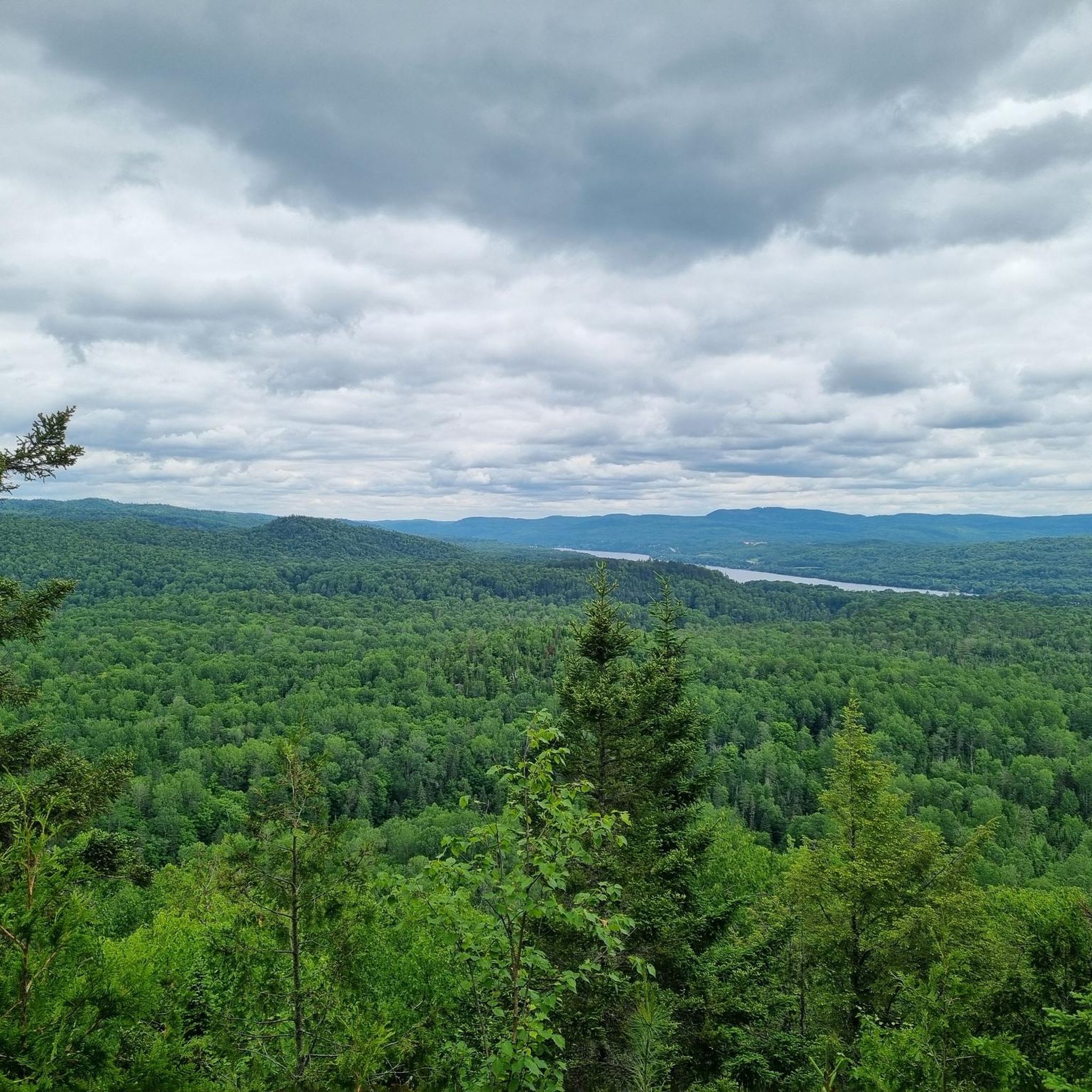
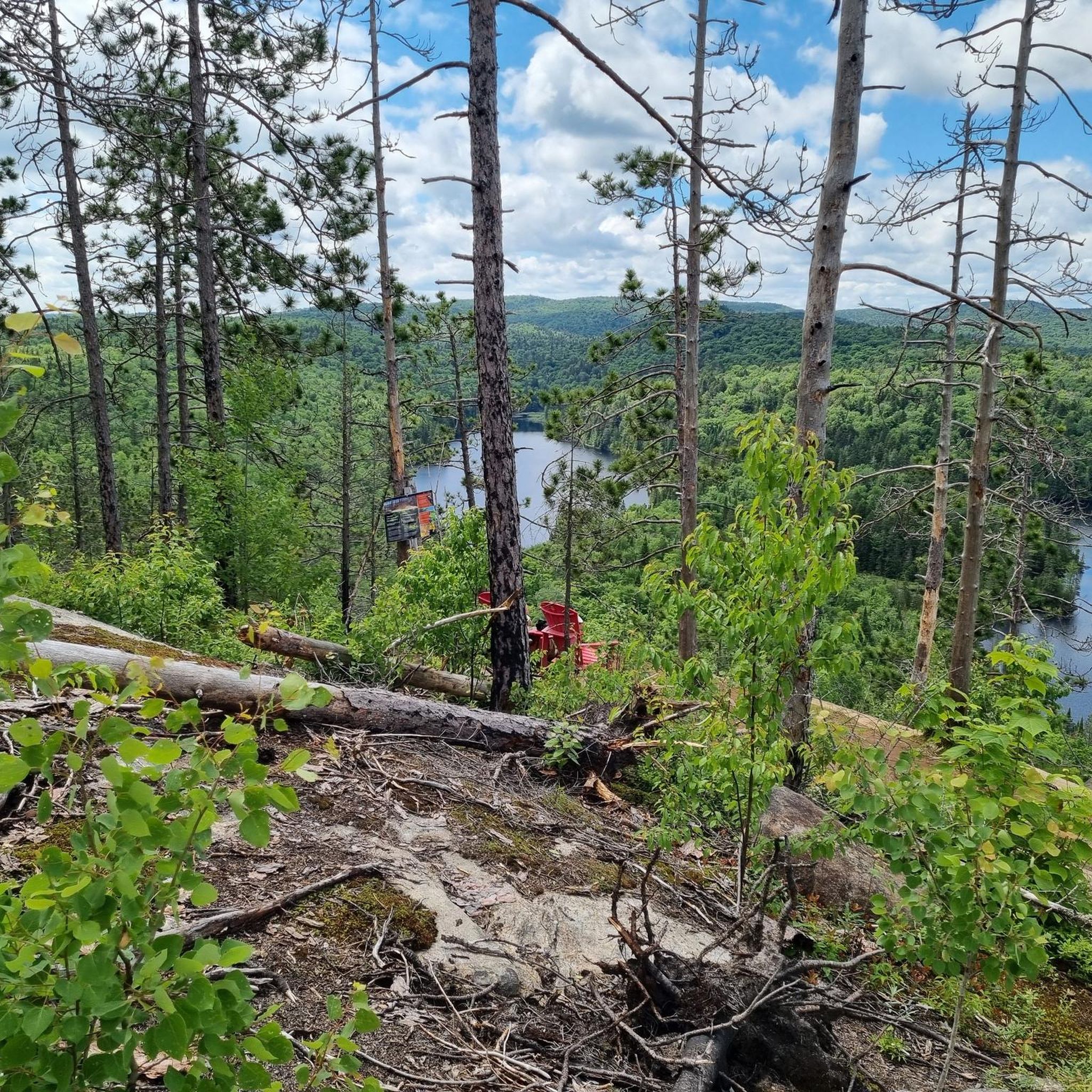
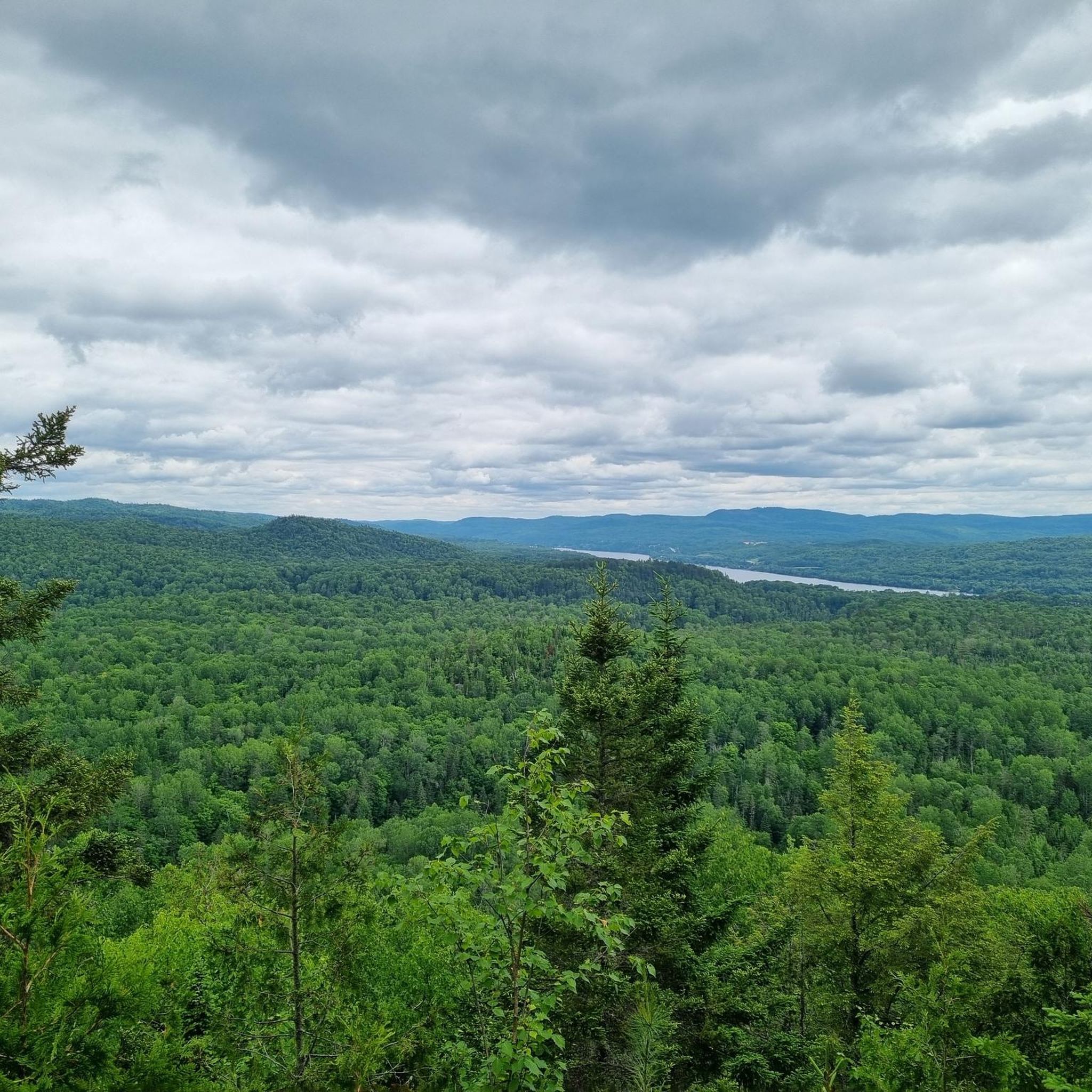
After a hard climb up to the lookout, you're rewarded with a breathtaking view over the lake and the surrounding area. (Photo credit: Flickr user mathieujoo)
0
0
Great views over Wapizagonke Lake. One of the few lookouts that's right by the road.
0
0
Frequently Asked Questions
What kind of road cycling routes can I expect in Saint-Roch-de-Mékinac?
The road cycling routes around Saint-Roch-de-Mékinac are primarily moderate to difficult, offering stimulating conditions with varying elevations. The landscape is shaped by the Saint-Maurice River and the Laurentian Shield, featuring forested terrain and prominent cliffs.
Are there any beginner-friendly road cycling routes in the area?
While the region's routes generally cater to cyclists with good physical condition, the network offers options that are more moderate in difficulty. For example, the La Mauricie National Park loop from Saint-Roch-de-Mékinac is a moderate 20.7 km route with less elevation gain compared to longer tours, making it a good option for those building experience.
What are some of the most scenic road cycling routes around Saint-Roch-de-Mékinac?
Many routes offer stunning views, particularly those along the Saint-Maurice River valley. The La Mauricie National Park – View from Le Passage Lookout loop from Saint-Roch-de-Mékinac provides panoramic views of the Saint-Maurice valley and passes through areas adjacent to the national park, showcasing the region's natural beauty.
What is the best time of year to go road cycling in Saint-Roch-de-Mékinac?
The summer months offer ideal conditions for road cycling. However, autumn is particularly spectacular, as the forests of the Laurentian Shield transform into a display of warm, vibrant colors, offering a magical spectacle for cyclists.
Are there any loop routes available for road cyclists?
Yes, many of the road cycling routes in Saint-Roch-de-Mékinac are designed as loops, allowing you to start and end at the same point. An example is the La Mauricie National Park loop from Grandes-Piles, which takes you through forested areas near the national park.
What makes road cycling in Saint-Roch-de-Mékinac unique compared to nearby regions?
The region's unique appeal lies in its dramatic geography, characterized by the majestic Saint-Maurice River, breathtaking cliffs, and its position directly opposite Mauricie National Park. This combination provides a diverse natural environment with varied terrain and stunning vistas not found everywhere.
What kind of distances can I expect on road cycling routes here?
Route distances vary, catering to different endurance levels. You can find shorter moderate loops, such as the View from Le Passage Lookout loop from Saint-Roch-de-Mékinac at 35.4 km, up to more challenging, longer routes like the View from Le Passage Lookout – Vide Bouteille Lookout loop from Grandes-Piles, which spans over 100 km.
What do other road cyclists enjoy most about the routes in Saint-Roch-de-Mékinac?
The area is highly rated by the komoot community, with an average score of 4.7 stars. Reviewers often praise the challenging yet rewarding terrain, the stunning views of the Saint-Maurice River valley, and the immersive experience of cycling through the forested landscapes adjacent to Mauricie National Park.
Are there any specific roads known for good road cycling in the area?
Key roads like Route 155 and Route 159 (linking Saint-Roch-de-Mékinac to Saint-Tite) are integral to the area's cycling network and offer scenic paths. These routes often feature the diverse terrain and elevation changes characteristic of the region.
Where can I find parking or start points for road cycling routes?
Many routes can be accessed from various points within or near Saint-Roch-de-Mékinac. The Municipal Camping and Marina Saint-Roch-de-Mékinac, located along the Saint-Maurice River, could serve as a convenient base. Additionally, routes often start from nearby towns like Grandes-Piles, offering alternative access points.
Are there any attractions or points of interest along the road cycling routes?
As you cycle, you'll encounter the natural beauty of the Saint-Maurice River and its dramatic cliffs. The routes also offer views towards Mauricie National Park. The Parc du Moulin, situated between the Saint-Maurice River and Route 155 north of the village, is another point of interest you might pass.
Most popular routes around Saint-Roch-de-Mékinac

Get inspired with the komoot mobile app


Explore more
Browse the best Road cycling routes in other regions.
