The best running trails around Rougemont
4.0
(2)
350
runners
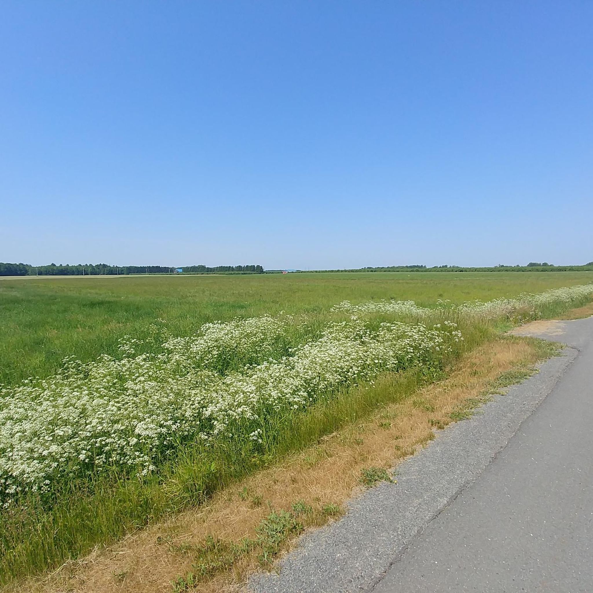
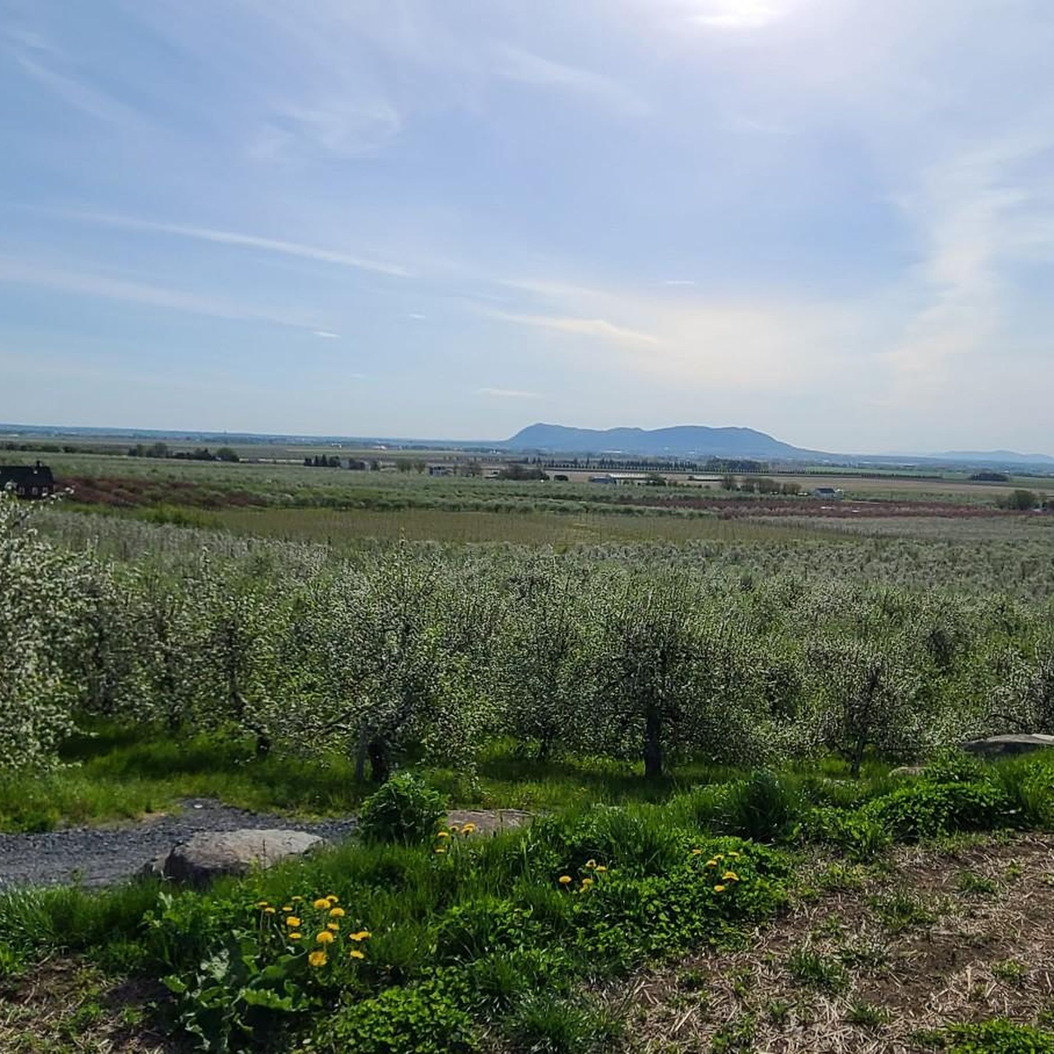
Jogging routes around Rougemont, Quebec, are primarily defined by the varied terrain of Mont Rougemont, a part of the Monteregian Hills. The landscape features sugar maple-dominated forests, offering scenic running paths with elevation changes. Lower slopes include apple orchards and vineyards, providing picturesque routes through cultivated areas. The region's natural features create an environment suitable for outdoor activities, including running and jogging.
Best jogging routes around Rougemont
- The most popular jogging route is Montagne du Brûlé – Falaise de Dieppe…
Last updated: July 26, 2026
40
runners
Moderate run. Good fitness required. Mostly paved surfaces. Suitable for all skill levels.
29
runners
5.14km
00:38
220m
220m
Moderate run. Good fitness required. Mostly paved surfaces. Suitable for all skill levels.

Sign up for free
5.0
(1)
24
runners
5.69km
00:39
160m
160m
Moderate run. Good fitness required. Mostly paved surfaces. Suitable for all skill levels.
9
runners
Hard run. Very good fitness required. Mostly paved surfaces. Suitable for all skill levels.
8
runners
Moderate run. Good fitness required. Mostly paved surfaces. Suitable for all skill levels.
Our route recommendations are based on thousands of hikes, rides, and runs completed by other people on komoot.
Start today with a free account
Your next adventure awaits.
Login or Signup
Popular around Rougemont

Tips from the Community

Owned by McGill University since 1958, Gault Nature Reserve protects about 1,000 hectares of old-growth forest and wetlands on the rugged slopes of Mont Saint-Hilaire. Over 25 kilometres of trails wind through this protected landscape, leading to panoramic lookouts over Lake Hertel, the Richelieu Valley, and the surrounding Monteregian Hills, making it one of southern Québec’s premier hiking destinations.
0
0

This lookout offers stunning panoramas in every direction and every season. The lush summer foliage gives way to stunning, colorful foliage in the fall.
1
0
It's well worth the trek to reach this popular summit and lookout point. When the lighting is just right, you can catch an outline of the Montreal skyline on the distant horizon.
0
0
This is one of the most popular lookouts in the entire nature reserve. In return for about 345 m of elevation gain, you get beautiful panoramic views in every direction.
0
0
Recreation in Hertel Lake is strictly prohibited. You can't even fish in it, thanks to its status as a carefully monitored component of McGill University's Gault Nature Reserve. With that said, it still makes a delightful backdrop for the nearby hiking trails.
0
0

Great loop with good winter trail conditions. Quite crowded, even in winter, and there’s an entrance fee. Full winter hike video: https://youtu.be/D8jXSjValvA
0
0
Great loop with good winter trail conditions. Quite crowded, even in winter, and there’s an entrance fee. Full winter hike video: https://youtu.be/D8jXSjValvA
0
0
Frequently Asked Questions
How many running routes are available in Rougemont?
Komoot currently features 5 dedicated jogging routes around Rougemont, Quebec. These routes offer a variety of experiences, primarily within the Mont Rougemont area and the Gault Nature Reserve.
What kind of terrain can I expect on the running trails around Rougemont?
Jogging routes in Rougemont, Quebec, are characterized by the varied terrain of Mont Rougemont, part of the Monteregian Hills. You'll find paths through sugar maple-dominated forests, offering scenic views and elevation changes. The lower slopes also feature picturesque apple orchards and vineyards, providing a mix of natural and cultivated landscapes.
Are there any easy or beginner-friendly jogging routes in Rougemont?
While many routes involve elevation changes, there are moderate options suitable for those looking for a less strenuous run. For example, the Réserve Naturelle Gault loop from Université McGill - Réserve naturelle Gault is a moderate 3.5-mile (5.7 km) trail that can be completed in about 38 minutes, offering a balanced experience through the natural reserve.
Are there any circular jogging routes in the area?
Yes, several routes in Rougemont are circular, allowing you to start and end at the same point. Examples include the challenging Montagne du Brûlé – Falaise de Dieppe loop from Université McGill - Réserve naturelle Gault, and the moderate Gault Nature Reserve loop from Université McGill - Réserve naturelle Gault.
What are some scenic points or natural attractions to look out for while jogging?
The primary natural attraction is Mont Rougemont itself, offering varied terrain and sugar maple forests, especially beautiful in autumn. The lower slopes are dotted with apple orchards and vineyards, providing charming agricultural scenery. Many routes traverse the Gault Nature Reserve, known for its natural beauty and diverse ecosystems.
What do other runners enjoy the most about jogging in Rougemont?
The running routes in Rougemont are highly rated by the komoot community, with an average score of 4.0 stars. Runners often praise the varied terrain, the beauty of the forested hills, and the natural reserves that define the area, providing a refreshing outdoor experience.
Is there parking available near the jogging trails?
Many of the routes, particularly those starting from Université McGill - Réserve naturelle Gault, are accessible by car. While specific parking details for each trailhead are best checked on the individual route pages, the presence of a university and nature reserve suggests designated parking areas are likely available for visitors.
Can I access the running routes by public transport?
Some routes, such as those originating from Université McGill - Réserve naturelle Gault, might be accessible via public transport connections to the university or nearby areas. It's advisable to check local public transport schedules and routes to the Gault Nature Reserve or specific starting points for the most up-to-date information.
Are the jogging routes in Rougemont suitable for families with children?
While some routes feature significant elevation gain and are rated 'difficult', there are moderate options that might be suitable for active families. For instance, the Burned Hill – Le Pain de Sucre loop from Otterburn Park is a moderate 4.1-mile (6.6 km) trail that could be an enjoyable family outing, depending on the children's fitness levels.
What is the best time of year to go jogging in Rougemont?
Rougemont, Quebec, offers beautiful scenery year-round. The sugar maple forests are particularly stunning in autumn with vibrant fall colors. Spring and summer provide lush greenery, while winter can offer unique snow-covered landscapes, though conditions may require appropriate gear and caution.
Are there any longer, more challenging running routes for experienced runners?
Yes, for experienced runners seeking a challenge, the Montagne du Brûlé – Falaise de Dieppe loop from Université McGill - Réserve naturelle Gault is a difficult 10.8-mile (17.4 km) trail. It features significant elevation gain through forested areas and typically takes over two hours to complete, providing a rigorous workout.
What is the elevation gain like on Rougemont's running trails?
Given that Rougemont is defined by Mont Rougemont, part of the Monteregian Hills, you can expect varied elevation gains. For example, the difficult Montagne du Brûlé – Falaise de Dieppe loop has an elevation gain of over 720 meters, while moderate routes like the Le Pain de Sucre loop feature around 285 meters of ascent.
Most popular attractions around Rougemont

Get inspired with the komoot mobile app


Explore more
Browse the best Running Trails & Routes in other regions.
