The best cycling routes around Creglingen
4.6
(404)
1,760
riders
71
rides
Touring cycling around Creglingen offers routes through the picturesque Tauber Valley, characterized by vineyards and rolling hills. The region's elevation ranges from 230 to 500 meters above sea level, encompassing five side valleys of the Tauber River. This diverse terrain provides varied cycling opportunities, from riverside paths to routes with moderate climbs. The landscape features natural scenery and well-developed cycling infrastructure.
Best touring cycling routes around Creglingen
- The most popular touring cycling route is Regional cycling — Adventure Tour 11:…
Last updated: September 24, 2026
4.5
(27)
108
riders
28.0km
01:58
300m
300m
Moderate bike ride. Good fitness required. Mostly paved surfaces. Suitable for all skill levels.
4.5
(104)
406
riders
38.4km
02:40
590m
580m
Hard bike ride. Very good fitness required. Mostly paved surfaces. Suitable for all skill levels.

4.4
(18)
117
riders
14.6km
00:55
150m
150m
Easy bike ride. Great for any fitness level. Mostly paved surfaces. Suitable for all skill levels.
4.8
(26)
79
riders
38.1km
02:22
410m
410m
Moderate bike ride. Good fitness required. Mostly paved surfaces. Suitable for all skill levels.
4.6
(68)
178
riders
42.1km
02:43
540m
540m
Hard bike ride. Very good fitness required. Mostly paved surfaces. Suitable for all skill levels.
Get access to more routes and recommendations from other explorers.
Already have an account?
Our route recommendations are based on thousands of hikes, rides, and runs completed by other people on komoot.
Start today with a free account
Your next adventure awaits.
Popular around Creglingen
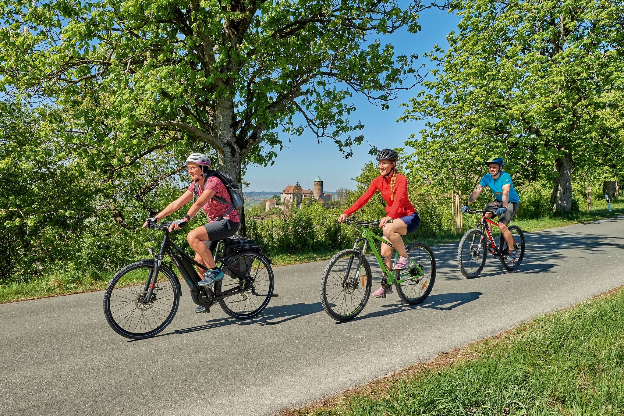
Magnificent cycling holidays — e-bike Tours through Franconia
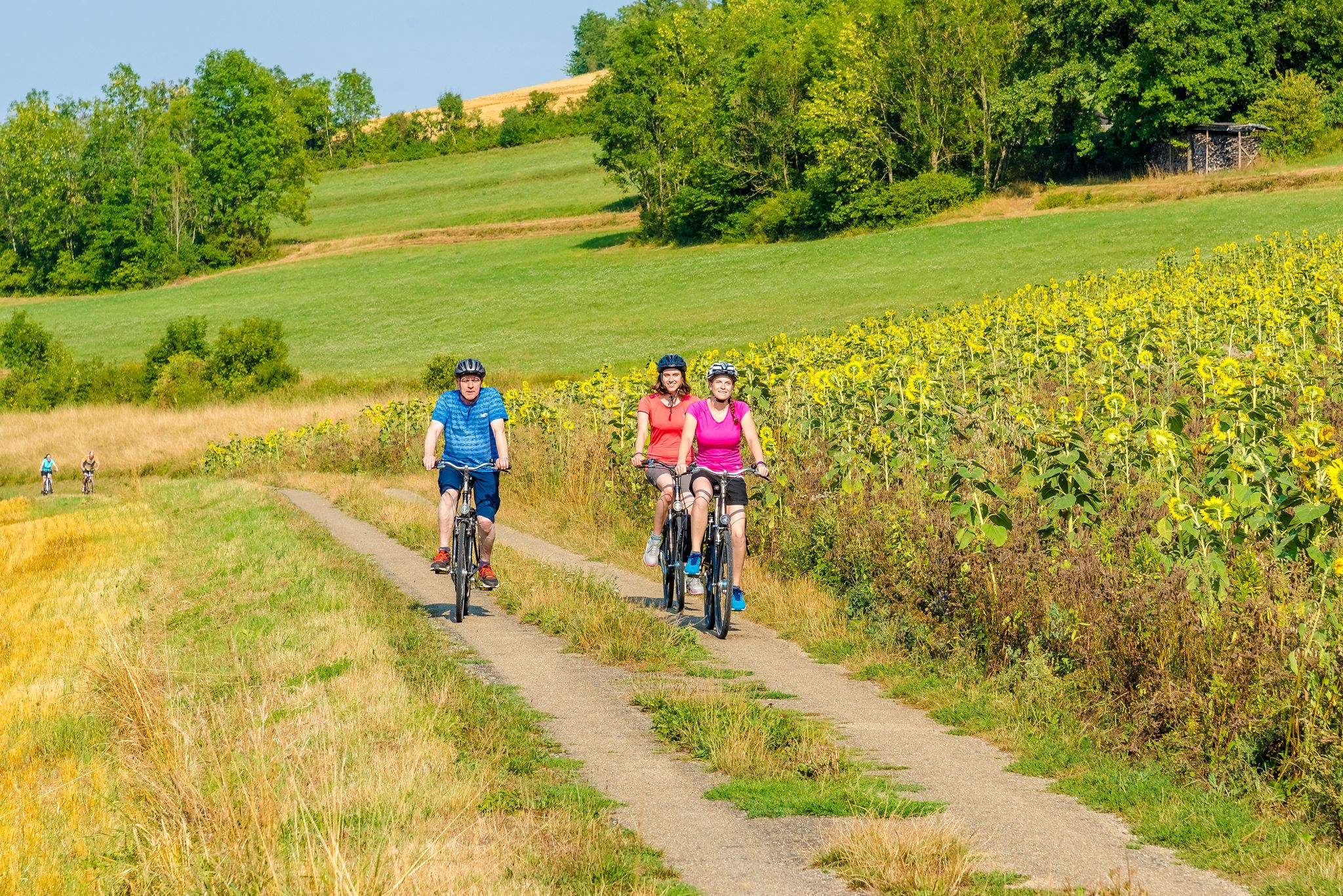
Cycling through the Tauber Valley – Germany’s prettiest countryside

Main-Danube-Lake Constance Trail – Along iconic waters

The Romantic Road – To the Pearls of Southern Germany
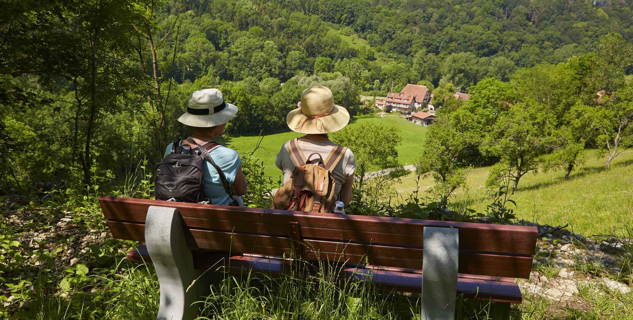
Gentle hills & wide forests – day Tours in the Lovely Tauber Valley
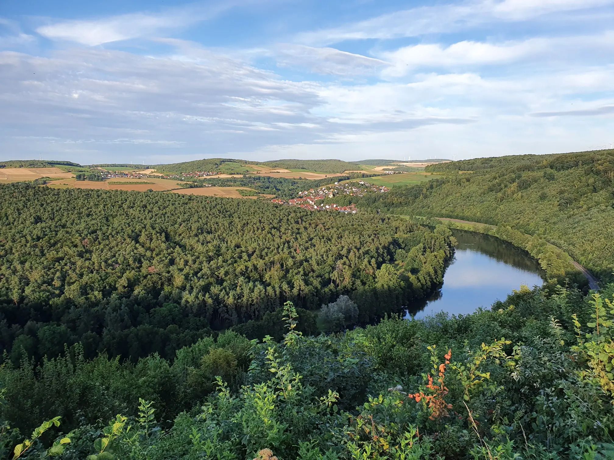
Jakobswanderweg Odenwald-Main-Taubertal
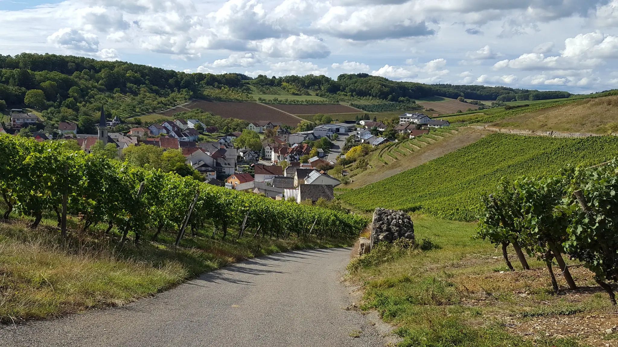
On the panoramic trail through the Tauber Valley
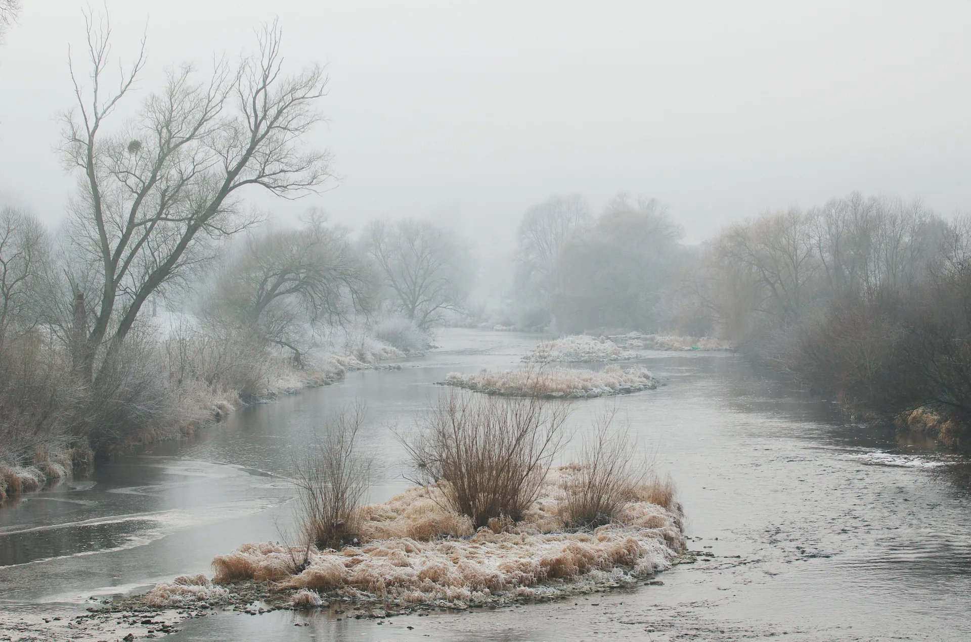
Achtsam durch den Winter – Stille erleben in Hohenlohe und Taubertal
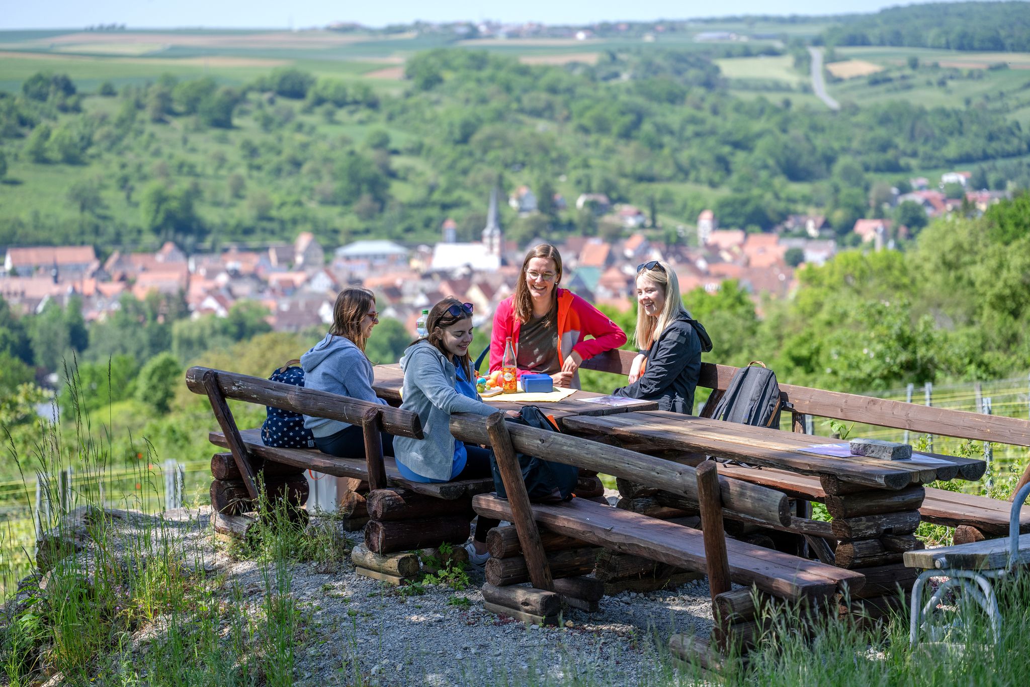
29 Rundwanderwege durch die Ferienlandschaft „Liebliches Taubertal“
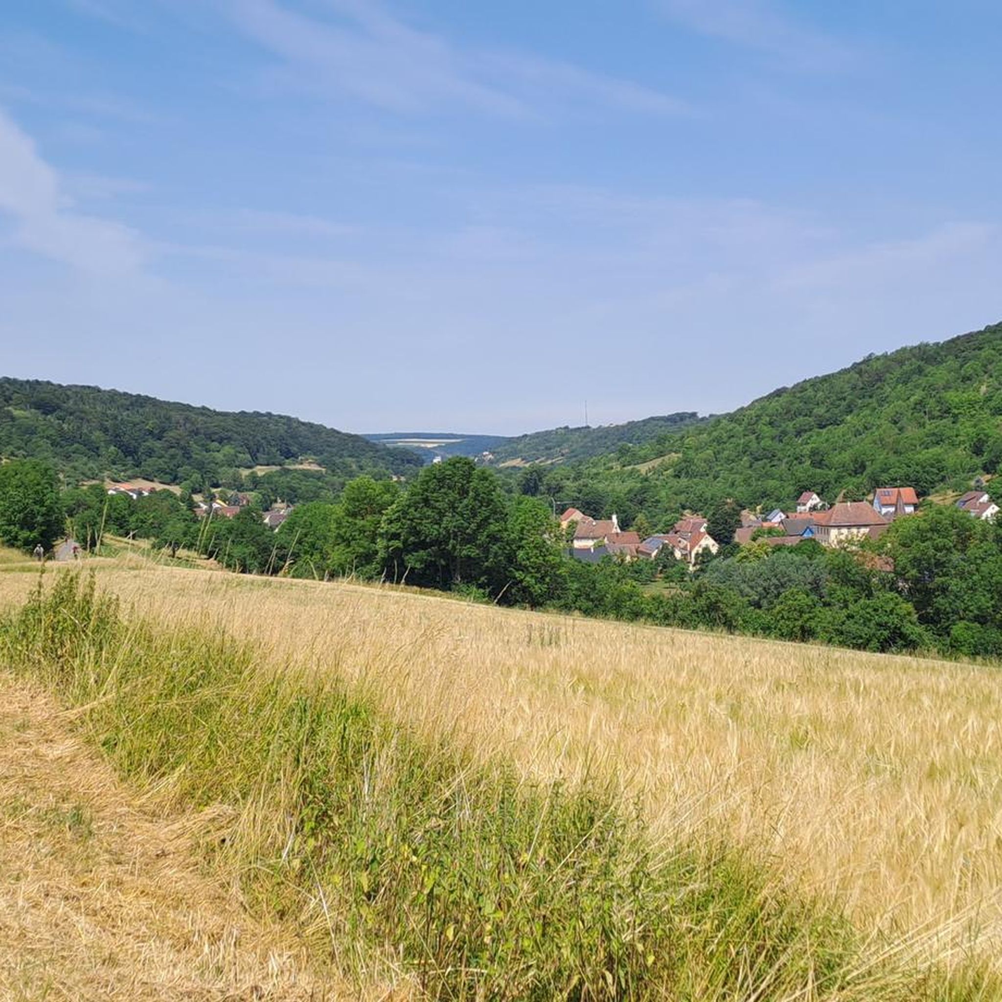
Hiking around Creglingen
Other adventures around Creglingen


Tips from the Community

A wonderful place to stroll, discover and enjoy, we liked the small butcher with various rolls to go and the bread culture the most.
0
0

Bench for a break with a view of the Tauber
0
0

There are many places from which you have a great view of Rothenburg ob der Tauber, but I find the view of the medieval town, with its unique silhouette and towers, most beautiful from the Tauber Valley or from Engelsburg Castle.
2
0

Former hunting lodge of the Prince-Bishops of Würzburg from the Renaissance period. It is located at the highest point in the city and today serves, among other things, as living quarters.
1
0

The imposing Aub Castle, a multi-winged complex, forms the northeastern corner of the town's fortifications. Due to the town's turbulent history, it has had various owners over time.
7
0

Very well-preserved castle with a large, open garden area next to it.
0
0

on asphalt is good driving through a Tauber-like landscape
1
0

The Tauber Valley is highly recommended for a bike tour. The cycle path is excellently developed, and you mostly cycle close to the water.
1
0
Frequently Asked Questions
How many touring cycling routes are available around Creglingen?
There are over 80 touring cycling routes around Creglingen, offering a wide range of options for different skill levels and preferences.
What kind of terrain can I expect on touring cycling routes around Creglingen?
The terrain around Creglingen is quite varied. You'll find mostly flat, well-paved paths along the meandering Tauber River, especially on sections of the Tauber Valley Cycle Path. However, the region also features rolling hills, vineyards, and five side valleys of the Tauber, with elevations ranging from 230 to 500 meters above sea level, providing moderate climbs and descents.
Are there any family-friendly touring cycling routes in Creglingen?
Yes, the Tauber Valley Cycle Path is particularly suitable for families due to its largely flat profile and well-maintained surfaces. Routes like the Taubertal Cycle Path – Tauber River loop from Creglingen offer scenic, manageable distances perfect for a family outing.
What are some notable natural features or viewpoints along the cycling routes?
The Tauber River itself is a significant natural feature, accompanying cyclists for much of the way. You'll also encounter gentle meadows, woodlands, and expansive views of the valley from elevated points. The region is characterized by picturesque valleys like the Steinbachtal Valley and the Gickelhäuser Valley, offering beautiful natural scenery.
Are there any circular touring cycling routes starting from Creglingen?
Yes, many routes around Creglingen are designed as loops. For example, the Regional cycling — Adventure Tour 11: ‘Tauber Valley and Gaubahn’ is a popular circular route exploring the Tauber Valley. Another option is the Taubertal Cycle Path – Tauber River loop from Creglingen, which offers a scenic ride through the valley.
What can I see along the touring cycling routes in terms of attractions or landmarks?
Beyond the natural beauty, you can explore historical sites and charming towns. The region is part of the famous Romantic Road, offering cultural stops. While cycling, you might pass through areas with castles, historic churches, and well-preserved medieval townscapes. The Tauber Valley itself is a highlight, and nearby towns like Weikersheim and Bad Mergentheim offer additional cultural attractions.
What do other touring cyclists enjoy most about cycling in Creglingen?
The komoot community highly rates the touring cycling experience in Creglingen, with an average score of 4.7 stars. Reviewers often praise the picturesque landscapes, the well-developed cycling infrastructure, and the variety of routes that cater to different abilities, from leisurely riverside rides to more challenging routes through the rolling hills.
What is the best time of year to go touring cycling in Creglingen?
The spring and autumn months are generally ideal for touring cycling in Creglingen. The weather is typically mild, and the landscapes are particularly beautiful with blooming flowers or vibrant fall foliage. Summer can also be pleasant, especially along the shaded river paths, but it can get warmer.
Are there any challenging touring cycling routes for experienced riders?
While many routes are moderate, the varied elevation around Creglingen, with climbs up to 500 meters, allows for more challenging rides. Routes that venture away from the immediate river valley and into the side valleys or towards the higher elevations will offer more significant ascents and descents for experienced touring cyclists.
Can I connect to longer-distance cycling routes from Creglingen?
Yes, Creglingen is well-connected to several long-distance routes. It's an integral part of the Tauber Valley Cycle Path, which spans 130 km, and also lies along the Romantic Road (D-Route 9), which offers connections to destinations like Rothenburg ob der Tauber, Würzburg, and even extends towards the Main River valley.
Are there options for parking near the cycling routes in Creglingen?
Creglingen and the surrounding towns are generally well-equipped with parking facilities, especially near popular starting points for cycling routes. You can often find designated parking areas in town centers or at trailheads, making it convenient to access the routes.
Most popular routes around Creglingen
Most popular attractions around Creglingen

Get inspired with the komoot mobile app


Explore more
Browse the best Cycling routes in other regions.
