The best walks and hikes around Lünersee
4.6
(6982)
40,441
hikers
14
hikes
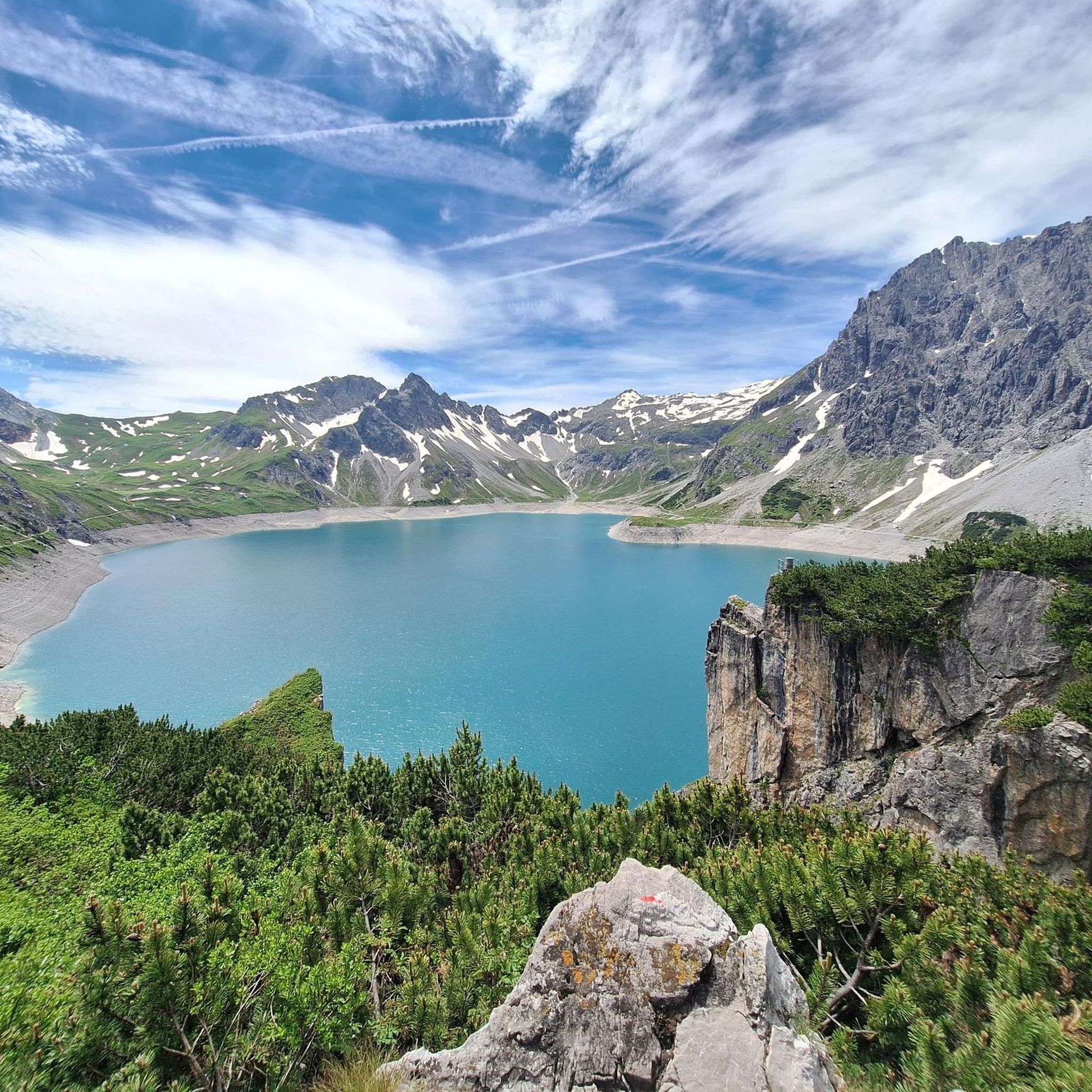
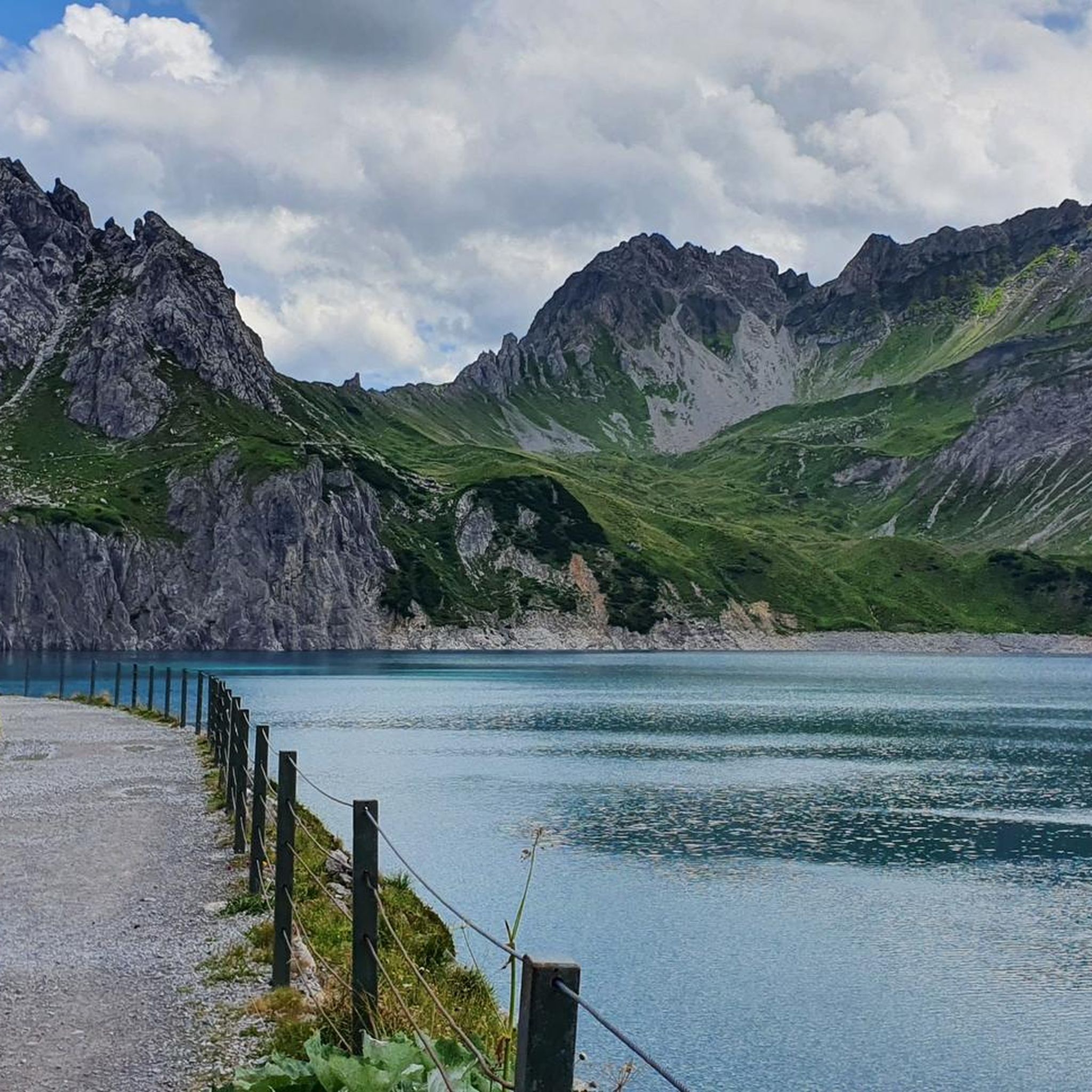
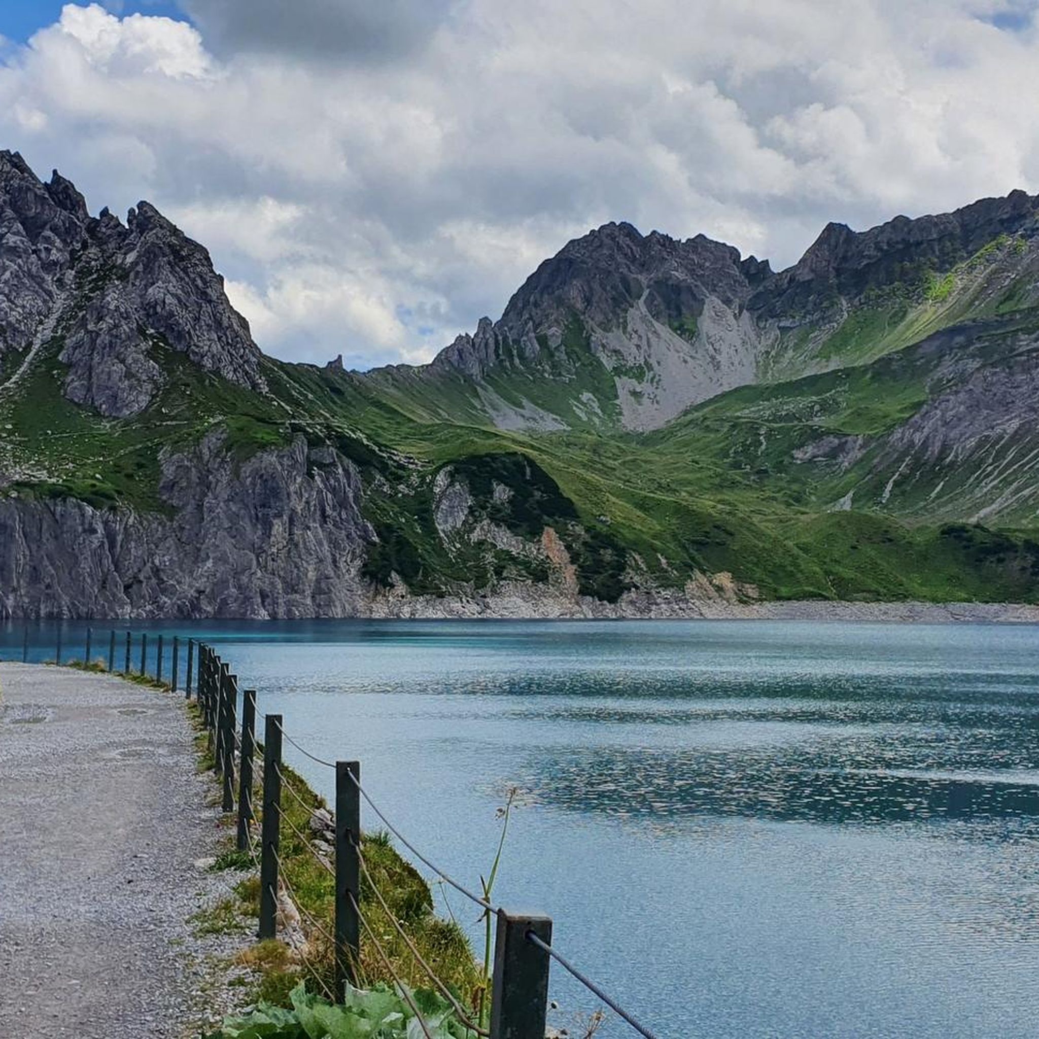
Hiking trails around Lünersee are characterized by alpine landscapes surrounding a prominent mountain lake. The region features significant elevation changes, with routes ascending into the surrounding peaks and offering panoramic views. The terrain includes rocky paths, alpine meadows, and sections near the lake shore. This area provides a range of hiking experiences, from lakeside walks to more challenging mountain ascents.
Best hiking trails around Lünersee
- The most popular hiking route is Lünersee loop, a 3.8 miles (6.1 km) trail…
Last updated: August 5, 2026
4.8
(926)
5,057
hikers
6.10km
01:51
140m
130m
Moderate hike. Great for any fitness level. Mostly accessible paths. Sure-footedness required.
4.9
(35)
129
hikers
15.4km
07:38
1,100m
1,100m
Hard hike. Very good fitness required. Sure-footedness, sturdy shoes and alpine experience required.

Sign up for free
4.8
(11)
52
hikers
12.0km
05:01
770m
770m
Hard hike. Very good fitness required. Mostly accessible paths. Sure-footedness required.
4.8
(125)
932
hikers
6.62km
02:55
410m
410m
Moderate hike. Good fitness required. Mostly accessible paths. Sure-footedness required.
4.9
(18)
100
hikers
16.6km
07:19
970m
980m
Hard hike. Very good fitness required. Sure-footedness, sturdy shoes and alpine experience required.
Get access to more routes and recommendations from other explorers.
Sign up for free
Already have an account?
Our route recommendations are based on thousands of hikes, rides, and runs completed by other people on komoot.
Start today with a free account
Your next adventure awaits.
Login or Signup
Popular around Lünersee
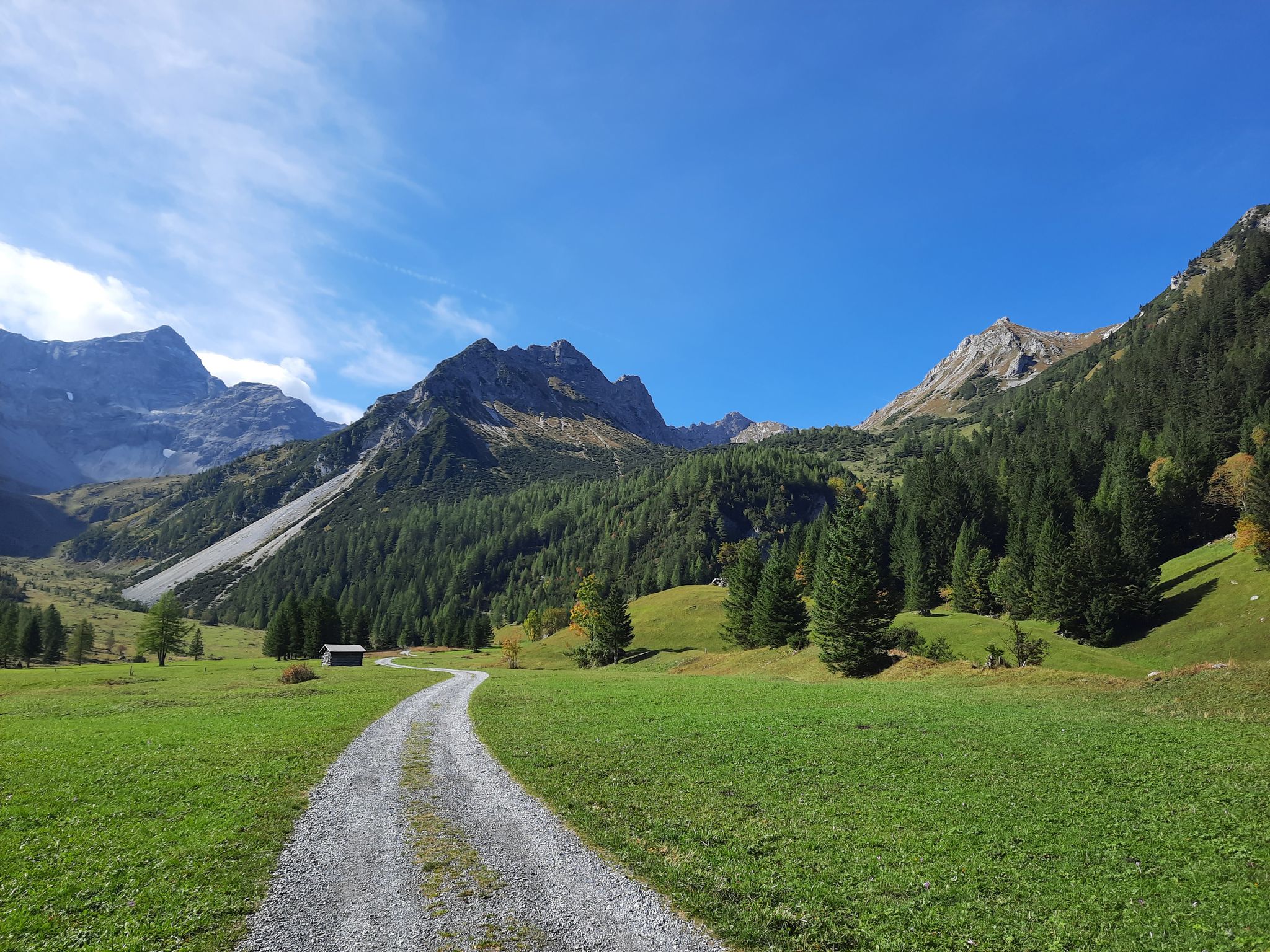
Autumn magic in Brandnertal – 6 hikes for the golden season
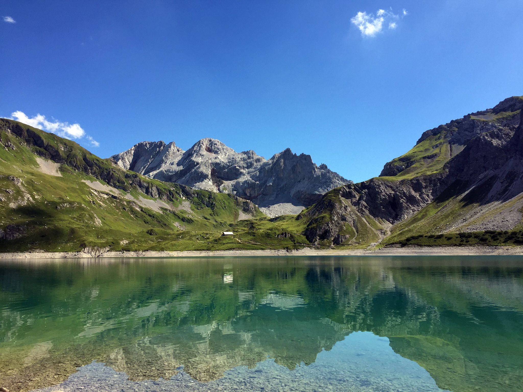
Mighty mountains and historic cities – hiking in Austria
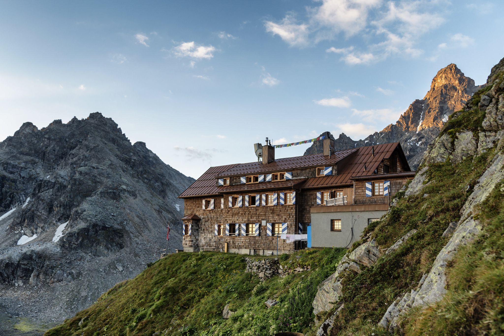
Alpenmosaik Montafon - The Montafoner Hüttenrunde
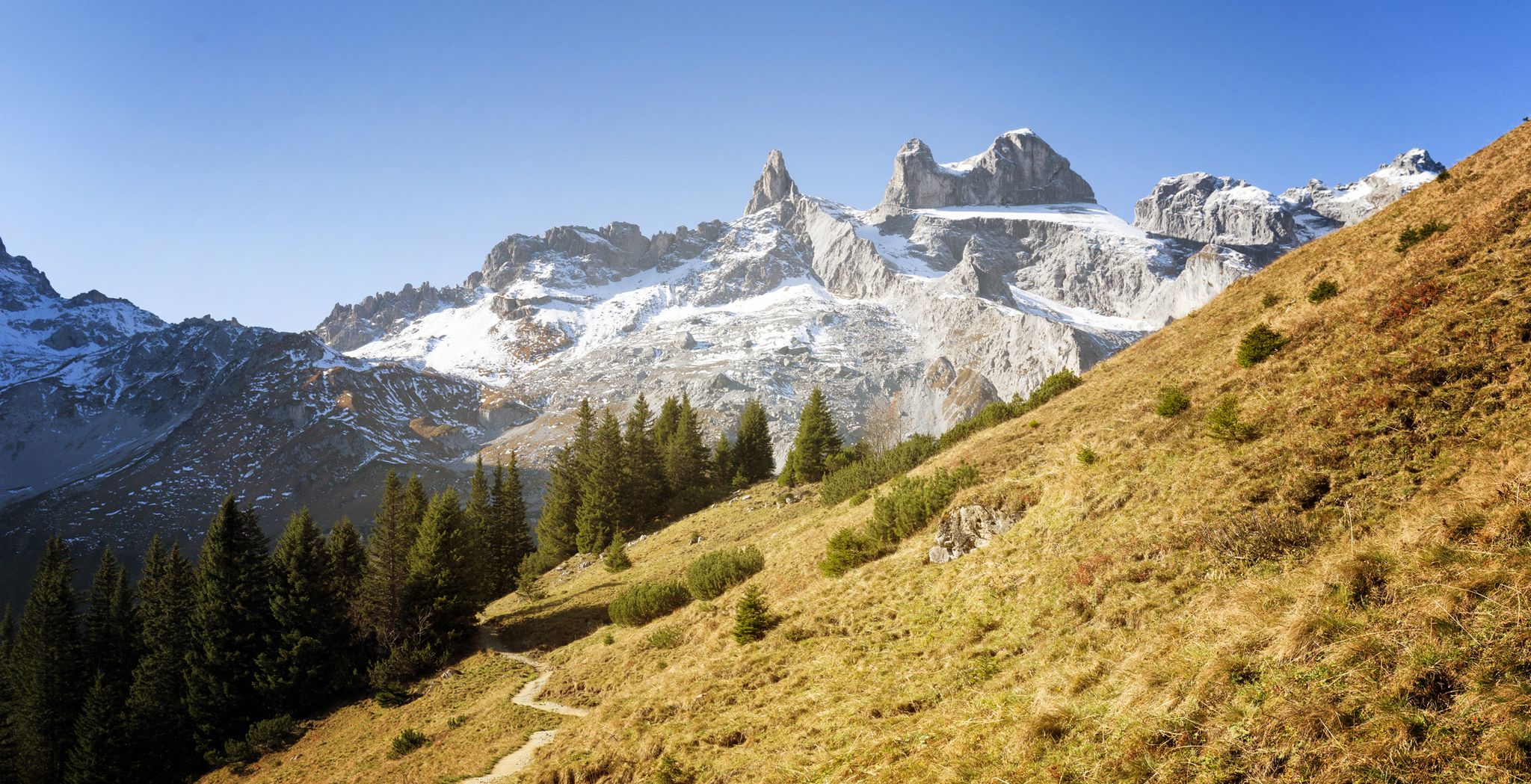
Alpine Mosaic Montafon — Austria’s Rätikon adventure area

An alpine adventure – from east to west through Austria
Running Trails around Lünersee
MTB Trails around Lünersee
Cycling around Lünersee
Mountain Hikes around Lünersee
Other adventures around Lünersee


Tips from the Community

Please only hike here with hiking boots. The path is alpine, made of stone and scree. You should have sure-footedness if you hike here.
0
0


Difficulty T3, sometimes with steep sections, but very doable.
0
0

Lünersee was once a natural mountain lake. By building a dam in 1959, the lake became a reservoir with a capacity of 78.3 million m3. When the lake is full, it is 139 m deep. The circular path around the lake is largely family-friendly and easy to walk.
8
0

Taking the train up and walking around the lake is not too strenuous and very beautiful.
0
0

In June, take the cable car up at 9:00 AM - Magical in sunshine
0
0

Always epic to see the lake, go around it or do mountain tours with a view of it
0
0
Frequently Asked Questions
Are there easy hiking options around Lünersee?
Yes, Lünersee offers some easier trails. While many routes involve significant elevation, there are options suitable for those seeking a less strenuous experience. For example, the Lünersee loop is a moderate 3.8-mile (6.1 km) path that provides continuous lake views without extreme ascents, making it a popular choice for a scenic walk.
How challenging are the hikes around Lünersee generally?
The hiking trails around Lünersee vary significantly in difficulty. Out of 14 available routes, 7 are classified as moderate and 6 as difficult, with only 1 easy option. This indicates that the region primarily caters to hikers looking for more challenging alpine experiences, often involving considerable elevation changes and rocky terrain.
Is there parking available for hikers at Lünersee?
Yes, parking is available at the base station of the Lünerseebahn cable car, which provides access to the lake and the surrounding hiking trails. It's advisable to arrive early, especially during peak season, as spaces can fill up quickly.
Can I reach the Lünersee hiking trails by public transport?
Yes, Lünersee is accessible by public transport. You can typically take a bus to the Lünerseebahn cable car station. From there, the cable car transports you directly to the lake, where many hiking trails begin. It's recommended to check local bus schedules and cable car operating times in advance.
Are there family-friendly hiking trails suitable for children around Lünersee?
For families, the area around Lünersee offers enjoyable walks, particularly the paths directly along the lake shore. While many trails involve alpine terrain, the Lünersee loop is a popular moderate option that can be adapted for families with older children or those used to hiking. Always consider the fitness level of all family members before embarking on a trail.
Are dogs allowed on the hiking trails around Lünersee?
Generally, dogs are welcome on the hiking trails around Lünersee, provided they are kept on a leash. This is important for the safety of your dog, other hikers, and local wildlife. Be sure to bring enough water for your pet, especially on longer routes, as natural water sources might be limited or unsuitable for drinking.
What is the best season for hiking around Lünersee?
The best season for hiking around Lünersee is typically from late spring (June) to early autumn (October). During these months, the snow has usually melted from the higher elevations, and the weather is generally stable and pleasant for hiking. Always check the current weather conditions and trail status before you go, as alpine weather can change rapidly.
What kind of gear should I bring for hiking in Lünersee?
Given the alpine nature of Lünersee, sturdy hiking boots with good ankle support are essential. Layered clothing is recommended to adapt to changing weather, along with rain gear, sun protection, sufficient water, and snacks. For more challenging routes, hiking poles can be beneficial, and a map or GPS device is always a good idea.
Are there any circular walks around Lünersee?
Yes, circular walks are a defining feature of the Lünersee area. The most well-known is the Lünersee loop, which circles the entire lake. Other circular options include the more challenging Lake Lüner – Cavelljoch (Gafalljoch) loop from Lünersee, which traverses alpine terrain and reaches a mountain pass.
What can I see along the hiking trails around Lünersee?
Beyond the stunning lake itself, hikers can discover various points of interest. You might encounter the Douglass Hut at Lake Lünersee, offering refreshments and a place to rest. Higher up, the Totalphütte provides another mountain refuge with impressive views. Informational boards, such as the Lünersee Information Boards, also offer insights into the local environment and history.
What do other hikers enjoy the most about hiking in Lünersee?
The Lünersee area is highly rated by the komoot community, with an average score of 4.5 stars from over 2,500 reviews. Hikers frequently praise the breathtaking alpine scenery, the vibrant turquoise color of the lake, and the well-maintained trails that offer a range of experiences from leisurely strolls to challenging mountain ascents. The panoramic views from higher elevations are often highlighted as a major draw.
Are there any huts or places to eat along the trails?
Yes, there are mountain huts that provide opportunities for rest and refreshments. The Douglass Hut at Lake Lünersee is conveniently located near the lake, and the Totalphütte is situated at a higher elevation, offering a welcome stop on more strenuous routes. These huts typically serve traditional alpine fare and drinks.
Most popular routes around Lünersee
Most popular attractions around Lünersee

Get inspired with the komoot mobile app


Explore more
Browse the best Hikes in other regions.
