The best cycling routes around Notre-Dame-du-Mont-Carmel
4.5
(63)
373
riders
23
rides
Touring cycling routes around Notre-Dame-du-Mont-Carmel are characterized by varied terrain, influenced by the Saint-Maurice River and its surrounding landscapes. The region features extensive forested areas near the river, agricultural zones to the north, and notable marshlands, including those between Lake Trotochaud and Rocheleau Cove. Elevations range from 9 to 219 meters, providing diverse cycling experiences with gradual ascents and descents. The Rivière Cachée, a 17.6-kilometer tributary, also contributes to the natural features of the area.
Best touring cycling routes around…
Last updated: July 31, 2026
4.7
(11)
75
riders
Easy bike ride. Great for any fitness level. Mostly paved surfaces. Suitable for all skill levels.
3.7
(7)
19
riders
29.0km
01:43
190m
190m
Moderate bike ride. Good fitness required. Mostly paved surfaces. Suitable for all skill levels.

Sign up for free
4.0
(4)
17
riders
Moderate bike ride. Good fitness required. Mostly paved surfaces. Suitable for all skill levels.
5.0
(1)
14
riders
45.2km
02:40
240m
240m
Moderate bike ride. Good fitness required. Mostly paved surfaces. Suitable for all skill levels.
4.6
(5)
10
riders
11.0km
00:37
10m
10m
Easy bike ride. Great for any fitness level. Mostly paved surfaces. Suitable for all skill levels.
Get access to more routes and recommendations from other explorers.
Sign up for free
Already have an account?
Our route recommendations are based on thousands of hikes, rides, and runs completed by other people on komoot.
Start today with a free account
Your next adventure awaits.
Login or Signup
Popular around Notre-Dame-du-Mont-Carmel
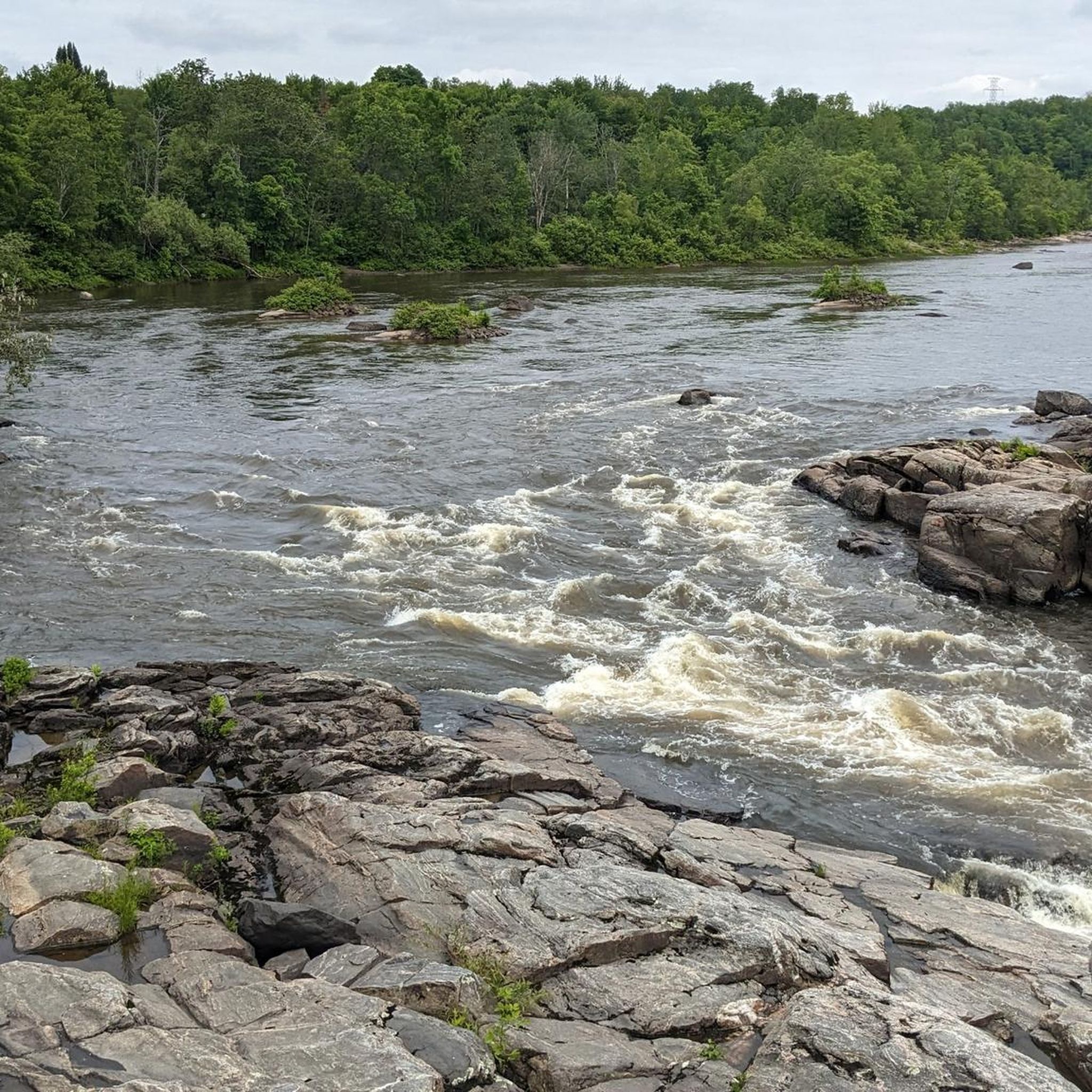
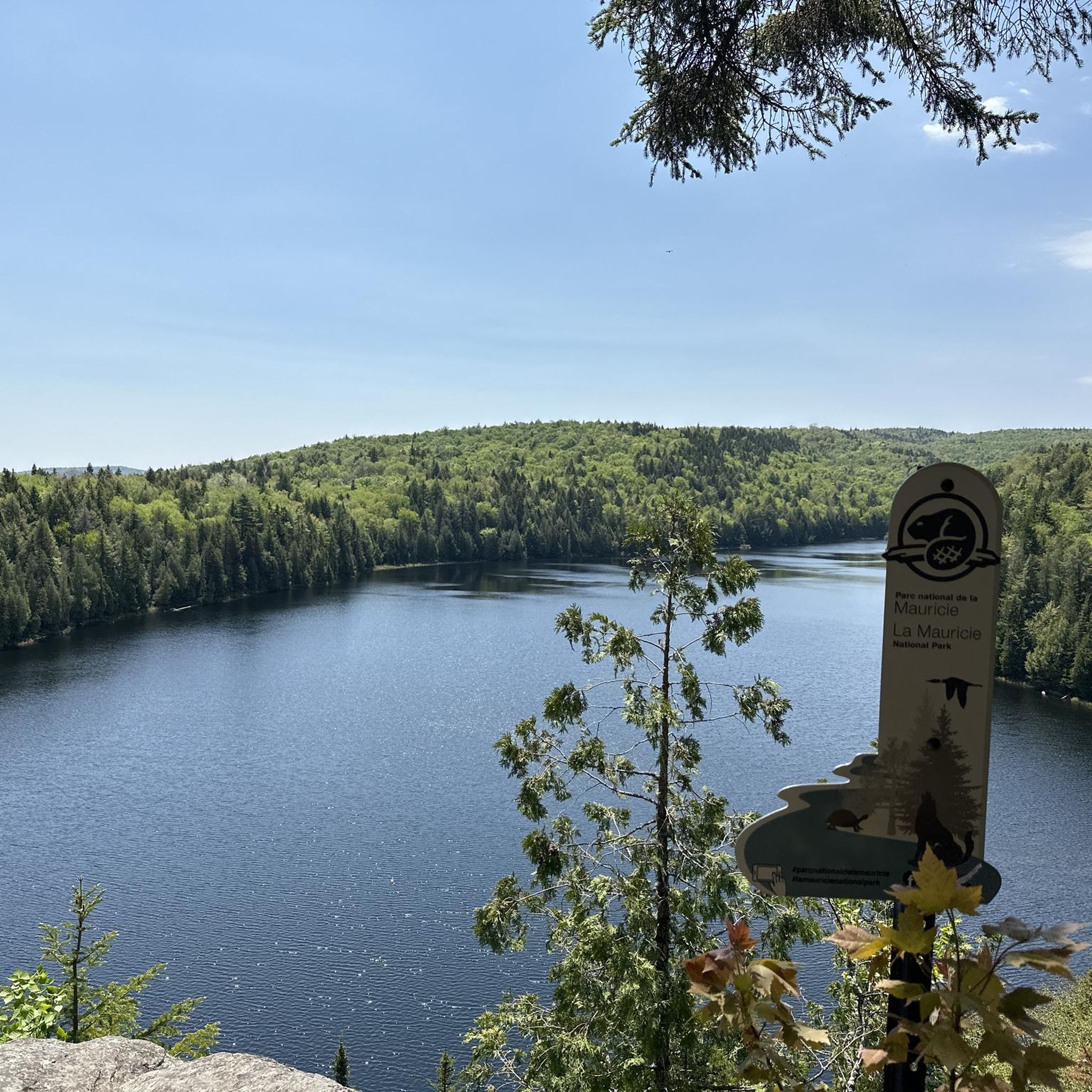
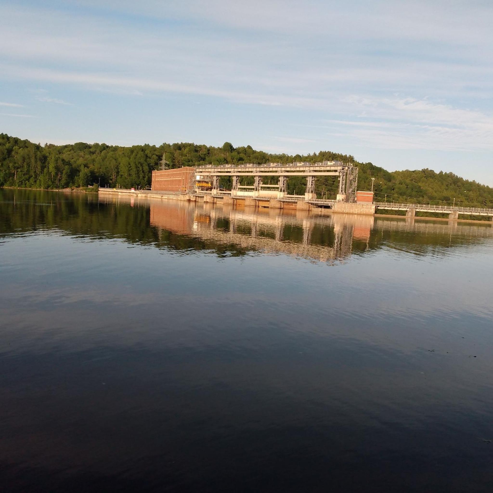
Tips from the Community

To do this outing
0
0

Beautiful view of the St-Maurice River, there is parking for your car and the sidewalk is well cleared of snow.
0
0


Very nice stopover for a picnic and even to tease the fish there. Accessible toilets.
0
0

If you are bunker, best place for a good coke.
0
0
Frequently Asked Questions
What kind of terrain can I expect on touring cycling routes around Notre-Dame-du-Mont-Carmel?
The region offers varied terrain, influenced by the Saint-Maurice River. You'll find extensive forested areas near the river, agricultural zones to the north, and notable marshlands. Elevations range from 9 to 219 meters, providing diverse cycling experiences with gradual ascents and descents. Many routes feature mostly paved surfaces.
How many touring cycling routes are available in Notre-Dame-du-Mont-Carmel?
There are over 25 touring cycling routes available around Notre-Dame-du-Mont-Carmel, catering to various skill levels. This includes 10 easy routes, 13 moderate routes, and 2 difficult routes.
Are there any easy touring cycling routes suitable for beginners?
Yes, there are several easy routes. One option is the Bicycle Dismount Point loop from boulevard Industriel/boulevard Saint-Michel, which is 26.2 km long with an elevation gain of about 99 meters.
What are some natural features or landmarks I might see while cycling?
Cyclists can enjoy views of the Saint-Maurice River, particularly along routes like the La Gabelle Dam – Shawinigan River Falls loop from Shawinigan. The region also features forested sections, agricultural plains, and marshlands, including those near Lake Trotochaud and Rocheleau Cove. The Rivière Cachée, a 17.6-kilometer tributary, is another notable natural highlight.
What do other touring cyclists enjoy most about the routes in Notre-Dame-du-Mont-Carmel?
The routes in Notre-Dame-du-Mont-Carmel are highly rated by the komoot community, with an average score of 4.5 stars from over 70 reviews. Cyclists often praise the varied terrain, the scenic views along the Saint-Maurice River, and the options available for different ability levels.
Are there any routes that feature waterfalls?
Yes, the Shawinigan River Falls loop from Shawinigan is a moderate 28.9 km route that passes by the impressive Shawinigan River Falls.
What is the best time of year for touring cycling in Notre-Dame-du-Mont-Carmel?
Summer is generally popular for recreational tourism and cycling. The region's varied terrain and natural features are best enjoyed during warmer months. While winter offers activities like cross-country skiing and snowmobiling, dedicated touring cycling is typically a seasonal activity.
Are there any challenging routes for experienced touring cyclists?
Yes, for experienced cyclists, there are routes that extend over 70 kilometers with significant elevation gains. For example, the La Gabelle Dam – Street Art on Hart Street loop from Rue Valentine-Pintal is 70.9 km long with over 330 meters of elevation gain, offering a moderate challenge. The region also features a demanding 125.2 km road cycling route with a total ascent of 923 meters and a maximum grade of 14.4%.
Can I find circular touring cycling routes in the area?
Yes, many of the touring cycling routes around Notre-Dame-du-Mont-Carmel are designed as loops. Examples include the Bicycle Dismount Point loop from boulevard Industriel/boulevard Saint-Michel and the La Gabelle Dam – Shawinigan River Falls loop from Shawinigan.
What other outdoor activities are available in Notre-Dame-du-Mont-Carmel besides cycling?
Beyond cycling, the municipality offers various recreational programs, including outdoor games and walking trails. In winter, you can find an alpine ski center on Mont Carmel, cross-country skiing, snowmobiling, and icy trails within the 'Domaine de la forêt perdue'.
Is there a cultural or historical site worth visiting in Notre-Dame-du-Mont-Carmel?
Yes, the Sanctuaire Notre-Dame-du-Mont-Carmel is a beautiful church known for its architecture and stained glass, offering a peaceful and reflective stop for visitors.
What is the typical elevation gain on touring cycling routes here?
Elevation gains vary significantly depending on the route's length and difficulty. Easy routes might have around 100-125 meters of elevation gain, while moderate routes can feature over 330 meters. More challenging routes can have ascents exceeding 900 meters.
Most popular routes around Notre-Dame-du-Mont-Carmel
Most popular attractions around Notre-Dame-du-Mont-Carmel

Get inspired with the komoot mobile app


Explore more
Browse the best Cycling routes in other regions.
