The best road cycling routes around Cambridge
4.0
(13)
216
riders
27
rides
Road cycling around Cambridge is characterized by its predominantly flat terrain, making it accessible for various skill levels. The region features extensive cycling infrastructure, including dedicated paths along the River Cam and the Guided Busway. While much of the landscape consists of the low-lying Cambridgeshire Fens, areas like the Gog Magog Hills to the south introduce gentle climbs and rolling roads. This blend of flat expanses and subtle elevation changes offers diverse road cycling experiences.
Best road cycling routes around…
Last updated: November 4, 2026
14
riders
13.8km
00:36
60m
60m
Easy road ride. Mostly well-paved surfaces and easy to ride.
6
riders
37km
01:31
180m
180m
Easy road ride. Mostly well-paved surfaces and easy to ride.

8
riders
Moderate road ride. Good fitness required. Some segments of this route may be unpaved and difficult to ride.
3.0
(1)
13
riders
45.2km
01:59
240m
240m
Moderate road ride. Some segments of this route may be unpaved and difficult to ride.
5.0
(1)
7
riders
96.5km
04:07
490m
490m
Moderate road ride. Good fitness required. Mostly well-paved surfaces and easy to ride.
Get access to more routes and recommendations from other explorers.
Already have an account?
Our route recommendations are based on thousands of hikes, rides, and runs completed by other people on komoot.
Start today with a free account
Your next adventure awaits.

Tips from the Community

Aboyne County Forest is a protected pocket of mature forest that is managed under Wellington County’s green infrastructure. This dense forest is made up of a mix of deciduous trees that come alive with brilliant shades of amber and crimson every fall. The south side of Aboyne County Forest is pressed up against the Grand River, giving great views of the water below. The woods here are important to wildlife as well as an escape for hiking, trail running, and snowshoeing during winter.
0
0

Elora Gorge is a popular destination partly due to the natural beauty of the 22-meter (72-ft) high limestone cliffs that rises above the Grand River and partly due to the activities and amenities available. There is a network of scenic trails, many fishing spots and camping pitches too. You can get on the river and go tubing or kayaking through the rapids too.
0
0

This trailhead sits at the end of Forbes Street, and has a large parking area, public washroom, and a couple of nice benches with easy access to both the Cambridge to Paris Rail Trail and the Grand River canoe launch. Situated along the banks of the river, it’s a great spot for a lovely picnic and a convenient starting point for exploring one of the trail’s most scenic stretches.
0
0
Canadian General-Tower Trailhead is the northern terminus of the Cambridge to Paris Rail Trail, with a large parking area and direct access to the crushed-gravel route. From here, the trail follows the Grand River through beautiful, peaceful woodland, leaving the city behind. There are no facilities here, so plan accordingly before heading out to explore.
0
0
Drynan Regional Forest's parking area is a small dirt parking lot that can fit about 10 cars. If the lot fills up, additional parking is typically permitted along the side of the Dumfries Road. It's free to enter Drynan Regional Forest, and there are trash cans at this trailhead, but no restrooms.
0
0
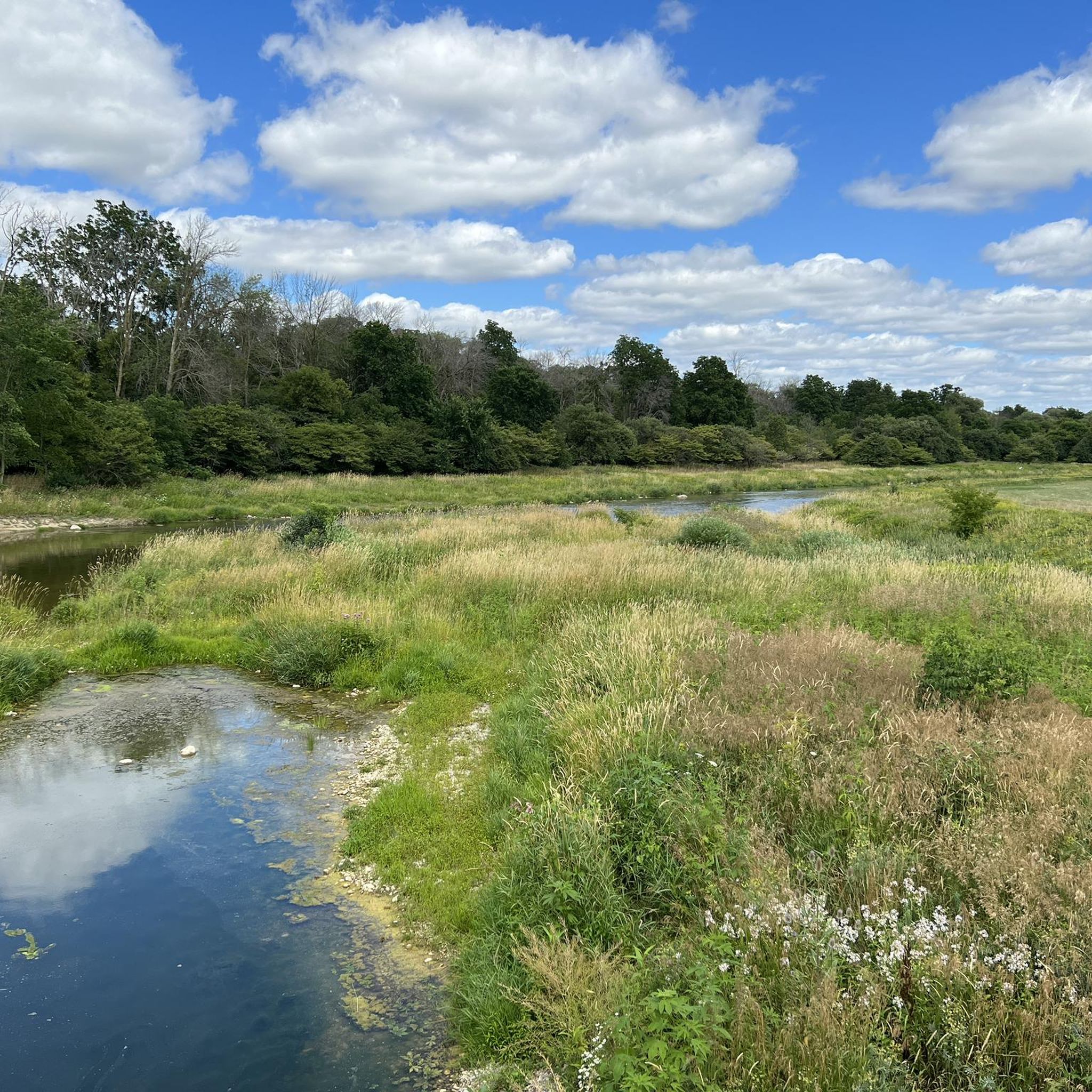
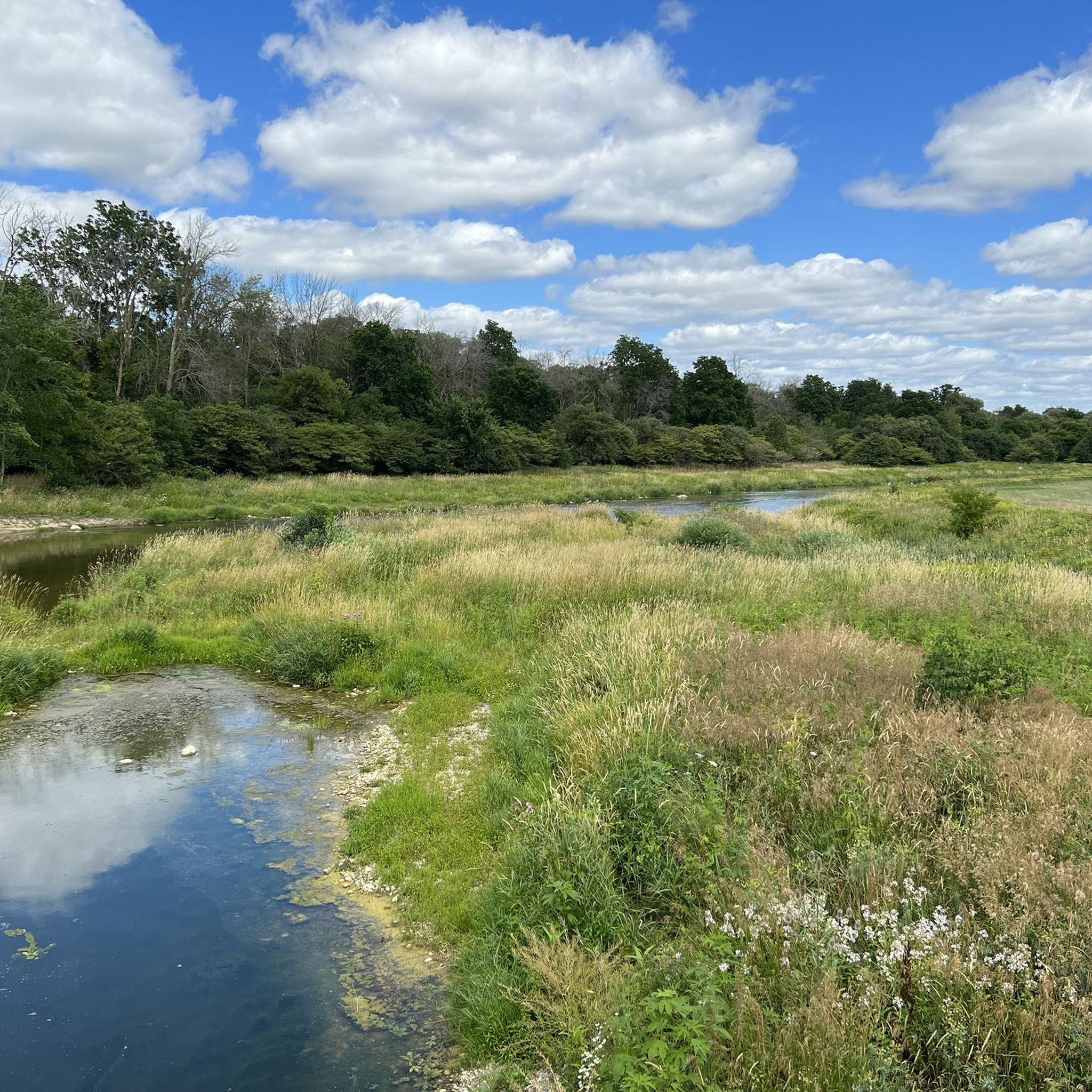
Enjoy great views of the Grand River on its 280-kilometer journey from this segment of the Bridgeport Trail. Sometimes, after heavy rain, the Grand River is subject to flooding and can cover shorefront trails, so be aware if you plan to hike and check for high-water alerts.
0
0
Just a few meters past where the Grand Trunk Trail meets the Walter Bean Grand River Trail is a concrete viewing platform with a metal guard. There are fantastic views over the Grand River and interpretive signage about the railway, the bridge, and the rivers' history. It's a scenic and educational stop.
0
0

Moffat's Creek is a small tributary of the Grand River that flows through south Cambridge. Much of its final run is paralleled by the Moffat's Creek Trail, so you enjoy a peaceful creekside excursion as it makes its way to its confluence with the river.
0
0
Frequently Asked Questions
What kind of terrain can I expect on road cycling routes around Cambridge?
Road cycling around Cambridge is predominantly characterized by its flat terrain, especially in the Cambridgeshire Fens, offering expansive 'big skies' and often quiet roads. However, areas like the Gog Magog Hills to the south introduce gentle to short, punchy climbs, providing varied experiences and rewarding views. Towards the east, you might encounter more rolling roads, gentle climbs, descents, and technical turns.
How many road cycling routes are available in the Cambridge area?
There are nearly 30 road cycling routes available around Cambridge, catering to various skill levels. This includes 16 easy routes and 13 moderate routes, ensuring options for both leisurely rides and more challenging excursions.
Are there any easy or beginner-friendly road cycling routes in Cambridge?
Yes, Cambridge offers many easy routes perfect for beginners or those seeking a relaxed ride. A popular choice is the City Cafe Bakery – Waterloo Park loop from Mill, an easy 14.8 km trail. Another great option is the Elmira Park loop from Hespeler, which is 37.2 km and also considered easy.
What are some longer road cycling routes near Cambridge?
For those looking for longer rides, Cambridge has several moderate routes. The Grand River – Devil’s Creek Trail loop from Glenview Park Secondary School is a 72.0 km route that takes about 3 hours. Another substantial option is the West Montrose Covered Bridge – West Montrose Covered Bridge loop from Borden, spanning nearly 95 km.
What notable landmarks or natural features can I see along road cycling routes in Cambridge?
Road cycling routes in Cambridge often pass by a blend of natural beauty and historical charm. You can explore the tranquil Speed River, or cycle along the Grand River Trail and Walter Bean Grand River Trail. Other points of interest include Homer Watson Park and Little Tract, offering scenic views and a chance to immerse yourself in the local landscape.
Are there any dedicated cycle paths or traffic-free routes in Cambridge?
Yes, Cambridge boasts extensive cycling infrastructure. A standout feature is the smoothly-surfaced, traffic-free cycle route along the Guided Busway, which stretches for 14 miles from Cambridge to St Ives. Many routes also utilize quiet country lanes and dedicated paths along the River Cam.
What do other road cyclists enjoy most about road cycling in Cambridge?
The road cycling routes in Cambridge are highly rated by the komoot community, with an average score of 3.9 stars from over 10 reviews. Cyclists often praise the region's flat and accessible terrain, the extensive network of cycle paths, and the picturesque landscapes that blend natural beauty with historic villages and attractions.
When is the best time of year for road cycling in Cambridge?
Cambridge is often referred to as 'Britain's everyday-cycling capital' due to its flat topography and generally dry weather. While cycling is enjoyable year-round, the spring and summer months offer the most pleasant conditions for exploring the region's diverse routes and attractions.
Can I find cafes or places to stop along the road cycling routes?
Many road cycling routes in Cambridge are designed to pass through charming villages and by notable attractions, often incorporating delightful stops. You'll find various cafes in historic villages, providing opportunities for refreshments and breaks during your ride.
Are there any circular road cycling routes in Cambridge?
Yes, many of the road cycling routes around Cambridge are circular, allowing you to start and end your ride in the same location. Examples include the Flower Garden with Fountain – Kraft Drive Mansions loop from Borden, an easy 43.4 km route, and the longer West Montrose Covered Bridge – West Montrose Covered Bridge loop from Borden, a moderate 94.9 km option.
What makes Cambridge a unique destination for road cycling?
Cambridge stands out for its unique combination of predominantly flat terrain, extensive cycling infrastructure, and a deeply ingrained cycling culture. The region offers a diverse range of experiences, from the expansive 'big skies' of the Fens to gentle climbs in the Gog Magog Hills, all while passing through picturesque villages and historic sites.
Most popular attractions around Cambridge

Get inspired with the komoot mobile app


Explore more
Browse the best Road cycling routes in other regions.
