The best walks and hikes around Clarence-Rockland
4.5
(4)
100
hikers
7
hikes
Hiking around Clarence-Rockland offers diverse outdoor experiences along the Ottawa River in Eastern Ontario. The region is characterized by its natural parks, including the nearby Plaisance National Park, and numerous local green spaces. Trails often traverse forested areas and provide views of the river, with generally modest elevation changes. This landscape provides a blend of accessible paths and more extended routes for various hiking preferences.
Best hiking trails around Clarence-Rockland
- The most popular hiking route is Sentier La Serpentine –…
Last updated: November 7, 2026
9
hikers
9.31km
02:22
30m
30m
Moderate hike. Good fitness required. Easily walkable paths.
3
hikers
15.5km
03:57
50m
50m
Moderate hike. Good fitness required. Easily walkable paths.

6
hikers
7.05km
01:51
60m
60m
Easy hike. Easily walkable paths.
4.0
(3)
47
hikers
6.21km
01:35
20m
20m
Easy hike. Easily walkable paths.
11
hikers
16.7km
04:15
50m
50m
Moderate hike. Good fitness required. Easily walkable paths.
Get access to more routes and recommendations from other explorers.
Already have an account?
Our route recommendations are based on thousands of hikes, rides, and runs completed by other people on komoot.
Start today with a free account
Your next adventure awaits.
Tips from the Community

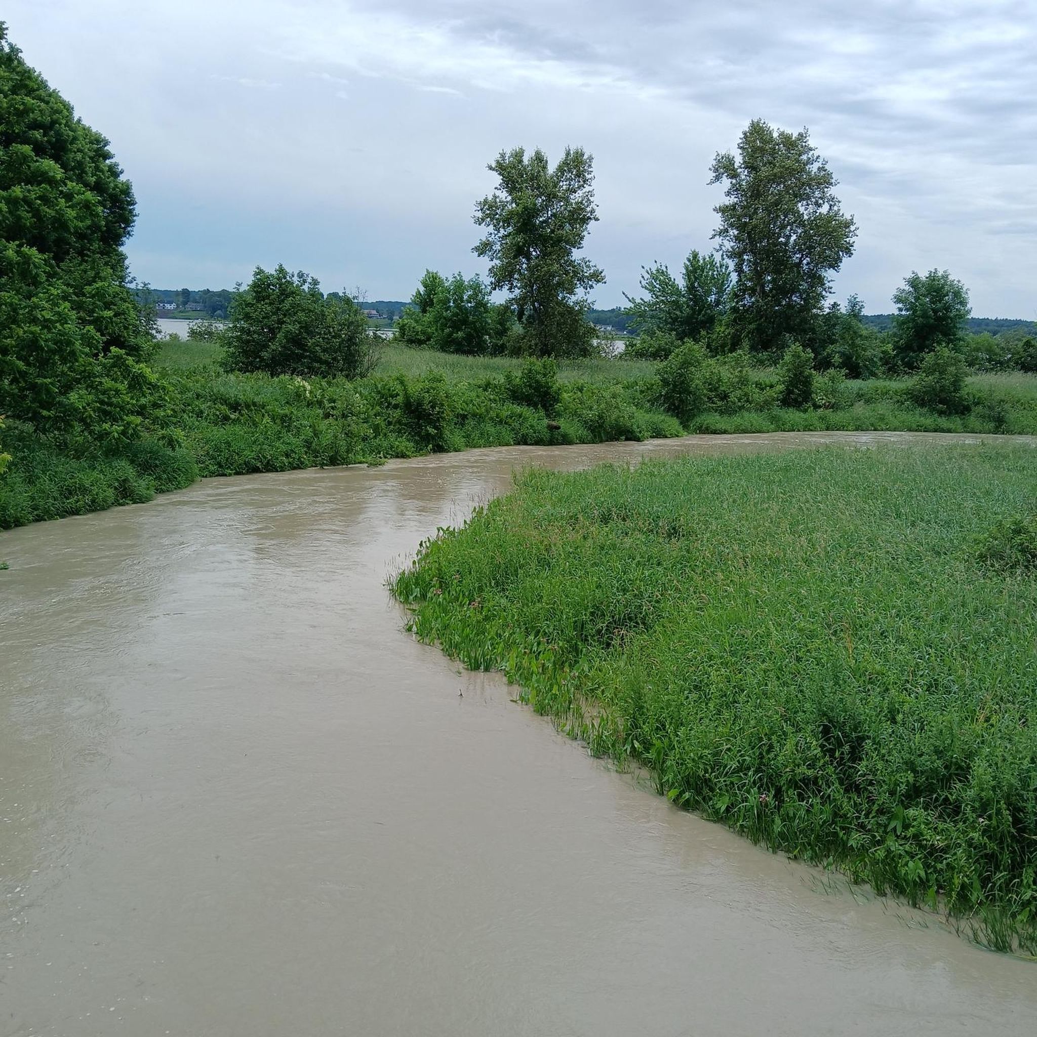
Rivière du Lièvre is the main feature here, with long stretches of water broken up by faster-flowing rapids near the dam. It’s a really nice river to walk beside because the scenery changes quite a bit as you go, from calmer sections to noisier, more powerful water. There are a few good spots along the bank to stop for a better look, especially around the rapids.
0
0
Sentier Armand-Daddy-Lacelle follows the Rivière du Lièvre for about 2.5 kilometres, with the water never far away as you make your way through the park. One of the nicest sections runs beside the rapids and dam, where the river feels much more energetic than the calmer stretches upstream. The trail is easy to follow and makes a lovely riverside walk without taking you far from Buckingham.
0
0
Parc Armand-Daddy-Lacelle sits beside the Rivière du Lièvre in the Buckingham sector of Gatineau, with easy access to the riverside trail from the park. The nicest part is how quickly you reach the water, with rapids and the dam just downstream adding plenty of movement to the view. It’s a simple local park, but a good place to start or finish a walk along this stretch of the river.
0
0
The Bourget sector has more than 14 kilometres of hiking trails, most of them shared with mountain bikers, so keep an ear out and give faster users space to pass. Dogs are welcome but must stay on leash at all times. The trails close each spring during the thaw, generally from March to May, with reopening based on conditions. Check the official Larose Forest Facebook page before heading out for current closures and maintenance updates: www.facebook.com/foretlarose
0
0
Trail 203 is a longer forest section in the Bourget network, running for roughly 1.8 kilometres before continuing as Trail 204. Expect mostly flat terrain through pine and mixed woodland, with a few junctions where the numbered markers are useful for staying on course. Like the other Bourget trails, it’s shared with cyclists and fat bikes. Larose Forest closes its trails during the spring thaw, usually from March to May, so check the official Facebook page for current conditions and reopening updates:https://www.facebook.com/foretlarose
0
0
Trail 205 runs through the Bourget sector of Larose Forest, following mostly flat singletrack through pine and mixed forest. The numbered junctions make navigation fairly straightforward, but it’s worth checking conditions before setting out. Larose Forest trails close each spring during the thaw, usually from March to May, with reopening based on trail conditions. For current closures and maintenance updates, check the official Larose Forest Facebook page: https://www.facebook.com/foretlarose
0
0

The small peepholes with silhouettes of clichéd Canadian motifs are particularly beautiful. The rock face, however, isn't visible; you're probably standing on top of it.
1
0

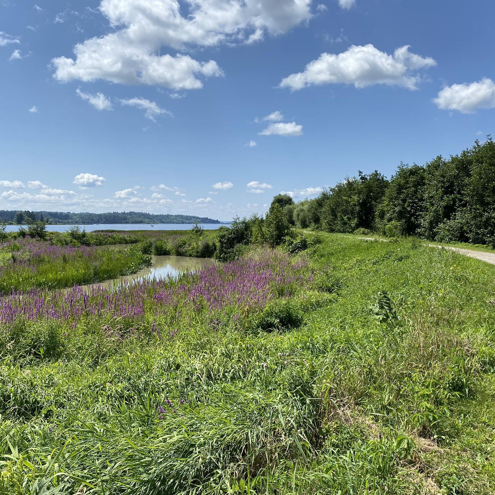
At this vantage point, the mighty Ottawa River is more reminiscent of a lake.
0
0
Frequently Asked Questions
What kind of terrain can I expect on hiking trails in Clarence-Rockland?
Hiking trails in Clarence-Rockland often traverse forested areas, natural parks, and offer views of the Ottawa River. The region features a blend of accessible paths and more extended routes, with generally modest elevation changes, making for varied experiences from leisurely strolls to moderate excursions.
Are there any easy or beginner-friendly hiking trails in the area?
Yes, Clarence-Rockland offers several easy trails suitable for beginners. For example, the La Serpentine Trail loop from Plaisance is an easy 4.0 miles (6.4 km) path with gentle gradients. Another easy option is the La Serpentine Trail loop from La Zizanie-des-Marais, which is about 1.9 miles (3.1 km) long.
What are some scenic highlights or natural features to look out for while hiking?
The region is rich in natural beauty. You can expect scenic views along the Ottawa River, especially on trails within natural parks. Lavigne Natural Park, with its 50 acres of protected forest, offers beautiful walking paths. While not directly in Clarence-Rockland, nearby Plaisance National Park, accessible via routes like Sentier La Serpentine – Plaisance National Park, is known for its diverse landscapes and wildlife.
Are there any circular hiking routes in Clarence-Rockland?
Yes, many trails in the area are designed as loops, offering convenient circular routes. Examples include the La Serpentine Trail loop from Plaisance and the La Petite Presqu'île loop from Plaisance, both providing a complete circuit through natural landscapes.
What is the best time of year for hiking in Clarence-Rockland?
Clarence-Rockland's pleasant continental climate ensures year-round opportunities for outdoor activities. Warm summer explorations are popular, but the region also offers snowy winter adventures, with some parks like Lavigne Natural Park providing snowshoe and cross-country skiing paths. Spring and autumn offer vibrant natural colors and comfortable temperatures for hiking.
Are the hiking trails in Clarence-Rockland suitable for families with children?
Yes, many of the trails are family-friendly, especially the easier routes with gentle gradients. The numerous parks in Clarence-Rockland, such as Du Moulin Park and Patricia Charron Park, offer serene settings and well-maintained trails ideal for nature walks with children.
What do other hikers say about the trails in Clarence-Rockland?
The hiking routes in Clarence-Rockland are highly rated by the komoot community, with an average score of 5.0 stars from 3 reviews. Hikers often praise the varied terrain and the peaceful natural settings, particularly within the natural parks and along the riverfront paths.
How long do hikes in Clarence-Rockland typically take?
Hike durations vary depending on the route and your pace. For instance, the Sentier La Serpentine – Plaisance National Park, a moderate 9.6 miles (15.5 km) trail, typically takes about 4 hours. Shorter, easy routes like the La Serpentine Trail loop from La Zizanie-des-Marais can be completed in under an hour.
Are there any trails that offer a moderate challenge?
For those seeking a moderate challenge, routes like Sentier La Serpentine – Plaisance National Park, at 9.6 miles (15.5 km), or the La Petite Presqu'île – La Serpentine Trail loop from Aire Desjardins, which is 8.0 miles (12.9 km), provide varied terrain and modest elevation gains suitable for moderate excursions.
What are the options for parking at trailheads in Clarence-Rockland?
While specific parking details for every trailhead are not available, the region's commitment to accessible trails suggests that many parks and natural areas will have designated parking. For trails within Plaisance National Park, parking facilities are typically available at park entrances or designated access points.
Can I access hiking trails in Clarence-Rockland using public transport?
Clarence-Rockland is a blend of rural charm and urban vibrancy. While local public transport options exist within the city, direct public transport access to all trailheads, especially those in more remote natural parks, may be limited. It is advisable to check local transit schedules for routes that serve areas closer to your desired hiking starting points.
Most popular attractions around Clarence-Rockland

Get inspired with the komoot mobile app


Explore more
Browse the best Hikes in other regions.
