The best MTB trails around Whitchurch-Stouffville
4.8
(12)
84
riders
10
rides
Mountain biking around Whitchurch-Stouffville provides access to an extensive network of trails across a landscape characterized by rolling hills, dense forests, and agricultural land. The region is situated on the Oak Ridges Moraine, featuring unique geological formations and varied terrain suitable for mountain biking. Numerous conservation areas and tracts of the York Regional Forest contribute to the area's outdoor appeal, offering diverse routes for different skill levels.
Best mountain bike trails around Whitchurch-Stouffville
- The most popular mountain bike trail is…
Last updated: October 29, 2026
5.0
(4)
18
riders
Easy mountain bike ride.
5.0
(2)
12
riders
25.7km
02:00
210m
210m
Easy mountain bike ride.

5.0
(4)
10
riders
Easy mountain bike ride.
5.0
(1)
14
riders
Moderate mountain bike ride. Good fitness required.
4.0
(1)
6
riders
Easy mountain bike ride.
Get access to more routes and recommendations from other explorers.
Already have an account?
Our route recommendations are based on thousands of hikes, rides, and runs completed by other people on komoot.
Start today with a free account
Your next adventure awaits.
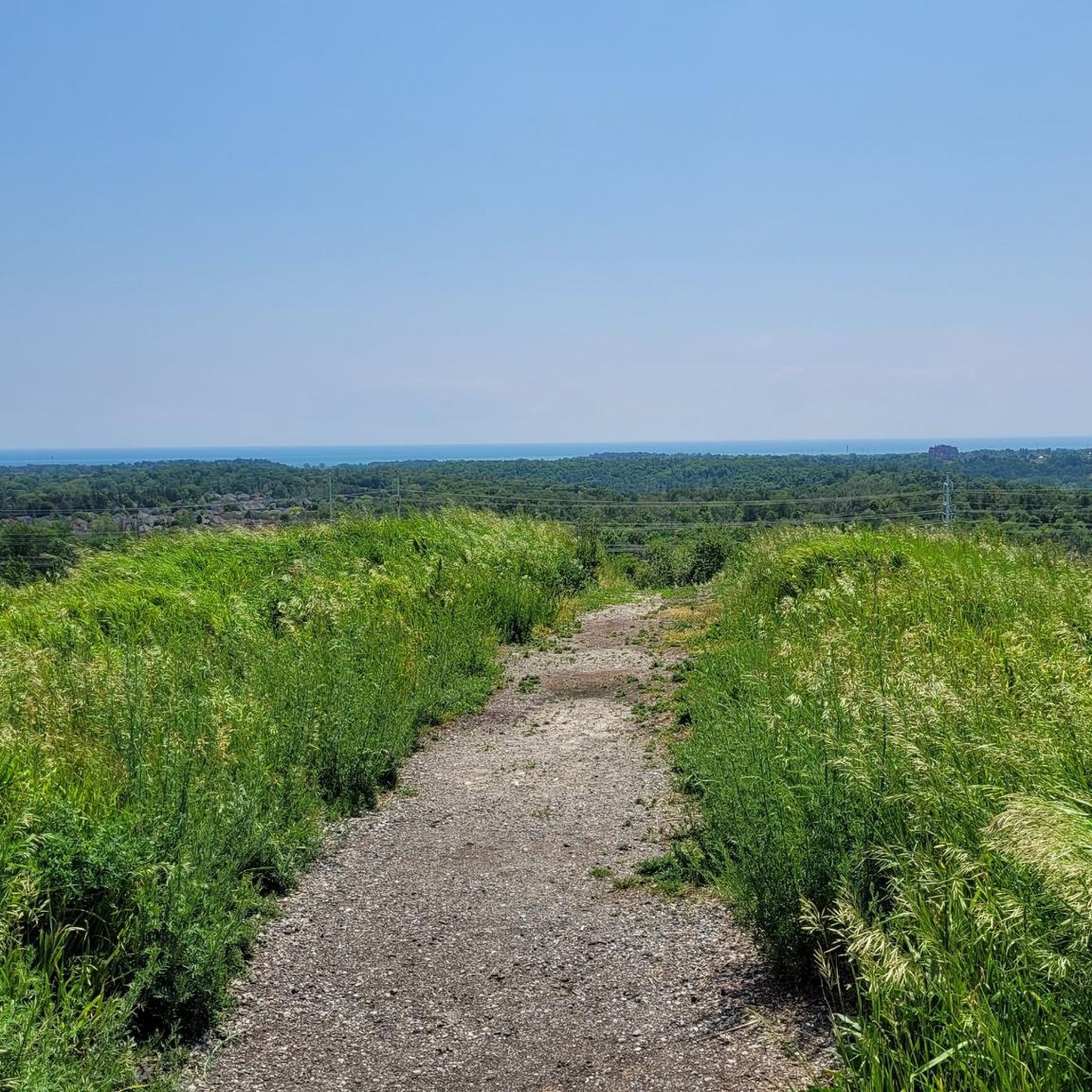

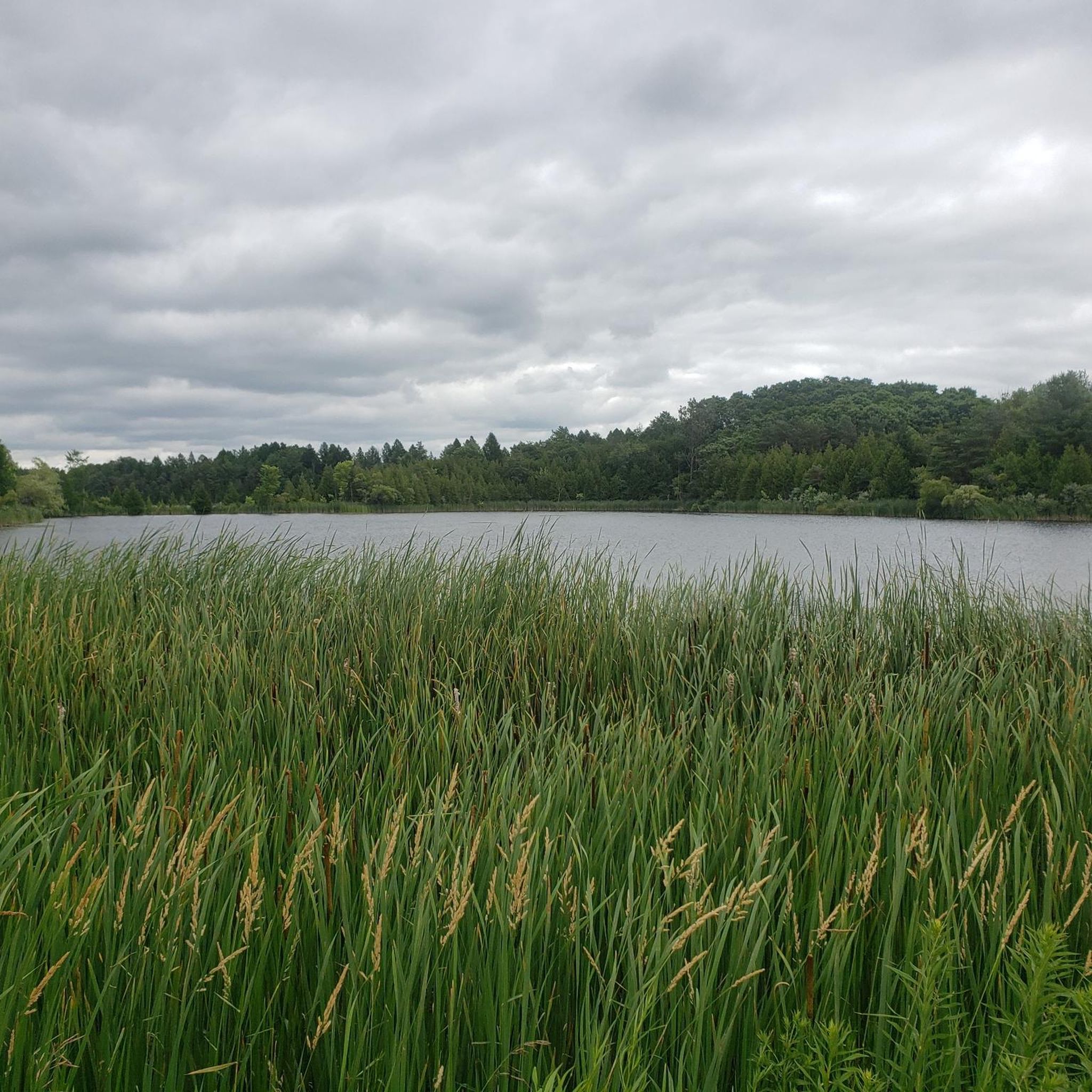
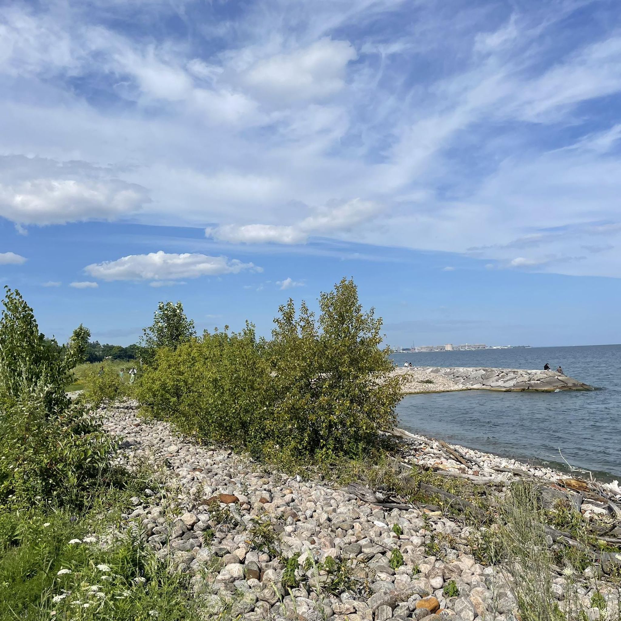

Tips from the Community

This trailhead is located in the small community of Altona and provides access to the northern and southern sections of the Rouge National Urban Park Trail. From here, you can head east a few steps along Uxbridge-Pickering Townline Road to connect with the trail north toward Glasgow or head south to Black Walnut Day Use Area.
0
0
Rouge National Urban Park Trail is an easy, beautiful multi-use route through one of Canada’s most diverse protected landscapes, connecting forests, wetlands, meadows, and working farmland. It’s a well-maintained path with a few boardwalks that cross creeks and pass restored natural areas, with excellent opportunities to spot birds, turtles, and other wildlife. It’s a great way to experience the unique mix of nature and active farmland that makes Rouge National Urban Park unlike any other national park.
0
0
Black Walnut Day Use Area is a hub for access to several trails in Rouge National Urban Park. There is ample free parking, washrooms, water refill stations, picnic areas, and trail information, making it a convenient place to start and end your journey. From here, you can explore trails through restored wetlands, forests, and the park’s historic agricultural landscape.
0
0
Jefferson Forest Trails form an informal network of natural-surface paths in the Jefferson Forest area of Richmond Hill. The system includes winding singletrack routes through mixed woodland, with sandy sections, tree roots and gentle elevation changes. Popular with hikers, trail runners, and mountain bikers, the trails are not formally signed, so local knowledge and/or your offline komoot GPS route are best for navigation.
0
0

This is an easy, shady singletrack that you can use to connect the upper and lower trail networks of Jefferson Forest.
0
0

There is a bench at this junction where you can rest for a moment. There is also a junction marker with a map to help you navigate your way through the south end of Walker Woods and Glen Major Forest.
0
0
There is ample parking at this lot with maps and access to the southern part of Walker Woods and Glen Major Forest. This network of trails winds through the forest and is especially popular for hiking and mountain biking.
0
0
There is a gate here connecting Walker Woods and Glen Major Forest with a bench where you can sit for a break if needed. If you're looping around Walker Woods, you can skip the gate and continue along The Grind trail.
0
0
Frequently Asked Questions
What kind of terrain can I expect on mountain bike trails in Whitchurch-Stouffville?
Whitchurch-Stouffville offers a diverse range of terrain, from smooth soil and gravel paths to more rustic, unpaved sections through wooded areas. The region is characterized by rolling hills, dense forests, and agricultural land, particularly influenced by the Oak Ridges Moraine, which contributes to varied geological formations. You'll find trails suitable for different skill levels, with some featuring moderate elevation gains.
How many mountain bike trails are available in Whitchurch-Stouffville?
There are 15 mountain bike routes documented on komoot for the Whitchurch-Stouffville area. The broader region, including the extensive trail networks within the York Regional Forest and conservation areas, offers a significantly larger number of trails for exploration.
Are there mountain bike trails suitable for beginners in Whitchurch-Stouffville?
Yes, Whitchurch-Stouffville is very welcoming for beginners. Out of the 15 routes available, 13 are rated as easy. An example of an easy route is the Moto XC Trail – Bethesda Road loop from Aurora—Oak Ridges—Richmond Hill, which is 12.6 km long and takes about 1 hour to complete, navigating through wooded areas with a mix of smooth soil and gravel paths.
What do other mountain bikers enjoy most about mountain biking in Whitchurch-Stouffville?
The area is highly rated by the komoot community, with an average score of 4.7 stars from more than 20 reviews. Mountain bikers often praise the extensive trail networks, the diverse landscape of the Oak Ridges Moraine, and the numerous conservation areas that provide varied and engaging routes for all ability levels.
Are there any family-friendly mountain bike trails in Whitchurch-Stouffville?
Many of the easy-rated trails in Whitchurch-Stouffville are suitable for families. These trails typically feature smoother surfaces and less challenging elevation changes. The region's extensive network within areas like the York Regional Forest often includes multi-use paths that are great for family outings.
Can I bring my dog on the mountain bike trails in Whitchurch-Stouffville?
Many trails in the Whitchurch-Stouffville area, particularly within the York Regional Forest and conservation areas, are dog-friendly. However, it's always best to check specific trail regulations before heading out, as leash laws and access rules can vary by park or conservation area. Always ensure your dog is under control and clean up after them.
Are there mountain bike trails that are loop routes?
Yes, many mountain bike trails in Whitchurch-Stouffville are designed as loops, offering a convenient way to start and end your ride at the same point. An example is the Moto XC Trail – Oak Ridges Trail loop from Aurora—Oak Ridges—Richmond Hill, which covers 19.7 km and takes approximately 1 hour 20 minutes.
What are some scenic spots or natural features I might encounter on the trails?
The trails in Whitchurch-Stouffville are known for their scenic beauty, traversing the unique landscapes of the Oak Ridges Moraine, which includes kettle lakes, wetlands, forests, and meadows. You might also pass through various tracts of the York Regional Forest and conservation areas like Whitchurch Conservation Area, offering mature plantations and new forest growth. For specific natural attractions, consider visiting Oak Ridges Corridor Conservation Reserve or Bond Lake.
Are there any places to stop for refreshments near the mountain bike trails?
Yes, Whitchurch-Stouffville has options for refreshments. For example, you can find local cafes like Annina's Bakeshop & Café or Red Bulb Coffee Bar, which are popular spots for cyclists to refuel.
Are there any longer mountain bike routes for more experienced riders?
While most routes are easy, there are longer options for those looking for more distance. For instance, the Mountainbike loop from Stouffville GO Station is 24.5 km long and takes around 1 hour 50 minutes, offering a good endurance challenge through varied terrain.
What is the best time of year to go mountain biking in Whitchurch-Stouffville?
The best time for mountain biking in Whitchurch-Stouffville is typically from spring through fall, when the weather is mild and trails are dry. The region's forests and varied terrain offer beautiful scenery during these seasons. While some trails may be accessible in winter, conditions can be challenging due to snow and ice, so always check local trail conditions before heading out.
Are there any trails that connect to larger networks?
Yes, many trails in Whitchurch-Stouffville connect to larger networks. The area is part of the extensive York Regional Forest trail system, and the Oak Ridges Trail, a 280-kilometer trail along the moraine, also passes through the region, providing ample opportunities for extended rides and exploration.
Most popular routes around Whitchurch-Stouffville
Most popular attractions around Whitchurch-Stouffville

Get inspired with the komoot mobile app


Explore more
Browse the best MTB trails in other regions.
