The best walks and hikes around Sainte-Agathe-des-Monts
4.4
(56)
1,054
hikers
50
hikes
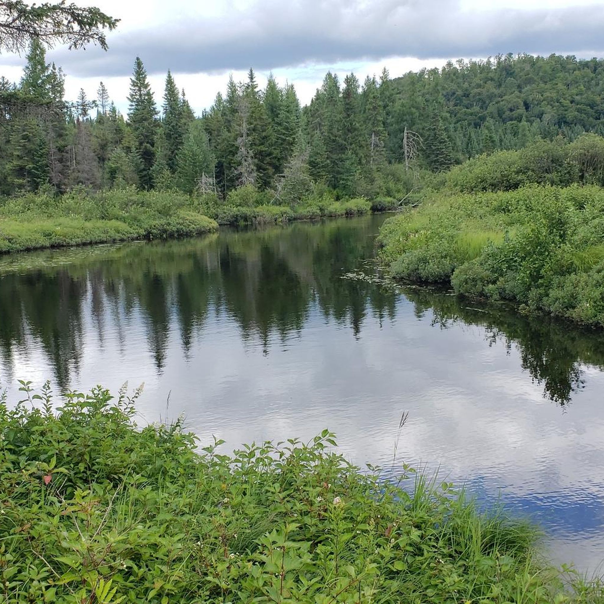
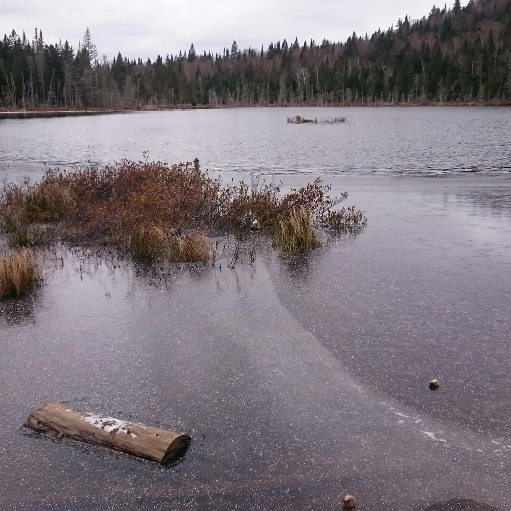
Hiking around Sainte-Agathe-des-Monts offers diverse landscapes within the Laurentian Mountains. The region features mixed forests composed of hardwoods and conifers, providing varied terrain for exploration. Lac des Sables is a central natural feature, offering views from its shores. Cliffs like Cap Beauséjour also contribute to the area's topography.
Best hiking trails around Sainte-Agathe-des-Monts
- The most popular hiking route is View from Les Fesses Cliff – View of Mont King and the Pond loop from Val-David, a 5.7 miles (9.1 km) trail that takes 2 hours 47 minutes to complete. This moderate path offers views of Mont King and a pond.
- Another top favourite among local hikers is Mont Condor Ouest loop from Val-David, a moderate 2.5 miles (4.0 km) path. This route features an ascent of 448 feet (137 meters) through the local terrain.
- Local hikers also love the View of Mont King and the Pond – View from Les Fesses Cliff loop from Val-David, a 7.8 miles (12.5 km) trail leading through varied landscapes, often completed in about 3 hours 58 minutes.
- Hiking around Sainte-Agathe-des-Monts is defined by the Laurentian Mountains, mixed forests, and views of Lac des Sables. The network offers options for different ability levels, from easy walks to moderate climbs.
- The routes in Sainte-Agathe-des-Monts are highly rated by the komoot community with an average score of 4.6 stars from over 38 reviews. More than 900 hikers have used komoot to explore Sainte-Agathe-des-Monts's varied terrain.
Last updated: August 14, 2026
5.0
(10)
269
hikers
Moderate hike. Good fitness required. Mostly accessible paths. Sure-footedness required.
5.0
(1)
62
hikers
4.05km
01:15
140m
140m
Moderate hike. Great for any fitness level. Mostly accessible paths. Sure-footedness required.

Sign up for free
4.8
(5)
33
hikers
Moderate hike. Good fitness required. Mostly accessible paths. Sure-footedness required.
5.0
(1)
24
hikers
7.36km
02:08
180m
180m
Moderate hike. Good fitness required. Mostly accessible paths. Sure-footedness required.
5.0
(1)
13
hikers
6.96km
01:48
30m
30m
Easy hike. Great for any fitness level. Easily-accessible paths. Suitable for all skill levels.
Get access to more routes and recommendations from other explorers.
Sign up for free
Already have an account?
Our route recommendations are based on thousands of hikes, rides, and runs completed by other people on komoot.
Start today with a free account
Your next adventure awaits.
Login or Signup
Tips from the Community

Beautiful hike with a very calm atmosphere. The Mont King trail leads to the Amphitheatre, offering a stunning open viewpoint. I filmed the route for anyone who wants to get a feel for the trail beforehand: https://youtu.be/tJU5BQ0oPpQ
0
0

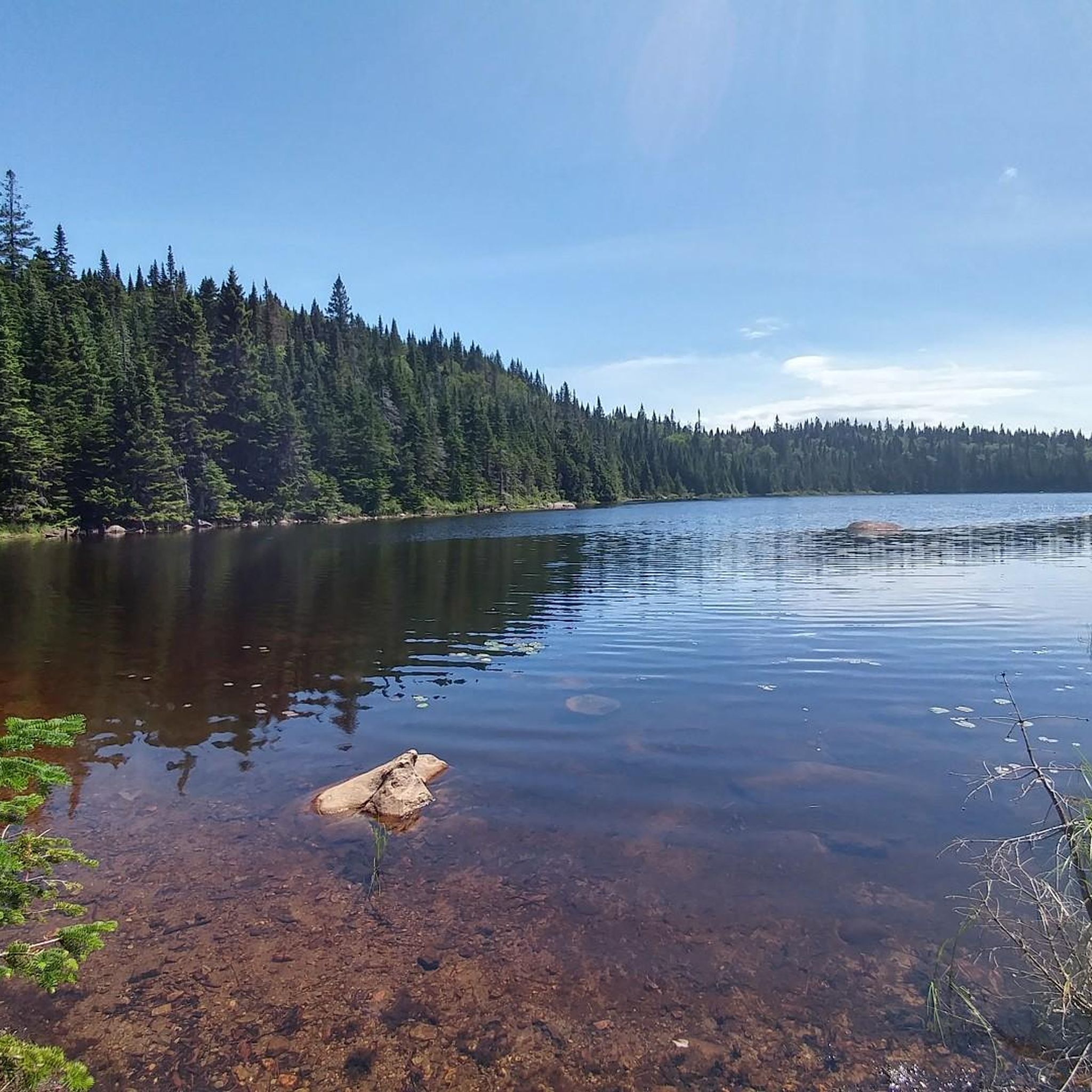
Beautiful lake, extremely quiet. Many animals roam around.
1
0
Frequently Asked Questions
How many hiking trails are available in Sainte-Agathe-des-Monts?
Sainte-Agathe-des-Monts offers a wide selection of hiking opportunities, with over 50 routes available. These trails cater to various skill levels, including 16 easy routes and 34 moderate options, ensuring there's something for everyone to explore.
Are there easy hiking trails suitable for beginners or families?
Yes, Sainte-Agathe-des-Monts provides several easy trails perfect for beginners or families. For instance, the Lac Raymonde loop from Val-David is an easy 6.9 km route that takes approximately 1 hour 47 minutes to complete, offering a gentle introduction to the region's natural beauty.
What kind of views can I expect on hikes around Sainte-Agathe-des-Monts?
Hiking in Sainte-Agathe-des-Monts offers breathtaking views of the Laurentian Mountains and the tranquil Lac des Sables. Many trails lead to lookouts, providing panoramic vistas of the mixed forests and the surrounding landscape. A notable viewpoint is the View of Mont King and the Pond, which can be enjoyed on routes like the View from Les Fesses Cliff – View of Mont King and the Pond loop from Val-David.
Are there any circular hiking routes in the area?
Yes, many of the trails around Sainte-Agathe-des-Monts are designed as loops, allowing you to start and end at the same point. Examples include the Mont Condor Ouest loop from Val-David, a moderate 4.0 km route, and the longer View of Mont King and the Pond – View from Les Fesses Cliff loop from Val-David, which spans 12.5 km.
Can I bring my dog on the hiking trails in Sainte-Agathe-des-Monts?
Many trails in the Sainte-Agathe-des-Monts region are dog-friendly, but it's always best to check specific park regulations or trail signage before heading out. Generally, dogs are welcome on leash in many outdoor areas, allowing you to enjoy the Laurentian scenery with your canine companion.
What is the best time of year to go hiking in Sainte-Agathe-des-Monts?
The Sainte-Agathe-des-Monts region is beautiful year-round, but each season offers a unique experience. Spring brings fresh greenery, summer provides warm weather for extended hikes, and autumn is particularly stunning with the dazzling fall foliage of the mixed forests. Winter offers opportunities for snowshoeing on many trails. The best time depends on your preference for scenery and weather conditions.
Are there any unique attractions or landmarks to visit besides hiking?
Absolutely! Beyond hiking, Sainte-Agathe-des-Monts offers unique attractions. You can visit the Laurentides Treetop Walk, a nearly one-kilometer path winding through the treetops to a 40-meter observation tower. The region also features Tyroparc for adventure activities like Via Ferrata and mega ziplines, and the tranquil Lac des Sables for water activities and scenic views.
What do other hikers say about the trails in Sainte-Agathe-des-Monts?
The hiking trails around Sainte-Agathe-des-Monts are highly rated by the komoot community, with an average score of 4.6 stars from over 38 reviews. Hikers often praise the diverse landscapes, the well-maintained paths, and the stunning views of the Laurentian Mountains and Lac des Sables. Over 900 hikers have used komoot to explore this varied terrain.
Where can I find parking for the hiking trails in the region?
Parking availability varies by trailhead and park. Many regional parks, such as Sainte-Agathe-des-Monts Regional Park, offer designated parking areas. For specific routes, it's advisable to check the route details on komoot or local park websites, as some popular trailheads may have limited parking or require fees.
Are there any longer hiking options for experienced hikers?
While there are no 'difficult' rated trails in our current selection, experienced hikers can combine moderate routes or choose longer loops to extend their adventure. The View of Mont King and the Pond – View from Les Fesses Cliff loop from Val-David, at 12.5 km with over 400 meters of elevation gain, offers a more substantial challenge and takes nearly 4 hours to complete.
Is public transport available to reach hiking trailheads?
While direct public transport to all trailheads might be limited, the region has historical train stations that are now part of recreational paths like Le P'tit Train du Nord. The Val-David Train Station and the Former Sainte-Agathe-des-Monts Train Station are examples of facilities that could serve as access points or nearby landmarks for some trails, though a car is generally recommended for wider access.
Are there any permits or fees required to access hiking areas?
Access to certain regional parks and private lands may require permits or entrance fees. For example, areas within the Sainte-Agathe-des-Monts Regional Park or Val-David-Val-Morin Regional Park often have fees to support trail maintenance and conservation efforts. It's recommended to check the official websites of the specific parks you plan to visit for current information on access requirements.
Most popular routes around Sainte-Agathe-des-Monts
Most popular attractions around Sainte-Agathe-des-Monts

Get inspired with the komoot mobile app


Explore more
Browse the best Hikes in other regions.
