The best running trails around Wellesley
5.0
(4)
659
runners
64
runs
Jogging around Wellesley offers access to an extensive network of trails and diverse natural features. The region is characterized by serene lakes, winding rivers like the Charles, and expansive woodlands, providing varied terrain for runners. Numerous paths follow historical aqueducts, offering level surfaces, while other routes traverse gentle hills and open fields. This landscape provides a mix of challenging and accessible running experiences.
Best jogging routes around Wellesley
- The most popular jogging route is Columbia Forest – Geo-Time Trail loop…
Last updated: October 29, 2026
5.0
(1)
28
runners
13.1km
01:33
150m
150m
Moderate run. Good fitness required. Mostly paved surfaces.
10
runners
8.63km
01:01
20m
20m
Moderate run. Good fitness required. Mostly paved surfaces.

11
runners
14.3km
01:31
60m
60m
Moderate run. Good fitness required. Mostly paved surfaces.
12
runners
26.8km
02:48
120m
120m
Hard run. Very good fitness required. Mostly paved surfaces.
9
runners
5.81km
00:37
40m
40m
Moderate run. Good fitness required. Mostly paved surfaces.
Get access to more routes and recommendations from other explorers.
Already have an account?
Our route recommendations are based on thousands of hikes, rides, and runs completed by other people on komoot.
Start today with a free account
Your next adventure awaits.

Tips from the Community

The monument does more than just show off old European design. It sits at the center of modern community conversations. As you walk by, you might notice how it serves as a powerful reminder of Canada's complex colonial past. In fact, local groups are working to add new Indigenous artwork nearby to give you a fuller look at the area's diverse history.
0
0
Officially named Otis Little Lake but known by locals simply as the lake at Victoria Park, this man-made gem has been a community hub since 1896.
0
0
Built back in 1896, this rare, iron-and-steel cantilever truss bridge is one of the oldest of its kind in Canada.
1
0

From here you'll have access to a multitude of trail like Upper Ities, Downtown, The 4 Ities, and A-Line. The are all multi-use trail with some features built for mountain bikers, so keep an eye out for your fellow trail users.
0
0

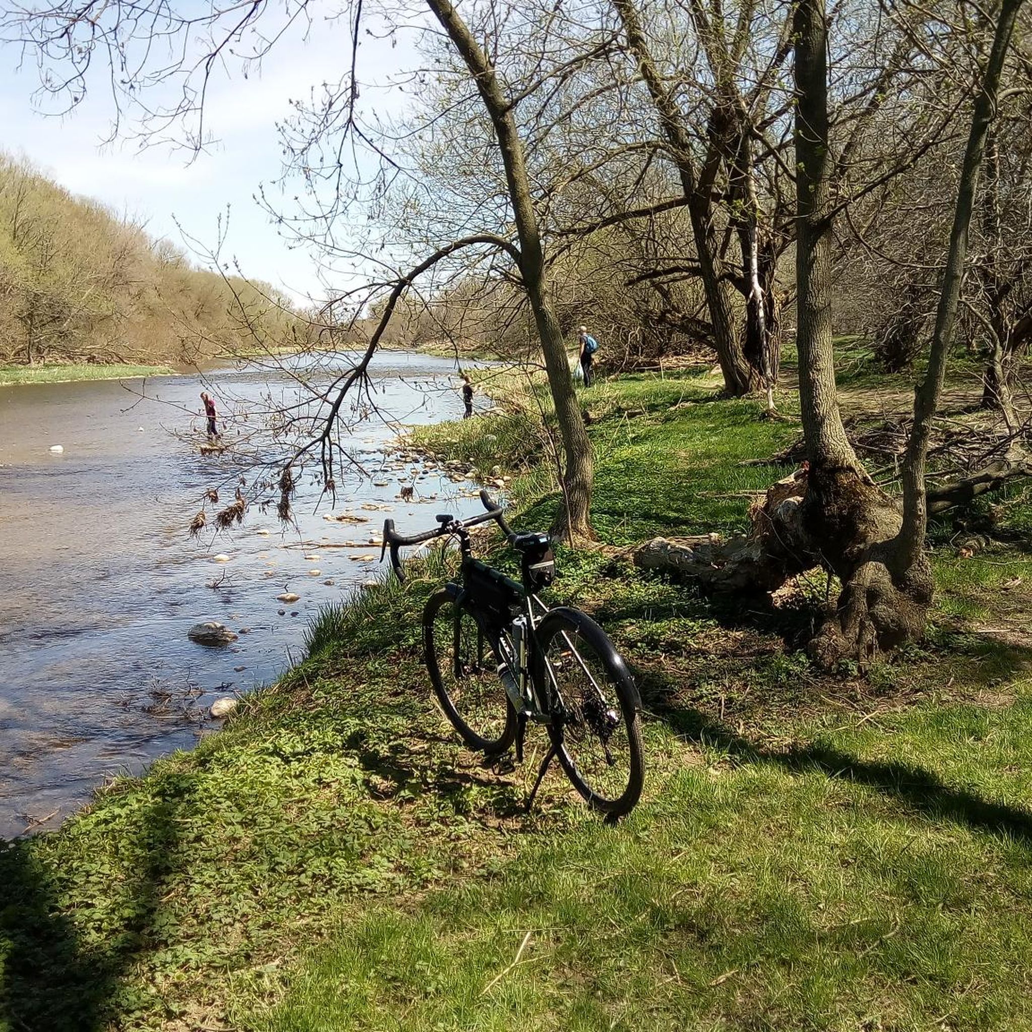
Laurel Creek runs quietly alongside much of the trail. In most sections, it’s wide like a small river, with reeds, grasses, and low vegetation lining the banks. The water level can vary depending on rainfall, and in drier periods it can look quite low. It’s not used for recreation, but it adds a consistent natural element to the route, especially through the less developed stretches.
0
0
Laurel Trail runs for about eight kilometres alongside Laurel Creek, connecting Uptown Waterloo with the University of Waterloo and down to Columbia Lake. It’s a multi-use route with a mix of paved and gravel sections, so you’ll be sharing it with cyclists in places. The terrain is mostly level, following the creek through a mix of urban green space and more natural stretches. It’s easy to dip in and out of, but also works well as a continuous route if you follow it end to end.
0
0
Columbia Lake is a shallow, man-made lake designed as part of a stormwater and wetland system on the University of Waterloo campus. The water is generally still, with large sections of reeds and marsh around the edges rather than open shoreline. It’s not used for swimming or boating, but it attracts plenty of birdlife, especially around the quieter sections. The level can fluctuate depending on rainfall, so it can look different throughout the year.
0
0
The Columbia Forest is a wonderful natural escape on the outer edge of Waterloo. There is a robust trail network through the woods that allows hikers, runners, and mountain bikers access to a variety of terrain.
0
0
Frequently Asked Questions
How many running routes are available in Wellesley?
Wellesley offers an extensive network of trails, with over 70 running routes documented on komoot. These range from easy strolls to more challenging runs, catering to various fitness levels. The town itself boasts 48 miles of trails, with 30 miles forming a marked, interconnecting network.
What kind of natural features can I expect to see along the running trails in Wellesley?
Wellesley's running routes showcase a rich variety of natural beauty. You can expect serene lakes like Lake Waban, winding rivers such as the Charles River, and expansive woodlands including the Town Forest. Many paths follow historical aqueducts, offering unique perspectives, while others traverse gentle hills and open fields. Notable spots include the scenic shoreline of Longfellow Pond and the high esker in the Town Forest.
Are there any easy running routes suitable for beginners or families in Wellesley?
Yes, Wellesley has several easy and family-friendly options. The 2.75-mile path around Lake Waban on the Wellesley College campus is a popular choice, offering picturesque views. The Brook Path, an ADA-compliant stone-dust path, also provides an easily accessible and pleasant route through the town center. For a slightly longer but still easy option, the Longfellow Pond Trail within the Town Forest is noted as enjoyable for families.
Are there any circular running routes in Wellesley?
Yes, many of Wellesley's trails are designed as loops, perfect for circular runs. A prominent example from the region is the Columbia Forest – Geo-Time Trail loop from Columbia Forest, an 8.2-mile moderate trail. The Wellesley Grand Tour, a 10.8-mile loop, also combines several local trails for a longer circular excursion.
What are some scenic running trails in Wellesley?
For scenic runs, the path around Lake Waban on the Wellesley College campus offers beautiful water and campus views. The Sudbury Aqueduct Path provides a 16-mile traffic-free route through woodlands and grasslands. Additionally, the trails within Elm Bank Reservation feature expansive gardens and scenic paths, while Centennial Reservation offers trails through woodlands and open fields, culminating in views from Maugus Hill.
Can I bring my dog on the running trails in Wellesley?
Wellesley is generally dog-friendly, but specific rules may vary by location. Many of the town's extensive trail networks, including those in the Town Forest and along the aqueducts, are suitable for running with dogs. It's always best to check local signage or the specific trail's regulations regarding leash requirements and waste disposal to ensure a pleasant experience for everyone.
Are there any interesting landmarks or attractions near the running routes?
Absolutely! Wellesley's running routes are often close to interesting landmarks and attractions. The Wellesley College campus itself is a landmark, designed by Frederick Law Olmsted. Along the Charles River, you can find Hemlock Gorge with its unique geological features and Echo Bridge. Other nearby attractions include Waterloo Park and the Grand River Trail. Elm Bank Reservation, home to the Massachusetts Horticultural Society, also offers beautiful gardens and trails.
What is the difficulty level of running routes in Wellesley?
Wellesley offers a range of difficulty levels. Out of the 74 routes on komoot, 7 are classified as easy, 57 as moderate, and 10 as difficult. This variety ensures that both beginners and experienced runners can find suitable challenges. For example, the Waterloo Park – City Cafe Bakery loop from Trillium Valley Park is a difficult 16.5-mile route, while many shorter loops are moderate or easy.
Are there any running routes that offer views of water bodies?
Yes, Wellesley is rich in routes with water views. The path around Lake Waban is a prime example, offering continuous lake vistas. The Charles River winds through Wellesley, providing scenic spots, and Morses Pond also has surrounding trails with water views. Additionally, the Woolwich Reservoir loop from Elmira offers views of the reservoir and surrounding natural areas.
What do other runners enjoy most about jogging in Wellesley?
Runners frequently praise Wellesley for its extensive and well-maintained trail networks, the serene natural beauty, and the variety of terrain. The presence of scenic lakes, winding rivers, and expansive woodlands provides diverse and engaging running experiences. The vibrant running culture, including the famous 'Scream Tunnel' at Wellesley College during the Boston Marathon, also adds to the town's appeal for runners.
Are there any less-known or 'hidden gem' running spots in Wellesley?
While many trails are popular, Centennial Reservation is often considered a hidden gem. It features trails that meander through woodlands and open fields, offering a quieter experience and culminating in views from Maugus Hill, one of Wellesley's highest points. The extensive woodland trails within the Town Forest, particularly the less-trafficked sections, can also offer a sense of discovery.
Is public transport available to access running trails in Wellesley?
Wellesley has public transportation options that can help you access various parts of the town, including areas near trailheads. For specific routes and schedules, it's advisable to consult local public transport information. For general information on active recreation areas in Wellesley, you can visit wellesleyma.gov.
Where can I find parking near the running trails?
Parking is generally available at various trailheads and public parks throughout Wellesley. For instance, the Wellesley College campus offers parking for those accessing Lake Waban. Many town parks and reservations, like Elm Bank Reservation and the Town Forest, also provide designated parking areas. For more detailed information on specific trail access and parking, you can check the town's official resources like wellesleyma.gov/Favorite-Trail-Walks.
Most popular routes around Wellesley
Most popular attractions around Wellesley

Get inspired with the komoot mobile app


Explore more
Browse the best Running Trails & Routes in other regions.
