The best walks and hikes around Whitby
4.7
(39)
322
hikers
51
hikes
Hiking around Whitby offers a diverse landscape where the North York Moors meet the Yorkshire Coast. The region is characterized by dramatic coastal scenery, including rugged cliffs and expansive beaches, alongside ancient woodlands and rolling moorland. The River Esk flows through the area, providing tranquil riverside paths. This varied terrain provides options for different ability levels, from easy strolls to more challenging long-distance routes.
Best hiking trails around Whitby
- The most popular hiking route is Whitby Waterfront Trail, a…
Last updated: July 28, 2026
21
hikers
7.52km
01:55
30m
30m
Easy hike. Great for any fitness level. Easily-accessible paths. Suitable for all skill levels.
9
hikers
3.15km
00:51
40m
40m
Easy hike. Great for any fitness level. Easily-accessible paths. Suitable for all skill levels.

Sign up for free
5
hikers
4.01km
01:01
10m
10m
Easy hike. Great for any fitness level. Easily-accessible paths. Suitable for all skill levels.
2
hikers
4.71km
01:11
10m
10m
Hike the easy 2.9-mile Whitby Waterfront Trail for scenic Lake Ontario views, wetlands, and the Whitby Harbour Marina.
1
hikers
7.29km
01:52
30m
30m
Easy hike. Great for any fitness level. Easily-accessible paths. Suitable for all skill levels.
Get access to more routes and recommendations from other explorers.
Sign up for free
Already have an account?
Our route recommendations are based on thousands of hikes, rides, and runs completed by other people on komoot.
Start today with a free account
Your next adventure awaits.
Login or Signup

Tips from the Community

Devil’s Den Trail is one of the main routes in Heber Down Conservation Area. The trail passes through shaded ravine terrain, crosses bridges and boardwalks, and leads to the area known as Devil’s Den, a narrow valley once tied to local folklore. The story goes that this area was once used as a layover spot for horse thieves in the late 19th century, and later crossed by a railway bridge whose concrete remnants still remain today. With steeper grades and a more enclosed feel than some of the park’s other paths, this trail is ideal for a more rugged and immersive walk through the valley.
0
0
This paved lot is the main access point for the trails in Heber Down Conservation Area, with plenty of parking and washrooms just off Cochrane Street. From here, you can quickly reach the wooded paths, bridges, and the steeper terrain leading into Devil’s Den, making this a popular starting point for longer loops through the conservation area. There is a parking fee of around $6 per vehicle, or it is waived with a CLOCA membership pass.
0
0

Darren Park is a family-oriented park, with lots of activities for kids. In summer the splash pad is pretty popular, and there's a large playground, sandboxes, climbing structures, and even a themed play area with “dinosaur bones.” This park is the northern start point of the Whitby Hydro Corridor Trail.
0
0
Optimist Park is a large greenspace with parking, groomed fields, a kids' play gym, two baseball diamonds, and a soccer field. Optimist Park lies on the eastern end of the Whitby Hydro Corridor Trail, which can easily connect park goers to Glenayr Park, which has basketball courts.
0
0
The Whitby Hydro Corridor Trail spans from Darren Park south to Crawford Street in urban Whitby, linking a handful of parks and surrounded by a long, thin greenspace. The path is paved and quite flat, and there are tons of access points along this 4 kilometre pathway.
0
0

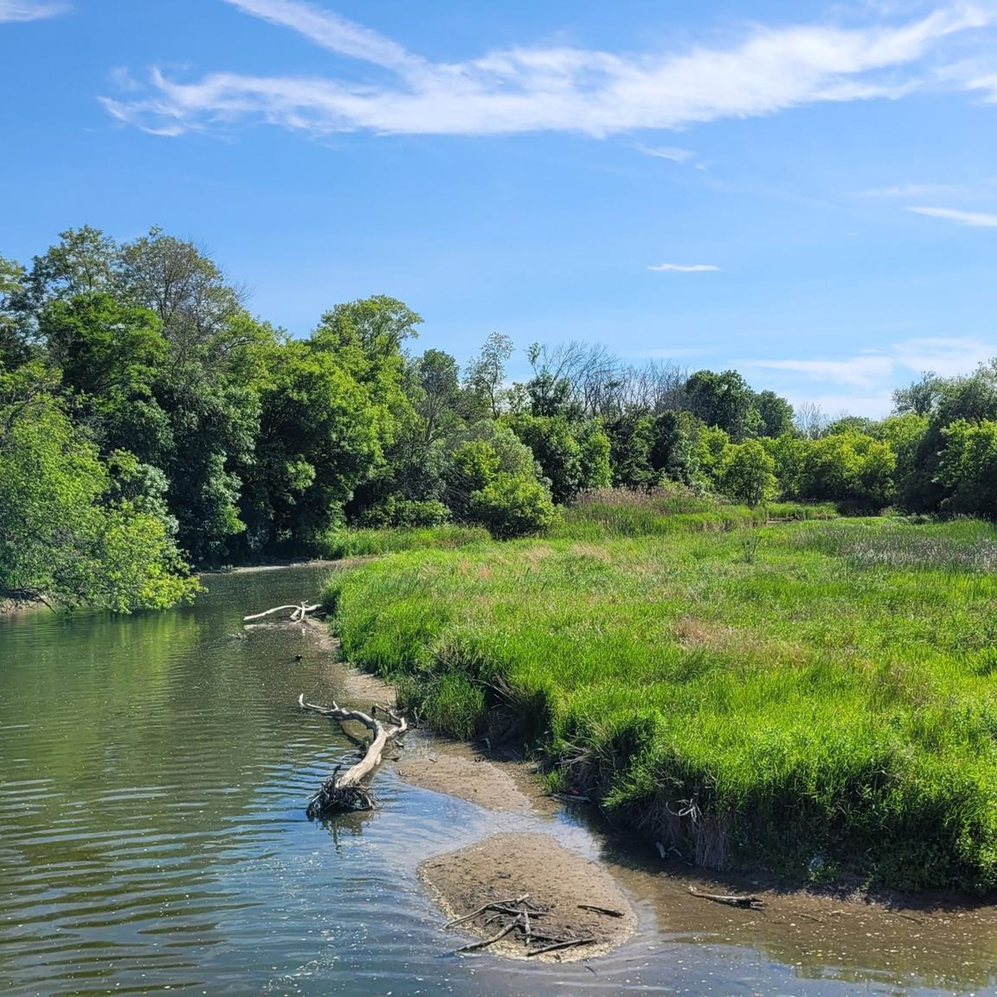
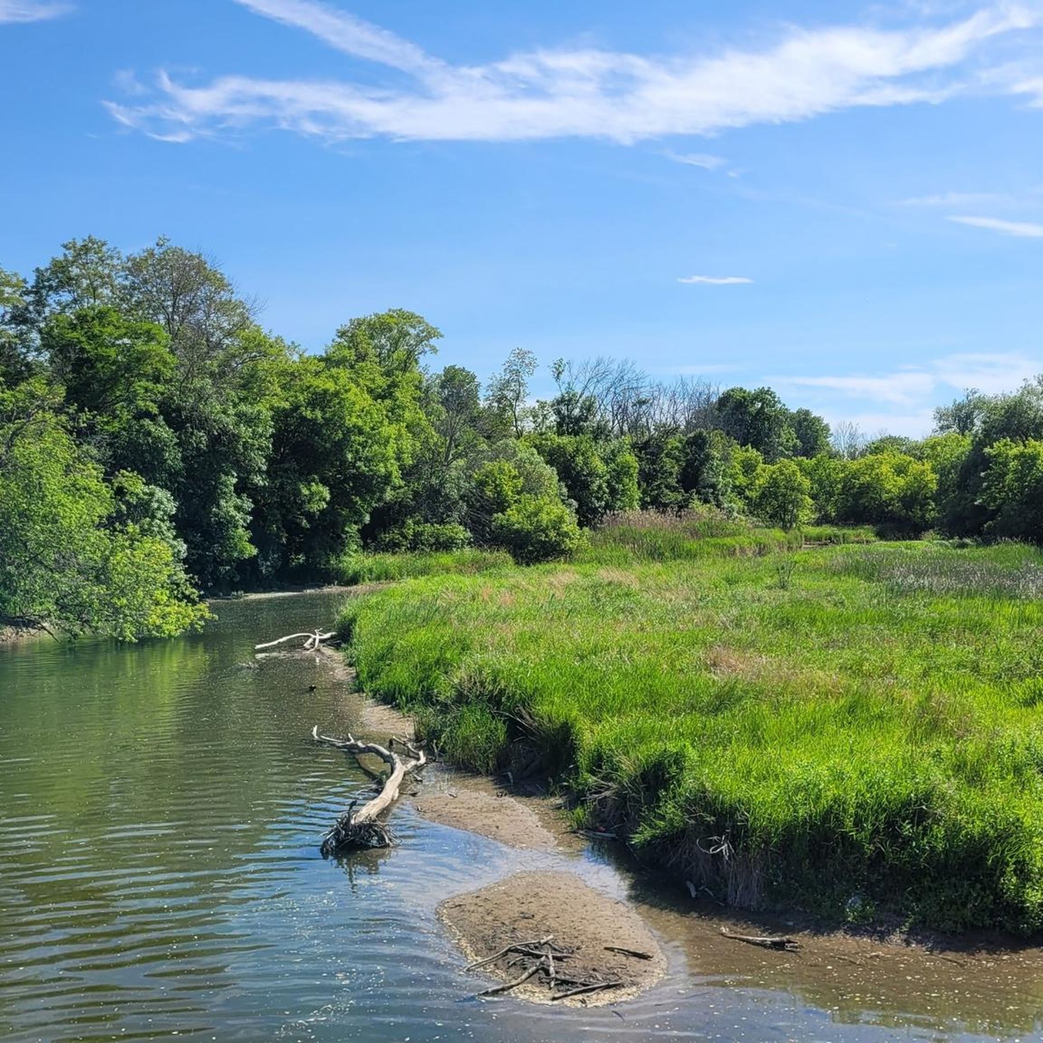
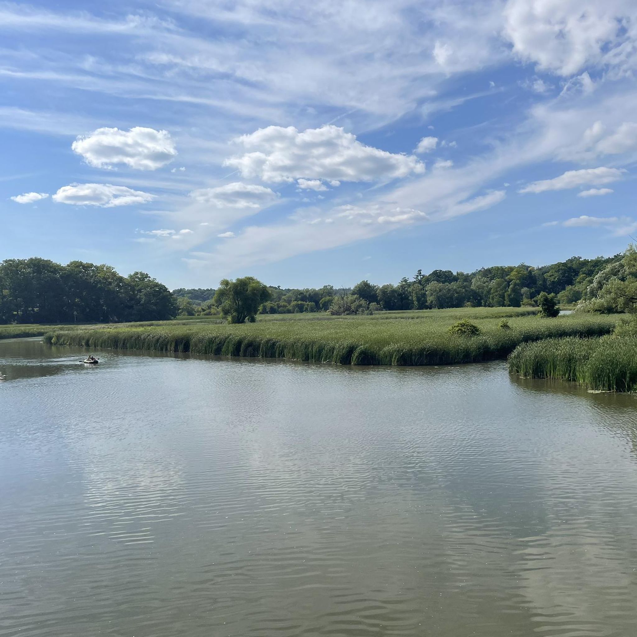
Established in 1972, Lynde Shores Conservation Area offers a network of flat, easy trails that wind through marsh, meadow, and lakeshore forest. Boardwalks and wide paths take you through the mix of wetlands and wooded pockets that draw in waterfowl, deer, and plenty of songbirds creating a relaxed environment near the shore of Lake Ontario.
0
0
The Levay's Lane Trail offers an easy loop with a mix of shaded paths and open clearings. The route follows gentle terrain, crossing small bridges and pockets of wetland where songbirds and waterfowl are common. A short branch of the trail goes along Cranberry Marsh to the shore of Lake Ontario where you'll find a small beach.
0
0

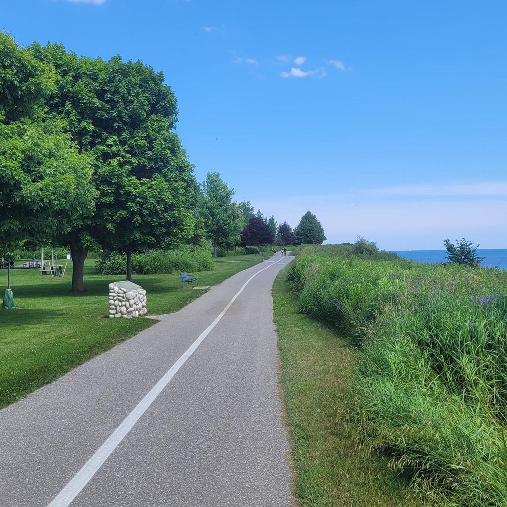
Following the Lake Ontario shoreline, the Whitby section of the Waterfront Trail offers long, easy walking and cycling routes with steady lake views, breezy open stretches, and access to several parks and marina areas. The path is mostly paved and flat, running past Lynde Shores, Whitby Harbour, Iroquois Beach, and the waterfront promenade, with plenty of spots to stop for views of the lake. Boardwalk sections, shaded pockets, and signed wayfinding make it simple to follow, and it connects seamlessly to the rest of the Great Lakes Waterfront Trail. A scenic, reliable lakeside route ideal for relaxed rides, long walks, or sunrise outings by the water.
0
0
Frequently Asked Questions
How many hiking trails are available around Whitby?
Komoot offers a wide selection of routes for hiking around Whitby. Currently, there are over 40 routes available, catering to various skill levels from easy strolls to more challenging moderate hikes.
What types of landscapes can I expect to see on hikes near Whitby?
Hiking around Whitby offers incredibly diverse landscapes. You'll find dramatic coastal scenery with rugged cliffs and expansive beaches, tranquil riverside paths along the River Esk, ancient woodlands like Mulgrave Woods and Sneaton Forest, and the vast heather moorland of the North York Moors National Park.
Are there any family-friendly walks in the Whitby area?
Yes, Whitby has many options suitable for families. The region offers numerous easy trails, particularly within woodlands like Dalby Forest, which has 13 set walking trails for all abilities, including accessible routes. Coastal paths also provide accessible sections for leisurely family strolls.
Can I find circular walks around Whitby?
Yes, the Whitby area is well-suited for circular walks. Many trails are designed as loops, allowing you to start and finish at the same point. For example, you can explore picturesque loops through woodlands or combine coastal sections with inland paths for a varied circular experience.
Are there any hikes that feature waterfalls near Whitby?
Absolutely! One notable natural feature is the impressive Falling Foss waterfall in Sneaton Forest, a 70-foot cascade. Hikes through Sneaton Forest can lead you to this beautiful spot, often combined with a visit to the historic Hermitage carved from a large boulder.
What are some popular coastal walks near Whitby?
The coastline around Whitby is a major draw for hikers. Sections of the long-distance Cleveland Way and the King Charles III Coastal Path offer magnificent views out to sea. Popular options include walks connecting Whitby with picturesque villages like Robin Hood's Bay, or easier strolls along Sandsend Beach.
Are there good options for inland woodland walks?
Beyond the coast, Whitby is surrounded by enchanting woodlands. Dalby Forest, Mulgrave Woods, and Sneaton Forest all offer a variety of trails. You can find picturesque walks in areas like Egton and Glaisdale, which are particularly beautiful with bluebells in spring and feature historic sites like Beggar's Bridge.
What do other hikers say about the trails in Whitby?
The hiking trails around Whitby are highly rated by the komoot community, with an average score of 4.7 stars from over 30 reviews. Hikers often praise the stunning coastal views, the tranquility of the woodland paths, and the diverse natural beauty where the moors meet the sea.
Are there any historical landmarks or attractions to see while hiking?
Yes, the region is rich in history. The iconic Whitby Abbey, perched on the East Cliff, is a prominent landmark that can be incorporated into many walks, offering historical interest and commanding views. Mulgrave Woods also contains the ruins of Mulgrave Castle, providing panoramic views of the valley.
What is the best time of year to go hiking in Whitby?
Whitby offers great hiking opportunities year-round, but each season has its charm. Spring brings vibrant bluebells to the woodlands, summer provides pleasant weather for coastal walks, and autumn showcases beautiful foliage in the forests. Even winter walks can be rewarding, with dramatic coastal scenes, though conditions can be more challenging.
Are there any long-distance trails accessible from Whitby?
Yes, Whitby is a key point on the Cleveland Way, a renowned long-distance national trail. This trail offers spectacular coastal path sections with breathtaking views. The King Charles III Coastal Path also provides further opportunities to explore the dramatic coastal landscapes.
Where can I find more information about the natural beauty of the Whitby area?
The Whitby area is part of the North Yorkshire and Cleveland Heritage Coast and borders the North York Moors National Park. For more details on the diverse landscapes and natural features, you can visit Wikipedia's page on Whitby, which provides an overview of its geography and natural attractions.
Most popular attractions around Whitby

Get inspired with the komoot mobile app


Explore more
Browse the best Hikes in other regions.
