The best road cycling routes around Adjala-Tosorontio
99
riders
9
rides
Road cycling routes around Adjala-Tosorontio traverse a picturesque rural setting characterized by the rolling hills of the Niagara Escarpment. The region offers diverse terrain, including both paved and gravel roads, providing varied topography for cyclists. Hilly sections present a challenging experience, while views of farmlands contribute to a tranquil environment.
Best road cycling routes around Adjala-Tosorontio
- The most popular road cycling route is Fairgrounds Road – Pretty River Valley loop from Creemore, a 60.1 miles (96.7 km) trail that…
Last updated: July 25, 2026
32
riders
96.7km
04:13
770m
770m
Moderate road ride. Good fitness required. Mostly well-paved surfaces and easy to ride.
31
riders
Moderate road ride. Good fitness required. Some segments of this route may be unpaved and difficult to ride.

Sign up for free
25
riders
36.1km
01:33
250m
250m
Easy road ride. Great for any fitness level. Mostly well-paved surfaces and easy to ride.
5
riders
43.2km
01:59
430m
430m
Moderate road ride. Good fitness required. Some segments of this route may be unpaved and difficult to ride.
4
riders
Moderate road ride. Good fitness required. Mostly well-paved surfaces and easy to ride.
Get access to more routes and recommendations from other explorers.
Sign up for free
Already have an account?
Our route recommendations are based on thousands of hikes, rides, and runs completed by other people on komoot.
Start today with a free account
Your next adventure awaits.
Login or Signup
Tips from the Community

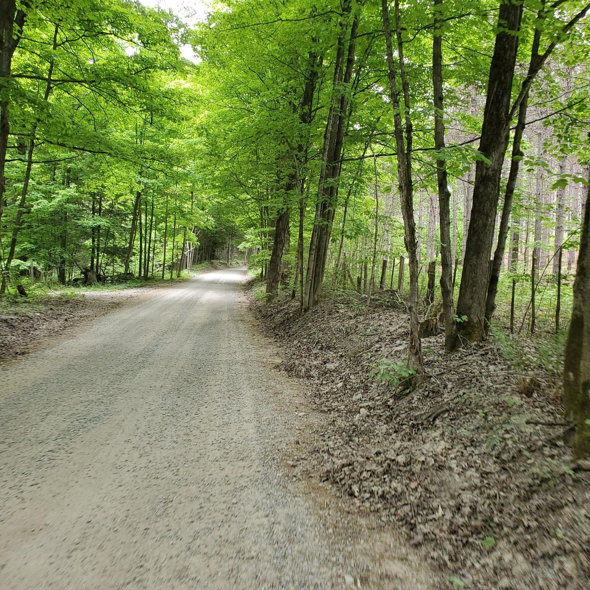
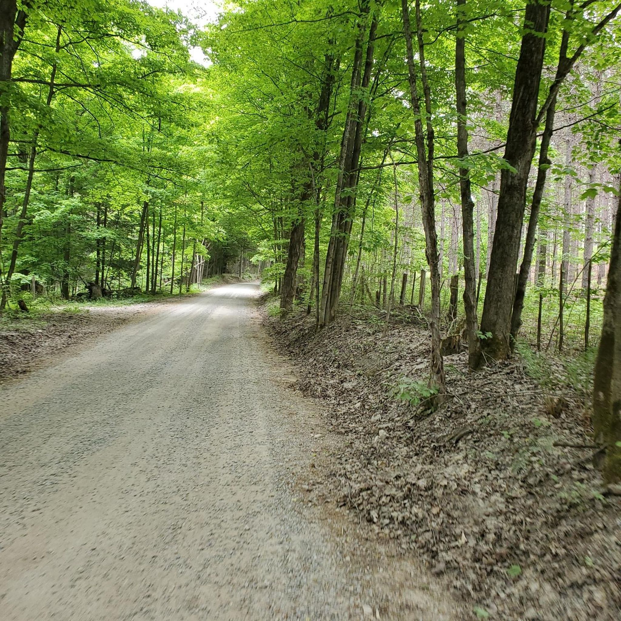
Drive slowly down Pretty River Road, as this dirt pullout has no big signage and is easy to pass. There's room for a few cars here, and trailhead access that is a bit quieter than the main parking area at the Pretty River Snowmobile Parking Lot just 400 meters north of here.
0
0

This trail is named for the park it borders, not for the actual views, as they're much better from the other side of the park. Still, this pathway makes for pleasant walking and forms part of a walkable loop that goes all the way around Optimist Harbourview Park.
0
0
This park is a beautiful mix of urban wetlands and woodlands, boardwalk, natural-surface tracks, and a touch of industrial harbour scenery.
0
0
This path takes you past the wetlands on the fringe of Collingwood Harbour. It's part of an almost 4km loop you can walk around Optimist Harbourview Park.
0
0

Humber Grove is tucked along the Humber River where only traces of its past still linger. Walking the area today, you’ll find little more than old foundations, scattered stones, and subtle changes in the landscape. Look closely and you'll find clues to a small riverside community that once stood here before being abandoned and reclaimed by the forest.
0
0

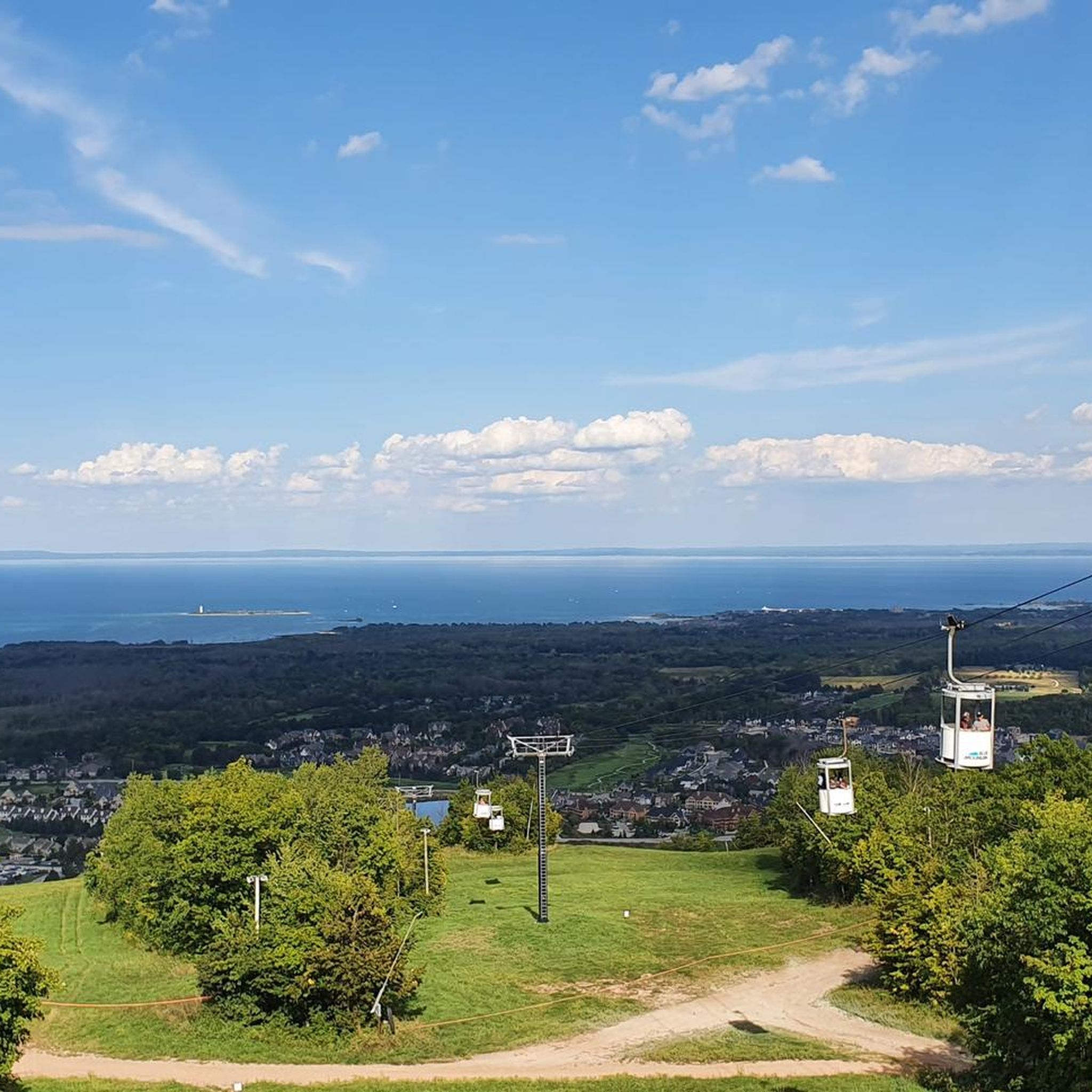
Stunning road to ride with panoramic views in all directions. Head south and climb, or ride it north and enjoy the pedal free descent. Normally part of the Creemore Coffee loop, it’s a great place to stop before or after.
0
0
Great place to stop for an aprés beer. Incredible facility. Well worth the stop.
0
0
The Grey Highlands Zero Emission People project is a 10 megawatt (MW) wind energy project located in the community of McIntyre. In April 2010, the project was awarded a 20-year term power purchase agreement by the IESO under the Feed-in Tariff (FIT) program. The project consists of 5 Senvion (formerly named REpower) MM92 wind turbines, with a rated capacity of 2.0 MW.
2
0
Frequently Asked Questions
How many road cycling routes are available in Adjala-Tosorontio?
Adjala-Tosorontio offers 9 distinct road cycling routes on komoot, catering to various skill levels. These routes traverse a picturesque rural setting with diverse terrain.
What kind of terrain can I expect on road cycling routes in Adjala-Tosorontio?
You can expect a mix of terrain, primarily characterized by the scenic rolling hills of the Niagara Escarpment. The region features both paved and some gravel roads, offering varied topography and challenging hilly sections, alongside tranquil views of farmlands.
Are there any easy road cycling routes suitable for beginners or families?
Yes, there is one easy road cycling route available. The Fairgrounds Road loop from Creemore is a 36.0 km trail that leads through rural farmlands and can be completed in about 1 hour 31 minutes, making it a good option for a more relaxed ride.
Where can I find challenging road cycling routes with significant elevation gain?
For a more challenging experience, consider routes that feature significant elevation. The Fairgrounds Road – Pretty River Valley loop from Creemore is a moderate 96.7 km route with over 760 meters of elevation gain, taking approximately 4 hours 10 minutes to complete through rural landscapes.
What are some scenic landmarks or points of interest along the cycling routes?
While cycling, you can enjoy the picturesque rural setting and views of farmlands. Nearby attractions include the Hockley Valley Lookout for scenic vistas and the charming Creemore Village, known for its cyclist-friendly atmosphere. You might also encounter local farms and businesses like Sheldon Creek Dairy.
Are there any cycling routes that pass through or near cyclist-friendly villages or towns?
Absolutely. Many routes are accessible from or pass near Creemore Village, which is highly regarded as a cyclist-friendly destination. It offers cafes, patios, restaurants, and bike racks, making it an ideal stop to rest and refuel. The Fairgrounds Road – Pretty River Valley loop and the Fairgrounds Road loop both start from Creemore.
Where can cyclists find places to eat or grab a coffee along their ride?
Creemore Village is an excellent stop for cyclists, offering various cafes, patios, and restaurants. Additionally, the historic Hockley General Store is a community favorite for lunch, coffee, and locally made treats, providing another great option for a break during your ride.
What is the best time of year for road cycling in Adjala-Tosorontio?
The region is generally enjoyable for road cycling during the warmer months, from late spring through early autumn. This period offers pleasant weather conditions to fully appreciate the rolling hills and rural landscapes. Always check local weather forecasts before heading out.
Are there any loop routes available for road cycling?
Yes, many of the road cycling routes in Adjala-Tosorontio are designed as loops. Examples include the popular Fairgrounds Road – Pretty River Valley loop from Creemore and the shorter Fairgrounds Road loop from Creemore, offering convenient starting and ending points.
What do other road cyclists enjoy most about cycling in Adjala-Tosorontio?
Road cyclists frequently appreciate the region's blend of challenging rolling hills and tranquil rural scenery. The diverse terrain, including sections of the Niagara Escarpment, provides a rewarding experience, while the charming, cyclist-friendly villages like Creemore offer perfect spots for breaks.
Are there any routes that offer views of the surrounding countryside?
Many routes provide expansive views of the surrounding countryside and farmlands. For instance, the Sunset Point Park – Side Launch Brewing Company loop from Mair Mills Community Park is a moderate 93.9 km path that offers scenic views throughout its duration.
Can I find routes that explore different parts of the region, such as near Dufferin County Forest?
Yes, you can explore various areas. The Roadbike loop from Dufferin County Forest- Main Tract is a moderate 43.1 km route with over 400 meters of elevation gain, providing an opportunity to cycle near this natural area.
Most popular routes around Adjala-Tosorontio
Most popular attractions around Adjala-Tosorontio

Get inspired with the komoot mobile app


Explore more
Browse the best Road cycling routes in other regions.
