The best walks and hikes around Okanagan-Similkameen D
4.6
(45)
429
hikers
20
hikes
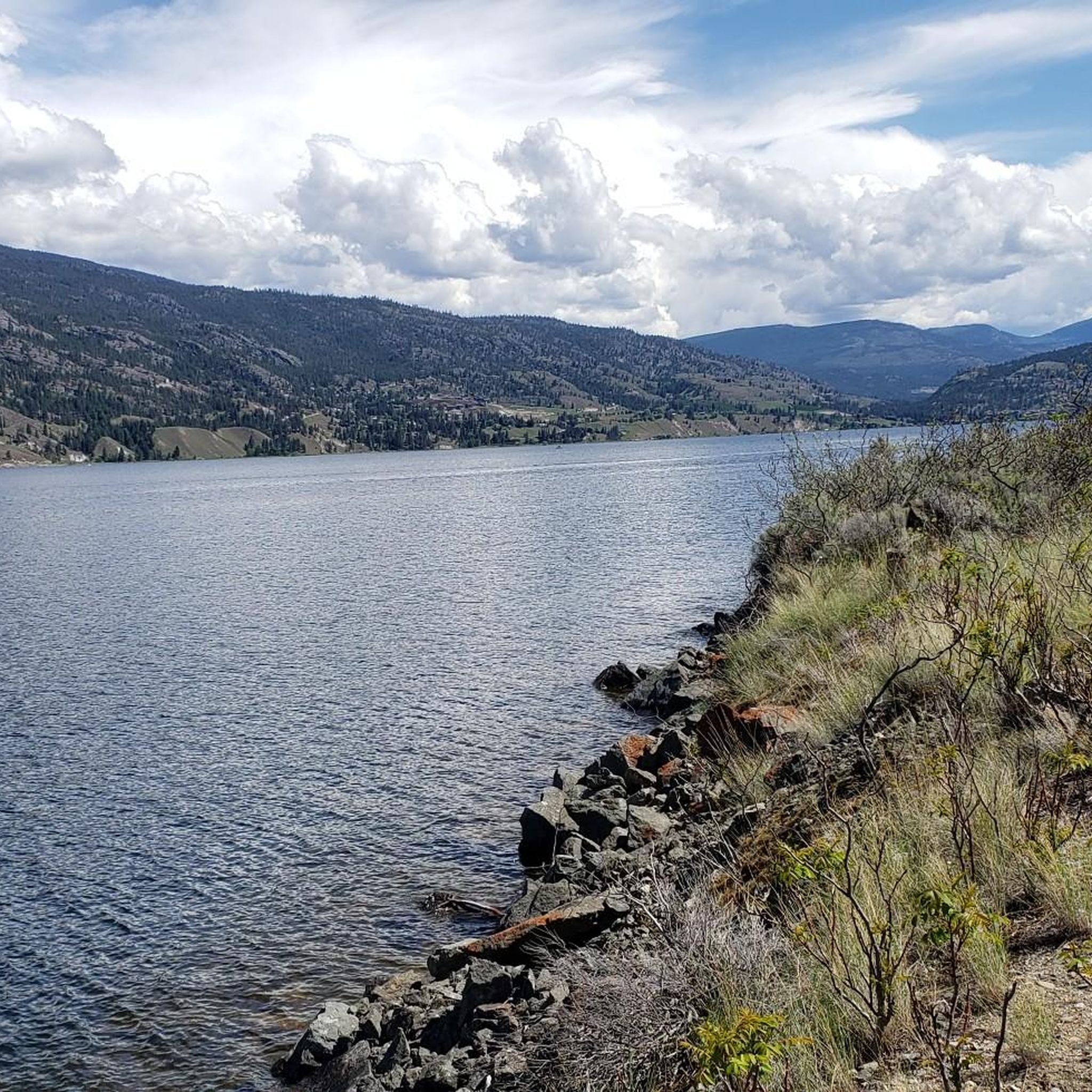
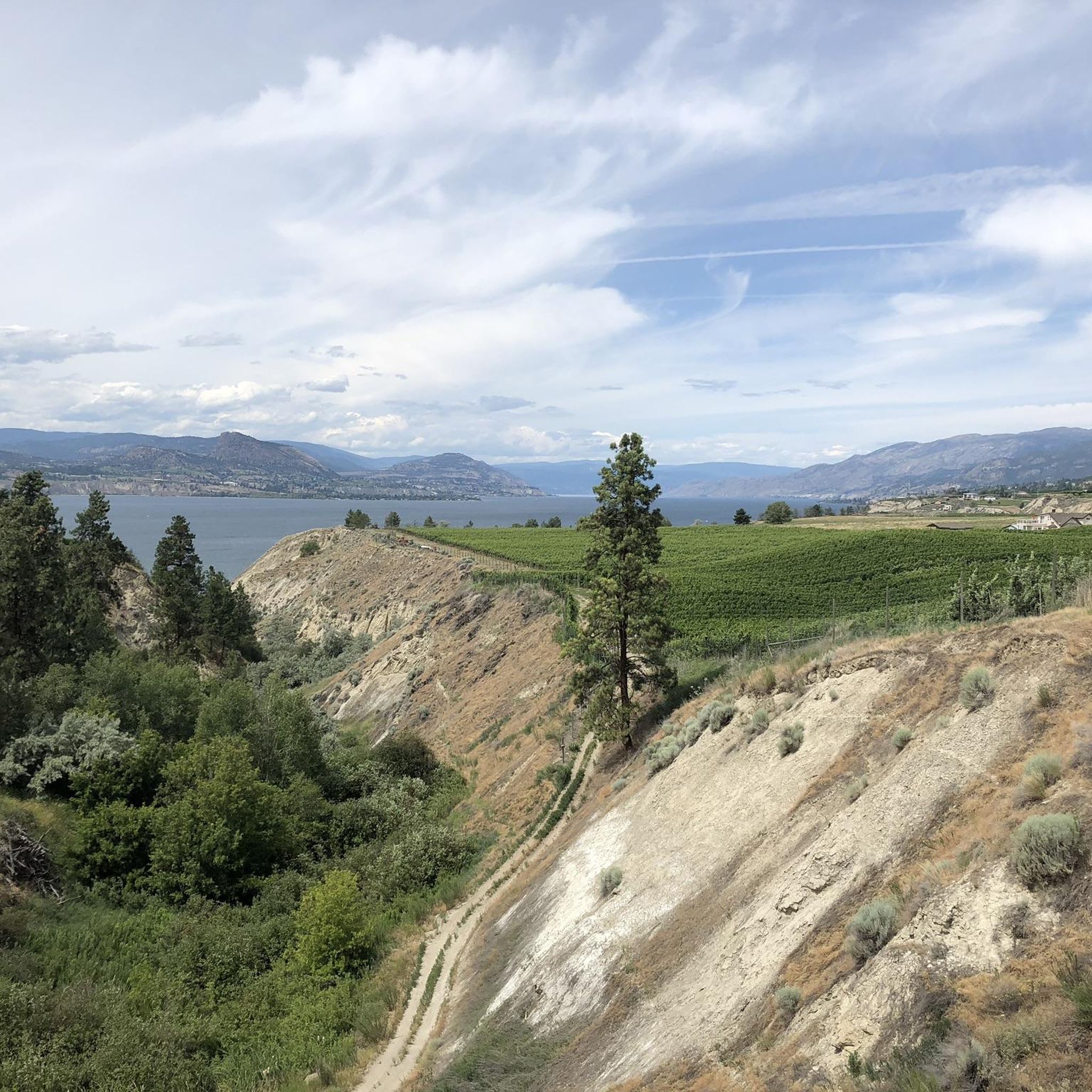
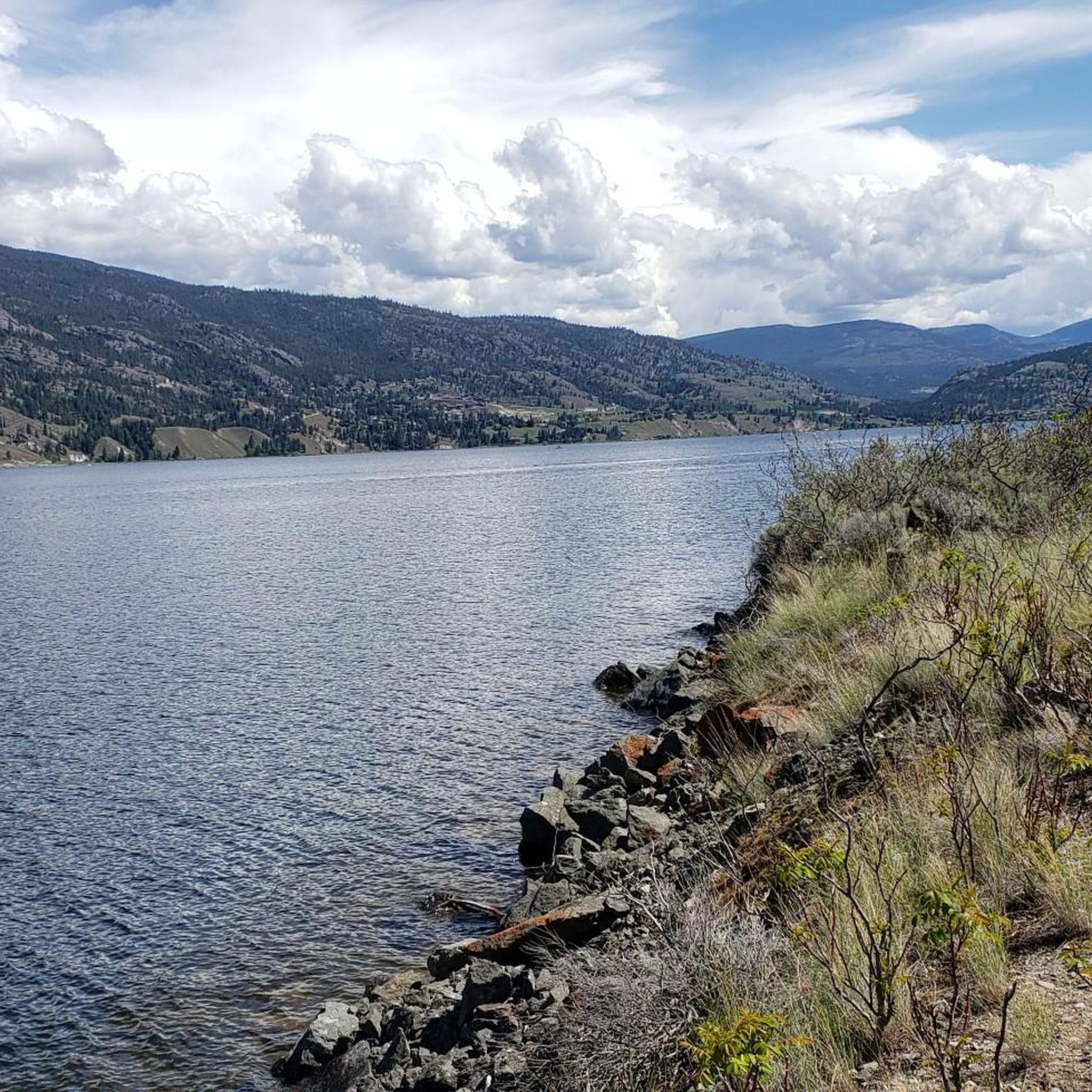
Hiking around Okanagan-Similkameen D offers diverse landscapes, from semi-arid environments to lush lakeside areas and mountainous terrain. The region is characterized by unique ecosystems, including grasslands and open ponderosa pine forests at lower elevations. Prominent features include the trachyte rock formations of Peach Cliff and the volcanic rocks of Indian Head. Access to Skaha Lake and Vaseux Lake provides varied natural settings for outdoor activities.
Best hiking trails around Okanagan-Similkameen D
- The most popular hiking route is Peach Cliff Trail…
Last updated: October 26, 2026
4.0
(1)
12
hikers
4.04km
01:14
140m
140m
Easy hike. Easily walkable paths.
11
hikers
7.69km
02:18
250m
250m
Moderate hike. Good fitness required. Easily walkable paths.

7
hikers
6.21km
01:53
200m
200m
Easy hike. Easily walkable paths.
7
hikers
10.3km
03:35
520m
520m
Moderate hike. Good fitness required. Easily walkable paths.
5
hikers
6.73km
01:52
130m
120m
Easy hike. Easily walkable paths.
Get access to more routes and recommendations from other explorers.
Already have an account?
Our route recommendations are based on thousands of hikes, rides, and runs completed by other people on komoot.
Start today with a free account
Your next adventure awaits.

Tips from the Community

Sufferin to DQ is a classic Campbell Mountain connector with a name that tells you exactly what to expect: a steady climb with a little bite. The trail works its way up through dry hillside and singletrack toward the old DQ table, where the views give your legs a reason to forgive you.
0
0
The Whoop! Trail brings a playful twist to Campbell Mountain, following a fast, flowy singletrack once called “Whoop-dee-doo.” It’s a lively tree-covered hillside section, but stay sharp on corners: this is a popular mountain bike trail too.
0
0

There is access to a network of trails with parking and a gate on the west side of McLean Creek Road. To the west, the trail connects to Peach Cliff, and to the north, this trail connects to a larger network of unmarked trails with some incline that are also frequently used as ATV tracks. You can do a loop to Peach Cliff and enjoy some less-trafficked scenery from here, but be sure to use the komoot map, since it's easy to get turned around in this area.
0
0

You can approach Mount Keogan either from the Dogtown Trail or the Go East Old Man Trail. This is the less well-trodden, though it's a good option if you were wanting to create a loop on the mountain.
0
0
Rising to around 910 meters (2,985 ft) above British Columbia's Okanagan Valley, Mount Keogan is a fine hiking objective. It's most often ascended from Green Lake Road via the Dogtown Trail and all the trail junctions are signposted. To the south of the summit is a fine viewpoint towards Oliver. It's possible to complete a loop by descending either the quieter Go East Old Man Trail or the longer 5 Lakes Lookout Trail. The latter is mostly through woodland and misses out on the lake views.
0
0
This viewpoint to the south of Mount Keogan's summit provides vast views towards Oliver and Tugulnuit Lake. This point can be reached via the Dogtown Trail, which begins on Green Lake Road. There's no official parking but there's space to pull over on the side of the road.
0
0

Located just above the city, the G-Spot loop is a moderately challenging, 8-kilometer loop that takes roughly two and a half hours to complete. The trail hits you with dozens of tight, dusty switchbacks that will definitely test your legs.
0
0
A fun and unique feature to look out for is the collection of hand-painted rocks marked with a "G" that locals have left behind to help keep you on the right track.
0
0
Frequently Asked Questions
How many hiking trails are available in Okanagan-Similkameen D?
There are around 15 hiking routes in Okanagan-Similkameen D, offering a mix of easy and moderate options. These trails explore the region's unique semi-arid landscapes, lush lakeside areas, and mountainous terrain.
What kind of views can I expect on hikes in Okanagan-Similkameen D?
Hikers can expect diverse and expansive views. Trails often provide vistas of Vaseux Lake, Skaha Lake, and the surrounding valley, particularly from elevated points like Peach Cliff. You'll also encounter unique semi-arid landscapes, grasslands, and ponderosa pine forests. For specific lake and valley views, consider the Lake and Valley Viewpoint loop from Skaha Bluffs Provincial Park.
Are there any family-friendly hiking options in Okanagan-Similkameen D?
Yes, the region offers several easy trails suitable for families. The Kettle Valley Railway (KVR) Trail, for instance, has a flat, gravel section running 13 km along Skaha Lake from Okanagan Falls to Penticton, which is ideal for easy walks. Additionally, the Peach Cliff Trail is rated as easy and offers engaging views.
Can I find circular hiking routes in Okanagan-Similkameen D?
Yes, there are several circular routes available. For example, the Lake and Valley Viewpoint loop from Skaha Bluffs Provincial Park is a moderate loop that provides extensive views. Another option is the Alice the Dinosaur – Abandoned Rail Brewing Co. loop from Uplands, which takes you through varied local terrain.
What are some interesting natural landmarks or attractions to see while hiking?
The region is rich in natural features. You can explore the prominent trachyte rock formations of Peach Cliff, or the unique dark volcanic rocks of Indian Head. The area also offers access to the southern end of Skaha Lake and Vaseux Lake. For specific points of interest, consider visiting Giants Head Summit or enjoying the views of Okanagan Lake.
What is the best time of year to go hiking in Okanagan-Similkameen D?
Okanagan-Similkameen D experiences hot summers and mild winters due to its semi-arid climate. Spring and fall are generally ideal for hiking, offering pleasant temperatures and vibrant scenery. Summers can be very warm, so early morning or late afternoon hikes are recommended during peak season.
Are there opportunities for wildlife spotting on the trails?
Absolutely. The region is a biodiversity hotspot, home to many endangered species. Peach Cliff is known for herds of mule deer and California bighorn sheep. Vaseux Lake Wildlife Centre offers an easy boardwalk stroll and a bird observation platform, perfect for spotting various bird species. The unique ecosystems, including grasslands and ponderosa pine forests, support a diverse array of plant and animal life.
What do other hikers say about the trails in Okanagan-Similkameen D?
The routes in Okanagan-Similkameen D are highly rated by the komoot community, with an average score of 4.6 stars from over 20 reviews. Hikers often praise the diverse landscapes, from semi-arid environments to beautiful lake views, and the well-maintained trails that cater to various skill levels.
Are there any trails that pass through vineyards or offer access to wineries?
Yes, the hiking experience in Okanagan-Similkameen D often intertwines with its agricultural landscape. Trails frequently pass through orchards and vineyards, offering scenic vistas and opportunities to visit local wineries. The Kettle Valley Railway (KVR) Trail, in particular, traverses vineyards and orchards.
Are there any easy walks near Okanagan Lake?
Yes, you can find easy walks near Okanagan Lake. The Okanagan Lake Park – Veterans Memorial Park loop from Penticton is an easy route that offers lakeside access and views. The KVR Trail also provides flat sections along Skaha Lake, which is connected to Okanagan Lake.
What are the typical trail conditions in Okanagan-Similkameen D?
Trail conditions vary with the landscape. Many trails feature gravel paths, especially sections of the Kettle Valley Railway. Other routes traverse natural terrain, including semi-arid grasslands and forested areas. Given the semi-arid climate, trails are generally dry, but conditions can change with weather. Always wear appropriate footwear for varied surfaces.
Are there any trails suitable for a longer, moderate hike?
For a longer, moderate hike, consider the Abandoned Rail Brewing Co. – Okanagan Lake Park loop from Munson Mountain Park. This route covers over 10 km and offers a good challenge with varied scenery, including views of Okanagan Lake.
Most popular routes around Okanagan-Similkameen D
Most popular attractions around Okanagan-Similkameen D

Get inspired with the komoot mobile app


Explore more
Browse the best Hikes in other regions.
