The best cycling routes around Area A (Osoyoos Lake)
4.5
(16)
148
riders
8
rides
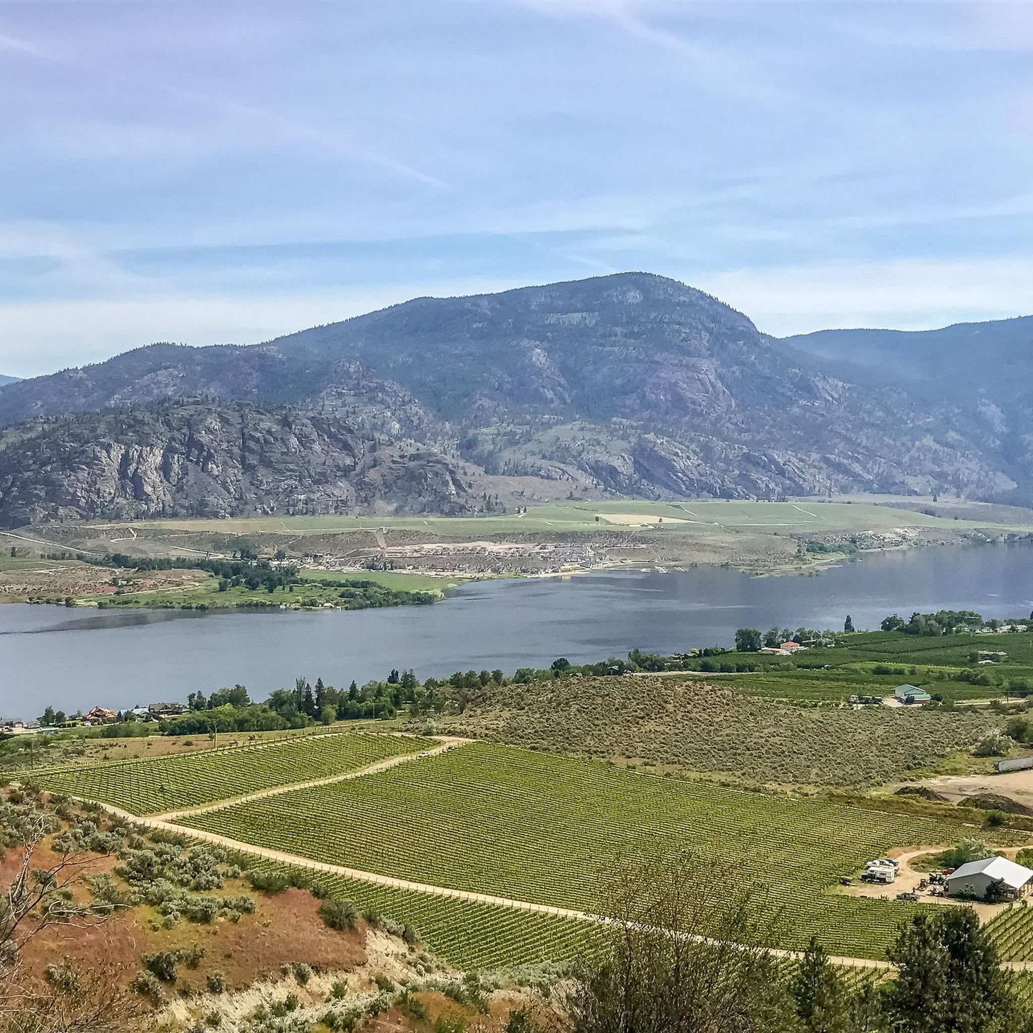
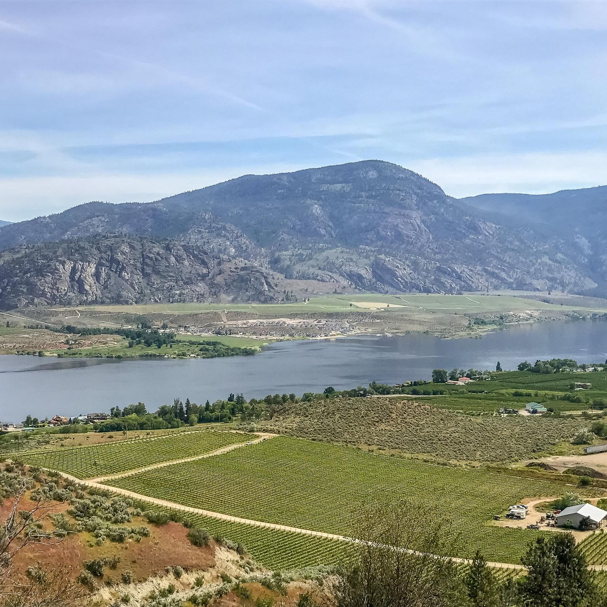
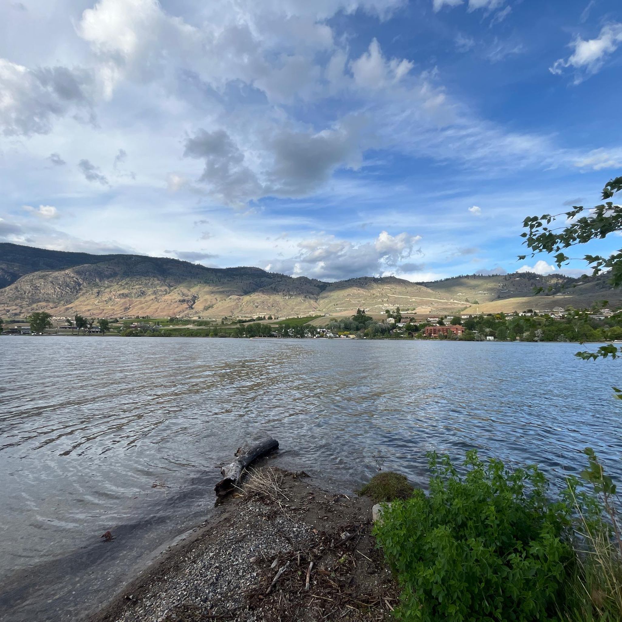
Touring cycling around Area A (Osoyoos Lake) is characterized by a warm, dry, semi-arid climate with abundant sunshine. The region features diverse terrain, including the tranquil waters of Osoyoos Lake, rugged desert landscapes, rolling hills, and surrounding mountains. Lush vineyards and orchards also define the area, providing varied scenery for touring cyclists. The elevation changes are generally moderate, with some routes offering more significant climbs.
Best touring cycling routes around Area A (Osoyoos Lake)
- The most popular touring cycling route is Skaha Lake Trestle – Kenyon Park and Beach loop from Silver Sage Winery, a 37.6 miles (60.6 km) trail that takes 3 hours 48 minutes to complete. This difficult route features an elevation gain of over 570 meters.
- Another top favourite among local touring cyclists is Osoyoos Visitor Centre – Osoyoos loop from Osoyoos, a moderate 30.6 miles (49.3 km) path. This route offers varied terrain with an elevation gain of nearly 300 meters.
- Local touring cyclists also love the Osoyoos Visitor Centre – Osoyoos loop from Osoyoos Lake, a 9.9 miles (16.0 km) trail leading through the lake area, often completed in about 1 hour.
- Touring cycling around Area A (Osoyoos Lake) is defined by lake views, desert landscapes, and vineyard paths. The network offers options for different ability levels, from easy loops to more challenging routes with significant elevation.
- The routes in Area A (Osoyoos Lake) are highly rated by the komoot community with an average score of 4.7 stars from over 10 reviews. More than 140 touring cyclists have used komoot to explore Area A (Osoyoos Lake)'s varied terrain.
Last updated: September 29, 2026
4.0
(4)
18
riders
Hard bike ride. Very good fitness required. Mostly paved surfaces. Suitable for all skill levels.
18
riders
49.5km
02:57
300m
300m
Moderate bike ride. Good fitness required. Mostly paved surfaces. Suitable for all skill levels.

4.3
(3)
10
riders
16.0km
01:00
90m
90m
Easy bike ride. Great for any fitness level. Mostly paved surfaces. Suitable for all skill levels.
9
riders
32.1km
02:06
270m
270m
Moderate bike ride. Good fitness required. Mostly paved surfaces. Suitable for all skill levels.
8
riders
10.7km
00:37
30m
30m
Easy bike ride. Great for any fitness level. Mostly paved surfaces. Suitable for all skill levels.
Get access to more routes and recommendations from other explorers.
Already have an account?
Our route recommendations are based on thousands of hikes, rides, and runs completed by other people on komoot.
Start today with a free account
Your next adventure awaits.
Popular around Area A (Osoyoos Lake)
Tips from the Community

This former gold mining community is now gone but interpretive signage tells the story.
0
0

Trestle combo fishing bridge across an arm of Skaha Lake on the KVR.
0
0


Osoyoos is an ideal place for those who enjoy warm weather, good wine, MTB descents and nature.
3
0
One of the best areas to practice MTB in Osoyoos is Mount Kobau. This area offers trails of varying levels of difficulty, from gentle routes to technical descents. The terrain is a mix of sandy and rocky soils, perfect for bikers looking for a challenge.
3
0

A short but beautiful path to an observation tower
0
0
Visitor center with lots of information
0
0
Be sure to book a great campsite early and it is always well occupied
0
0
Frequently Asked Questions
How many touring cycling routes are available in Area A (Osoyoos Lake)?
There are 8 touring cycling routes available in Area A (Osoyoos Lake), offering a variety of experiences for different skill levels. These routes are highly rated by the komoot community, with an average score of 4.7 stars.
What kind of terrain can I expect on touring cycling routes in Area A (Osoyoos Lake)?
The terrain around Osoyoos Lake is quite diverse. You'll encounter everything from tranquil lake shores and lush vineyards to rugged desert landscapes and rolling hills. Many routes feature both paved and gravel sections, with elevation changes ranging from flat, easy rides to more significant climbs in the surrounding mountains.
What is the best time of year for touring cycling around Osoyoos Lake?
Osoyoos boasts a warm, dry, semi-arid climate with abundant sunshine, making it ideal for outdoor pursuits for much of the year. Spring and fall offer pleasant temperatures for cycling. Summers can be hot, with lake temperatures averaging around 24°C (75°F) in July and August, which is great for combining cycling with swimming.
Are there any easy touring cycling routes suitable for beginners or families?
Yes, Area A (Osoyoos Lake) offers 3 easy touring cycling routes perfect for beginners or families. A great option is the Osoyoos Visitor Centre – Osoyoos loop from Osoyoos Lake, which is about 16 km (9.9 miles) and generally takes around an hour to complete. The Osoyoos – Osoyoos Lake Park Beach loop from Osoyoos is another easy, flat ride, offering scenic views and access to the lake.
Can I find longer, more challenging touring cycling routes in the Osoyoos Lake area?
Absolutely. For those seeking a challenge, there is 1 difficult route and 4 moderate routes. The most challenging touring cycling route is the Skaha Lake Trestle – Kenyon Park and Beach loop from Silver Sage Winery, a 60.6 km (37.6 miles) trail with over 570 meters of elevation gain. A popular moderate option is the Osoyoos Visitor Centre – Osoyoos loop from Osoyoos, covering 49.3 km (30.6 miles) with nearly 300 meters of elevation.
Are there any circular touring cycling routes around Osoyoos Lake?
Yes, many of the touring cycling routes in the area are designed as loops, allowing you to start and end at the same point. Examples include the Osoyoos Visitor Centre – Osoyoos loop from Osoyoos Lake and the Burrowing Owl Winery loop from South Okanagan Wildlife Management Area, which offers a moderate 32 km ride through wine country.
What natural features or landmarks can I see while cycling around Osoyoos Lake?
The region is rich in natural beauty and unique landmarks. You can cycle past the tranquil waters of Osoyoos Lake, Canada's warmest freshwater lake, and explore areas like the Osoyoos Desert Centre, which offers insights into Canada's only desert environment. Don't miss the unique Spotted Lake, a mineral-rich lake sacred to the Syilx people, which reveals colorful mineral pools in warmer months. You might also pass through the South Okanaghan Grasslands.
Are there opportunities for wild swimming along the touring cycling routes?
Yes, Osoyoos Lake itself is a central feature, providing excellent opportunities for swimming. The lake's shoreline includes public beaches and parks, such as Osoyoos Lake Regional Park and sw̓iw̓s (Haynes Point) Provincial Park, offering sandy shores and shaded areas perfect for a refreshing dip during your ride.
What do other touring cyclists enjoy the most about touring cycling in Area A (Osoyoos Lake)?
The routes in Area A (Osoyoos Lake) are highly rated by the komoot community, with an average score of 4.7 stars from over 10 reviews. Reviewers often praise the stunning lake views, diverse desert landscapes, and picturesque vineyard paths. Many appreciate the variety of options available, from easy loops to more challenging routes with significant elevation, catering to all ability levels.
Are there any touring cycling routes that pass by wineries or offer scenic views of vineyards?
Yes, the region is renowned for its vineyards and orchards. Many routes, such as the Burrowing Owl Winery loop from South Okanagan Wildlife Management Area, pass directly through wine country, offering stunning views of the vineyards. The International Hike and Bike Trail also follows the Okanagan River Channel through vineyards and farms, providing opportunities for 'wine touring by bike' experiences.
Where can I find parking or trailheads for touring cycling routes in Area A (Osoyoos Lake)?
Many routes originate from central points like the Osoyoos Visitor Centre or areas around Osoyoos Lake, where parking is generally available. Public parks and specific wineries often serve as convenient starting points with parking facilities. It's always a good idea to check the specific route details on komoot for precise trailhead locations and parking information.
Are there specific routes that are particularly scenic or offer great viewpoints?
The entire Osoyoos Lake area is incredibly scenic. Routes like the Osoyoos Lake Trail offer panoramic views of the lake. The Golden Mile Trail, running from Osoyoos to Oliver, provides stunning views of vineyards and historical sites. For more challenging rides, the Kruger Mountain Trails offer spectacular views of Osoyoos Lake and the surrounding valleys.
Most popular routes around Area A (Osoyoos Lake)
Most popular attractions around Area A (Osoyoos Lake)

Get inspired with the komoot mobile app


Explore more
Browse the best Cycling routes in other regions.
