The best walks and hikes around Area E (Eagle River Valley)
4.5
(83)
551
hikers
15
hikes
Hiking around Area E (Eagle River Valley) offers a diverse landscape characterized by glacial river valleys, mountain ranges, and alpine lakes. The region features a mix of coniferous forests, deciduous trees, and varied terrain, providing a range of outdoor experiences. This area is known for its pristine natural features and abundant wildlife.
Best hiking trails around Area E (Eagle River Valley)
- The most popular hiking route is Margaret Falls loop — Herald Provincial Park, a 3.2 miles (5.2 km)…
Last updated: August 12, 2026
4.9
(8)
42
hikers
5.18km
01:42
230m
220m
Easy hike. Great for any fitness level. Easily-accessible paths. Suitable for all skill levels.
5.0
(3)
14
hikers
2.15km
00:46
130m
120m
Easy hike. Great for any fitness level. Easily-accessible paths. Suitable for all skill levels.

Sign up for free
11
hikers
3.65km
01:04
100m
100m
Easy hike. Great for any fitness level. Easily-accessible paths. Suitable for all skill levels.
5.0
(2)
6
hikers
926m
00:20
60m
60m
Easy hike. Great for any fitness level. Easily-accessible paths. Suitable for all skill levels.
5.0
(1)
3
hikers
7.62km
03:36
790m
790m
Moderate hike. Good fitness required. Easily-accessible paths. Suitable for all skill levels.
Get access to more routes and recommendations from other explorers.
Sign up for free
Already have an account?
Our route recommendations are based on thousands of hikes, rides, and runs completed by other people on komoot.
Start today with a free account
Your next adventure awaits.
Login or Signup
Popular around Area E (Eagle River Valley)
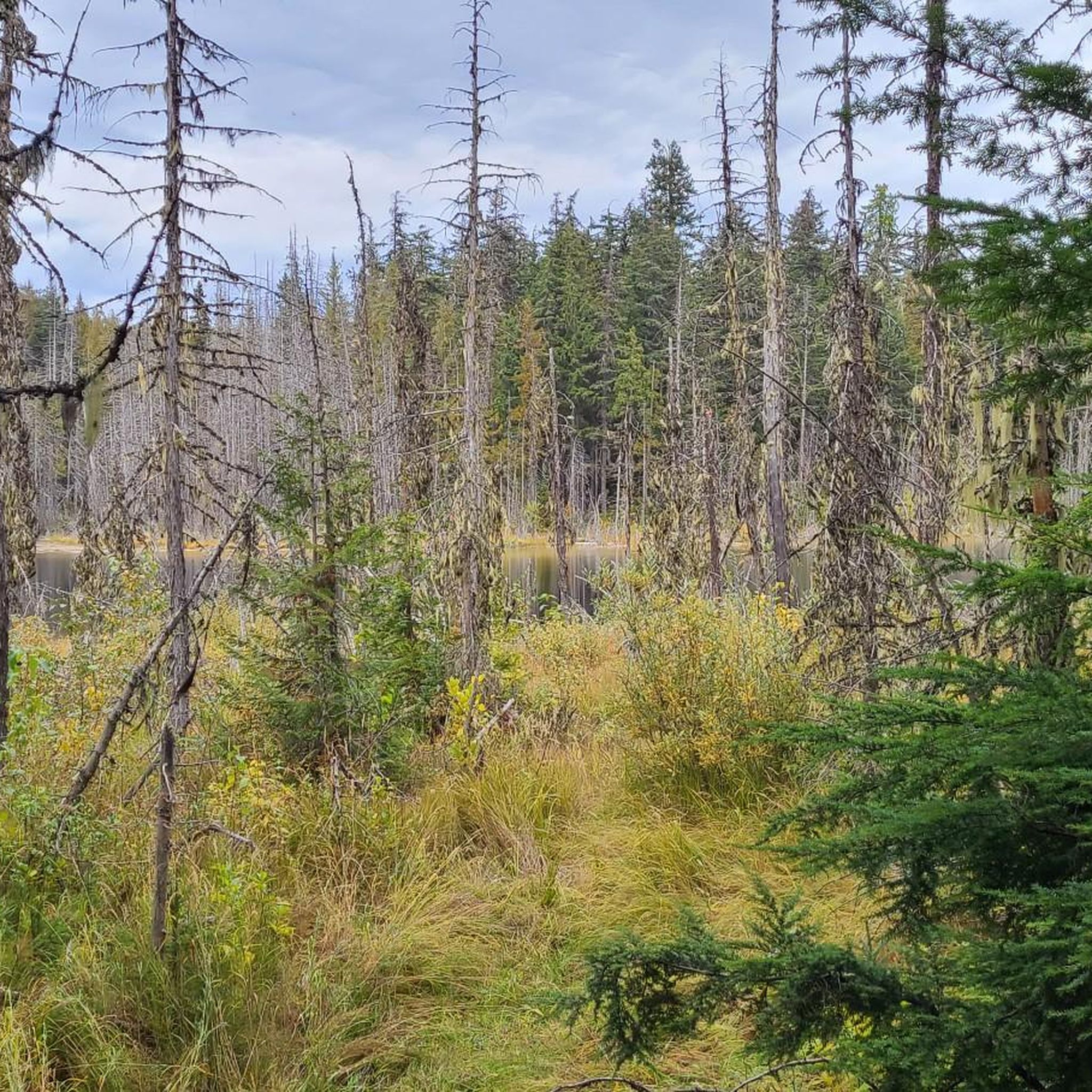
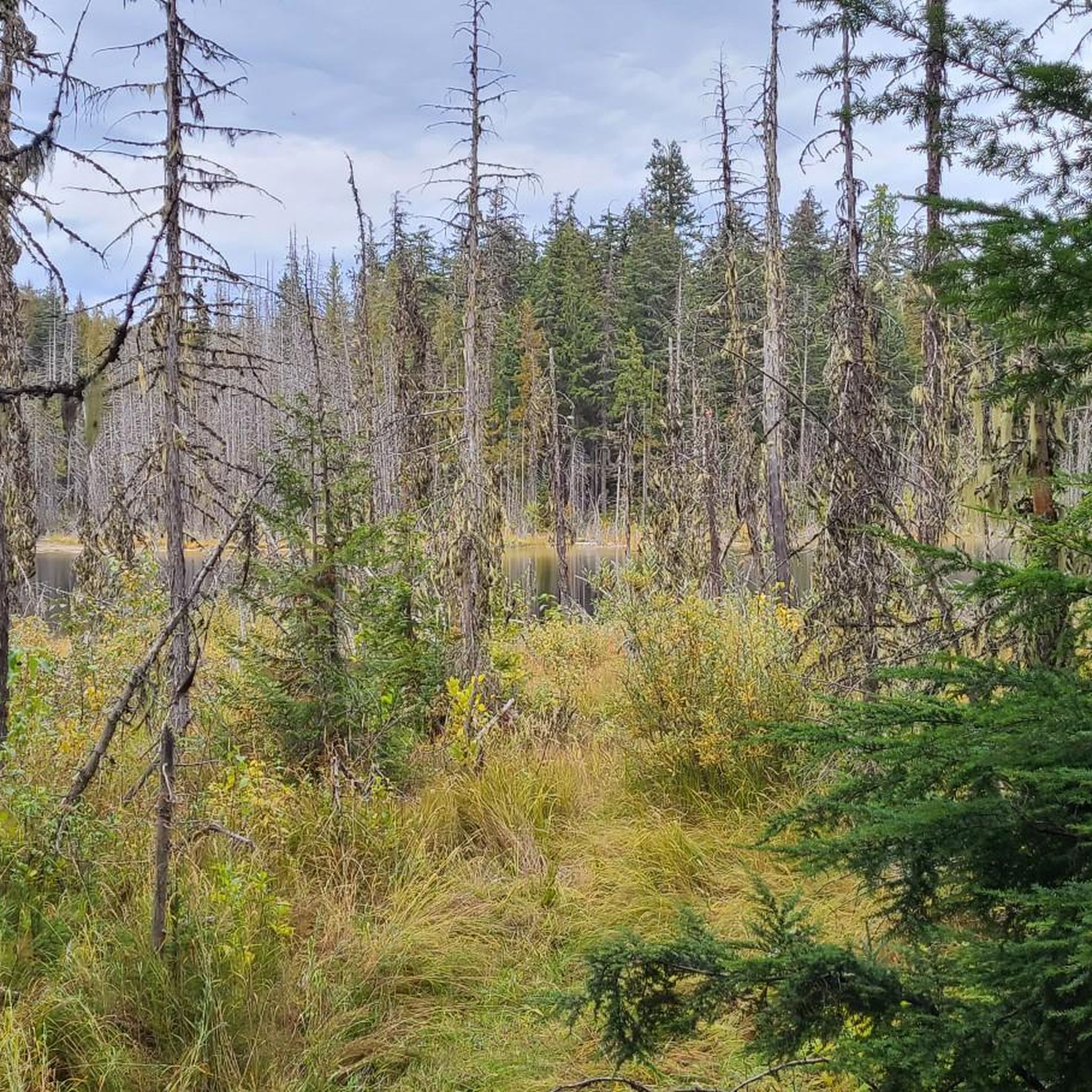
Tips from the Community

Sicamous Creek Trail, known locally as The Lizard, is a short but enjoyable forest trail that follows the rushing waters of Sicamous Creek under a lush canopy of western hemlock and cedar. The easy walking paths, stairways, and connecting trails lead to the waterfall, scenic overlooks, and impressive rock formations, making it a great destination for hikers of all ages.
0
0
A short walk leads to this lookout spot overlooking Sicamous Creek as it winds through a narrow, forested canyon. From here, you can also see where flooding washed away the original loop trail, a reminder of the powerful forces that continue to shape this rugged landscape.
0
0
Sicamous Creek Falls tumbles through a narrow rocky gorge, where the powerful water has carved smooth bedrock and sculpted the surrounding canyon over thousands of years. A series of stairs leads to a safe viewing platform, where you can get a close-up look at one of the most picturesque waterfalls in the area.
0
0

A wonderful relatively easy hike, that's just one option amongst the extensive trail network through this forest. Keep an eye out for mountain bikers as these are multi-use trails.
0
0

Reinecker Creek tumbles through a narrow forested canyon on its way to Margaret Falls, carving through the rock that gives this trail its dramatic scenery. The creek flows year-round, with spring snowmelt and periods of heavy rain creating particularly impressive cascades and fast-moving water. Moss-covered boulders, cedar trees, and the constant sound of rushing water make the creek a defining feature of the Margaret Falls Trail.
0
0
This short forest trail follows Reinecker Creek through a lush canyon of moss-covered rock walls and towering cedars. Wooden bridges and boardwalks help navigate the damp terrain, while the sound of rushing water accompanies much of the walk. The route's most distinctive feature is a natural rock passage near the end of the trail, just before reaching Margaret Falls.
0
0

From a viewing platform at the end of the trail, you can take in the majesty of the 90-foot, two-step Margaret Falls.
0
0
You can see a portion of the Salmon Arm of Shuswap Lake from this spot in the trees along the trail.
0
0
Frequently Asked Questions
How many hiking trails are there in Area E (Eagle River Valley)?
There are over 10 hiking routes available in Area E (Eagle River Valley), offering a range of experiences from easy loops to challenging mountain ascents. The komoot community has explored these trails over 400 times.
Are there any trails with waterfalls in the Eagle River Valley?
Yes, the Eagle River Valley features several trails where you can experience waterfalls. For an easy walk, the 1-mile hike to Barbara Falls is a popular choice. The challenging Crow Pass Trail also boasts plunging waterfalls along its route.
What are some family-friendly hiking options in the Eagle River Valley?
For families, the Albert Loop Trail is an excellent choice. This 3-mile loop is considered one of the most scenic easy hikes, traversing forests, crossing wooden bridges, and following the Eagle River. The Rodak Nature Loop, ranging from 0.7 to 3 miles, also offers interpretive signs and viewing platforms, making it engaging for all ages.
Can I hike with my dog in the Eagle River Valley?
Many trails in the Eagle River Valley are dog-friendly, but it's always best to check specific trail regulations before heading out. Generally, dogs are welcome on leash, and it's important to practice Leave No Trace principles by cleaning up after your pet.
Are there any circular hiking routes in the area?
Yes, the Eagle River Valley offers several circular routes. The Albert Loop Trail is a popular 3-mile loop that provides a scenic and accessible experience. Another option is the River Loop, an easy 1-mile trail that allows for a pleasant walk along the river.
What is the best time of year to hike in the Eagle River Valley?
The best time for hiking in the Eagle River Valley is typically during the summer months, from late May to early September, when trails are clear of snow and the weather is mild. However, many trails are maintained for year-round use, offering opportunities for cross-country skiing or snowshoeing in winter.
What kind of wildlife can I expect to see while hiking?
The Eagle River Valley is rich in wildlife. Hikers frequently spot brown and black bears (especially during salmon spawning season), moose, and beavers. You might also encounter various bird species, including American dippers and owls. The Mountain Meadow Trail is particularly known for bear and moose sightings.
Which trails offer the best views of the surrounding landscape?
For panoramic vistas, the hike up Mt. Baldy is highly recommended, offering expansive views of the surrounding area and, on clear days, even Denali. The challenging Bear Point Trail also rewards hikers with extensive views from the Kenai Peninsula to Denali and the Chugach Mountains.
Are there less crowded hiking trails in the Eagle River Valley?
While popular trails can see more visitors, exploring trails during off-peak hours or on weekdays can offer a more secluded experience. The Eagle River Valley has a variety of trails, so you can often find quieter paths by venturing a bit further from the main access points or exploring lesser-known sections of larger trail systems.
Is public transport available to reach trailheads in the Eagle River Valley?
Public transport options to specific trailheads in the Eagle River Valley can be limited. While Anchorage has a public bus system (People Mover), direct routes to many remote trailheads are not common. It's advisable to check local transit schedules or consider driving to access most hiking areas, especially those further into Chugach State Park.
Are there any permits required for hiking or camping in the Eagle River Valley?
For day hiking in the Eagle River Valley, permits are generally not required. However, if you plan on backcountry camping, especially along trails like the Crow Pass Trail within Chugach State Park, you may need to obtain permits. It's always best to check with the Chugach State Park office or the Eagle River Nature Center for the most current regulations regarding permits and camping.
What are the conditions like for winter hiking in the Eagle River Valley?
Winter hiking in the Eagle River Valley offers a unique experience, with many trails maintained for cross-country skiing and snowshoeing. Conditions can vary greatly, so it's essential to check avalanche forecasts, trail reports, and weather conditions before heading out. Proper winter gear, including traction devices and warm layers, is crucial.
What do other hikers enjoy most about hiking in Area E (Eagle River Valley)?
The area is highly rated by the komoot community, with an average score of 4.5 stars. Reviewers often praise the stunning natural features, including glacial river valleys, pristine mountain views, and the abundance of Alaskan wildlife. The diverse range of trails catering to different skill levels is also frequently highlighted.
Most popular routes around Area E (Eagle River Valley)
Most popular attractions around Area E (Eagle River Valley)

Get inspired with the komoot mobile app


Explore more
Browse the best Hikes in other regions.
