The best cycling routes around Cowichan Valley F
4.6
(47)
430
riders
11
rides
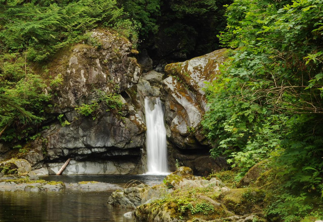
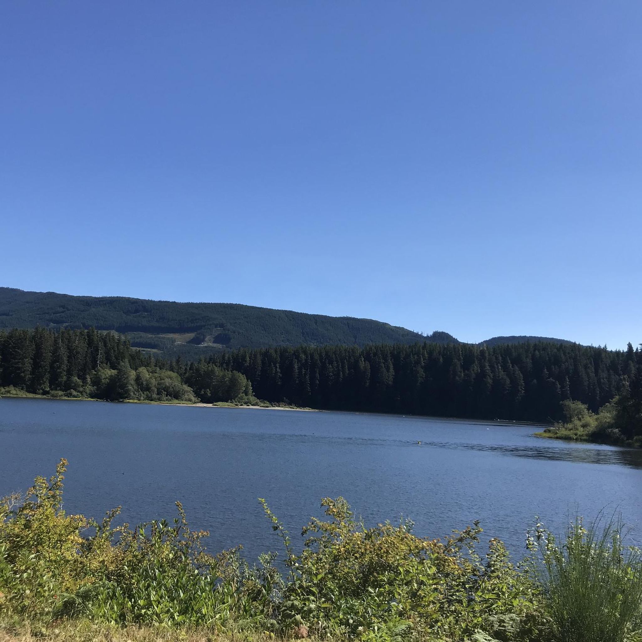
Touring cycling around Cowichan Valley F offers routes through a varied topography, encompassing lush river valleys, forested hills, and coastal areas. The region is characterized by features such as the Cowichan River and Cowichan Lake, with elevations ranging from sea level to hills under 200 meters. Glacial activity has shaped the distinctive valleys and mountains, providing diverse terrain for cyclists.
Best touring cycling routes around Cowichan Valley F
- The most popular touring cycling route is Lake Cowichan – Fairy Lake…
Last updated: November 4, 2026
4.5
(4)
21
riders
38.9km
02:48
280m
280m
Moderate bike ride. Good fitness required. Mostly paved surfaces.
4.8
(4)
19
riders
21.8km
01:41
140m
140m
Easy bike ride. Mostly paved surfaces.

4.8
(4)
20
riders
22.1km
01:43
150m
150m
Easy bike ride. Mostly paved surfaces.
5.0
(1)
12
riders
120km
07:31
1,140m
1,140m
Hard bike ride. Very good fitness required. Mostly paved surfaces.
4.5
(2)
14
riders
Moderate bike ride. Good fitness required. Mostly paved surfaces.
Get access to more routes and recommendations from other explorers.
Already have an account?
Our route recommendations are based on thousands of hikes, rides, and runs completed by other people on komoot.
Start today with a free account
Your next adventure awaits.
Other adventures around Cowichan Valley F

Tips from the Community

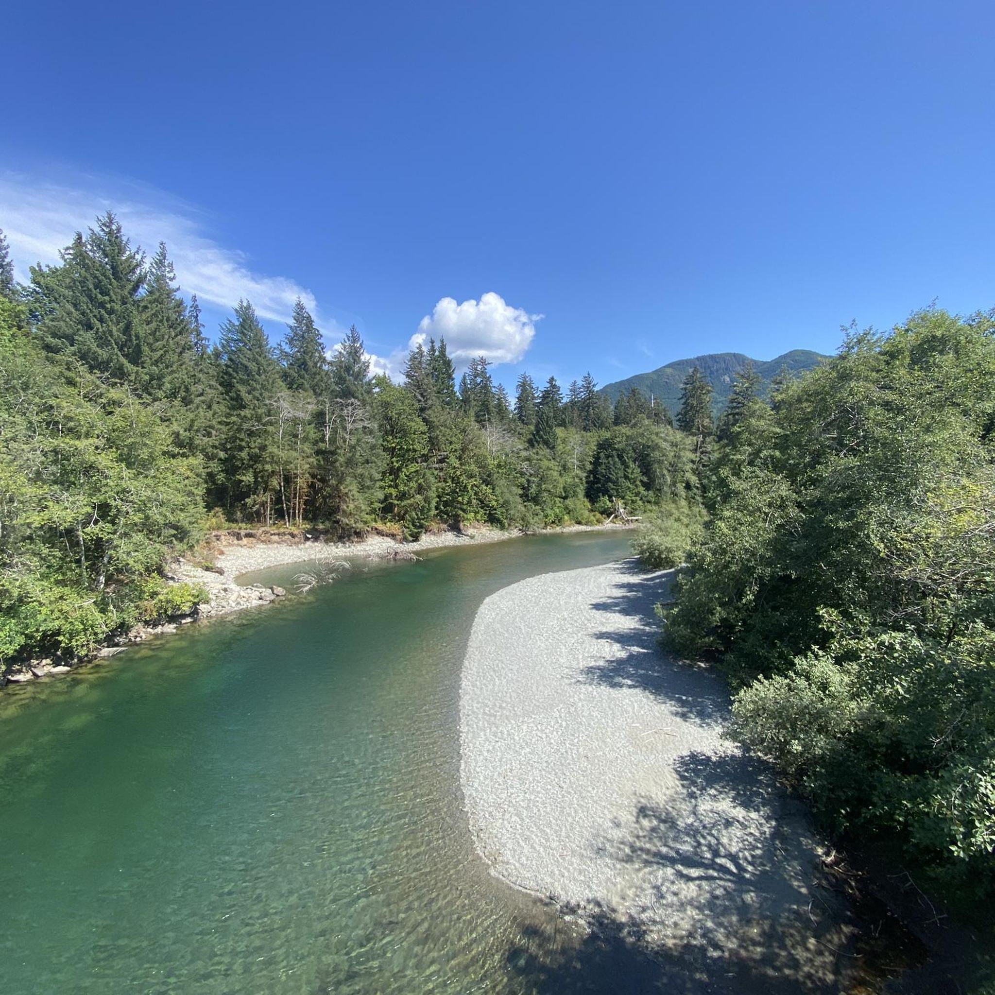
The Greendale Trestle Bridge was once part of the Canadian Pacific Railway, and has now been converted into a pedestrian and cyclist footbridge, part of the Cowichan Valley Trail and Trans Canada Trail. Beneath the bridge is crystal-clear water. In summer, the water is dotted with colourful inner tubes. In the autumn, it's a great vantage point to peer down and watch salmon spawning in the Cowichan River gravels.
0
0
This is one of two Trans Canada Trail Western Terminus. This one, in the town of Lake Cowichan, is the westernmost physical point of the contiguous Trans Canada Trail network. There is a designated monument and pavilion marking the spot right across from the local visitor centre. The other Western Terminus is in Clover Point. This spot is also a sharp turn on the Cowichan Valley Trail, which spans 122 kilometres. This is about the halfway point and the trail turns from heading east to back west again. The town of Lake Cowichan has restaurants, hotels and is a recreation hub for bikers, walkers, and runners using its trails and boaters and kayakers on the lakes water.
0
0

Shirley Delicious: a must stop for many goodies to shape a breakfast, a lunch or just a treat
0
0
Fairy Lake Recreation Site has 36 campsites for both tents and small RVs, with premium waterfront spots. Facilities include pit toilets, fire pits, and picnic tables at each site. The lake features a sandy beach for swimming, a non-motorized boat launch, and excellent fishing for cutthroat trout and Dolly Varden.
0
0

Great for swimming and with the option of wild camping. Directly above the water between bushes and trees. Good privacy and very quiet after 7 p.m. It is also tolerated. There are no no camping signs either.
0
0

Place to take a dip and fill up water if you need. Right after the bridge heading towards port renfrew there’s a little path from the pullout. Enjoy
0
0

Glorious burgers and milkshakes at this retro diner. Great service, awesome food. Not open on Sundays!
0
0

Nice little town - you can cycle the whole way around on gravel logging roads.
0
0
Frequently Asked Questions
What types of terrain can I expect on touring cycling routes in the Cowichan Valley?
The Cowichan Valley offers a diverse range of terrain for touring cyclists. You'll find routes winding through lush river valleys, forested hills, and scenic coastal areas. The region's landscape, shaped by glacial activity, provides varied experiences from relatively flat sections to routes with significant elevation changes, particularly in areas near mountains like Mount Tzouhalem and Mount Prevost.
Are there any family-friendly touring cycling routes in the Cowichan Valley?
Yes, the Cowichan Valley offers several routes suitable for families. The Lake Cowichan Bridge – Mayo Lake loop from Lake Cowichan is an easy 21.8 km trail that takes you through river valleys and past Mayo Lake, often completed in about 1 hour 41 minutes. The Cowichan Valley Trail, part of the Trans Canada Trail, also features mostly wide, flat, and compacted gravel sections, making it accessible for cyclists of all skill levels.
What are some notable landmarks or attractions I can see along the cycling routes?
The Cowichan Valley is rich in natural and historical attractions. A major highlight is the Kinsol Trestle, one of the world's tallest and longest wooden railway trestles, which is part of the Cowichan Valley Trail. You can also explore the Cowichan Valley Trail — Rainforest Section, or visit beautiful lakes like Lake Cowichan and Fairy Lake. Charming towns like Cowichan Bay and Duncan also offer cultural experiences and amenities.
What is the best time of year for touring cycling in the Cowichan Valley?
The Cowichan Valley benefits from a mild, Mediterranean-like climate, making it suitable for touring cycling much of the year. Spring and fall generally offer pleasant temperatures and beautiful scenery. Summers are warm and dry, ideal for long rides, while winters are mild but can bring rain. Always check local weather conditions before heading out.
Are there any challenging routes for experienced touring cyclists?
Yes, for experienced touring cyclists seeking a challenge, the Cowichan Valley offers routes with significant elevation changes. The Lake Cowichan – Fairy Lake loop from Lake Cowichan is a difficult 109.2 km trail that explores extensive forested areas and features substantial climbs, typically taking around 6 hours 53 minutes to complete.
Are there any loop routes available for touring cyclists?
Many touring cycling routes in the Cowichan Valley are designed as loops, allowing you to start and end in the same location. Examples include the moderate Mayo Lake – J&V's Burgers & Pizza loop from Cowichan Lake at Kapoor (WB), which covers 38.9 km, and the easy Mayo Lake – J&V's Burgers & Pizza loop from Cowichan Lake at Mayo (EB), a 22.1 km ride. These loops often pass through varied terrain and scenic spots.
What is the community's overall rating for touring cycling in the Cowichan Valley?
The touring cycling routes in the Cowichan Valley are highly regarded by the komoot community, holding an impressive average rating of 4.6 stars from over 40 reviews. Cyclists frequently praise the varied terrain, scenic beauty, and the well-maintained sections of trails like the Cowichan Valley Trail.
Can I find routes that incorporate historic railway trestles?
Absolutely. The Cowichan Valley is famous for its historic railway trestles, which are integrated into many cycling routes. The Holt Creek Trestle – 66 Mile Trestle loop from Cowichan Lake at Lepage (EB) is a moderate 34.2 km route that allows you to experience these impressive structures firsthand, including the iconic Kinsol Trestle.
Are there options for shorter, easier rides?
Yes, the region caters to all skill levels, including those looking for shorter, easier rides. The Lake Cowichan Bridge – Mayo Lake loop from Lake Cowichan is an easy 21.8 km trail that offers a pleasant ride through river valleys and past Mayo Lake, making it a great option for a relaxed outing.
What kind of surfaces can I expect on the touring cycling routes?
The Cowichan Valley's touring cycling routes feature a mix of surfaces. The extensive Cowichan Valley Trail, a key part of the network, is primarily composed of wide, flat, and compacted gravel, suitable for touring bikes. Other routes may include paved sections, especially when passing through towns or along quieter roads, and some natural, unpaved paths through forested areas.
Are there places to stop for food or drinks along the routes?
Yes, many cycling routes in the Cowichan Valley pass through or near charming towns and rural areas with amenities. You'll find opportunities to stop at local shops, cafes, restaurants, and even wineries and cideries, especially in communities like Cowichan Bay, Duncan, and near Lake Cowichan. For example, the Mayo Lake – J&V's Burgers & Pizza loop from Cowichan Lake at Kapoor (WB) suggests a stop at J&V's Burgers & Pizza.
How many touring cycling routes are available in the Cowichan Valley?
There are over 10 dedicated touring cycling routes available in the Cowichan Valley, offering a variety of experiences. These include 3 easy routes, 6 moderate routes, and 3 difficult routes, ensuring options for cyclists of all skill levels.
Most popular routes around Cowichan Valley F
Most popular attractions around Cowichan Valley F

Get inspired with the komoot mobile app


Explore more
Browse the best Cycling routes in other regions.
