The best road cycling routes around Salt Spring Island Electoral Area
4.7
(20)
418
riders
22
rides
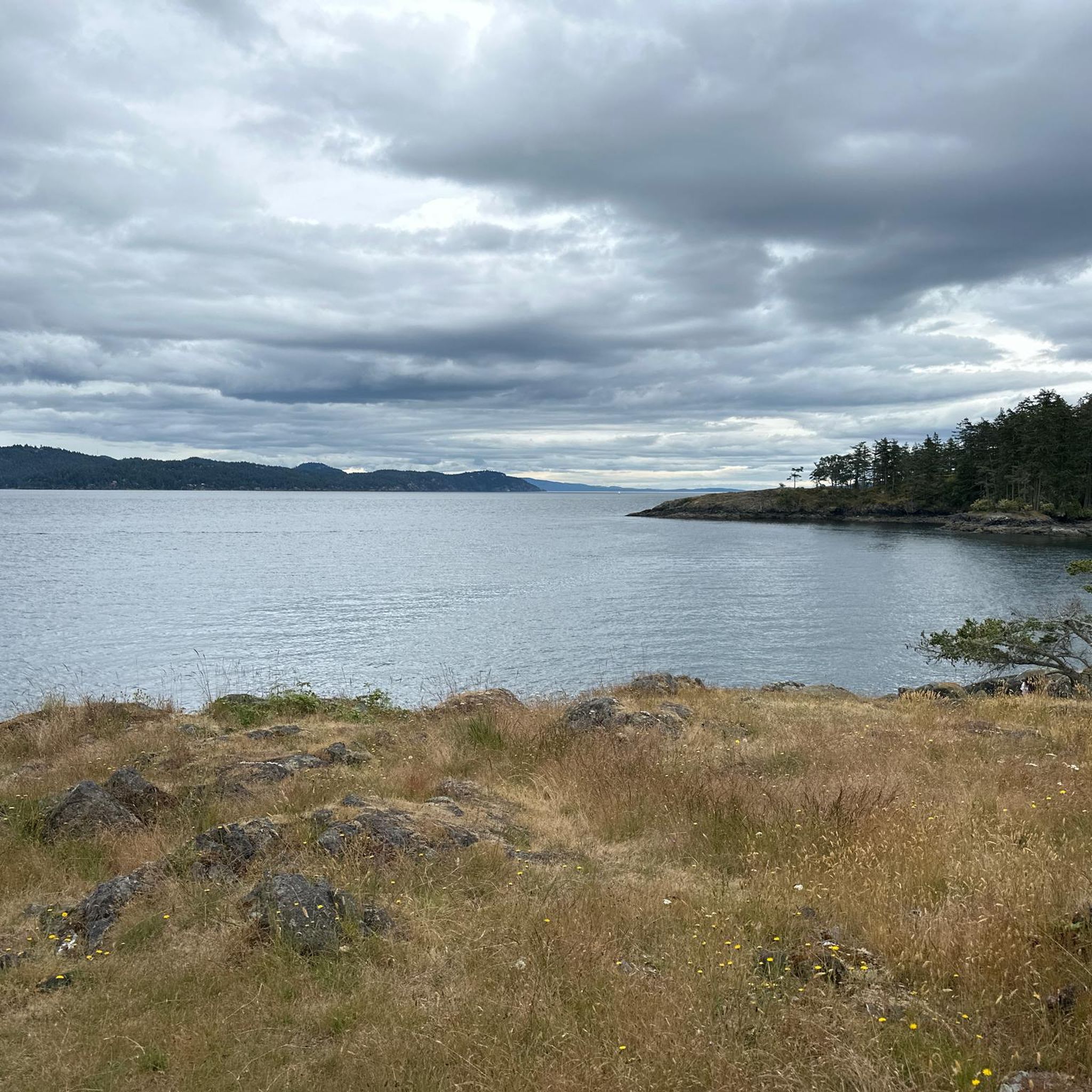
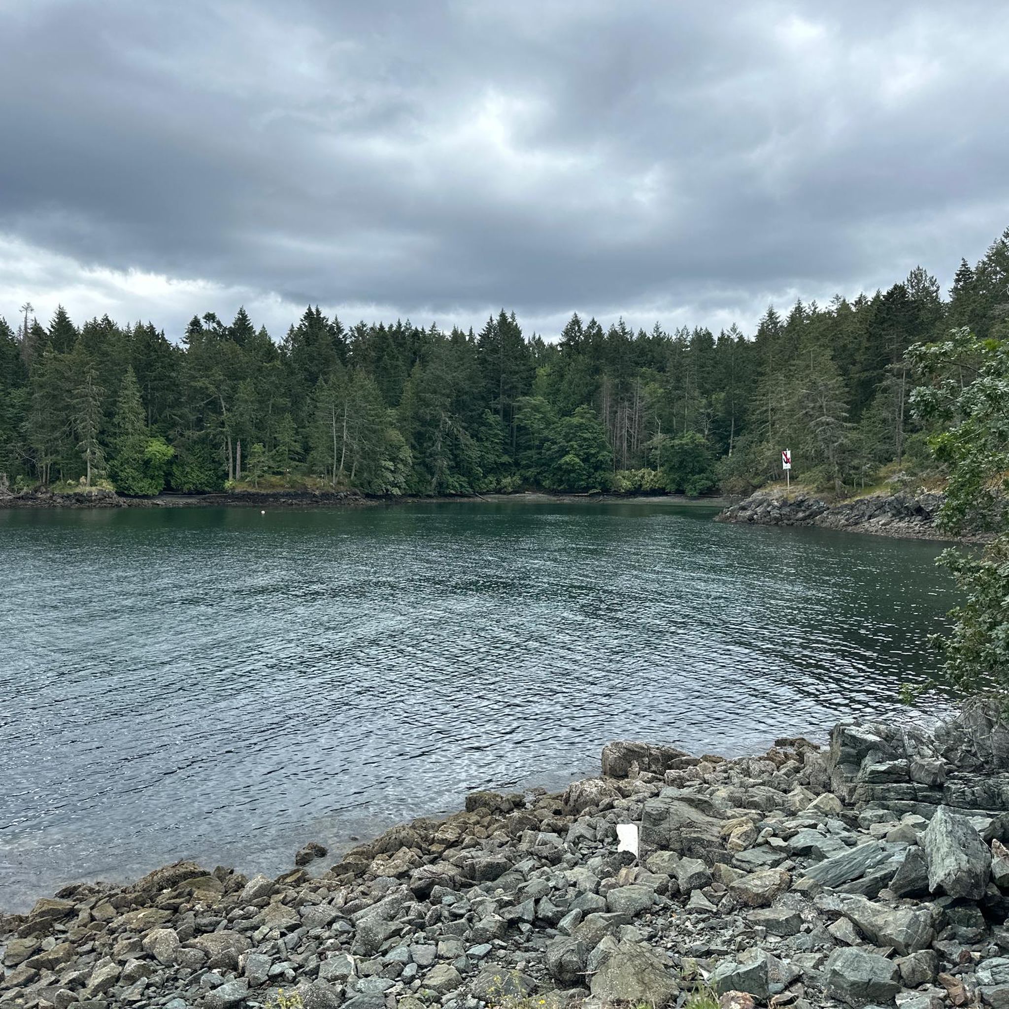
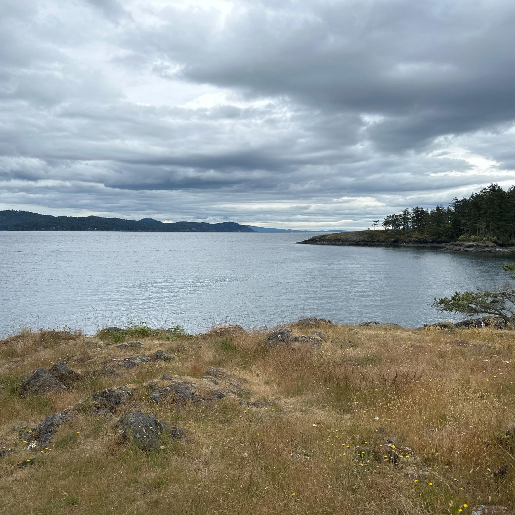
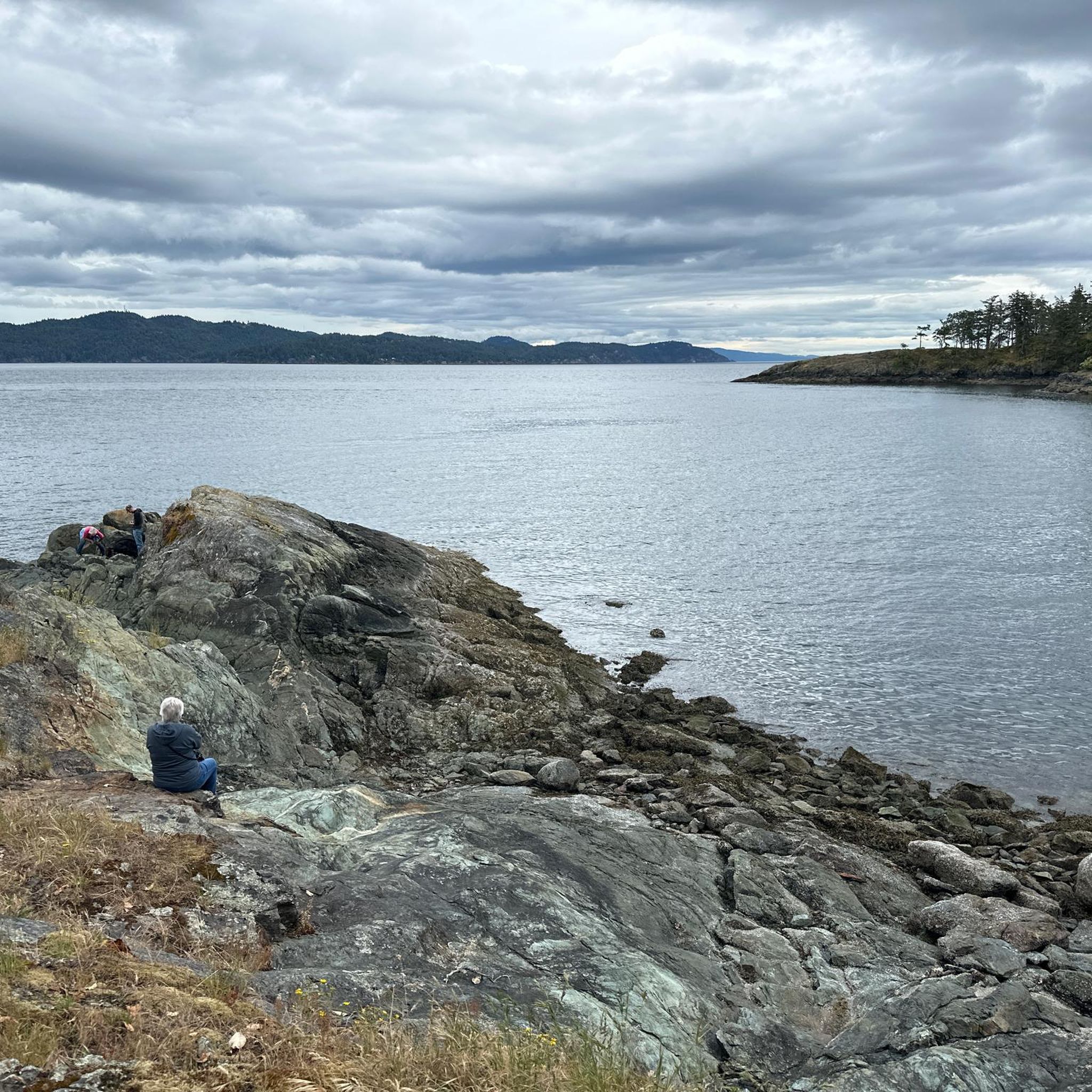
Road cycling routes around Salt Spring Island Electoral Area traverse diverse landscapes, characterized by bucolic scenery and expansive water views. The island features hilly terrain with numerous steep, short climbs on narrow roads. While many main routes are paved, cyclists should be prepared for varying road conditions, including sections with loose gravel or bumpy patches. This region offers a mix of challenging and moderate routes, catering to different fitness levels.
Best road cycling routes around Salt Spring Island Electoral Area
- The most popular road cycling route is Walker Hook loop from Ganges, a 25.1 miles (40.4 km) trail that takes 2 hours 8 minutes to complete. This route explores the coastal areas near Ganges, a central hub on the island.
- Another top favourite among local road cyclists is Lake Weston – Lake Stowell loop from Ruckle Provincial Park, a moderate 10.4 miles (16.8 km) path. This route offers views of the island's lakes and passes through Ruckle Provincial Park, known for its scenic shoreline.
- Local road cyclists also love the Pat Bay Cycle Path – Patricia Bay Park loop from Madrona at Cromar, a 39.2 miles (63.0 km) trail leading through varied terrain, often completed in about 2 hours 58 minutes.
- Road cycling around Salt Spring Island Electoral Area is defined by hilly terrain, bucolic scenery, and coastal views. The network offers options for different ability levels, from moderate rides to those requiring very good fitness.
- The routes in Salt Spring Island Electoral Area are highly rated by the komoot community with an average score of 4.6 stars from more than 10 reviews. More than 400 road cyclists have used komoot to explore Salt Spring Island Electoral Area's varied terrain.
Last updated: August 15, 2026
4.5
(2)
69
riders
Moderate road ride. Good fitness required. Mostly well-paved surfaces and easy to ride.
5.0
(1)
55
riders
49.2km
02:53
770m
770m
Moderate road ride. Good fitness required. Mostly well-paved surfaces and easy to ride.

Sign up for free
37
riders
16.8km
01:13
300m
290m
Moderate road ride. Great for any fitness level. Some segments of this route may be unpaved and difficult to ride.
5.0
(1)
35
riders
63.6km
03:03
560m
560m
Moderate road ride. Good fitness required. Some segments of this route may be unpaved and difficult to ride.
5.0
(2)
33
riders
64.3km
03:23
890m
890m
Moderate road ride. Good fitness required. Mostly well-paved surfaces and easy to ride.
Get access to more routes and recommendations from other explorers.
Sign up for free
Already have an account?
Our route recommendations are based on thousands of hikes, rides, and runs completed by other people on komoot.
Start today with a free account
Your next adventure awaits.
Login or Signup
Tips from the Community

This trailhead sits on the west side of Wallace Drive, just north of Brentwood Bay and has limited roadside parking. From here, a gently sloped trail continues toward Tod Creek and Tod Inlet.
0
0

Patricia Bay Park is a quiet waterfront spot in North Saanich with open views of the Saanich Inlet and easy access to the paved Scoter Trail. There are picnic tables, restrooms, and a small beach area, making it a lovely place to stop for lunch or take a break. It’s low-key and family-friendly, perfect for birdwatching, a short walk, or just sitting by the water.
2
0

Let's you stay off the roads and bypass downtown Sidney if you are just travelling through though Sidney does have some great bakeries and coffee stops
0
0

Buy tickets on board the ferry, or at local Thrifty Foods supermarkets. The eastern terminal at Brentwood Bay has a few businesses, including Seahorses Café which is immediately next to the dock. At the western Mill Bay terminal, the closest services are on the Trans-Canada Highway.
0
0

All information of the ferry on the picture. Always place for cyclists. For more tips & tricks find us on YouTube & Instagram
0
1

Pay with cash or credit at the dock before loading. Public washrooms about 100m away from dock entrance.
0
0
Test Highlight - this was a nice gravel path part of the trail...and cuts off all hills!
0
0
Frequently Asked Questions
What kind of terrain can I expect on road cycling routes around Salt Spring Island Electoral Area?
Road cycling routes on Salt Spring Island feature hilly terrain with numerous steep, short climbs on narrow roads. While most main routes are paved, be prepared for varying road conditions, including sections with loose gravel or bumpy patches, especially on less-traveled roads.
Are there road cycling routes suitable for beginners or families on Salt Spring Island?
Yes, while many routes involve significant elevation, there are options for varying fitness levels. For a moderate ride with scenic views, consider the Lake Weston – Lake Stowell loop from Ruckle Provincial Park, which is about 16.8 km. It offers views of the island's lakes and passes through Ruckle Provincial Park.
What are some popular loop routes for road cycling on Salt Spring Island?
Popular loop routes include the Walker Hook loop from Ganges, which is a 40.4 km route exploring coastal areas. Another option is the Lake Weston loop from Kanaka Road Park Reserve No. 1, covering 25.1 km with moderate difficulty.
What is the best time of year for road cycling on Salt Spring Island?
Quieter seasons like spring or fall are often ideal for road cycling on Salt Spring Island. The weather is generally pleasant, and there's less traffic, allowing for a more enjoyable experience on the narrow, winding roads.
Are there any challenging routes for experienced road cyclists?
Absolutely. Salt Spring Island offers routes requiring very good fitness due to significant elevation gains. For a rigorous adventure, the gravel road to Mount Maxwell presents a steep climb (up to 18%) but rewards cyclists with epic views. The Walker Hook loop from Goat Island is also a challenging 61.9 km route with substantial climbing.
What kind of views and scenery can I expect while cycling on Salt Spring Island?
Cyclists can enjoy diverse landscapes, from bucolic scenery with rolling hills and farms to stunning water views along the coast. Routes often feature lakes like St. Mary Lake and Lake Weston, and offer glimpses of the Trincomali Channel.
Are there places to stop for food or coffee along the road cycling routes?
Ganges Village, the main hub on Salt Spring Island, offers a variety of amenities including eateries and shops, making it a great spot for a mid-ride lunch or coffee. The Northern Route from Long Harbour Ferry Terminal also passes near the Fernwood Road Cafe.
What attractions or points of interest can I visit while road cycling on Salt Spring Island?
You can explore Patricia Bay Park, which is part of the Pat Bay Cycle Path – Patricia Bay Park loop from Madrona at Cromar. On Salt Spring Island itself, consider stopping at Ruckle Provincial Park for panoramic views, or visit local wineries like Garry Oaks Winery and Salt Spring Vineyards, which are accessible by bike from Fulford Harbour.
What should I be aware of regarding road conditions and safety?
Roads can be narrow with non-existent or limited shoulders, and conditions may include loose gravel or bumpy patches. It's advisable to wear bright cycling gear for visibility, especially during quieter seasons. Also, be aware of wildlife, particularly deer, which can appear suddenly.
How many road cycling routes are there in Salt Spring Island Electoral Area?
There are over 20 road cycling routes available in the Salt Spring Island Electoral Area, catering to various skill levels from moderate to difficult.
What do other road cyclists enjoy most about cycling in Salt Spring Island Electoral Area?
The area is highly rated by the komoot community, with an average score of 4.6 stars from more than 10 reviews. Cyclists often praise the diverse landscapes, challenging climbs, and rewarding coastal and bucolic views.
Most popular routes around Salt Spring Island Electoral Area
Most popular attractions around Salt Spring Island Electoral Area

Get inspired with the komoot mobile app


Explore more
Browse the best Road cycling routes in other regions.
