The best running trails around Area C (Puntledge/Black Creek)
4.3
(15)
455
runners
42
runs
Jogging around Area C (Puntledge/Black Creek) offers a diverse landscape for runners, characterized by river valleys, nature parks, and trails leading towards alpine environments. The region features a mix of gentle paths along waterways like the Puntledge River and more challenging ascents near Mount Washington. Runners can expect varied terrain, from forested trails to open areas, providing a range of experiences for different fitness levels.
Best jogging routes around Area C (Puntledge/Black Creek)
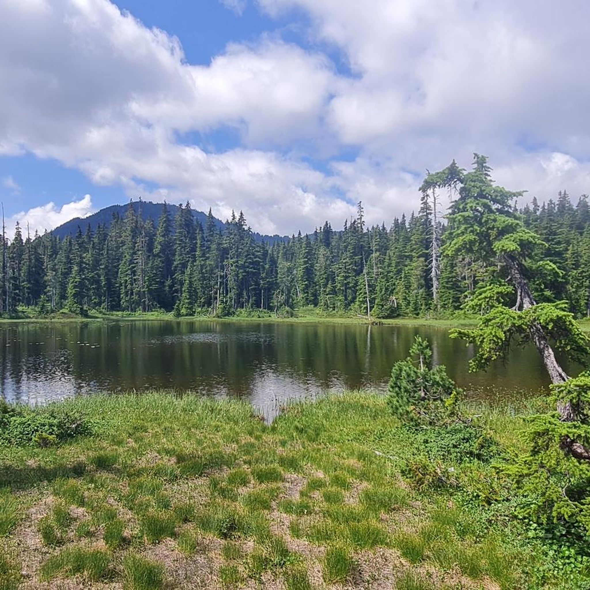
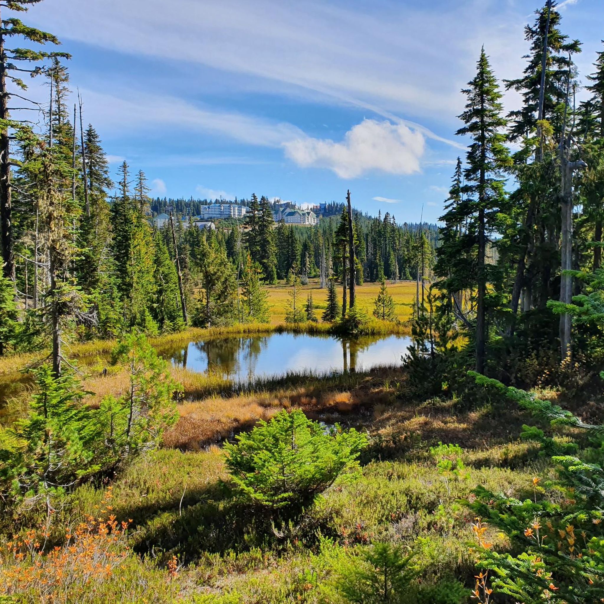
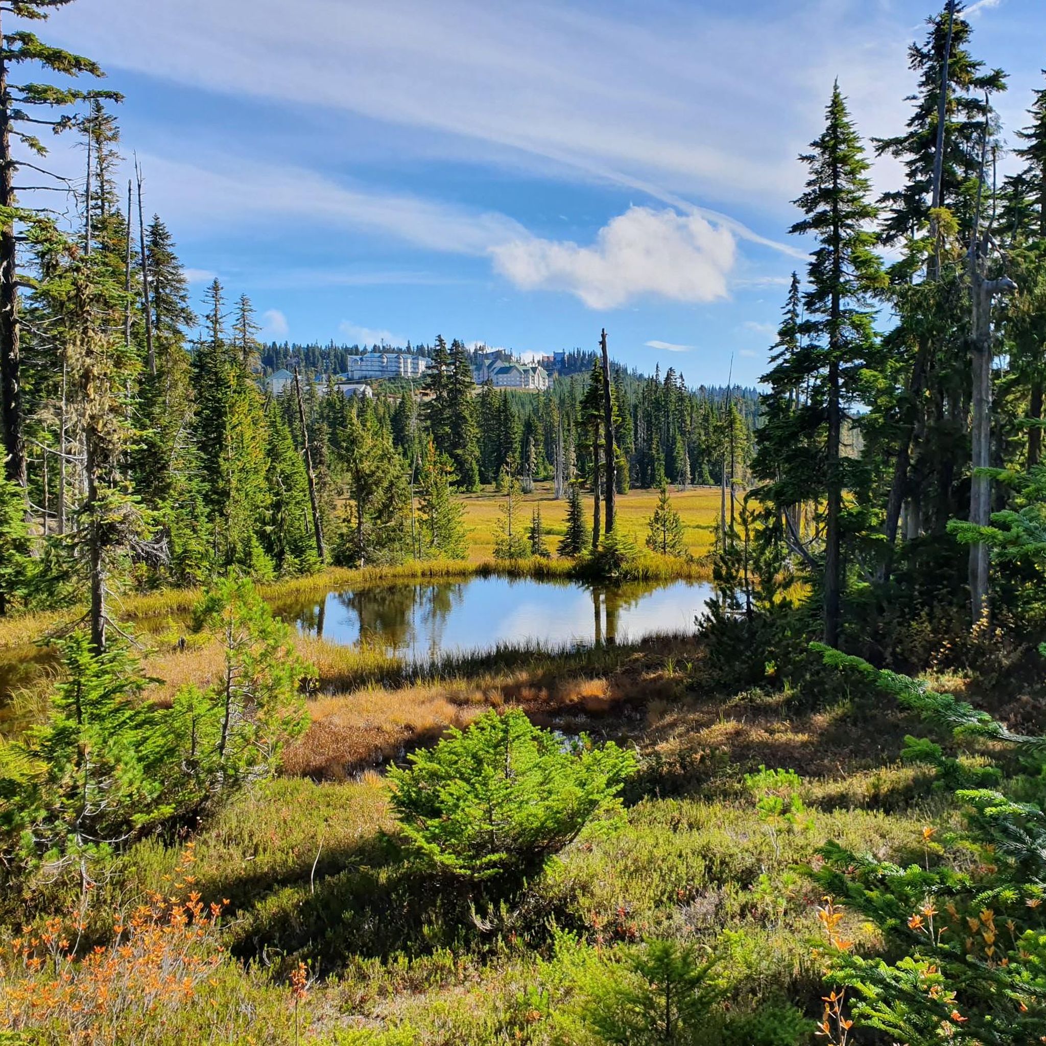
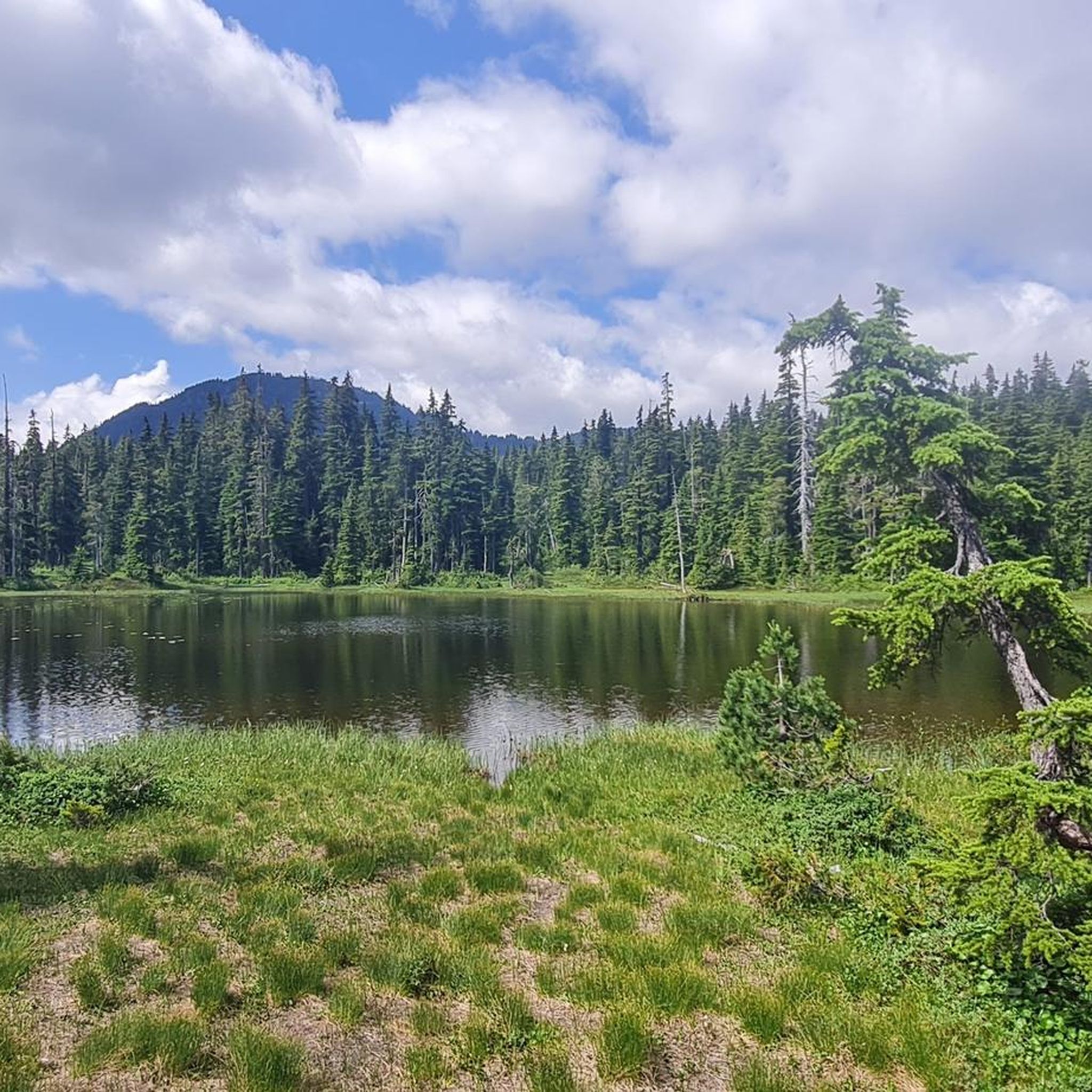
- The most popular jogging route is Paradise Ponds – Battleship Lake loop from Mount Washington Alpine Resort, a 5.4 miles (8.7 km) trail that takes 1 hour 9 minutes to complete. This route offers a challenging run through alpine scenery with moderate elevation changes.
- Another top favourite among local runners is Millard Nature Park loop from Courtenay, a moderate 6.7 miles (10.8 km) path. This trail winds through a natural park setting, providing a scenic and accessible running experience.
- Local runners also love the Jack Hames Trail loop from Glenmore at Lambeth (WB), a 3.7 miles (5.9 km) trail leading through a relatively flat, accessible area, often completed in about 42 minutes.
- Jogging around Area C (Puntledge/Black Creek) is defined by river paths, nature park trails, and alpine-adjacent routes, offering options for easy, moderate, and difficult ability levels.
- The routes in Area C (Puntledge/Black Creek) are highly rated by the komoot community with an average score of 4.5 stars from a few reviews. More than 500 runners have used komoot to explore Area C (Puntledge/Black Creek)'s varied terrain.
Last updated: November 8, 2026
29
runners
8.71km
01:09
150m
150m
Hard run. Good fitness required. Sure-footedness, sturdy shoes and alpine experience required.
4.0
(1)
29
runners
19.7km
02:50
450m
450m
Hard run. Very good fitness required. Sure-footedness, sturdy shoes and alpine experience required.

14
runners
10.4km
01:05
60m
60m
Moderate run. Good fitness required. Mostly paved surfaces.
12
runners
Hard run. Very good fitness required. Mostly paved surfaces.
5.0
(1)
13
runners
5.94km
00:43
20m
20m
Moderate run. Good fitness required. Mostly paved surfaces.
Get access to more routes and recommendations from other explorers.
Already have an account?
Our route recommendations are based on thousands of hikes, rides, and runs completed by other people on komoot.
Start today with a free account
Your next adventure awaits.

Tips from the Community

Very nice path to take me out of Courtenay.
0
0

The Puntledge River Trail is a fantastic way to explore the banks of the Puntledge River and Bevan City ruins. This area has bears, so be bear aware, and don't leave food in parked cars. The trail itself is really flat and well-maintained and passes through tall second growth forests with wonderful river viewpoints and a few swimming holes along the way.
0
0
The Puntledge River flows 48 kilometres from Comox Lake until reaching the Strait of Georgia. This river is teeming with life, with massive salmon runs as well as great swimming, tubing and hiking opportunities. Be careful when taking a dip as many areas have strong currents, so choose designated swimming holes in calm parts of the river.
0
0
Here, and scattered through Puntledge Forest, are ruins of old coal industrial infrastructure. What remains of this once busy industry are intakes, flumes, penstocks, cement foundations, scattered bricks, and remnants of chimneys from the original 20th-century coal mining settlement. Be careful while exploring for unstable structures, glass and more.
0
0

This path takes you through Courtenay's urban area, partially sheltered on either side by strips of greenery, between downtown and the riverfront. You share the path with cyclists, but the trail is paved and divided to ease multi-use traffic.
0
0
Totem poles by the K’ómoks First Nation have been installed in Courtenay over the past decade to bring greater recognition to indigenous culture. This one overlooks the salt marsh and the banks of the Courtenay River.
0
0

“The Strathcona Wilderness Institute is a non-profit society incorporated in 1995 to promote responsible and enjoyable use of the wilderness areas of Strathcona Provincial Park in central Vancouver Island on the west coast of British Columbia, Canada.” Source: https://strathconapark.org/
2
0
Frequently Asked Questions
How many running routes are available in Area C (Puntledge/Black Creek)?
There are over 50 running routes available in Area C (Puntledge/Black Creek), offering a wide range of experiences from easy riverside paths to challenging alpine trails.
Are there any easy or beginner-friendly jogging routes in Area C?
Yes, Area C offers several easy jogging routes suitable for beginners. For example, the Jack Hames Trail loop from Glenmore at Lambeth (WB) is a relatively flat, accessible path that's great for a relaxed run.
What kind of terrain can I expect on the running trails?
The terrain in Area C (Puntledge/Black Creek) is quite varied. You'll find everything from gentle paths along waterways like the Puntledge River to forested trails and more challenging ascents near Mount Washington, providing options for different fitness levels.
Are the jogging routes in Area C suitable for families?
Many of the moderate and easy routes are suitable for families, especially those looking for less strenuous options. Trails like the Millard Nature Park loop from Courtenay offer scenic and accessible experiences through natural park settings.
Can I bring my dog on the trails in Area C (Puntledge/Black Creek)?
Many trails in the region are dog-friendly, but it's always best to check local regulations for specific parks or protected areas. Generally, dogs are welcome on leash, especially on less crowded paths. Please remember to clean up after your pet.
What are some interesting sights or landmarks I can see while running?
Along the running routes, you can discover various natural attractions. Highlights include the beautiful Helen Mackenzie Lake, the scenic Paradise Meadows, and the impressive Nymph Falls. The Puntledge River loop from Nymph Falls Regional Nature Park is a great option to experience some of these.
Are there any loop running trails in the area?
Yes, most of the popular running routes in Area C (Puntledge/Black Creek) are designed as loops, making them convenient for starting and ending at the same point. Examples include the Paradise Ponds – Battleship Lake loop and the Centennial Loop Trailhead loop.
What is the best time of year to go jogging in Area C?
The best time for jogging generally depends on the specific trail. Lower elevation trails along rivers and through parks are enjoyable in spring, summer, and fall. For alpine routes near Mount Washington, summer and early fall offer the most accessible conditions, while winter provides opportunities for snowshoe running or cross-country skiing on designated trails.
Are there options for longer or more challenging runs?
Absolutely. For those seeking a challenge, routes like the Centennial Loop Trailhead loop from Mount Washington Alpine Resort offer significant distances and elevation changes, providing a demanding workout through alpine scenery.
What do other runners say about the trails in Area C (Puntledge/Black Creek)?
The running routes in Area C (Puntledge/Black Creek) are highly rated by the komoot community, with an average score of 4.5 stars. Runners often praise the diverse landscapes, from quiet river paths to challenging mountain ascents, and the well-maintained trails that cater to various skill levels.
Where can I find parking for the jogging routes?
Parking is typically available at the starting points of many popular routes, such as Mount Washington Alpine Resort for alpine trails or designated parking areas near nature parks like Millard Nature Park and Nymph Falls Regional Nature Park. Always check specific route details for precise parking information.
Are there any cafes or places to get refreshments near the running trails?
While specific cafes might not be directly on every trail, the nearby towns of Courtenay and Comox offer a variety of cafes, restaurants, and shops where you can refuel before or after your run. Mount Washington Alpine Resort also has dining options during its operating seasons.
Most popular routes around Area C (Puntledge/Black Creek)
Most popular attractions around Area C (Puntledge/Black Creek)

Get inspired with the komoot mobile app


Explore more
Browse the best Running Trails & Routes in other regions.
