The best cycling routes around Richmond
4.6
(1013)
16,159
riders
20
rides
Touring cycling around Richmond, Virginia, offers diverse landscapes, from urban routes to scenic riverfront paths. The region is characterized by the James River, extensive park systems, and the Virginia Capital Trail, providing a mix of paved and natural surfaces. Cyclists can explore historic areas, forests, and wetlands, with varied terrain suitable for different skill levels. This blend of natural beauty and historical significance makes Richmond a notable destination for outdoor activities.
Best touring cycling routes around Richmond
- The most popular touring cycling route is Dyke Gravel Path – Steveston Fishermen's Memorial loop from Richmond–Brighouse, a 13.4 miles (21.6 km) trail that takes 1 hour 34 minutes to complete. This easy route follows scenic dyke paths, offering views of the waterfront.
- Another top favourite among local touring cyclists is Dyke Gravel Path – Bridgeport Station loop from George Massey Tunnel, a moderate 27.3 miles (44.0 km) path. This route features extended sections along the dyke, providing a longer ride with varied river views.
- Local touring cyclists also love the South Dyke Trail – Dyke Gravel Path loop from Richmond–Brighouse, a 18.9 miles (30.4 km) trail leading through riverfront areas, often completed in about 2 hours 21 minutes.
- Touring cycling around Richmond is defined by riverfront paths, urban greenways, and diverse park systems. The network offers options for different ability levels, from easy, flat rides to more challenging routes.
- The routes in Richmond are highly rated by the komoot community with an average score of 4.6 stars from more than 40 reviews. More than 500 touring cyclists have used komoot to explore Richmond's varied terrain.
Last updated: August 6, 2026
4.3
(9)
78
riders
Easy bike ride. Great for any fitness level. Mostly paved surfaces. Suitable for all skill levels.
4.3
(7)
69
riders
Moderate bike ride. Good fitness required. Mostly paved surfaces. Suitable for all skill levels.

Sign up for free
4.0
(3)
90
riders
Moderate bike ride. Good fitness required. Mostly paved surfaces. Suitable for all skill levels.
4.5
(10)
66
riders
Moderate bike ride. Good fitness required. Mostly paved surfaces. Suitable for all skill levels.
4.7
(3)
51
riders
21.8km
01:49
20m
20m
Easy bike ride. Great for any fitness level. Mostly paved surfaces. Suitable for all skill levels.
Get access to more routes and recommendations from other explorers.
Sign up for free
Already have an account?
Our route recommendations are based on thousands of hikes, rides, and runs completed by other people on komoot.
Start today with a free account
Your next adventure awaits.
Login or Signup

Tips from the Community

Located within the beautiful Pacific Spirit Regional Park, this wide gravel path is named after the Coast Salish Indigenous peoples who have cared for this land for thousands of years. The path is mostly flat and easy to navigate, making it perfect for a relaxing stroll, a morning run, or a bike ride.
1
0
You should know that Acadia Beach is part of a larger area that includes clothing-optional sections further along the coast. Because it is a natural park, there are no lifeguards on duty, so you should be careful if you decide to dip your toes in the cold water. It is a perfect spot for you to enjoy a peaceful picnic.
0
0

The Railway Greenway is built on the former Lulu Island route of the BC Electric Railroad, which ran from 1905 to 1958. Today, this greenway stretches 5 kilometres from the Britannia Shipyards to where it meets the Middle Arm Dyke Recreational Trail. Along the route, there is a bike pump track, public bathrooms, drinking fountains, community gardens, and bike racks.
0
0

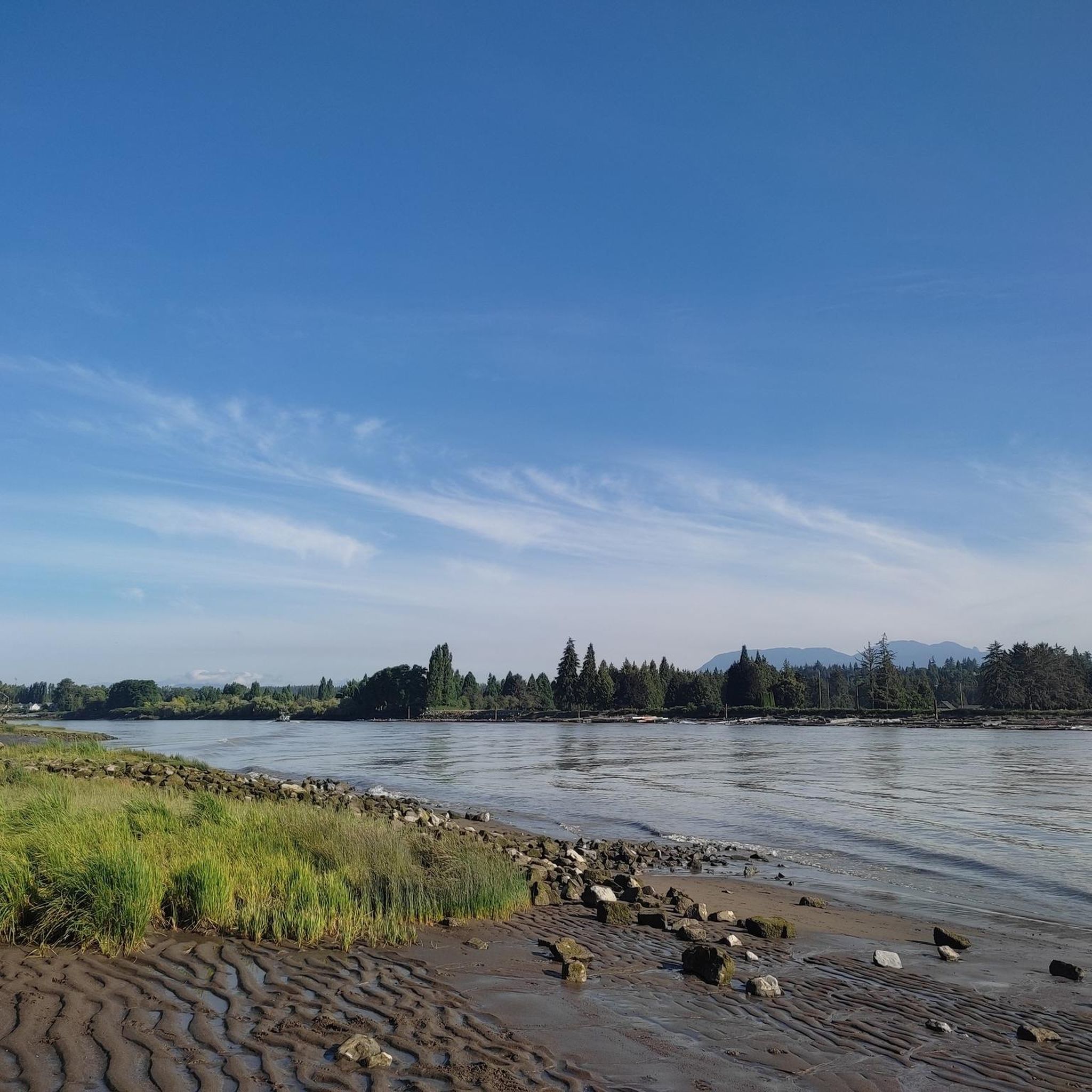
This 5.5-kilometer multi-use trail follows along the middle arm of the Fraser River and passes through or by a number of parks, sculpture gardens, and viewpoints. It also connects with the West Dyke Trail at its western end if you're looking to do a longer excursion.
0
0

You can find a mix of flat gravel trails connecting a boardwalk and wildlife viewing area, community garden, playground and restrooms. The small spiral trail up a low hill on the west side of the park is a great spot from which to watch the sunset.
1
0
This park has well-maintained easy walking trails, clean restrooms, and panoramic views of the Fraser River and open ocean to the east. In the spring you can come here to see the orchard of cherry blossom trees lining the path.
0
0

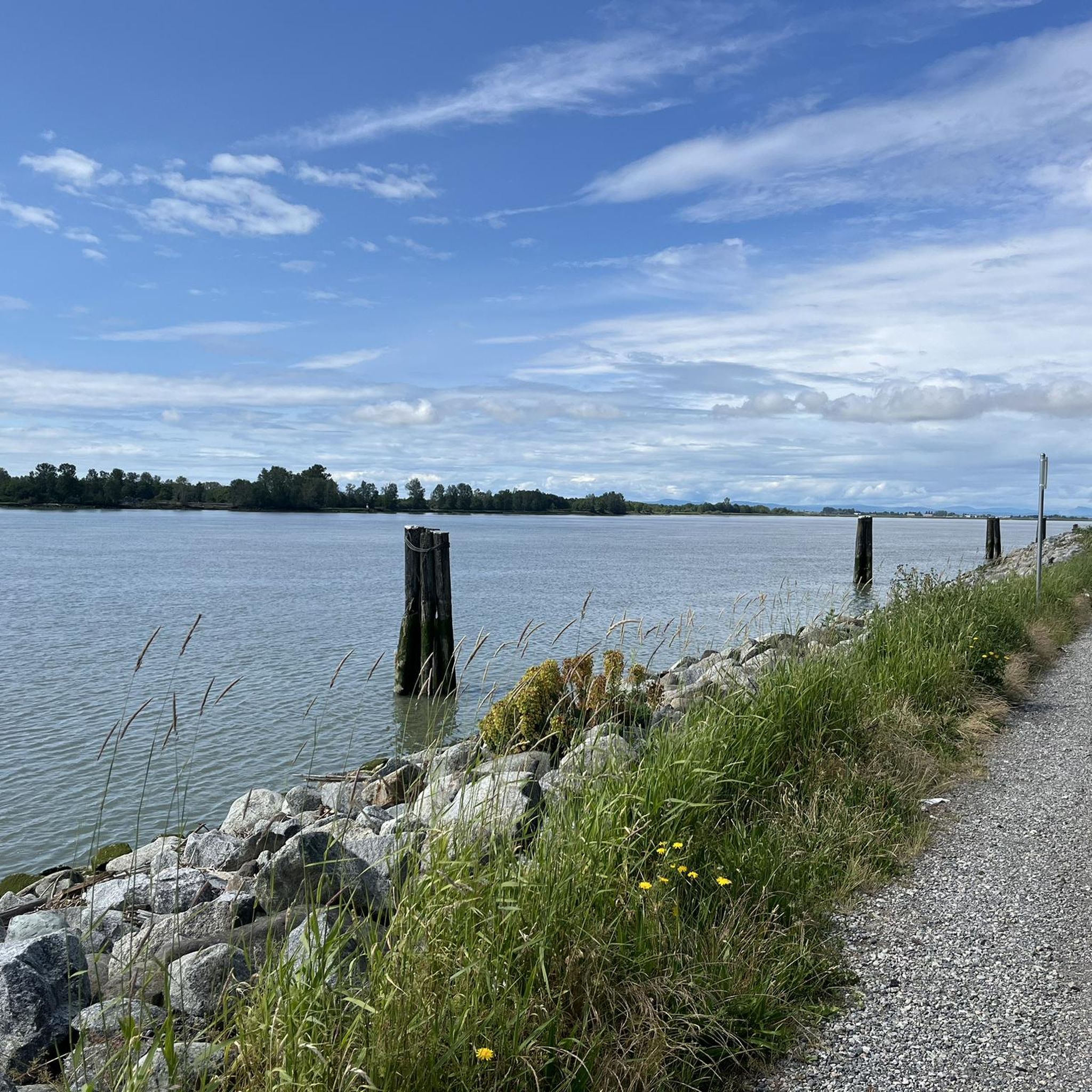
The West Dyke Recreational Trail runs along the west coast of Lulu Island, between Terra Nova Rural Park and Garry Point Park. It is entirely flat with a crushed gravel surface. It offers expansive views of the Sturgeon Banks estuary, where you'll see birds, cows, radio towers, as well as the Gulf Islands, Vancouver Island, and the North Shore mountains on a clear day. https://richmond.ca/parks-recreation/parks-trails-cycling/trails/trails-map/westdyke.htm
0
0

Tucked below the cliffs of Pacific Spirit Regional Park, Acadia Beach is a quiet stretch of shoreline overlooking Burrard Inlet. Driftwood logs, smooth stones, and views across to the North Shore make it a peaceful spot to rest after a forest walk on the Sword Fern Trail.
0
0
Frequently Asked Questions
How many touring cycling routes are available in Richmond?
Richmond offers a diverse selection of over 20 touring cycling routes. These routes cater to various skill levels, with 11 easy and 11 moderate options, ensuring there's a suitable ride for everyone.
Are there family-friendly touring cycling routes in Richmond?
Yes, Richmond is home to several family-friendly cycling options. The Virginia Capital Trail is an excellent choice, offering a paved, scenic, and historic ride suitable for all ages. Parts of the James River Park System also provide accessible sections for families.
Can I bring my dog on touring cycling routes in Richmond?
Many of Richmond's outdoor spaces are dog-friendly, especially on leash. Paved trails like the Virginia Capital Trail are generally suitable for cycling with a leashed dog. For other areas like the James River Park System, it's always best to check specific park regulations regarding pets on trails.
Are there any circular touring cycling routes in Richmond?
Yes, several routes in Richmond are designed as loops, offering convenient starting and ending points. For example, the Dyke Gravel Path – Steveston Fishermen's Memorial loop from Richmond–Brighouse is an easy 13.4-mile option, and the South Dyke Trail – Dyke Gravel Path loop from Richmond–Brighouse provides a moderate 18.9-mile ride through riverfront areas.
What kind of terrain can I expect on Richmond's touring cycling routes?
Richmond's touring cycling routes offer varied terrain. You'll find extensive paved paths like the Virginia Capital Trail, as well as natural surfaces within the James River Park System. Routes often follow scenic dyke paths along the waterfront, providing a mix of flat sections and gentle elevation changes, particularly on routes like the Dyke Gravel Path – Bridgeport Station loop from George Massey Tunnel.
What are some notable landmarks or natural features to see along the routes?
Richmond's routes are rich with sights. Along the Virginia Capital Trail, you'll encounter historic landscapes and views of the James River. The James River Park System offers stunning river views and access to places like Belle Isle. You can also explore nearby attractions such as Lost Lagoon or the Siwash Rock (Slhx̱í7lsh), which are accessible from some routes.
What do other touring cyclists enjoy most about cycling in Richmond?
The komoot community highly rates touring cycling in Richmond, with an average score of 4.6 stars from over 40 reviews. Cyclists often praise the diverse landscapes, from urban greenways to scenic riverfront paths, and the blend of natural beauty with historical significance. The well-maintained dyke paths and varied terrain are frequently highlighted.
Are there any easy touring cycling routes for beginners?
Absolutely. Richmond has 11 easy touring cycling routes perfect for beginners or those seeking a relaxed ride. A great option is the Dyke Gravel Path – Steveston Fishermen's Memorial loop from Richmond–Brighouse, which is 13.4 miles long and follows scenic dyke paths with minimal elevation.
Where can I find parking and public transport access for Richmond's cycling trails?
Parking is generally available at various access points for major trails like the Virginia Capital Trail and within the James River Park System. For public transport, Richmond's GRTC bus system serves many areas, and some routes may offer connections to trailheads. It's advisable to check specific trail access points for detailed parking information and public transport routes.
Are there cafes, pubs, or accommodation options near the cycling routes?
Yes, Richmond's vibrant city center and surrounding areas offer numerous cafes, pubs, and accommodation options. Many routes, especially those traversing urban sections or connecting to historic districts, will have amenities nearby. The Virginia Capital Trail, for instance, passes through areas with access to local establishments, and the James River Park System is close to downtown Richmond's offerings.
What is the best time of year to go touring cycling in Richmond?
Spring and fall are generally considered the best times for touring cycling in Richmond. The weather is mild, and the natural scenery is at its peak with blooming flowers or vibrant fall foliage. Summer can be hot and humid, while winter can bring colder temperatures, though many trails remain accessible year-round.
Are there any longer, more challenging touring cycling routes in Richmond?
For those looking for a longer ride, the Dyke Gravel Path – Bridgeport Station loop from George Massey Tunnel offers a moderate 27.3-mile journey with extended sections along the dyke. Another moderate option is the Spanish Banks West Beach – Jericho Beach Park loop from Richmond–Brighouse, which spans nearly 31 miles and includes more significant elevation changes.
Most popular routes around Richmond
Most popular attractions around Richmond

Get inspired with the komoot mobile app


Explore more
Browse the best Cycling routes in other regions.
