The best walks and hikes around Nanaimo G
4.5
(154)
1,091
hikers
24
hikes
Hiking trails around Nanaimo G offer a diverse range of landscapes, blending coastal views with lush temperate rainforests and mountainous terrain. The region features trails along the Strait of Georgia, through dense forests with waterfalls, and up to elevated viewpoints. This varied geography provides opportunities for different types of outdoor exploration.
Best hiking trails around Nanaimo G
- The most popular hiking route is Englishman River Regional Park loop, a 4.8 miles (7.8 km) trail that takes 2 hours 2…
Last updated: November 4, 2026
4.6
(10)
41
hikers
7.80km
02:03
60m
60m
Moderate hike. Good fitness required. Easily walkable paths.
5.0
(1)
12
hikers
11.1km
02:51
60m
60m
Moderate hike. Good fitness required. Easily walkable paths.

7
hikers
4.03km
01:05
50m
50m
Easy hike. Easily walkable paths.
3
hikers
4.13km
01:07
50m
50m
Easy hike. Easily walkable paths.
2
hikers
1.98km
00:31
10m
10m
Easy hike. Easily walkable paths.
Get access to more routes and recommendations from other explorers.
Already have an account?
Our route recommendations are based on thousands of hikes, rides, and runs completed by other people on komoot.
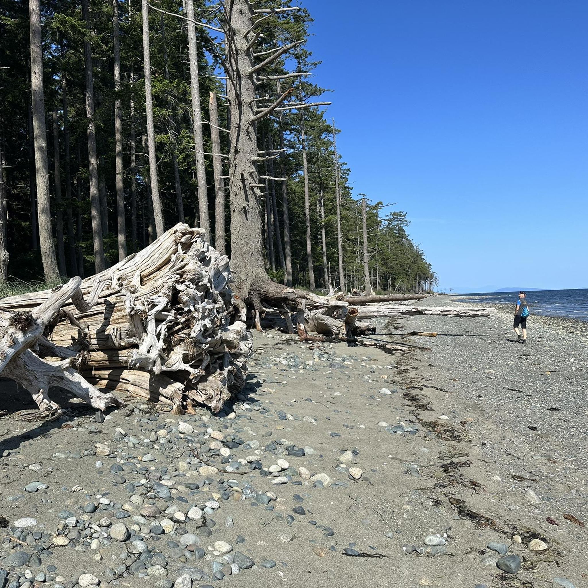
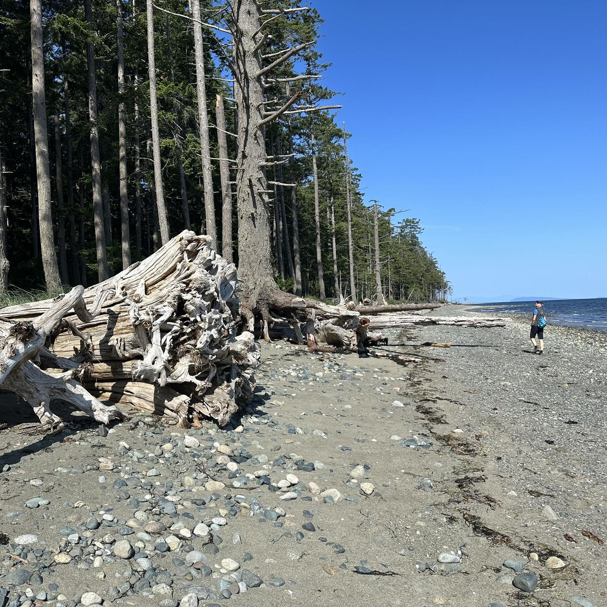
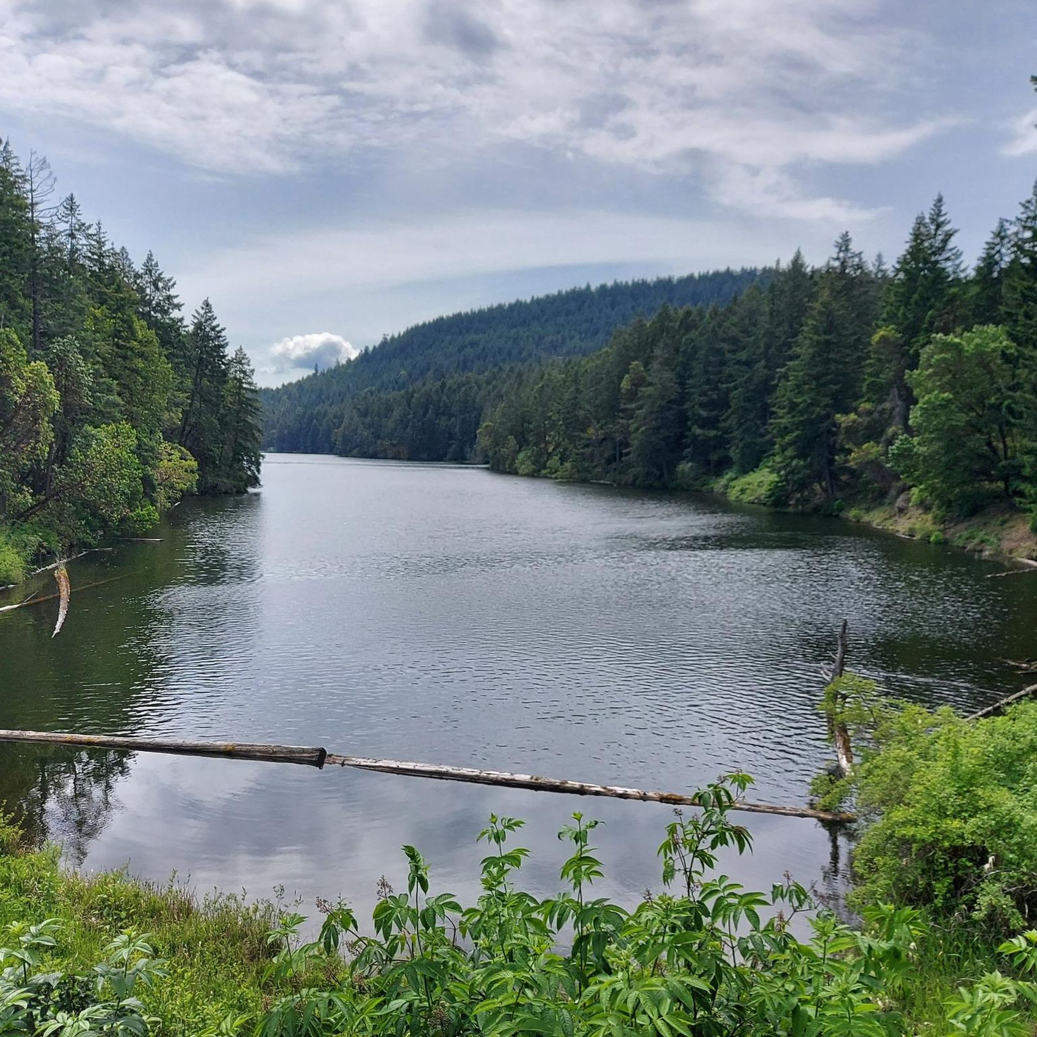
Tips from the Community

The Englishman River Estuary offers an easy, flat trail through one of Parksville’s richest wildlife areas. Expect views of the river, salt marsh, forest, and ocean. If you're lucky, you might even spot some of the 250 bird species found here, including, notably, the Pacific Brant Goose. The trail can get muddy, so choose footwear accordingly.
0
0

The Top Bridge Regional Trail follows a former railway corridor through the Englishman River valley, linking Parksville with the surrounding countryside. The wide, well-graded route passes through mature forest, crosses scenic bridges, and provides easy access to the river, making it popular with walkers, cyclists, and runners alike. As part of the larger Parksville–Qualicum Active Transportation Network, it's an enjoyable way to experience the area's natural beauty without tackling steep terrain. There is no fee to use the trail.
0
0
Flowing for around 40 kilometres from the Beaufort Range to the Strait of Georgia, the Englishman River is one of central Vancouver Island's most important waterways. It supports runs of salmon and trout, provides drinking water for the surrounding communities, and has carved the rocky pools and sandstone ledges that make Top Bridge Park such a popular place to explore. On warm days, the clear water draws swimmers, while year-round it's an excellent spot to pause and enjoy the river from the trails or suspension bridge
0
0
Parking here is simply along the side of Middlegate Road, with a handful of informal roadside spaces scattered on both sides of the road near the trailhead. There isn't a dedicated parking lot, but there are usually enough spots for around four or five vehicles. Arriving earlier in the day is your best bet, especially on weekends, and from here it's only a short walk to the trails leading down to the Englishman River.
0
0
Channel Trail follows one of the most scenic sections of the Englishman River, where the water has carved a network of channels through the riverbed over thousands of years. The trail winds through mature Douglas-fir forest before reaching viewpoints overlooking the river's braided flow, gravel bars, and rocky formations. The combination of rushing water, towering trees, and ever-changing river scenery makes this one of the standout sections of Englishman River Regional Park.
0
0

The Spawning Channel is also known as the C.W. Young Side Channel, Englishman River Spawning and Rearing Channel. It's man-made, built originally in the 1990s and is responsible for producing up to 40% of the river's coho salmon, while also helping support steelhead, cutthroat trout, chum, chinook, and pink salmon to reproduce. Each species of salmon has a run there at different times of the year, like pink salmon run in July and August, Chinook in September, and chum and coho peak from October through November.
0
0
Top Bridge stretches 81 meters across the Englishman River, with awesome views of the clear green river below. There is a sandstone canyon below and a swimming hole where, on hot summer days, there are often bright-coloured tubes dotting the water, and cliff jumpers splashing down below.
0
0
The Englishman River Trail traces the Englishman River through lush forests, with beautiful views of the river's shores. There are some small bridges and short boardwalks to get over potentially muddy sections, and the end section of trail can sometimes get overgrown, but it's a great way to explore the river and connects with multiple other trails in Englishman River Regional Park.
0
0
Frequently Asked Questions
How many hiking trails are available around Nanaimo G?
There are over 15 hiking routes available around Nanaimo G, catering to various preferences and skill levels. The komoot community has explored these trails extensively, with nearly 800 hikers using the platform to discover the area.
Are there family-friendly hiking options in Nanaimo G?
Yes, Nanaimo G offers several family-friendly trails. For an easy and gentle walk, consider the Little Qualicum River Hatchery Trail, which follows the river. Another short and accessible option is the Qualicum Beach Heritage Forest loop, perfect for a quick stroll through nature.
Can I find trails with waterfalls in the Nanaimo G area?
Absolutely. Nanaimo G is known for its lush forests and captivating waterfalls. Notable spots include Ammonite Falls in Benson Creek Falls Regional Park, famous for its unique rock formations. Beach Estates Park also features a stunning waterfall, and Colliery Dam Park offers trails around lakes with waterfalls like Granny Falls. You can also visit Qualicum Falls.
Are there any circular hiking routes around Nanaimo G?
Yes, many trails in Nanaimo G are designed as loops, offering varied scenery without retracing your steps. A popular moderate option is the Englishman River Regional Park loop. For an easier coastal experience, consider the Hiking loop from Rathtrevor Beach Provincial Park.
What kind of views can I expect on hikes in Nanaimo G?
Hiking around Nanaimo G offers a diverse range of views. You'll find stunning coastal vistas overlooking the Strait of Georgia and various islands, lush temperate rainforests with ancient trees, and elevated viewpoints providing panoramic scenes of Nanaimo and the ocean. Trails like those in Neck Point Park offer rugged shorelines and ocean views, while Mount Benson provides fantastic mountain vistas.
Are there any notable natural attractions or landmarks to see along the trails?
Yes, the Nanaimo G area is rich in natural attractions. You can explore unique sandstone formations at Jack Point and Biggs Park, or visit the famous Ammonite Falls. For impressive trees, check out The Big Tree (Douglas-fir) in MacMillan Provincial Park or the Cathedral Grove Trail. You might also find a pleasant Swimming Spot at Englishman River.
What do other hikers enjoy most about the trails in Nanaimo G?
The trails in Nanaimo G are highly rated by the komoot community, with an average score of 4.6 stars. Reviewers often praise the diverse landscapes, from coastal paths with ocean views to serene forest trails and the presence of beautiful waterfalls. The variety of options for different skill levels is also frequently highlighted.
Are there trails suitable for advanced hikers in Nanaimo G?
While many trails are easy to moderate, more challenging options exist for advanced hikers. Mount Benson, for instance, offers a more strenuous ascent rewarded with fantastic views. The region's diverse terrain ensures there are routes that provide a good workout and elevation gain.
Can I bring my dog on the hiking trails in Nanaimo G?
Many parks and trails in Nanaimo G are dog-friendly, though leash regulations vary. Popular spots like Neck Point Park, Jack Point, and Piper's Lagoon are generally welcoming to dogs. Always check local signage or park websites for specific rules regarding pets before heading out.
Are there any trails that offer coastal or ocean views?
Nanaimo G is renowned for its coastal trails. Neck Point Park provides sweeping ocean vistas and rugged shorelines, while Jack Point and Biggs Park offer scenic walks along the Nanaimo River estuary with views of Departure Bay. Piper's Lagoon also features rocky bluffs and scenic lookouts over the water.
What is the best time of year to hike in Nanaimo G?
Nanaimo G offers hiking opportunities year-round due to its mild climate. Spring brings lush greenery and blooming wildflowers, while summer is ideal for enjoying coastal trails and swimming spots. Fall showcases vibrant foliage, and even winter hiking is possible on many trails, though conditions can vary, especially at higher elevations like Mount Benson.
Are there any trails that feature lakes?
Yes, Westwood Lake features a popular 6 km loop trail around its sparkling waters, offering scenic views of Mount Benson in the background. Colliery Dam Park also has trails built around two small lakes, providing a peaceful setting for a walk.
Most popular attractions around Nanaimo G

Get inspired with the komoot mobile app


Explore more
Browse the best Hikes in other regions.
