The best road cycling routes around Area B (Shawnigan Lake)
4.8
(29)
793
riders
37
rides
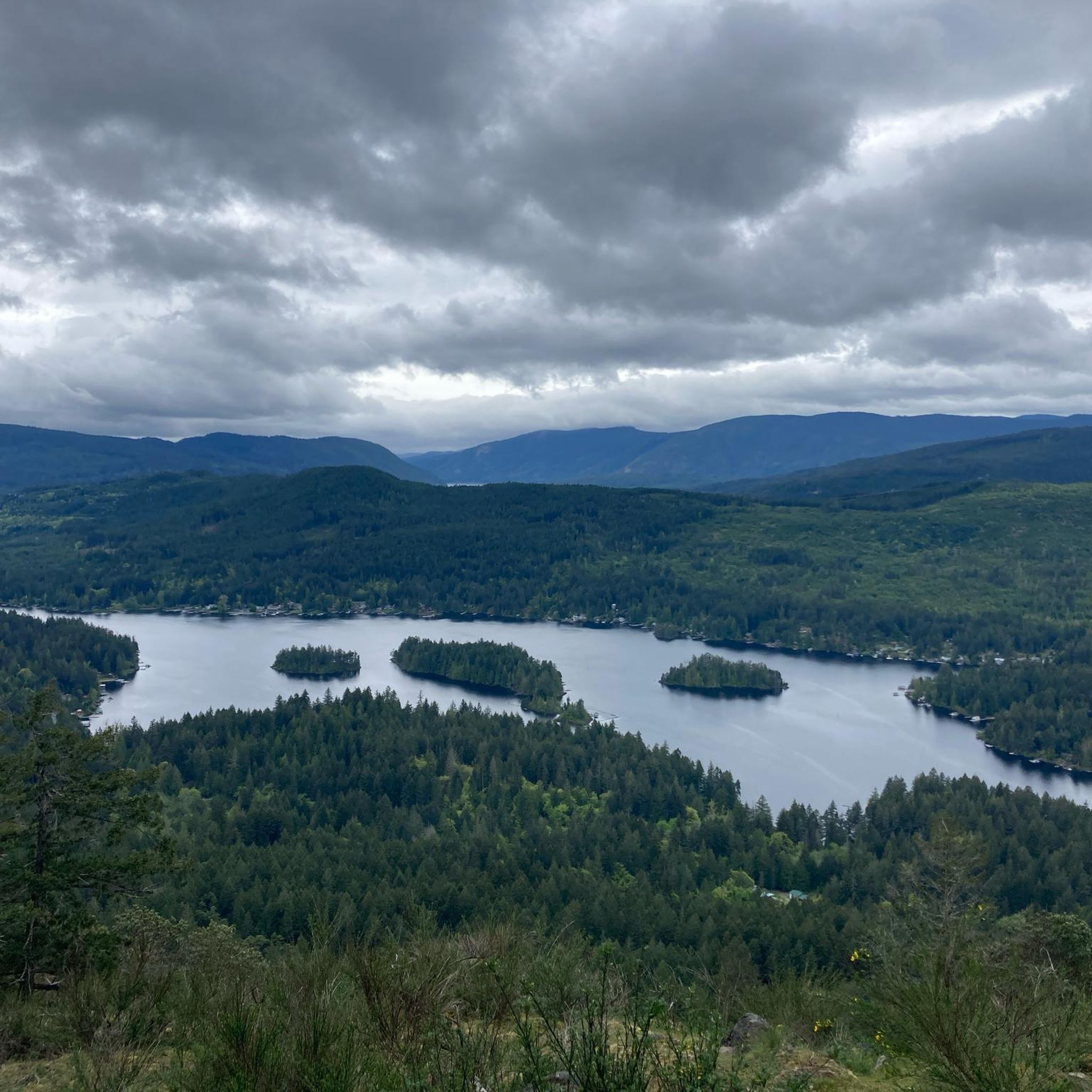
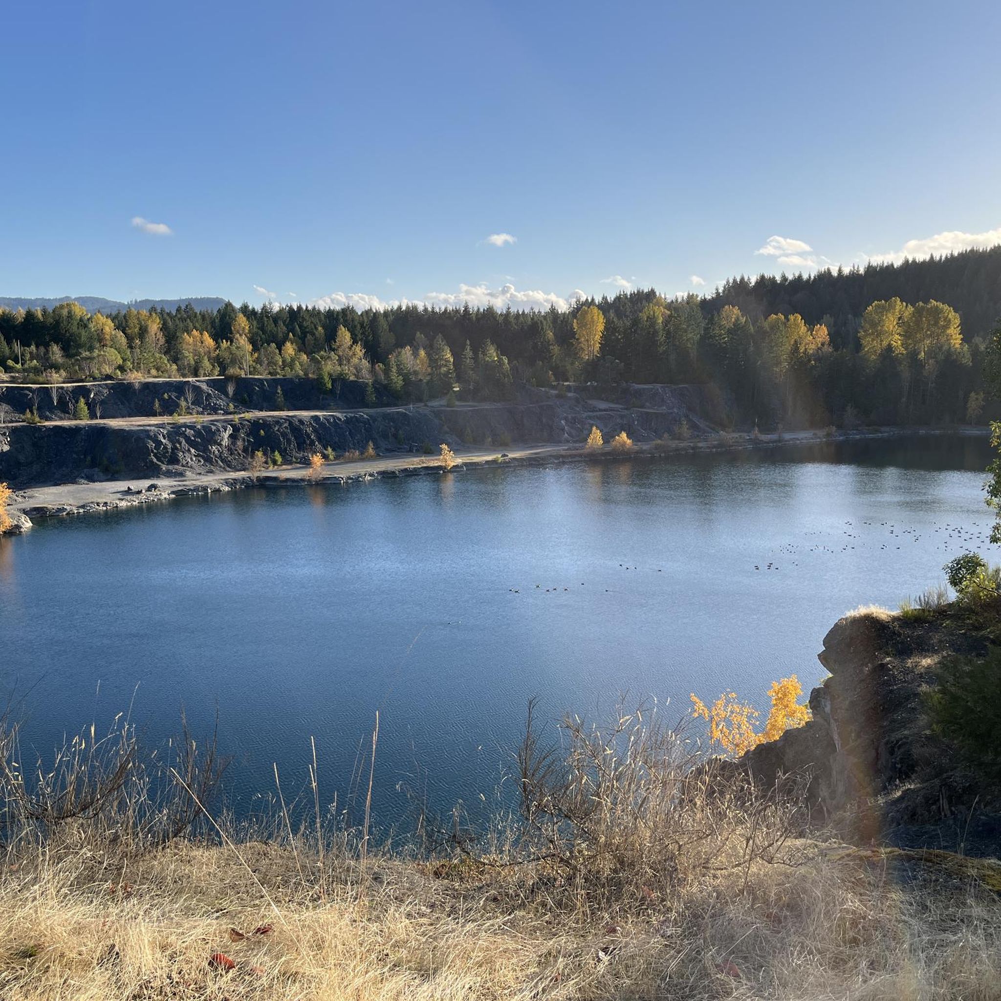
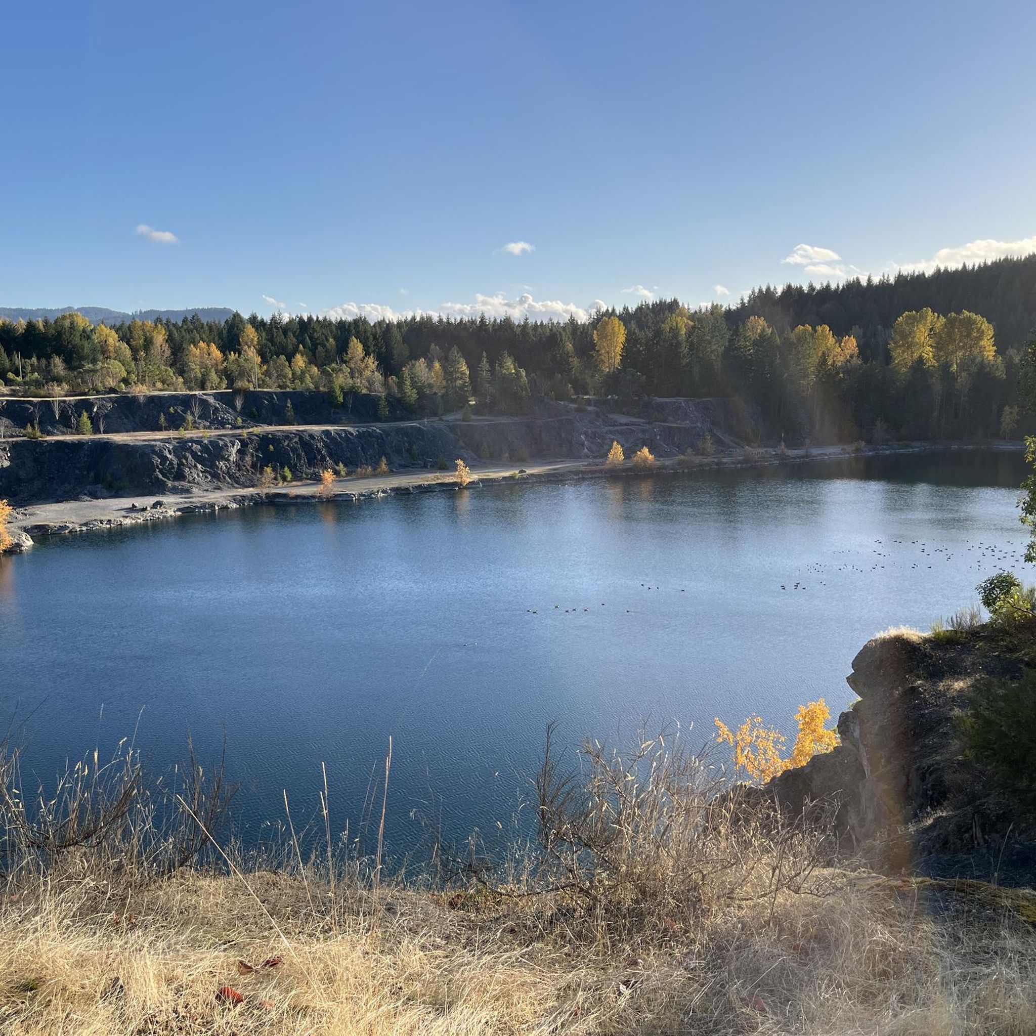
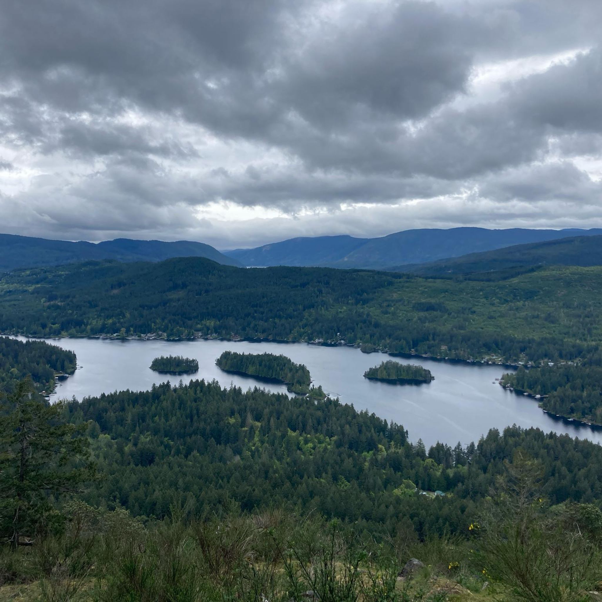
Best road cycling routes Shawnigan Lake offer diverse terrain for cyclists, characterized by the expansive Shawnigan Lake, ancient Douglas fir forests, and a network of quiet rural roads. The region features a mix of paved surfaces and well-maintained trails, including sections of the Trans Canada Trail. Cyclists can navigate routes with varying elevation gains, from gentle lakeside paths to more challenging climbs through forested areas. This landscape provides a rich setting for road cycling, combining natural beauty with accessible routes.
Best road cycling routes around Area B (Shawnigan Lake)
- The most popular road cycling route is Pat Bay Cycle Path – Patricia Bay Park loop from Madrona at Cromar, a 39.2 miles (63.0 km) trail that takes 2 hours 58 minutes to complete. This moderate route offers scenic views along the Pat Bay Cycle Path.
- Another top favourite among local road cyclists is Shawnigan Creek Nature Park loop from Mill Bay, a moderate 30.3 miles (48.7 km) path. This route winds through natural parkland and offers a mix of forested and open sections.
- Local road cyclists also love the Shawnigan Creek Nature Park loop from West Shawnigan Lake Provincial Park, a 14.0 miles (22.6 km) trail leading through Shawnigan Creek Nature Park, often completed in about 1 hour 1 minute.
- Road cycling around Area B (Shawnigan Lake) is defined by the large Shawnigan Lake, the historic Kinsol Trestle, and extensive Douglas fir forests. The route network offers options for various ability levels, from moderate rides to more challenging loops.
- The routes in Area B (Shawnigan Lake) are highly rated by the komoot community with an average score of 4.6 from over 20 reviews. More than 600 road cyclists have used komoot to explore Area B (Shawnigan Lake)'s varied terrain.
Last updated: October 8, 2026
4.3
(3)
16
riders
48.7km
02:15
480m
480m
Moderate road ride. Good fitness required. Mostly well-paved surfaces and easy to ride.
12
riders
22.6km
01:01
200m
200m
Moderate road ride. Great for any fitness level. Some segments of this route may be unpaved and difficult to ride.

5.0
(3)
12
riders
27.5km
01:31
220m
220m
Moderate road ride. Great for any fitness level. Some segments of this route may be unpaved and difficult to ride.
10
riders
37.2km
01:58
340m
340m
Moderate road ride. Good fitness required. Some segments of this route may be unpaved and difficult to ride.
5.0
(2)
3
riders
60.7km
03:12
670m
670m
Moderate road ride. Good fitness required. Some segments of this route may be unpaved and difficult to ride.
Get access to more routes and recommendations from other explorers.
Already have an account?
Our route recommendations are based on thousands of hikes, rides, and runs completed by other people on komoot.
Start today with a free account
Your next adventure awaits.

Other adventures around Area B (Shawnigan Lake)

Tips from the Community

Evans Park is a large sports park complex with baseball diamonds and multi-sport fields, and is one of the Cowichan Valley’s main venues for organized recreation. There are seven ball fields, and lots of open green space where you’ll likely see a local game in progress while you’re here. Despite its sports focus, the surrounding open areas and pathways are a great place for a casual walk around the fields.
0
0
Patricia Bay Park is a quiet waterfront spot in North Saanich with open views of the Saanich Inlet and easy access to the paved Scoter Trail. There are picnic tables, restrooms, and a small beach area, making it a lovely place to stop for lunch or take a break. It’s low-key and family-friendly, perfect for birdwatching, a short walk, or just sitting by the water.
2
0

Buy tickets on board the ferry, or at local Thrifty Foods supermarkets. The eastern terminal at Brentwood Bay has a few businesses, including Seahorses Café which is immediately next to the dock. At the western Mill Bay terminal, the closest services are on the Trans-Canada Highway.
0
0

All information of the ferry on the picture. Always place for cyclists. For more tips & tricks find us on YouTube & Instagram
0
1

Pay with cash or credit at the dock before loading. Public washrooms about 100m away from dock entrance.
0
0

A small DAY USE only park providing a sanctuary for Douglas fir forest, as well as lakeside beach access on the northwest shores of Shawnigan Lake. This popular summer recreation area offers a wealth of outdoor activities, including swimming, paddling and fishing in the trout-stocked waters. Park facilities include pit toilets, picnic tables and short walking trails. Park staff arrive at sunset to close the park and ensure nobody is camping.
0
0

Really good views over the lake and plenty of tables to have lunch at or a snack
0
0
Frequently Asked Questions
How many road cycling routes are available around Area B (Shawnigan Lake)?
There are over 35 road cycling routes around Area B (Shawnigan Lake) for you to explore. These routes range from moderate to challenging, offering diverse experiences for different skill levels.
What kind of terrain and difficulty can I expect on road cycling routes around Shawnigan Lake?
The terrain around Shawnigan Lake offers a diverse mix, from mostly paved surfaces to sections of the Trans Canada Trail that can include unpaved segments. You'll find routes with varying elevation gains, from gentle lakeside paths to more challenging climbs through forested areas. While most routes are moderate, some loops incorporating the Kinsol Trestle and the full length of Shawnigan Lake can be quite challenging, requiring good fitness.
Are there any notable landmarks or natural features to see while road cycling in Area B (Shawnigan Lake)?
Absolutely! The region is rich in natural beauty and historical sites. You can cycle past the expansive Shawnigan Lake, through ancient Douglas fir forests, and over the impressive Kinsol Trestle, one of the largest wooden trestle bridges in the world. Other highlights include the Niagara Falls Trail and Goldstream Falls in nearby Goldstream Provincial Park, or the stunning Butchart Gardens.
Are there family-friendly road cycling routes suitable for all ages around Shawnigan Lake?
Yes, there are options suitable for families. Look for routes with less elevation gain and mostly paved surfaces. Areas around Shawnigan Lake Provincial Park or sections of the Trans Canada Trail that are well-maintained and flatter can be good choices. For example, the Shawnigan Creek Nature Park loop from West Shawnigan Lake Provincial Park is a moderate 22.6 km trail that offers a pleasant ride through natural parkland.
What do other road cyclists enjoy the most about road cycling in Area B (Shawnigan Lake)?
The area is highly rated by the komoot community, with an average score of 4.6 from over 20 reviews. Cyclists often praise the diverse terrain, the scenic views of Shawnigan Lake, and the opportunity to ride through quiet rural roads and ancient Douglas fir forests. The well-maintained trails and the presence of iconic landmarks like the Kinsol Trestle are frequently highlighted.
Are there any circular road cycling routes around Shawnigan Lake?
Yes, many of the road cycling routes around Shawnigan Lake are designed as loops, allowing you to start and end at the same point. These loops often incorporate the lake itself or sections of the Cowichan Valley Trail, providing varied scenery and distances. For instance, the Shawnigan Creek Nature Park loop from Mill Bay is a popular circular route.
Where can I find parking for road cycling routes in Area B (Shawnigan Lake)?
Parking is generally available at various points around the lake and near trailheads. West Shawnigan Lake Provincial Park and Shawnigan Wharf Park offer parking facilities. For routes like the Pat Bay Cycle Path – Patricia Bay Park loop from Madrona at Cromar, you might find parking near the starting points in communities like Madrona or Brentwood Bay.
What is the best time of year for road cycling around Shawnigan Lake?
The spring, summer, and early fall months generally offer the most pleasant conditions for road cycling around Shawnigan Lake. During these seasons, you can expect milder temperatures and less precipitation, making for more enjoyable rides. The vibrant natural landscapes are also at their peak beauty.
Are there options for challenging road cycling routes in the Shawnigan Lake area?
Yes, for experienced cyclists seeking a challenge, Area B offers routes with significant elevation gains and longer distances. Loops that incorporate the full length of Shawnigan Lake and sections of the Trans Canada Trail can provide demanding rides. While most routes are moderate, the cumulative elevation on longer loops will test your fitness.
Can I combine road cycling with other activities like visiting cafes or pubs in Area B (Shawnigan Lake)?
Absolutely! The region has a charming rural character with communities like Cobble Hill known for its picturesque landscape, vineyards, and wineries. Many routes pass through or near these areas, offering opportunities to stop at local cafes, pubs, or even wineries for a break and refreshment. Shawnigan Lake village also provides amenities for cyclists.
Are there any specific permits required for road cycling on trails around Shawnigan Lake?
Generally, no specific permits are required for road cycling on the public roads and designated trails like the Trans Canada Trail sections around Shawnigan Lake. However, it's always a good idea to check for any local regulations or temporary closures, especially if venturing into specific park areas or private lands.
What are some of the longer road cycling routes available in the area?
For those looking for longer rides, routes like the Pat Bay Cycle Path – Patricia Bay Park loop from Madrona at Cromar cover approximately 63 km. Another substantial option is the Shawnigan Creek Nature Park loop from Mill Bay, which is around 48.7 km, offering extended time on the saddle through varied scenery.
Most popular routes around Area B (Shawnigan Lake)
Most popular attractions around Area B (Shawnigan Lake)

Get inspired with the komoot mobile app


Explore more
Browse the best Road cycling routes in other regions.
