The best road cycling routes around Central Saanich
4.8
(53)
1,515
riders
38
rides
Road cycling around Central Saanich offers diverse landscapes across the Saanich Peninsula. The region features a generally flat terrain, characterized by peaceful, rural countryside, rolling farmlands, and serene natural features. Cyclists can explore marine shorelines, agricultural areas with vineyards, and dedicated cycling infrastructure like the Lochside Regional Trail. The area provides a variety of routes suitable for different fitness levels.
Best road cycling routes around Central Saanich
- The most popular road cycling route is Pat Bay Cycle Path loop from Jimmy at Stautw, a 30.8 miles (49.6 km) trail that takes 2 hours 11 minutes to complete. This route offers varied scenery through rural areas on well-paved surfaces.
- Another top favourite among local road cyclists is Inner Harbour, Victoria – Lochside Regional Trail loop from Tanner at Marie Meadows, a moderate 48.2 miles (77.5 km) path. This route connects to other regional cycling routes and features diverse landscapes.
- Local road cyclists also love the Pat Bay Cycle Path loop from Island View at Highway 17, a 13.2 miles (21.2 km) trail leading through the Pat Bay Cycle Path area, often completed in about 49 minutes.
- Road cycling around Central Saanich is defined by rural farmlands, marine shorelines, and dedicated cycle paths. The network offers options for easy and moderate ability levels.
- The routes in Central Saanich are highly rated by the komoot community with an average score of 4.6 stars from over 36 reviews. More than 450 road cyclists have used komoot to explore Central Saanich's varied terrain.
Last updated: October 4, 2026
5.0
(1)
129
riders
45.2km
02:15
320m
320m
Moderate road ride. Good fitness required. Some segments of this route may be unpaved and difficult to ride.
4.0
(3)
118
riders
45.7km
01:59
240m
240m
Moderate road ride. Great for any fitness level. Some segments of this route may be unpaved and difficult to ride.

23
riders
21.2km
00:49
80m
80m
Easy road ride. Great for any fitness level. Mostly well-paved surfaces and easy to ride.
5.0
(3)
12
riders
27.5km
01:31
220m
220m
Moderate road ride. Great for any fitness level. Some segments of this route may be unpaved and difficult to ride.
5.0
(2)
12
riders
22.4km
01:04
250m
250m
Easy road ride. Great for any fitness level. Mostly well-paved surfaces and easy to ride.
Get access to more routes and recommendations from other explorers.
Already have an account?
Our route recommendations are based on thousands of hikes, rides, and runs completed by other people on komoot.
Start today with a free account
Your next adventure awaits.
Tips from the Community

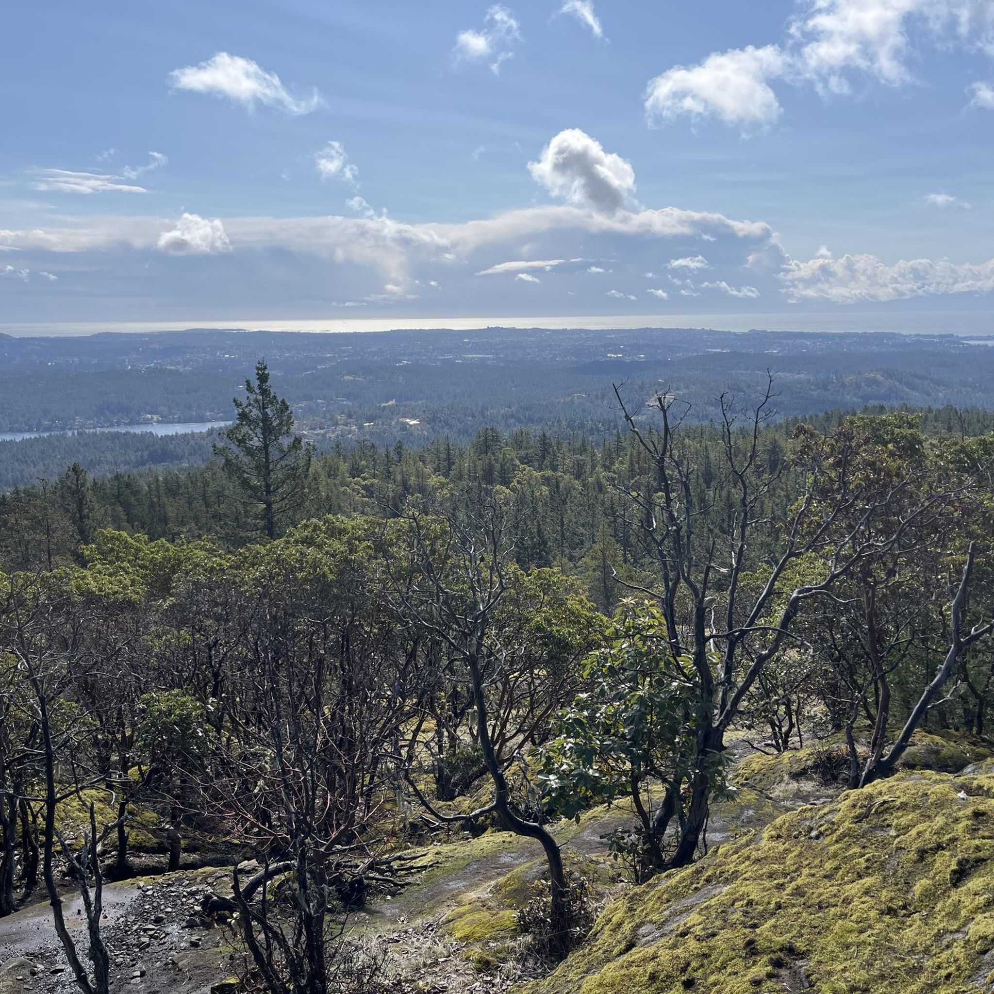
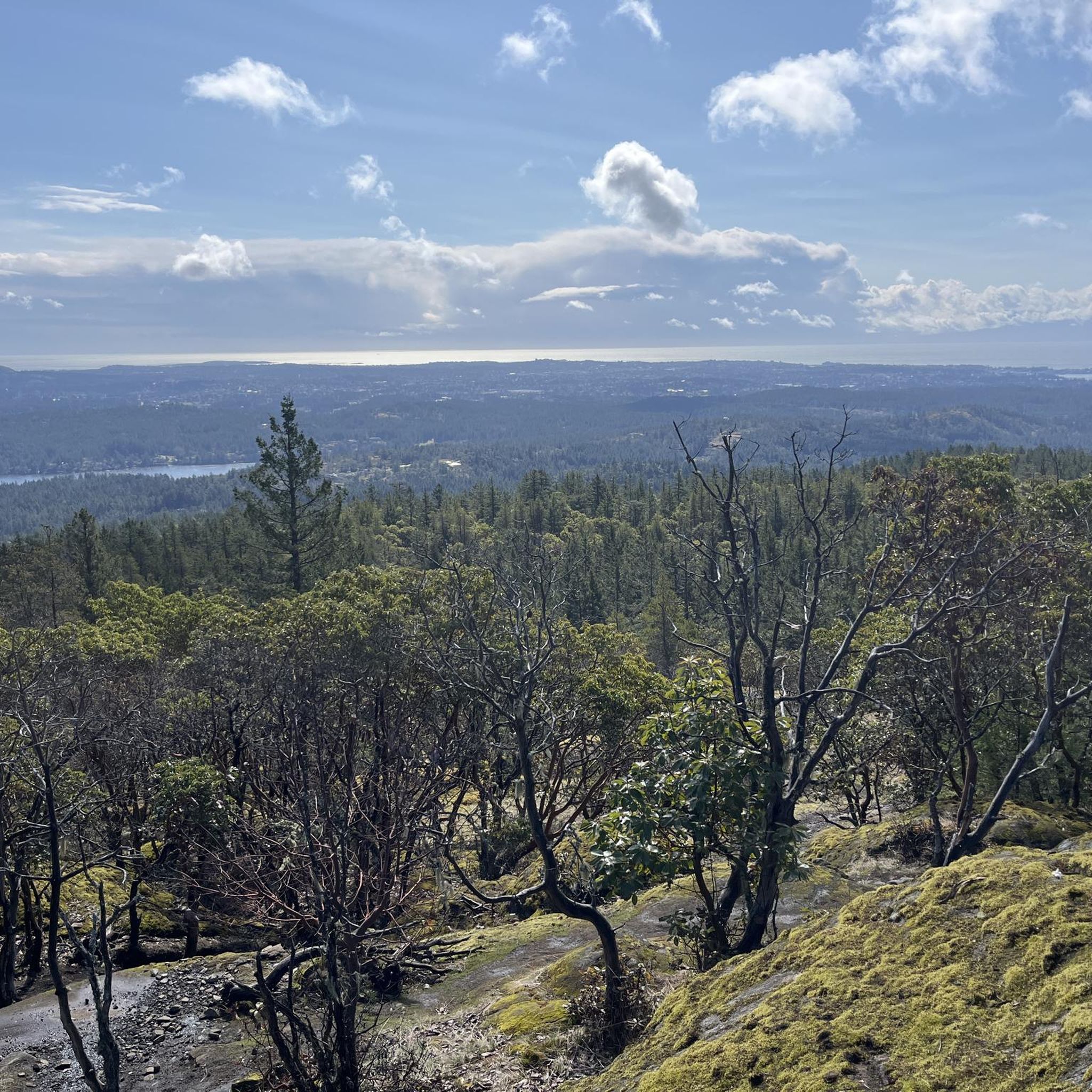
Known as PKOLS in the SENĆOŦEN language, this culturally significant hill has been an important gathering place for the W̱SÁNEĆ and Lekwungen peoples for thousands of years. Today, the park protects some of the rarest Coastal Douglas-fir ecosystems in Canada, with a network of trails winding through forest, rocky outcrops, and Garry oak habitats. The North and South Ridge trails offer a great introduction to the park, combining beautiful forest walking with occasional views toward the Salish Sea and surrounding islands. Make sure to stay on designated trails to help protect the park's fragile ecosystems.
0
0

This trailhead sits on the west side of Wallace Drive, just north of Brentwood Bay and has limited roadside parking. From here, a gently sloped trail continues toward Tod Creek and Tod Inlet.
0
0

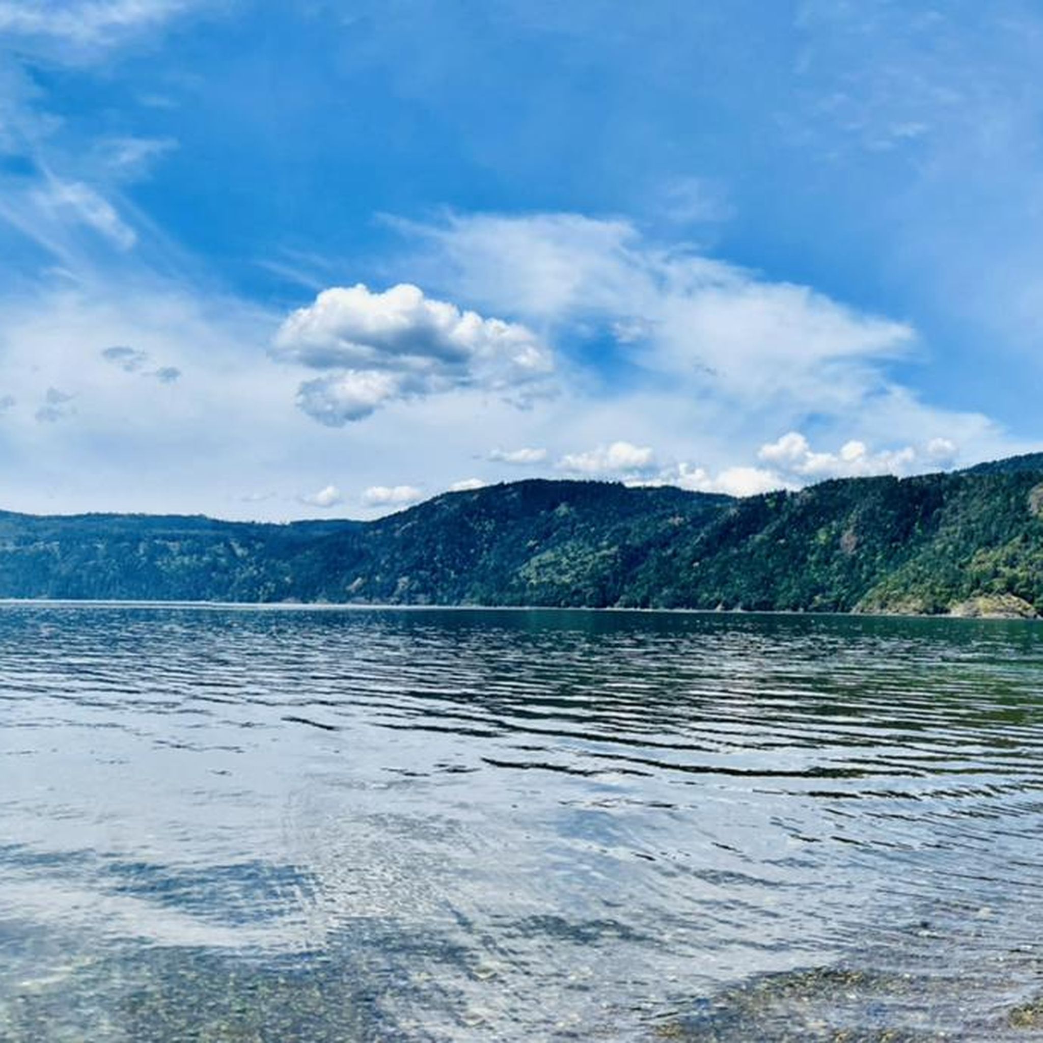
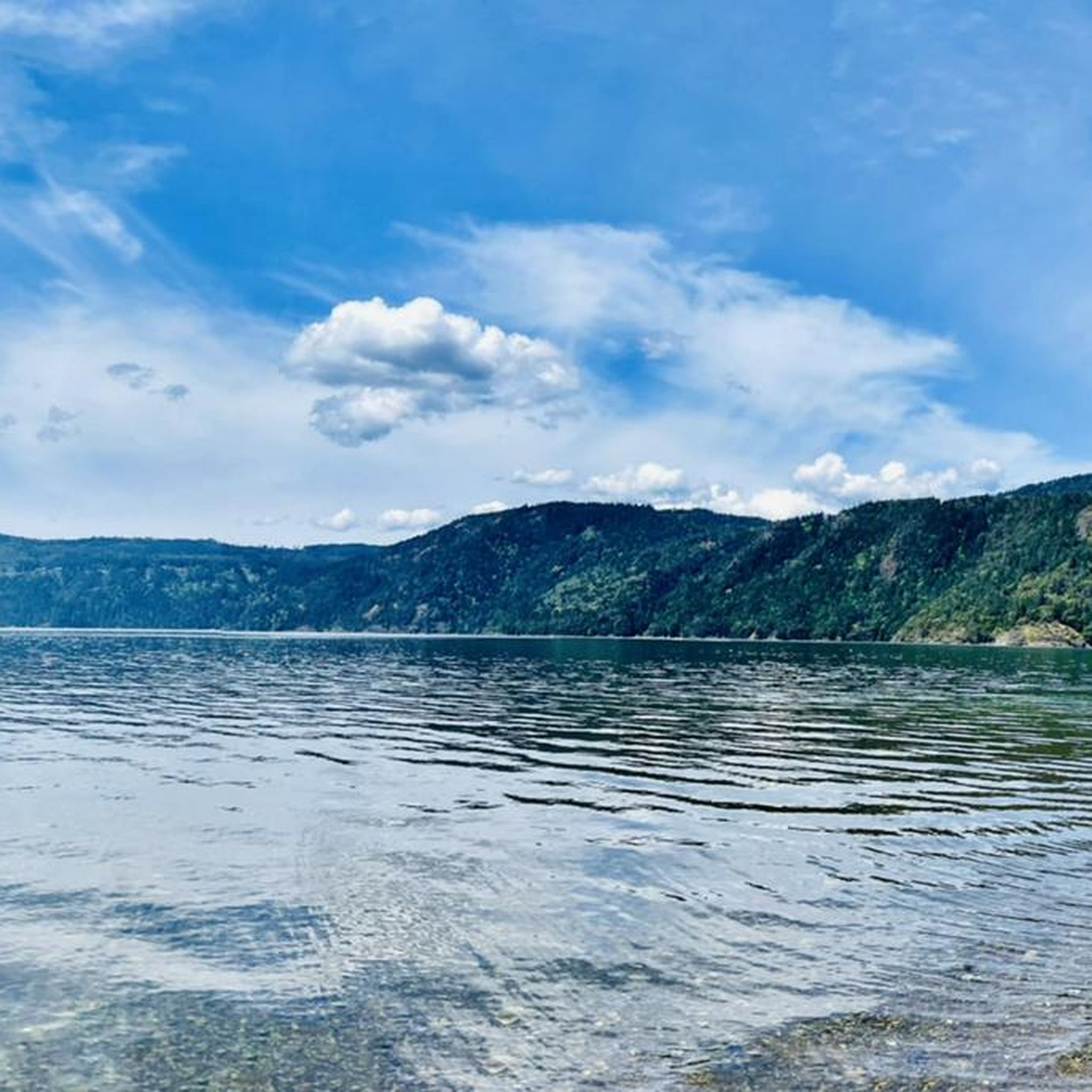
Patricia Bay Park is a quiet waterfront spot in North Saanich with open views of the Saanich Inlet and easy access to the paved Scoter Trail. There are picnic tables, restrooms, and a small beach area, making it a lovely place to stop for lunch or take a break. It’s low-key and family-friendly, perfect for birdwatching, a short walk, or just sitting by the water.
2
0

Let's you stay off the roads and bypass downtown Sidney if you are just travelling through though Sidney does have some great bakeries and coffee stops
0
0

Buy tickets on board the ferry, or at local Thrifty Foods supermarkets. The eastern terminal at Brentwood Bay has a few businesses, including Seahorses Café which is immediately next to the dock. At the western Mill Bay terminal, the closest services are on the Trans-Canada Highway.
0
0

All information of the ferry on the picture. Always place for cyclists. For more tips & tricks find us on YouTube & Instagram
0
1

Pay with cash or credit at the dock before loading. Public washrooms about 100m away from dock entrance.
0
0
Test Highlight - this was a nice gravel path part of the trail...and cuts off all hills!
0
0
Frequently Asked Questions
What is the typical terrain for road cycling in Central Saanich?
Central Saanich offers generally flat terrain, making it accessible for various fitness levels. You'll experience a mix of peaceful, rural countryside, rolling farmlands, and serene natural features. Dedicated cycling infrastructure like the Lochside Regional Trail and Pat Bay Cycle Path provide well-paved surfaces, while other routes explore quiet country roads.
Are there road cycling routes suitable for beginners or families in Central Saanich?
Yes, Central Saanich has several easy road cycling options. For instance, the Pat Bay Cycle Path loop from Island View at Highway 17 is an easy 13.2-mile (21.2 km) trail, often completed in about 49 minutes, providing a gentle ride through the Pat Bay Cycle Path area.
What kind of natural features and landscapes can I expect to see while road cycling in Central Saanich?
Road cycling in Central Saanich offers diverse scenery. You can expect to see breathtaking beaches, expansive rolling farmlands, vineyards, and quiet country roads with scenic views of oceans, creeks, trees, and fields. The region is also home to significant marine shorelines and various parks, including those with towering conifers and rare ecosystems.
Are there any notable landmarks or attractions along the road cycling routes in Central Saanich?
Yes, several routes pass by or are near interesting attractions. You might cycle past areas close to Patricia Bay Park, offering open views of the Saanich Inlet. The world-renowned Butchart Gardens is also located on the Saanich Peninsula, providing a stunning visual experience nearby.
What is the best time of year for road cycling in Central Saanich?
The region's mild climate makes it appealing for year-round outdoor activities. However, spring through fall generally offers the most pleasant conditions for road cycling, with comfortable temperatures and less chance of rain, allowing you to fully enjoy the diverse landscapes.
How many road cycling routes are available in Central Saanich?
There are over 35 road cycling routes available around Central Saanich, catering to various skill levels. These include 16 easy routes and 23 moderate routes, ensuring options for both casual riders and those seeking a longer challenge.
What do other road cyclists enjoy most about road cycling in Central Saanich?
The area is highly rated by the komoot community, with an average score of 4.6 stars from over 45 reviews. Cyclists often praise the diverse landscapes, from rural farmlands and vineyards to marine shorelines, and the dedicated cycle paths like the Lochside Regional Trail, which offer scenic and enjoyable rides.
Are there any long-distance road cycling routes in Central Saanich?
For those looking for longer rides, the Lochside Regional Trail – Inner Harbour, Victoria loop from John Dean Park is a moderate 50.2-mile (80.9 km) route. Another substantial option is the Inner Harbour, Victoria – Lochside Regional Trail loop from Tanner at Marie Meadows, which covers 48.2 miles (77.5 km).
Can I find circular road cycling routes in Central Saanich?
Yes, many road cycling routes in Central Saanich are designed as loops, allowing you to start and end at the same point. Examples include the Pat Bay Cycle Path loop from Jimmy at Stautw, a moderate 30.8-mile (49.6 km) path, and the The Fickle Fig Bakery – Patricia Bay Park loop from Brentwood Bay, a 16.9-mile (27.2 km) moderate ride.
Are there places to stop for refreshments or food along the road cycling routes?
While specific cafes and pubs are not detailed for every route, the Saanich Peninsula is known for its charming semi-rural areas with local farms, wineries, and breweries. Cycling through these areas, especially along routes like the Lochside Trail, often provides opportunities to visit local establishments for refreshments.
Is public transport available to access road cycling routes in Central Saanich?
Central Saanich is actively investing in its active transportation network, and public transport options with bike access are generally available in the Greater Victoria area. It's advisable to check local transit schedules and bike policies for specific bus routes that connect to the trailheads or cycling infrastructure.
Where can I find parking for road cycling trails in Central Saanich?
Many popular trailheads and parks in Central Saanich, such as those near the Lochside Regional Trail or Pat Bay Cycle Path, offer designated parking areas for visitors. For specific routes, it's recommended to check the starting point for available parking facilities.
Most popular attractions around Central Saanich

Get inspired with the komoot mobile app


Explore more
Browse the best Road cycling routes in other regions.
