The best walks and hikes around Comox Valley B (Lazo North)
4.6
(31)
349
hikers
15
hikes
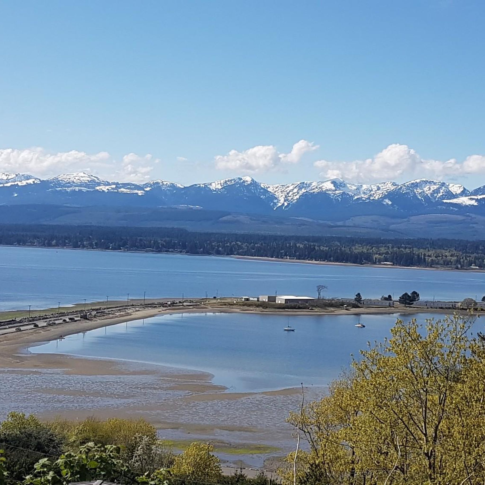
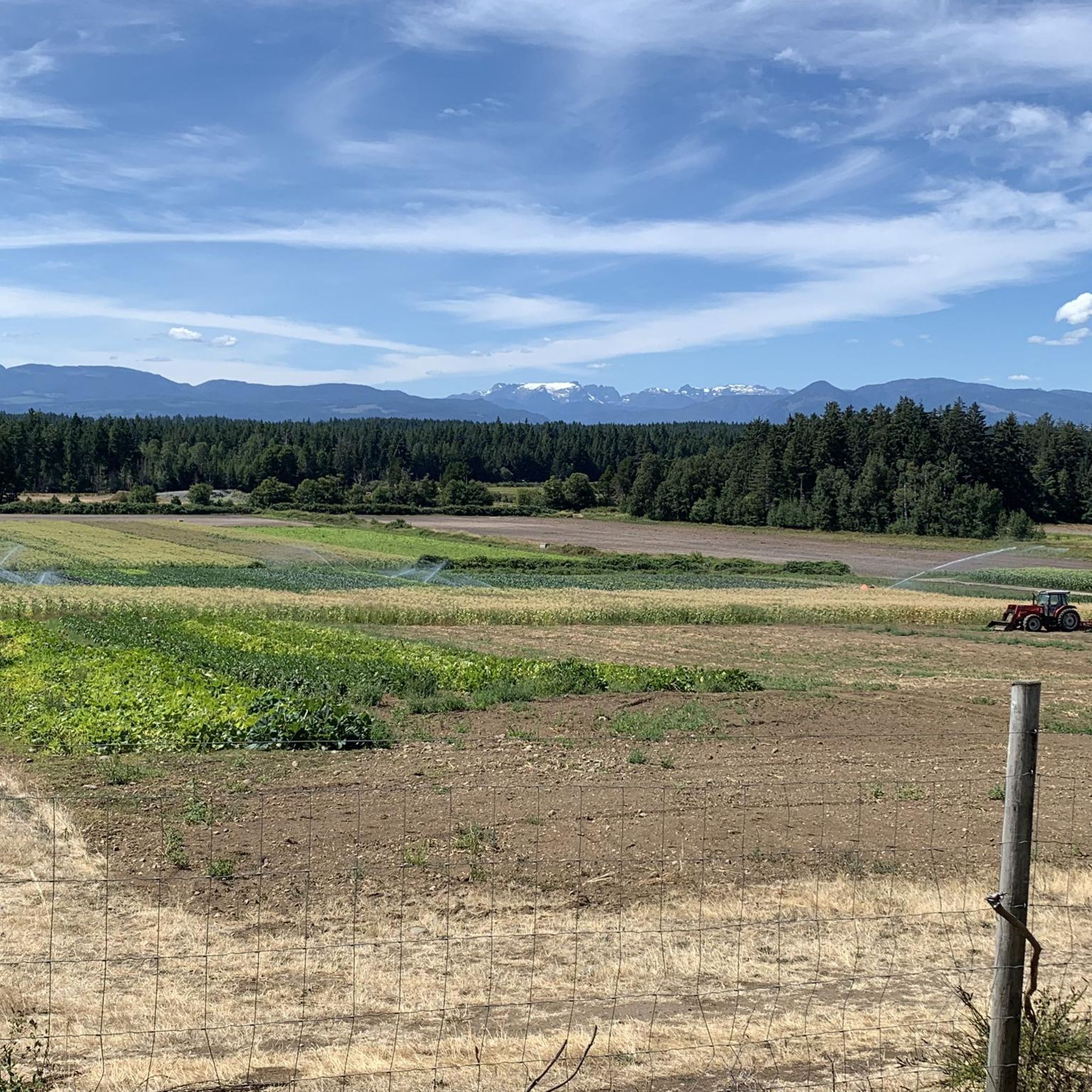
Hiking around Comox Valley B (Lazo North) offers diverse natural landscapes, from coastal paths to extensive forest explorations. The region is characterized by significant river systems like the Puntledge River, which features Nymph Falls, and vast regenerated secondary forests such as Seal Bay Nature Park and the Northeast Woods. Terrain includes well-maintained trails suitable for varied abilities, with gentle elevations across parks and coastal areas. This area provides access to both serene woodland environments and scenic coastal vistas.
Best hiking trails around Comox Valley B (Lazo North)
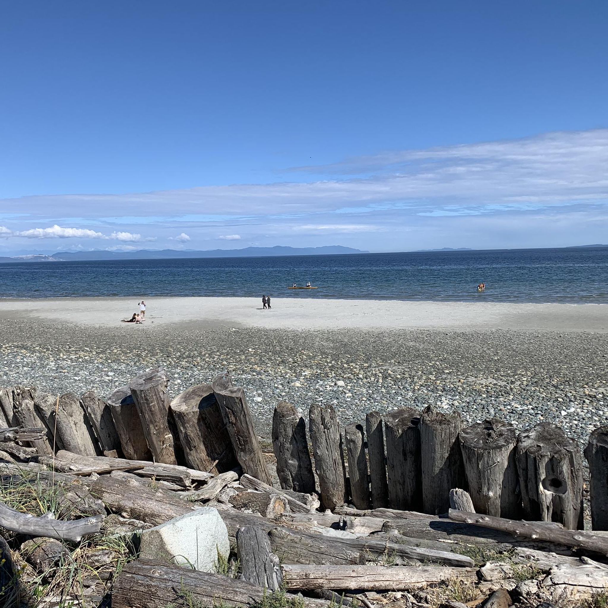
- The most popular hiking route is Air Force Beach — Courtenay, a 2.9 miles (4.6 km) trail that takes 1 hour 13 minutes to complete. This easy route offers access to coastal scenery and beach areas.
- Another top favourite among local hikers is Sandwick Park loop, an easy 1.7 miles (2.8 km) path. This short loop provides a pleasant walk through a local park setting, typically completed in about 45 minutes.
- Local hikers also love the Seal Bay – Seal Bay Regional Nature Park loop from Seal Bay Regional Nature Park, a 5.5 miles (8.8 km) trail leading through extensive regenerated forests and wetlands, often completed in about 2 hours 23 minutes.
- Hiking around Comox Valley B (Lazo North) is defined by coastal paths, dense woodlands, and river systems. The network offers options for different ability levels, from easy strolls to moderate forest explorations.
- The routes in Comox Valley B (Lazo North) are highly rated by the komoot community with an average score of 4.9 stars from over 25 reviews. More than 250 hikers have used komoot to explore Comox Valley B (Lazo North)'s varied terrain.
Last updated: September 28, 2026
5.0
(2)
37
hikers
9.80km
02:34
80m
80m
Moderate hike. Good fitness required. Easily-accessible paths. Suitable for all skill levels.
8
hikers
7.84km
02:00
30m
30m
Moderate hike. Good fitness required. Easily-accessible paths. Suitable for all skill levels.

3
hikers
4.60km
01:13
40m
40m
Easy hike. Great for any fitness level. Easily-accessible paths. Suitable for all skill levels.
3
hikers
4.41km
01:11
50m
50m
Easy hike. Great for any fitness level. Easily-accessible paths. Suitable for all skill levels.
6.11km
01:36
50m
50m
Easy hike. Great for any fitness level. Easily-accessible paths. Suitable for all skill levels.
Get access to more routes and recommendations from other explorers.
Already have an account?
Our route recommendations are based on thousands of hikes, rides, and runs completed by other people on komoot.
Start today with a free account
Your next adventure awaits.

Tips from the Community

Comox North East Woods is a protected forest shaped by residents who resisted development plans in the 1990s and helped secure the land for conservation. With additional forest and trails leased by K’ómoks First Nation for public recreation, the area protects a rich mix of habitats, from wetlands and riparian zones to rare sand dune plant communities and old-growth upland forest.
0
0
Lazo Marsh is a year-round wildlife haven, shaped by decades of conservation and habitat restoration. Once protected from hunting by local farmer Bert Marriot, the marsh is now a rich wetland where trumpeter swans, frogs, wood ducks and mergansers all find shelter. It also sits within BC’s rare Coastal Douglas-fir ecosystem, making this a fascinating place to walk slowly, listen carefully and watch the water come alive.
0
0

This easy packed dirt path takes you through a spacious woodland of matchstick fir trees. The uniform size of the firs is strong visual evidence that the area was logged in the recent past.
0
0
The trail is an easy packed dirt and pine needle path wide enough to walk two abreast. All the trails in Seal Bay Regional Nature Park are very well maintained, and the signage is very clear at every junction.
0
0
New trail signs have been installed that use the Coast Salish language of the K’ómoks First Nation, called aýaĵuθəm. In aýaĵuθəm, the forest loop is called ʔayigən, pronounced "eye-eee-gin".
0
0

Extended Horse Bike Trail is one of the multi-use routes through the west side of Seal Bay Regional Nature Park, where wider paths and gentler terrain make it suitable for walking, mountain biking, and horseback riding. Unlike the steeper beach access trails on the east side of Bates Road, this route stays mostly level as it winds through open forest and connects with other horse and bike trails in the park.
0
0
Catch Up Loop is a short connector trail that curves through gently rolling terrain, and can be an easy addition to longer walks through the park. It connects to several nearby trails, perfect for creating shorter or more flexible loop options. The trail sees lighter traffic than some of the others in this section of the park, making it a great choice for a quieter stretch away from the main beach-bound routes.
0
0
Seal Bay Regional Nature Park is a large protected coastal forest north of Courtenay, with over 14 kilometres of trails that wind through second-growth woodland, wetlands, and shoreline along the Salish Sea. Known for its mix of quiet forest trails and beach access, the park includes stands of Douglas fir, western red cedar, and hemlock, with opportunities to spot birds, seals, and other wildlife along the coast. The park is an ideal place for walking, trail running, and enjoying spending time outdoors in a beautiful, peaceful setting.
0
0
Frequently Asked Questions
How many hiking trails are available in Comox Valley B (Lazo North)?
Comox Valley B (Lazo North) offers a good selection of hiking opportunities, with over a dozen trails to explore. These range from easy strolls to more moderate forest explorations, catering to various preferences and fitness levels.
What is the general difficulty level of hiking trails in Comox Valley B (Lazo North)?
The majority of trails in Comox Valley B (Lazo North) are considered easy, with 13 out of 16 routes falling into this category. There are also 3 moderate trails for those seeking a bit more challenge, but no difficult routes are listed, making the area accessible for most hikers.
Are there any waterfalls to visit while hiking in Comox Valley B (Lazo North)?
Yes, the region is home to the impressive Nymph Falls within Nymph Falls Nature Park. This popular spot features cascades on the Puntledge River, and the park offers well-maintained trails, including a short, wheelchair-friendly path to the viewing area. Note that the water volume can decrease in summer due to hydroelectric diversion.
Where can I find coastal walks or trails with beach access?
For coastal experiences, you can explore trails like Air Force Beach — Courtenay, which offers access to scenic coastal areas. Other notable spots for coastal views and walks include Point Holmes and Goose Spit, which provide spectacular West Coast scenery and opportunities for wildlife viewing. Kye Bay is also a great beach destination.
Are there large parks or extensive forest areas for hiking in the region?
Absolutely. Seal Bay Nature Park is a significant natural area, larger than Vancouver's Stanley Park, offering over 40 kilometers of trails through regenerated secondary forests, wetlands, and coastal access. The Northeast Woods (Komox Lazo Forest Reserve) also provides extensive trails popular with hikers, mountain bikers, and dog owners, featuring dense forests and a large perimeter loop.
Are the hiking trails in Comox Valley B (Lazo North) suitable for families?
Yes, many trails are family-friendly, especially the numerous easy routes available. Nymph Falls Nature Park, for instance, has a short, wheelchair-friendly path to the waterfall, making it accessible for families with strollers. Parks like Sandwick Park loop also offer pleasant, shorter walks suitable for all ages.
Can I bring my dog on the hiking trails?
Yes, the region is generally dog-friendly. The Northeast Woods, in particular, are a favorite for dog owners, offering countless trails for peaceful walks with your canine companion. Always ensure to follow local leash laws and clean up after your pet.
Are there any circular hiking routes available?
Yes, Comox Valley B (Lazo North) features several circular routes. Examples include the Seal Bay – Seal Bay Regional Nature Park loop and the Seal Bay Nature Park loop, which take you through extensive forests. The Sandwick Park loop is another easy circular option, and the Northeast Woods also boast a large perimeter loop.
What do other hikers enjoy most about the trails in Comox Valley B (Lazo North)?
The area is highly rated by the komoot community, with an average score of 4.9 stars from over 25 reviews. Hikers often praise the diverse natural landscapes, from serene coastal paths to extensive forest explorations, and the well-maintained trail systems that cater to various abilities.
When is the best time of year to go hiking in Comox Valley B (Lazo North)?
Comox Valley B (Lazo North) offers hiking opportunities year-round. Spring and fall provide pleasant temperatures and vibrant scenery, while summer is ideal for enjoying coastal walks and potentially swimming. Winter hikes are also possible, though conditions may vary, especially around features like Nymph Falls where water volume can change seasonally.
Are there any trails with good viewpoints in the area?
While specific trails are not highlighted solely for viewpoints, the coastal areas like Point Holmes and Goose Spit offer spectacular West Coast scenery with views of the Comox Glacier, Mount Washington, and the Beaufort Mountains. Many forest trails also provide serene natural vistas within the dense woodlands.
What kind of wildlife might I encounter on the trails?
The diverse ecosystems of Comox Valley B (Lazo North), including forests, wetlands, and coastal areas, support various wildlife. You might spot birds, small mammals, and marine life along the coast. The region's commitment to preserving natural spaces ensures a rich environment for local fauna.
Most popular routes around Comox Valley B (Lazo North)
Most popular attractions around Comox Valley B (Lazo North)

Get inspired with the komoot mobile app


Explore more
Browse the best Hikes in other regions.
