The best MTB trails around Longumvannet
5.0
(6)
99
riders
7
rides
Mountain bike trails around Longumvannet are situated in the Arendal region of Norway, characterized by rugged hillsides, dense woodlands, and serene lakes. The terrain features varied ecosystems with significant elevation changes, providing both ascents and descents. Riders can expect to navigate around natural obstacles such as granite boulders and enjoy views of forested areas. The region offers diverse landscapes suitable for mountain biking.
Best mountain bike trails around Longumvannet
- The most popular mountain bike trail is Harbor View – Deer…
Last updated: August 10, 2026
5.0
(2)
43
riders
19.8km
01:57
240m
240m
Moderate mountain bike ride. Great for any fitness level. Advanced riding skills necessary.
5.0
(1)
7
riders
45.2km
02:43
450m
450m
Moderate mountain bike ride. Good fitness required. Suitable for all skill levels.

Sign up for free
3
riders
25.8km
02:00
340m
340m
Moderate mountain bike ride. Good fitness required. Advanced riding skills necessary.
5.0
(2)
3
riders
8.99km
00:54
160m
160m
Moderate mountain bike ride. Great for any fitness level. Advanced riding skills necessary.
5.0
(1)
32
riders
12.6km
01:09
140m
140m
Moderate mountain bike ride. Great for any fitness level. Advanced riding skills necessary.
Get access to more routes and recommendations from other explorers.
Sign up for free
Already have an account?
Our route recommendations are based on thousands of hikes, rides, and runs completed by other people on komoot.
Start today with a free account
Your next adventure awaits.
Login or Signup
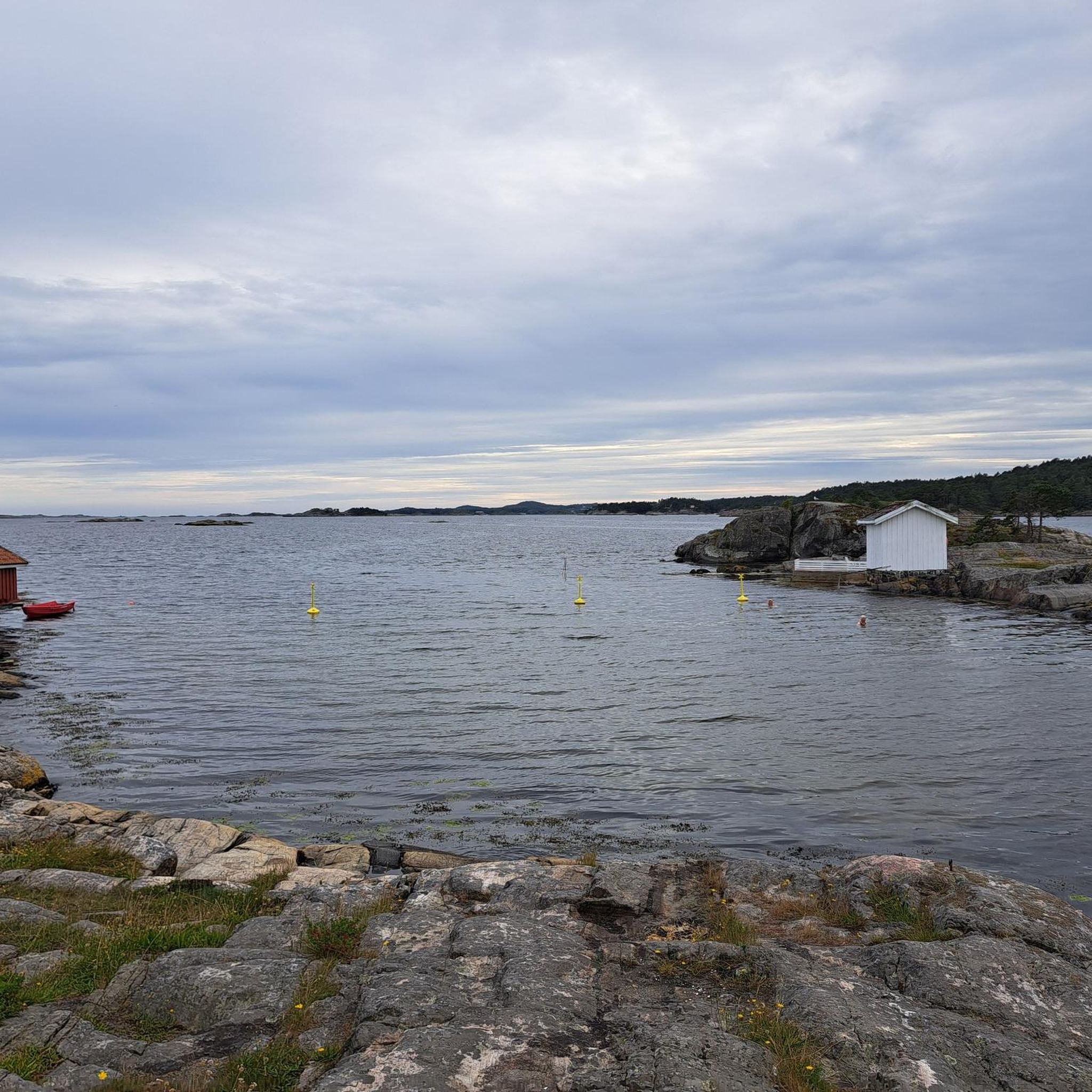
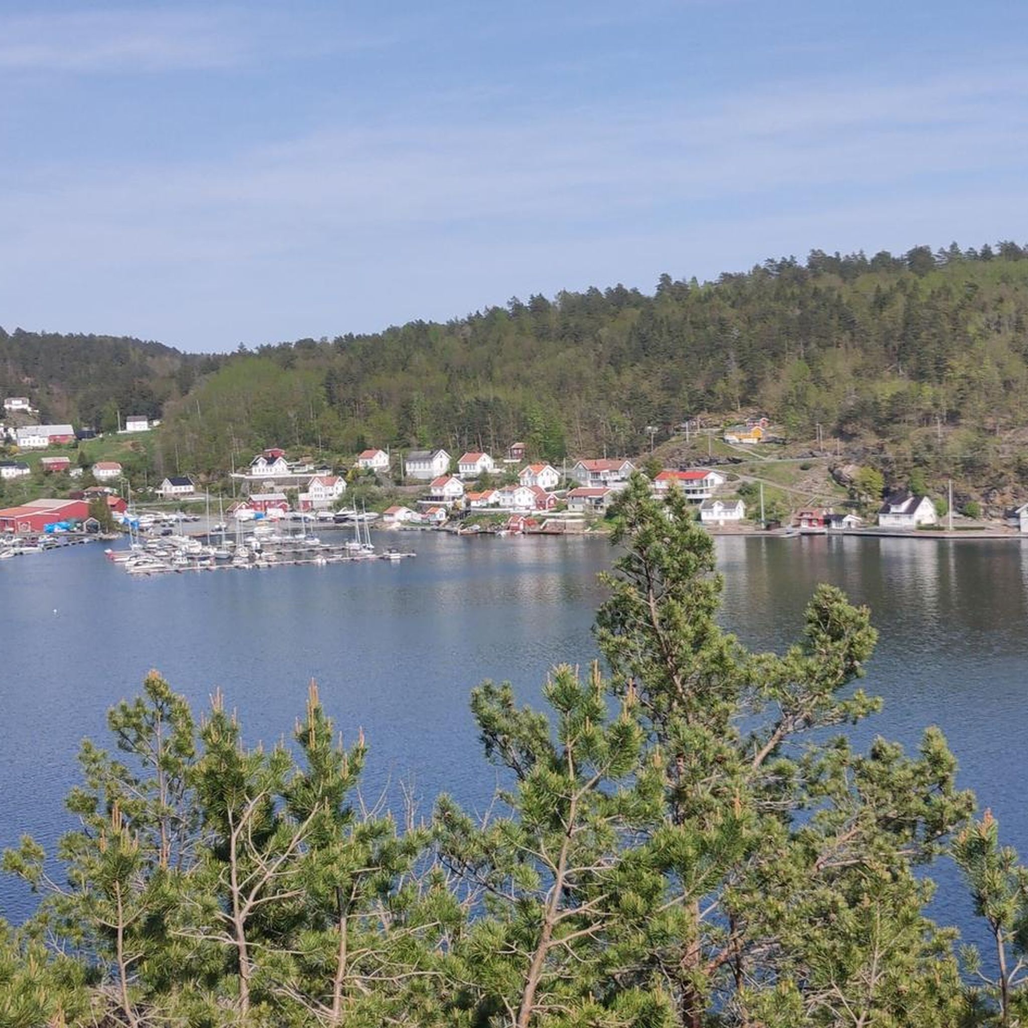
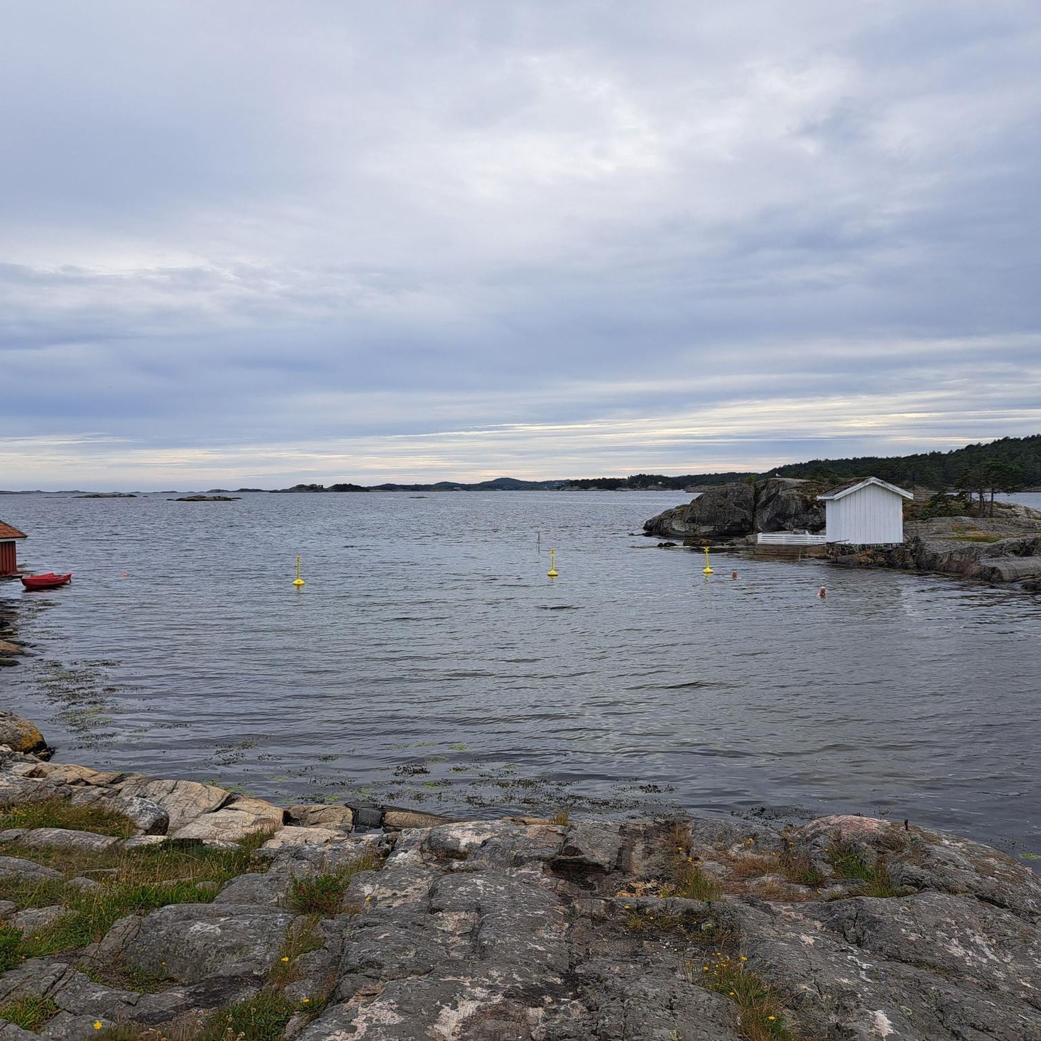

Tips from the Community

Whilst the south of Arendal is bordered by the sea, to the north lie forests and walking tracks. Here, you’ll find plenty of trails to wander along for hours in a sea of greenery.
0
0
Store Ribbervann is a peaceful lake surrounded by woodland. It is a popular spot for swimming, with its lovely beach. Hikers and anglers also enjoy the area.
0
0
Lille Ribbervann, as its name suggests, is the smaller of the two lakes in this system. It is wilder than the larger one. A walk there offers a greater sense of seclusion.
0
0

Worth seeing even in bad weather, perhaps even more so 😀
1
0

Hauslandsanden is a beautiful sandy beach in Fevik, conveniently located right next to the historic Strand Hotel. It is a favorite local spot for a quick swim and serves as a perfect resting point along the coastal hiking trail.
0
0


We got there just in time today. We were even allowed to admire a goal - but for the guest team.
0
0
Nice in the light! Many properties here have direct access to the sea.
0
0
Frequently Asked Questions
How many mountain bike trails are there around Longumvannet?
This guide features 7 mountain bike trails around Longumvannet, all rated as moderate. These routes offer a diverse experience through the region's varied landscapes.
What kind of terrain can I expect on the mountain bike trails near Longumvannet?
The terrain around Longumvannet is characterized by rugged hillsides, dense woodlands, and serene lakes. You can expect varied ecosystems with significant elevation changes, providing both challenging ascents and exhilarating descents. Riders often navigate around natural obstacles like granite boulders and enjoy scenic views of forested areas.
When is the best time of year to go mountain biking around Longumvannet?
The Arendal region, including Longumvannet, offers mild summers, making late spring through early autumn the most favorable time for mountain biking adventures. During these months, trail conditions are generally best, and the weather is pleasant for outdoor activities.
Are there any family-friendly mountain bike trails near Longumvannet?
While all routes in this guide are rated as moderate, the wider Arendal area offers diverse trails for various skill levels. For a shorter, more manageable ride that could be suitable for families with some biking experience, consider the Solbergvann loop from Stoa, which is 5.6 miles (9.0 km) and leads through woodlands and past Solbergvann lake.
Are there any circular mountain bike routes around Longumvannet?
Yes, many of the trails around Longumvannet are designed as loops. For example, the popular Harbor View – Deer Statue loop from Arendal is a 28.6-mile (46.1 km) circular route, and the Root and Rock Slab Trail loop from Arendal is a 15.5-mile (25.0 km) loop known for its technical sections.
What do other mountain bikers enjoy most about the trails near Longumvannet?
The mountain bike routes in Longumvannet are highly rated by the komoot community, with an average score of 5.0 stars. Reviewers often praise the varied terrain, which includes rugged hillsides, dense woodlands, and serene lakes, offering both challenging ascents and scenic views.
Are there any challenging mountain bike trails for experienced riders?
Yes, the Arendal region is known for challenging trails. The Root and Rock Slab Trail loop from Arendal, for instance, is a moderate route known for its technical sections with roots and rock slabs, offering a more demanding ride. The wider Arendal area, including networks like Tungvekteren, provides options for experienced riders seeking significant elevation changes and technical features.
What natural features or viewpoints can I see along the mountain bike trails?
The trails often wind through lush forests and open rocky areas, providing scenic views of forested landscapes and, in some cases, coastal scenery. You'll encounter natural obstacles like granite boulders and pass by tranquil lakes such as Solbergvann, as seen on the Solbergvann loop from Stoa.
Are there mountain bike trails near Raet National Park?
Yes, the Arendal region offers routes that incorporate areas near Raet National Park. The Raet National Park – Bjellandstranda loop from Eydehavn is a 44.3-mile (71.3 km) route that provides a mix of forest paths and lakeside vistas, allowing you to explore the natural beauty of the national park area.
What other outdoor activities are available near Longumvannet?
Beyond mountain biking, Longumvannet is a popular spot for fishing, with species like pike, common bream, perch, and eel. The landowners do not require fishing permits for the lake. There are also pleasant picnic areas by the water, offering a cozy spot for relaxation.
Is there parking available for mountain bikers near the trails?
While specific parking details for each trail may vary, many trailheads in the Arendal area, including those leading to the Tungvekteren network, are conveniently located and accessible by car. It's advisable to check the starting point of your chosen komoot tour for specific parking recommendations.
Can I access the mountain bike trails around Longumvannet using public transport?
Many trails in the wider Arendal area are conveniently located, with some starting points accessible from Arendal city center. While direct public transport to every trailhead might be limited, Arendal itself is a hub, and local bus services could get you close to some starting points. It's best to check local public transport schedules for routes connecting to specific trail access points.
Most popular routes around Longumvannet

Get inspired with the komoot mobile app


Explore more
Browse the best MTB trails in other regions.
