
The best cycling routes in the Cordillera Isabella
8
riders
3
rides
Touring cycling in the Cordillera Isabella offers challenging routes through a mountainous landscape. This region is characterized by significant elevation changes, providing demanding terrain for cyclists. The routes often feature substantial climbs and descents, making them suitable for experienced riders.
Best touring cycling routes in the Cordillera Isabella
- The most popular touring cycling route is Bar La Flore loop from Matagalpa, a 30.3 miles (48.7 km) trail that takes 4 hours 34 minutes to complete. This route features over…
Last updated: May 23, 2026
3
riders
51.4km
04:53
1,470m
1,470m
Hard bike ride. Very good fitness required. Mostly paved surfaces. Suitable for all skill levels.
3
riders
52.3km
04:48
1,200m
1,200m
Hard bike ride. Very good fitness required. Mostly paved surfaces. Suitable for all skill levels.

Sign up for free
2
riders
63.1km
04:56
1,700m
1,700m
Hard bike ride. Very good fitness required. Mostly paved surfaces. Suitable for all skill levels.
Our route recommendations are based on thousands of hikes, rides, and runs completed by other people on komoot.
Start today with a free account
Your next adventure awaits.
Login or Signup
Popular around Cordillera Isabella

Frequently Asked Questions
How many touring cycling routes are available in the Cordillera Isabella?
There are currently 3 touring cycling routes documented in the Cordillera Isabella on komoot. These routes are generally considered difficult due to significant elevation changes and challenging terrain.
What is the typical difficulty level for touring cycling in the Cordillera Isabella?
Touring cycling in the Cordillera Isabella is characterized by significant elevation changes, challenging climbs, and extensive distances. All routes listed are rated as difficult, making them suitable for experienced riders with good fitness levels. Some segments may be unpaved and require pushing your bike.
Are there any loop routes for touring cyclists in the Cordillera Isabella?
Yes, all the touring cycling routes in the Cordillera Isabella are loops. For example, you can explore the Bar La Flore loop from Matagalpa, which covers 30.3 miles with over 4,500 feet of elevation gain, or the Los Esteros loop from Matagalpa, a 32.5-mile path with over 3,900 feet of ascent.
What kind of landscapes can I expect to see while cycling in the Cordillera Isabella?
The Cordillera Isabella offers diverse and challenging landscapes. You'll cycle through tall mountains, dense forests, and deep valleys. The region is also known for its beautiful cloud forests and numerous coffee plantations, providing scenic views and cultural points of interest along the way.
What is the longest touring cycling route in the Cordillera Isabella?
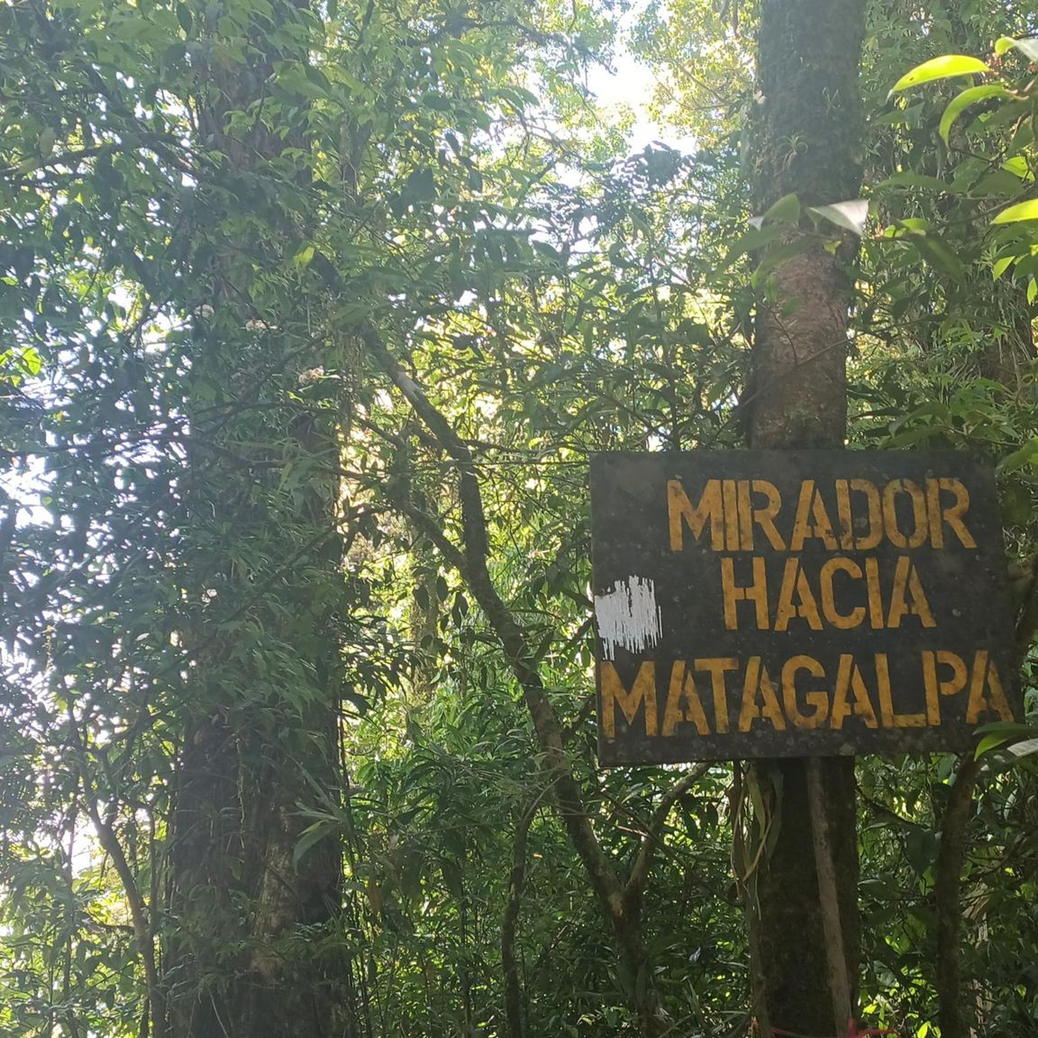
The longest touring cycling route currently available is the Mirador – Punto más alto loop from Matagalpa. This challenging route spans 39.2 miles (63.1 km) and features significant elevation changes, often taking around 4 hours and 56 minutes to complete.
Is the Cordillera Isabella suitable for beginner touring cyclists or families?
Given the significant elevation changes, challenging climbs, and difficult ratings of the available routes, the Cordillera Isabella is generally not recommended for beginner touring cyclists or families looking for easy rides. The terrain is more suited for experienced riders seeking a demanding adventure.
What is the best time to bike in the Cordillera Isabella?
The central regions of Nicaragua, including the Cordillera Isabella, are home to cloud forests which offer cooler temperatures. While specific seasonal recommendations for cycling aren't provided, the cooler, misty conditions of the cloud forests can be more pleasant for strenuous rides. It's always advisable to check local weather forecasts before planning your trip.
Are there any specific attractions or points of interest along the cycling routes?
While specific attractions are not detailed for each route, the region itself is rich in natural beauty and cultural sites. You'll encounter extensive coffee plantations dotting the hillsides, dense forests, and deep valleys. The area's biodiversity also makes it excellent for wildlife spotting and bird watching.
What should I wear for biking in the Cordillera Isabella?
Considering the challenging terrain, significant elevation changes, and potential for cooler, misty conditions in cloud forest areas, it's recommended to wear appropriate cycling gear. This includes moisture-wicking layers, rain gear, and sturdy cycling shoes. Helmets are essential for safety on these demanding routes.
What do other touring cyclists enjoy most about the Cordillera Isabella?
Touring cyclists who have explored the Cordillera Isabella on komoot appreciate the region's challenging mountainous landscapes and the sense of adventure these routes provide. The significant elevation changes and diverse natural features, including cloud forests and coffee plantations, offer a unique and rewarding experience for those seeking demanding rides.
Can I find public transport options to reach the starting points of these bike trails?
The listed routes, such as the Bar La Flore loop, Los Esteros loop, and Mirador – Punto más alto loop, all start from Matagalpa. Matagalpa is a significant city in Nicaragua, and it's generally well-connected by public transport within the region. However, specific public transport details directly to the trailheads would require local inquiry upon arrival in Matagalpa.
Most popular routes in the Cordillera Isabella

Get inspired with the komoot mobile app


